The hike to Lunersee Lake is quite an interesting adventure because although we were in Switzerland and hiked all the way to the viewpoint above the lake, it is actually in Austria. If you went down to walk around Lunersee Lake, you would have crossed the border and entered Austria. The hike itself is long and full of adventure with some chains and exposure towards the end. The shape of the lake is a love-heart but only when viewed from certain angles such as the Gamsluggen viewpoint in Switzerland.
LUNERSEE LAKE HIKE HIKE
- Hike Distance: The cable car in Fanas will drop you to Maiensäss Eggli. From there the hike to Gamsluggen for the view of Lunersee was 11.86 kms. The route back took us 17 kilometers as we missed the last cable car and bus combo so we had to hike all the way down to Fanas. The minimum amount you could hike if you went early enough to catch the last bus/cable car combo is 11.86km x 2 for an out-and-back trail, which would be a 24km day with 1000+ meters of incline. ( I will detail the ideal cable car/bus combo in the ‘How to get there’ section below.
- Hike Duration: As mentioned above, it depends on how you return from Gamsluggen but the hike up to Gamsluggen Viewpoint took us 3.5 hours of ‘moving time’. This means if you take 2 hours of photo stops or lots of rest/eating breaks you will need to add those onto the ‘moving time’. Our pace was moderate.
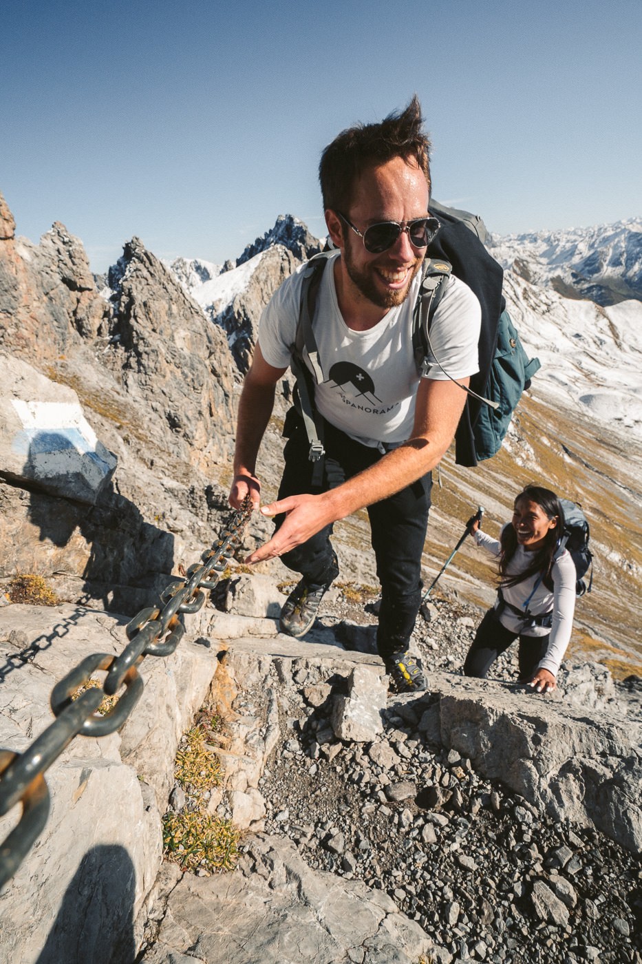
- Hike Difficulty: The hike is a red and white marked trail for 3/4 of the journey. However, you will reach an intersection at a small hut before the final ascent and here you will take a blue and white alpine trail to Gamsluggen. It is one of the more moderate blue and white alpine trails I’ve taken. The climb was with a lot of gravel in many parts but never with much exposure until the final section. Here you have exposure only on one side with a drop-off. The path is quite wide, with solid terrain and there are chains in this section. It was very quick to pass and I’ve pictured it below so you can see clear visuals of the most ‘dangerous’ part of the trail and decide if you are up for it or not.
- Hike Incline: From Maiensäss Eggli the total incline is 1,067m to Gamsluggen viewpoint over Lunersee. However, even on the descent down to Fanas, we collected some vertical mileage but I didn’t record the descent to Fanas as my watch died at the Gamsluggen summit.
YOU WILL ALSO LIKE MY SWITZERLAND HIKING GUIDE: 50 AWESOME HIKES IN SWITZERLAND
HOW TO GET TO GAMSLUGGEN TRAILHEAD
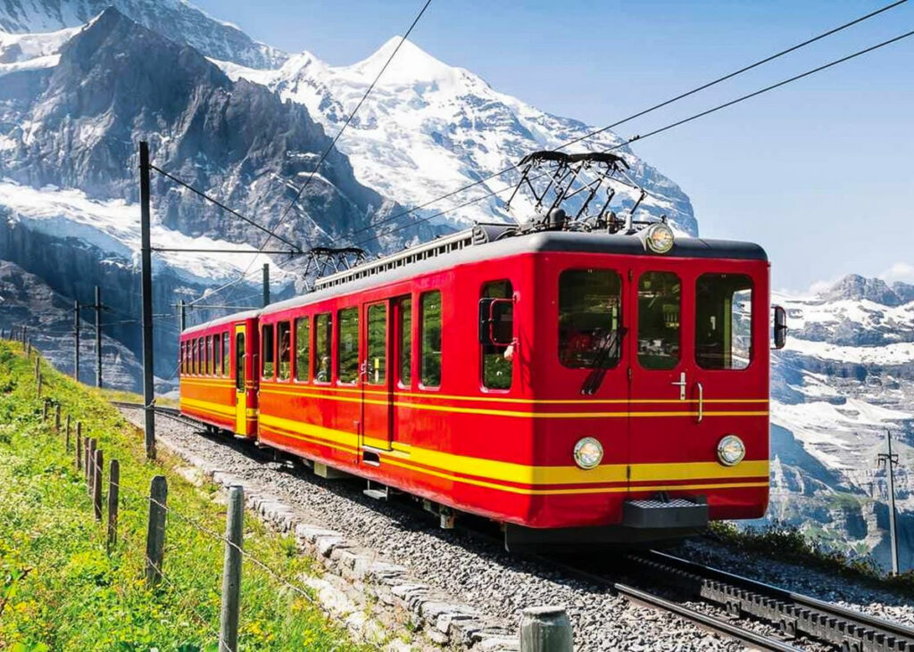
The train station you will need to arrive at is Schiers Train Station. Once at Schiers, you can catch a bus to the Fanas to Maiensäss Eggli cable car. You will need to check the schedules of both because, unlike many popular/busy parts of Switzerland, these two services don’t run frequently or late in the day. For example on the day we went, the last cable car down was 6:30 but the last bus from Fanas cable car station to Schiers was 4:30, which meant we would have to walk 5 kilometers back to Schiers.
- You can check the Fanas cable car times here.
- You can check the Post Bus times from Schiers to Fanas here.
GOING DOWN: Getting back from Gamsluggen is also an interesting task. You have 2-3 options, which I’ll detail below:
- Return the same way you came and take the cable car down to Fanas (assuming you are early enough) and then take the bus back to Schiers Train Station (assuming you are early enough). If you drove to Fanas Cable Car Station you need not worry about the bus obviously. This would equal a 24.7-kilometer loop hike.
- If like us, you are far too late to catch the bus or the cable car (missing either one means you probably don’t return the same way you came), you can hike all the way down to Fanas and then try and hitchhike. This is what we did and luckily a local man took pity on us at 8 pm in the dark and drove us to Schiers. This was still a 28-kilometer hike because from Gamsluggen to Fanas was just over 16 kilometers.
- The final option is to DIY the entire trip and hike back to Schiers Train Station, which will be well over 30 kilometers for the day. This was our ultimate fall-back plan. Thanks to the man who took pity on us, we didn’t need to add another 5 kilometers onto our already tired legs.
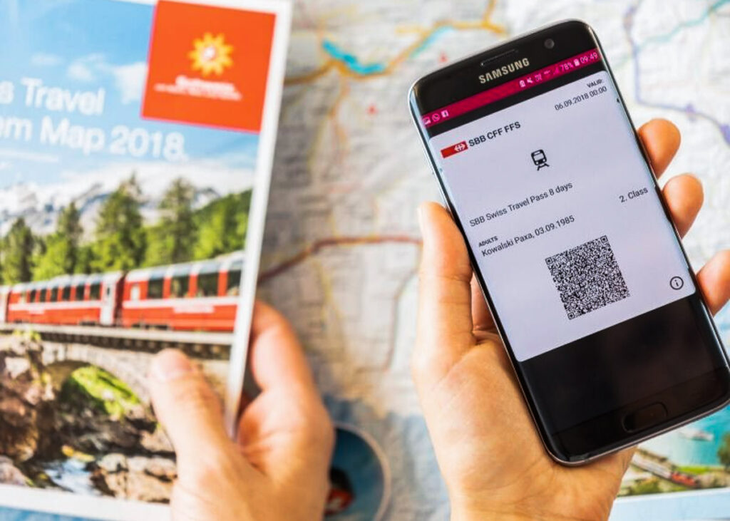
If you have the Swiss Half-Card you will receive a huge discount on your tickets. I bought mine when I arrived in Switzerland and it has saved me over a thousand dollars throughout my trip.
GET A SWISS TRAVEL PASS!
Enjoy UNLIMITED train, boat, and bus rides in Switzerland for up to 15 days. Click to book a flex Swiss Travel Pass or choose the Consecutive Swiss Travel Pass.
The Swiss Travel Pass starts at $260 for 3 days. Click here to check if it’s available on your travel dates.
GUIDE FOR THE LUNERSEE VIEWPOINT HIKE
As you can see from the above directions it isn’t the simplest adventure ever and there were also many turns and waypoints to know along the way. I was lucky enough to be guided up by Mark from My Swiss Panorama. They are a tour company specializing in off-the-beaten-path adventures, which is exactly what this hike was. Mark was a great guy and is an environmental expert so he dishes out great facts and knowledge along the way. Below is a photo of Mark guiding us up the chained section of Gamsluggen.
MY EXPERIENCE ON THE LUNERSEE HIKE
The Lunersee hike starts off at the Fanas Cable Car Station on a small gondola that ferries you up to the Maiensäss Eggli station. Once we said goodbye to the friendly old man attending the gondola, we didn’t see another person until later that night when we returned to Fanas. This trail was off-the-beaten path.
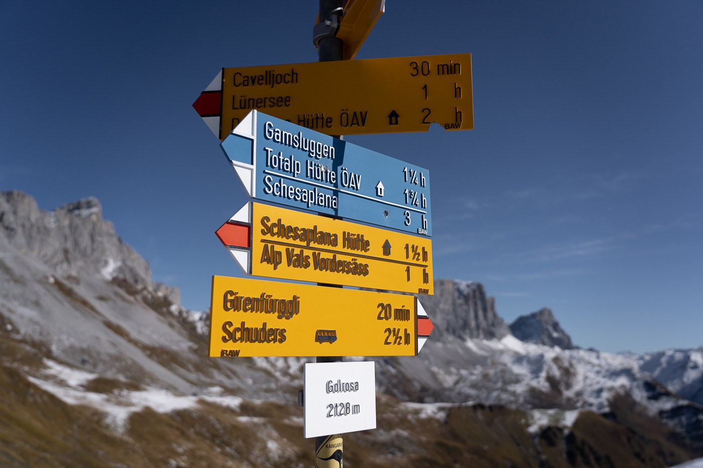
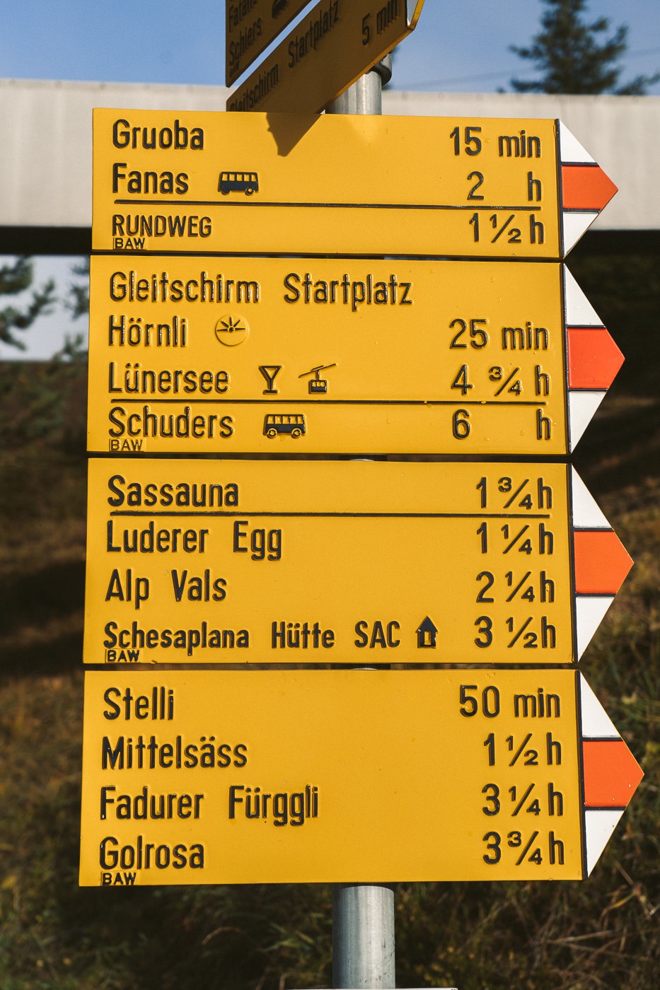
At the Maiensäss Eggli station, there is a pole with lots of yellow signs as you will find across the very well-signed Switzerland. Your final destination is Gamsluggen, which is the viewpoint above Lunersee. However, you will follow the Lunersee signs for the first sections of the hike until about 3/4 of the way through when you will come across the Gamsluggen (blue and white) sign.
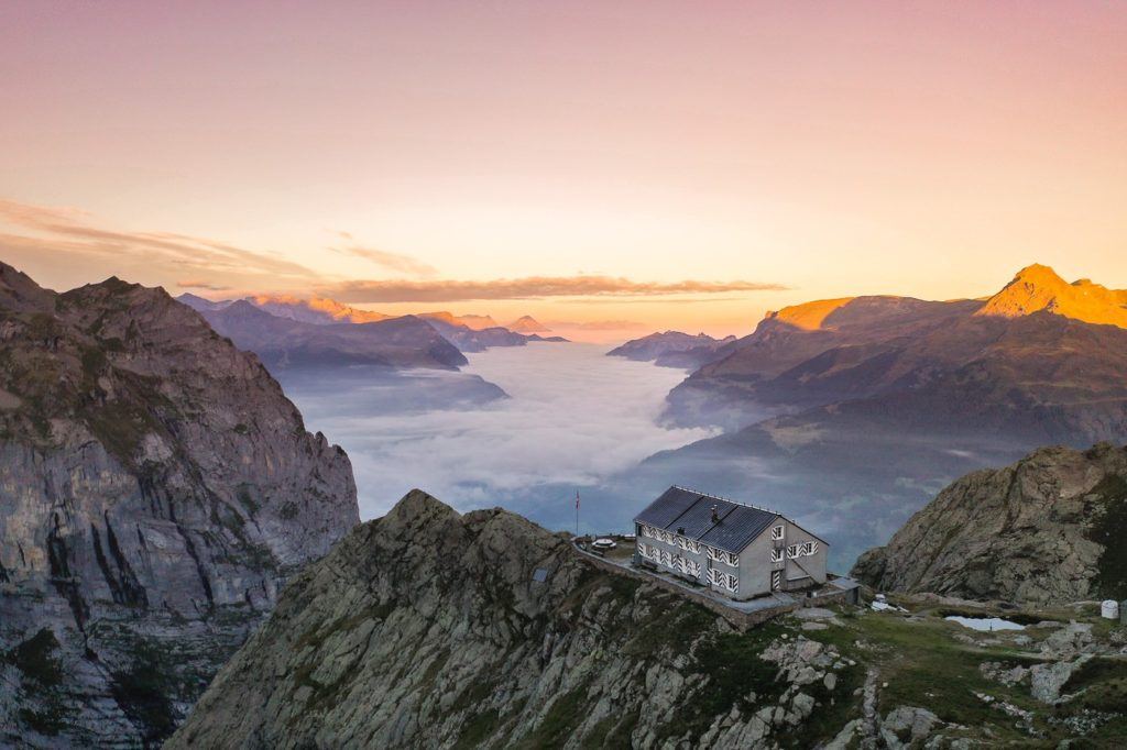
As we stepped off the cable car, the low-level clouds were creating quite an epic scene down in the valley below us. We weren’t sure about the mid-October weather and it had snowed the night before, but it seemed the weather was about to give us a day to remember.
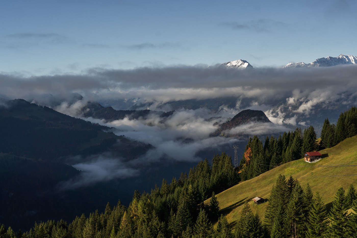
The trail quickly led us up into the snow, where we did our best to stay in course while simultaneously trying to spot Chamois and Ibex on the mountain above us. Despite the fog, we spotted lots of Chamois, although they darted away before we were within striking distance with the cameras.
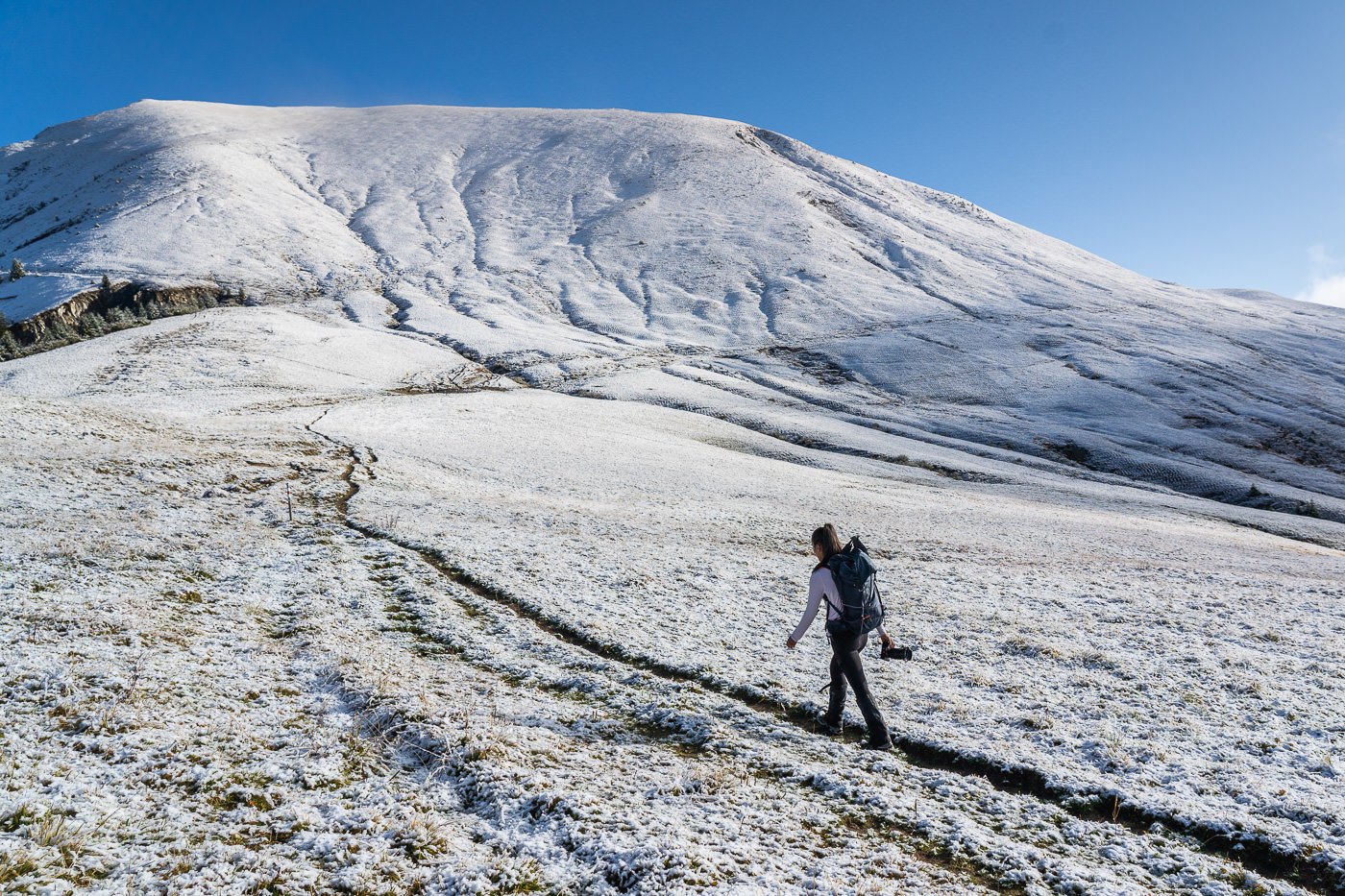
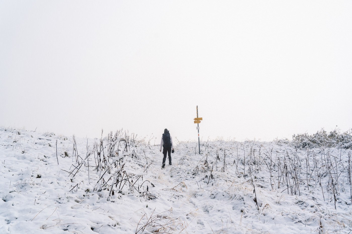
With snow sneaking into our boots and the muddy trail becoming more slippery by the minute, we marched on through the white wonderland. Pausing only to admire the beautiful, vibrant fall colors contrasting starkly against the powdery white.
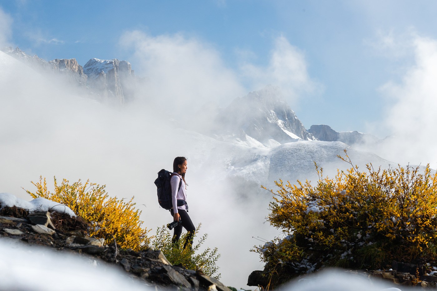
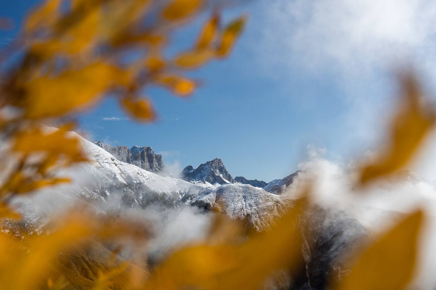
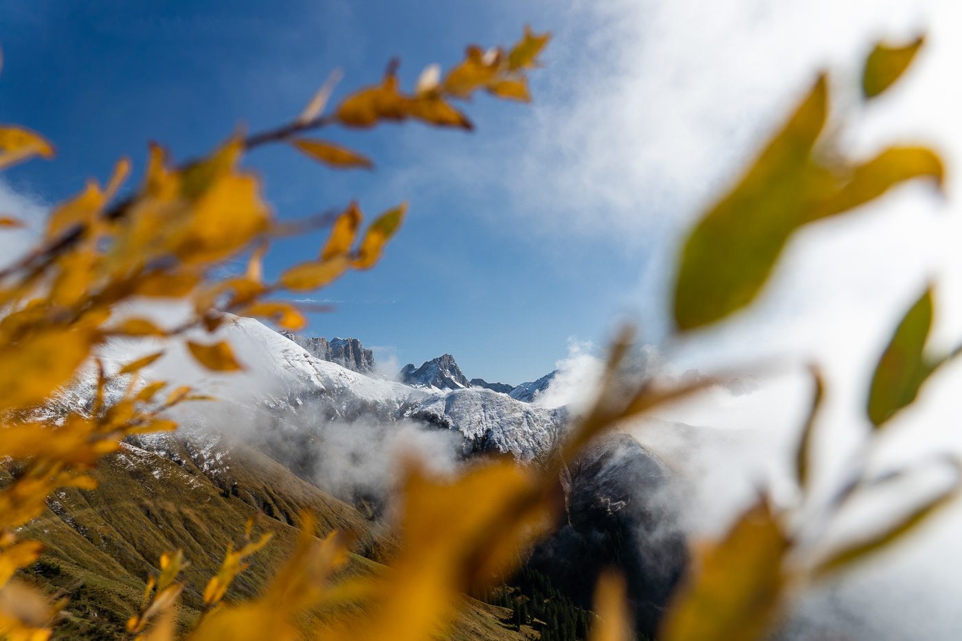
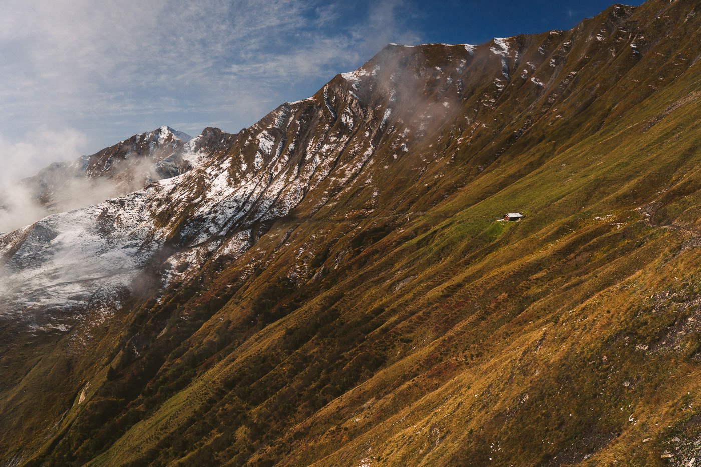
There were several huts along the route, none of which were open. During the summer months, I can imagine a busier trail but for now, in October, we were the sole hikers. The huts presented only an opportunity for a piece of chocolate we had carried up while sitting on the doorstep instead of a warm coffee or slice of pie inside with the heater blaring.
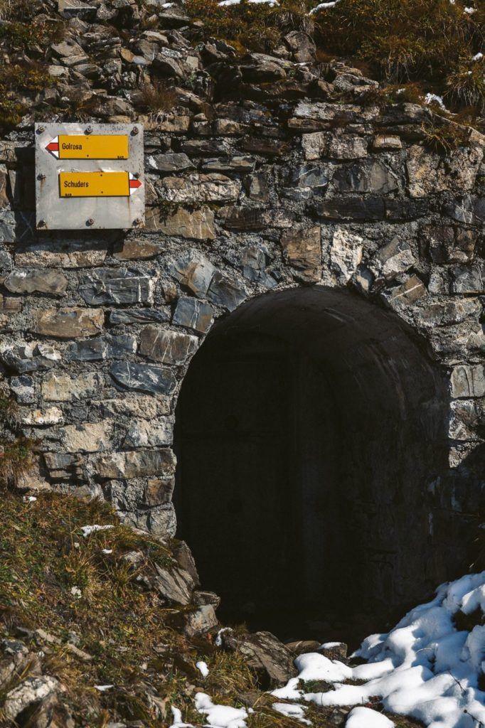
A steep climb up the hill leads you to a door in the wall, which apparently opens up to a bunker. Mark, our guide tells us that Switzerland has enough bunkers around the country that it is capable of housing every single citizen in a bunker should the need arise. Here you will find a split in the trail. Continue to the right and follow the Golrosa sign at this point.
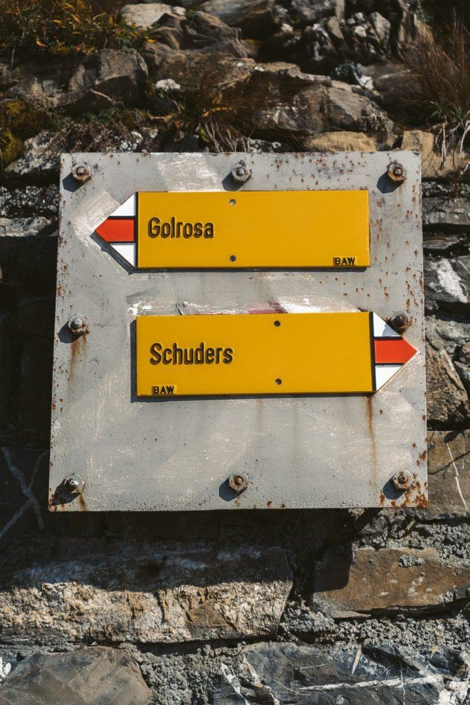
After the bunker, we made the last few steps to the top of the ridge to reveal a snowy valley with an incredible ridge on the other side. That ridge on the other side was our destination and we could, for the first time, see Gamsluggen. It was probably the most scenic section of the trail and the snow was quite deep in parts after the fresh snowfall the night before.
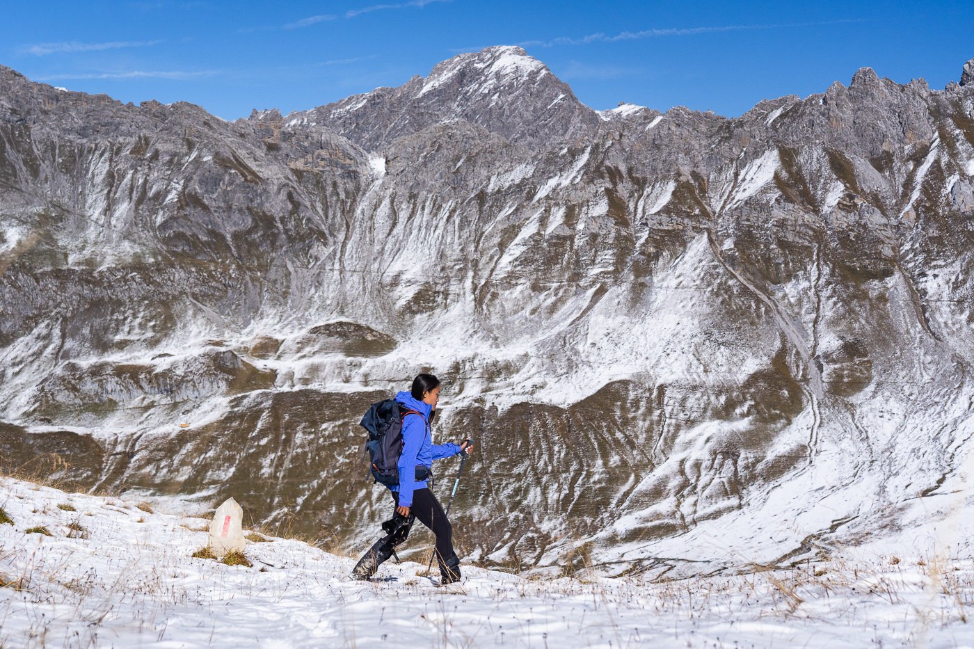
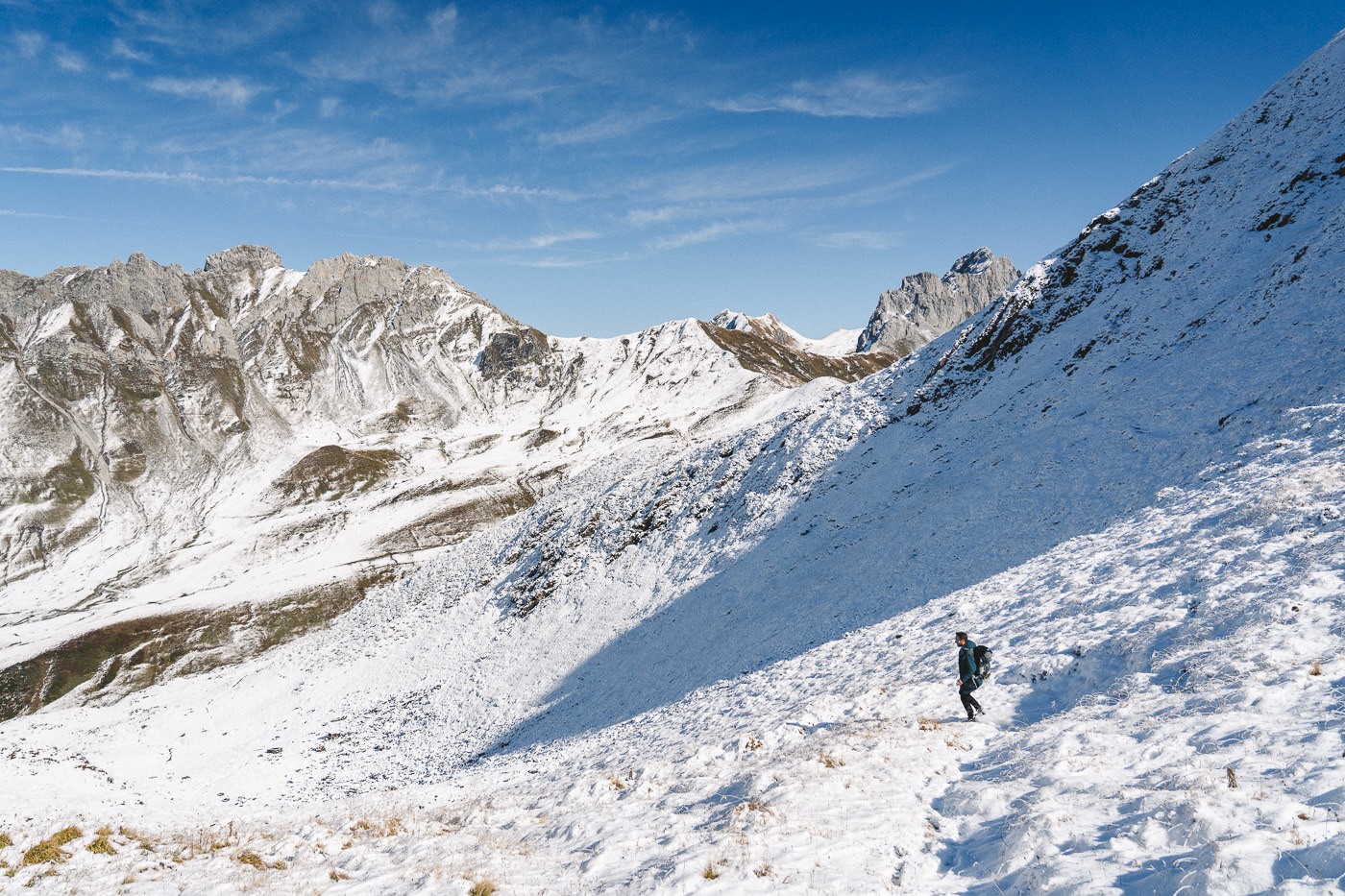
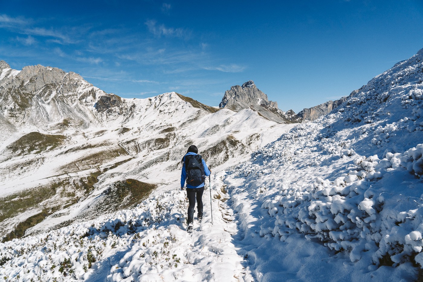
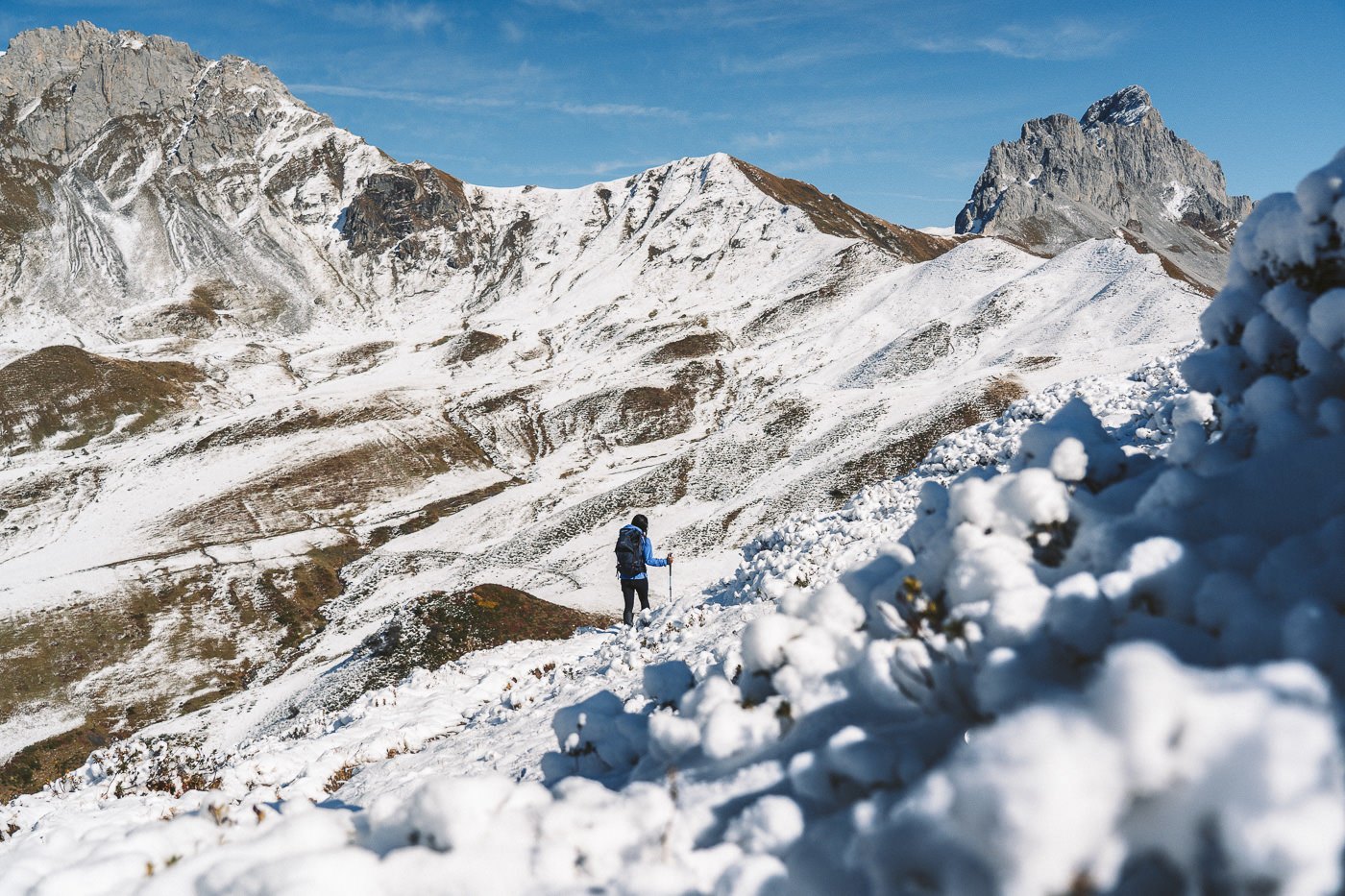
In the middle of the valley, we reached another small hut, which acts as an intersection for a number of trails in the region. This is the first time you will find a ‘Gamsluggen’ sign in blue and white. From this point on you will be following the ‘Gamsluggen’ signs. It begins following a red and white trail but then later it diverges up to the right and ascends sharply as it becomes marked with blue and white paint on the rocks.
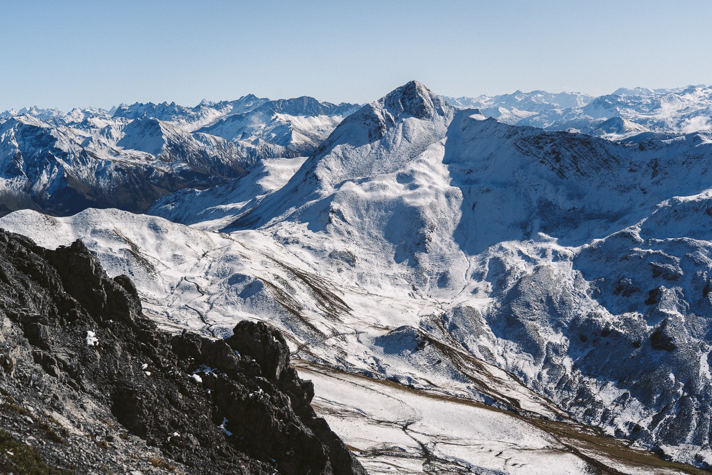
This part of the trail is very steep and the path is composed of slippery gravel. It’s time to switch on mentally as this is where you need to concentrate to stay safe. The trail runs through a series of switchbacks on the gravel before entering the chained section. The chained section is nothing to worry about with a wide path. There is a drop-off but with solid footing and concentration, it was one of the easier ‘alpine trails’ I’ve come across.
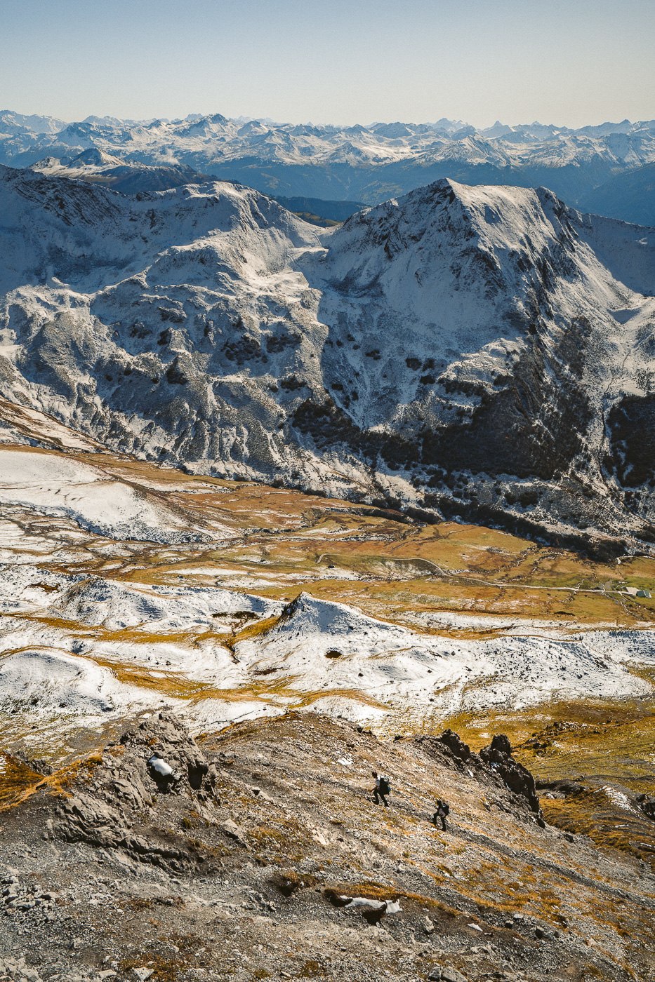
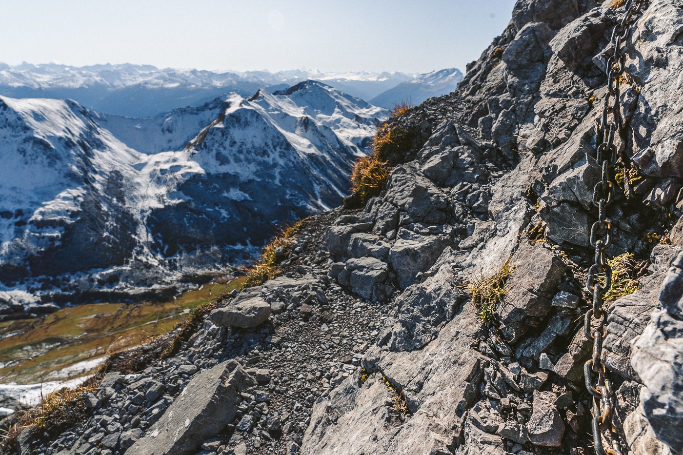
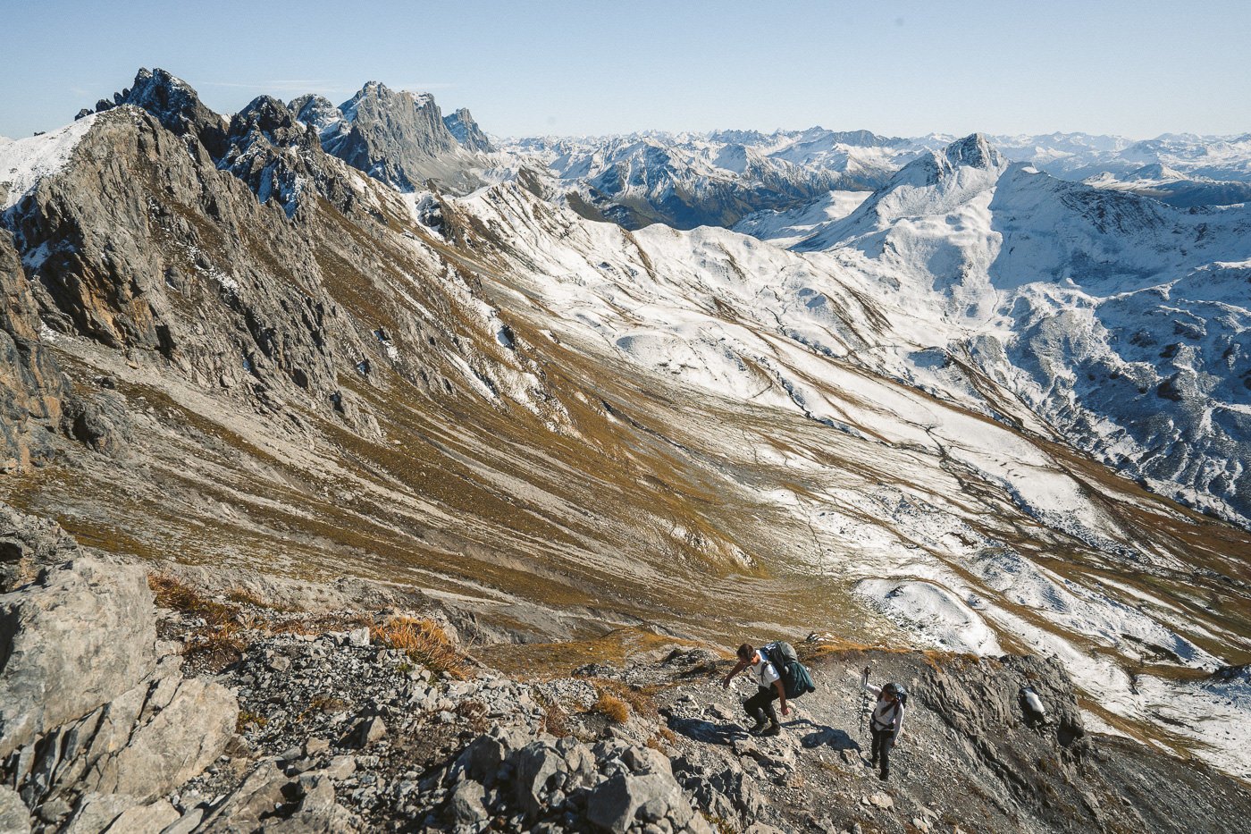
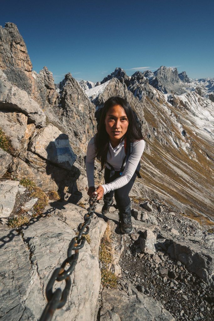
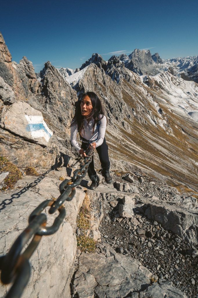
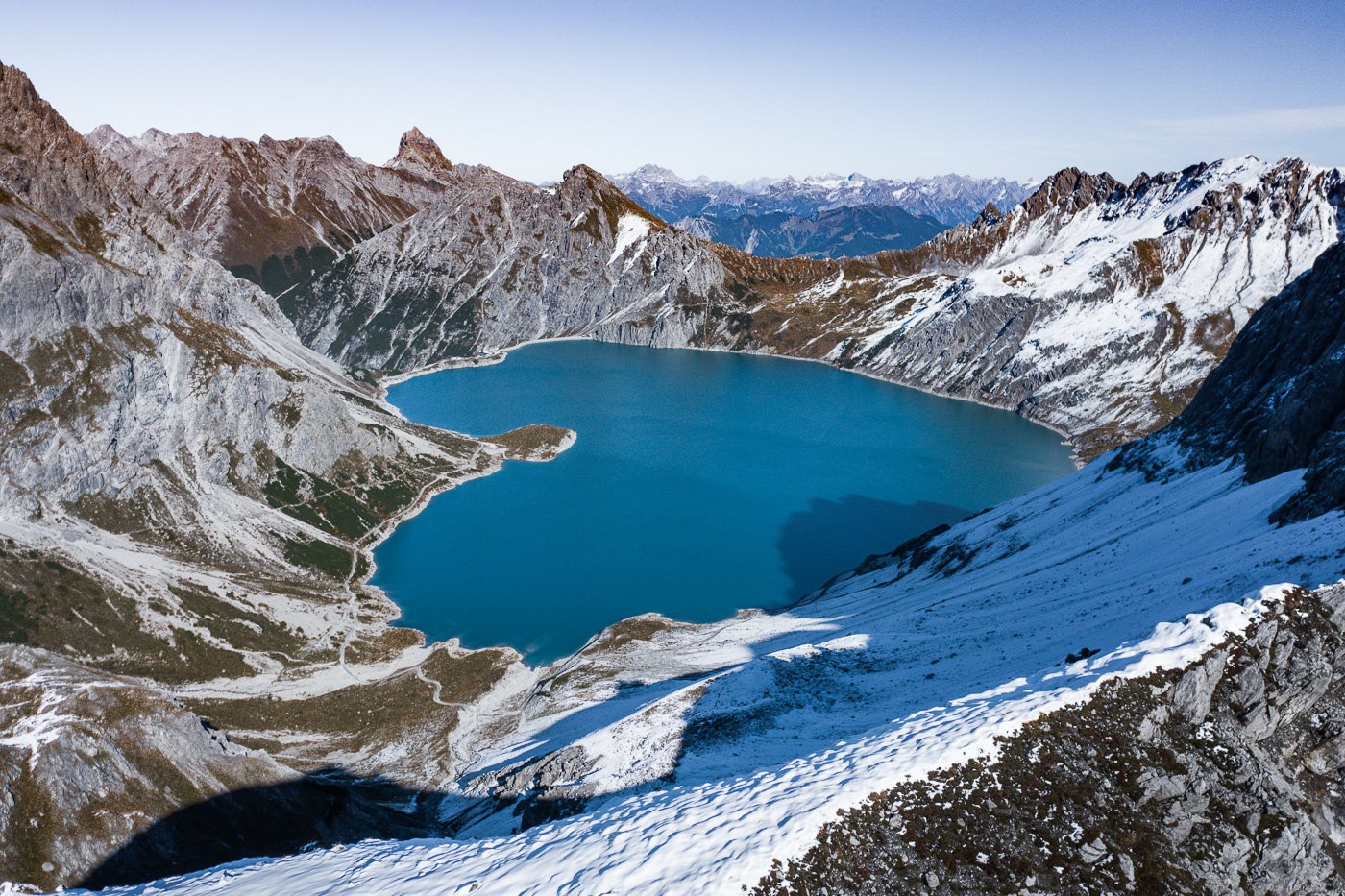
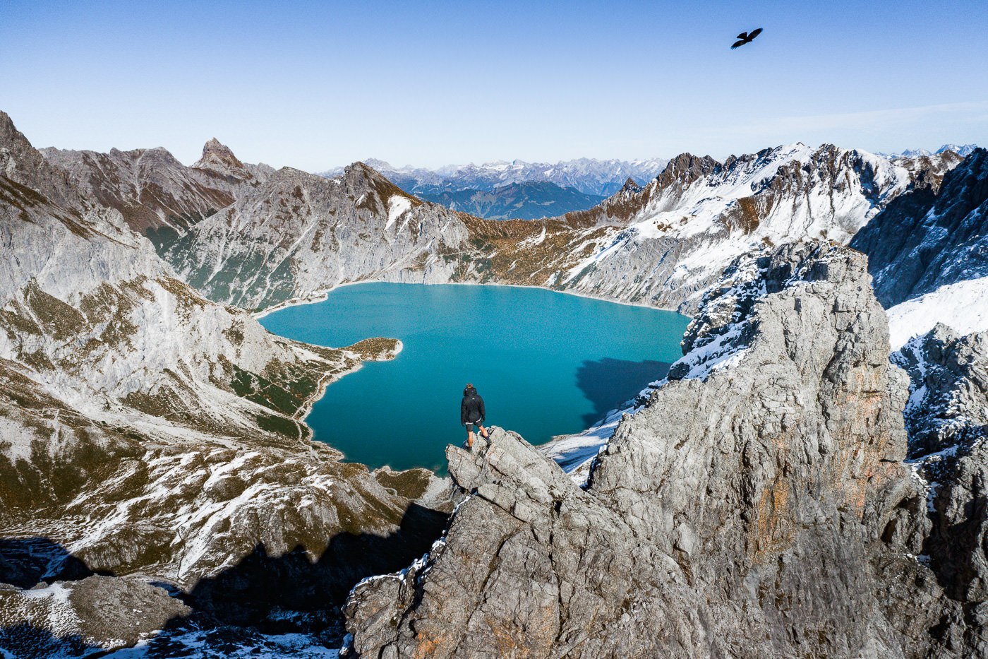
Once you pass through the chains, you are mere meters away from Gamsluggen summit and that means you are just moments from laying your eyes on the Lunersee love heart. After almost 12 kilometers of hiking and 1,000m of incline, we reached the summit and there she was. A vibrant blue love-heart-shaped lake sat across the border in Austria.
We hung out at the top watching eagles fly past, eating our cheese and bread lunch, and climbing a few of the ridges in the vicinity. I guess you can go down to the lake but it will turn a long hike into a very, very long hike as you will need to return the same way you came.
It’s important to let you know that the lake is indeed shaped like a love heart… but only from some angles. As I flew the drone, it became clear that the lower tip of the love heart was more rounded. I just thought I’d mention that in case you hike to a different viewpoint and are surprised by the shape of the lake. Gamsluggen gives the best love-heart shape of Lunersee Lake.
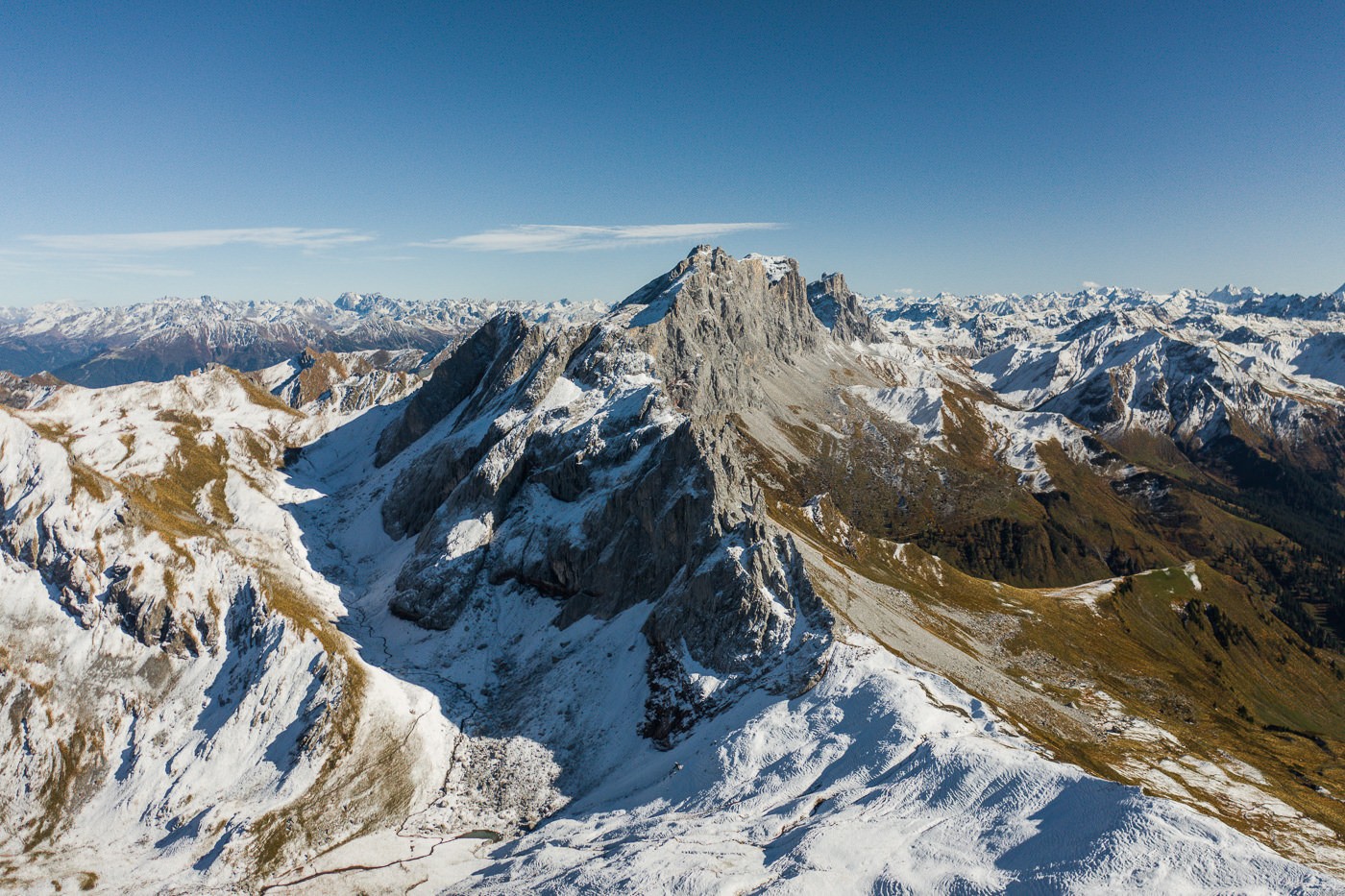
Here are some of my favorite shots from the top of the Gamsluggen viewpoint taken with the camera and the drone.
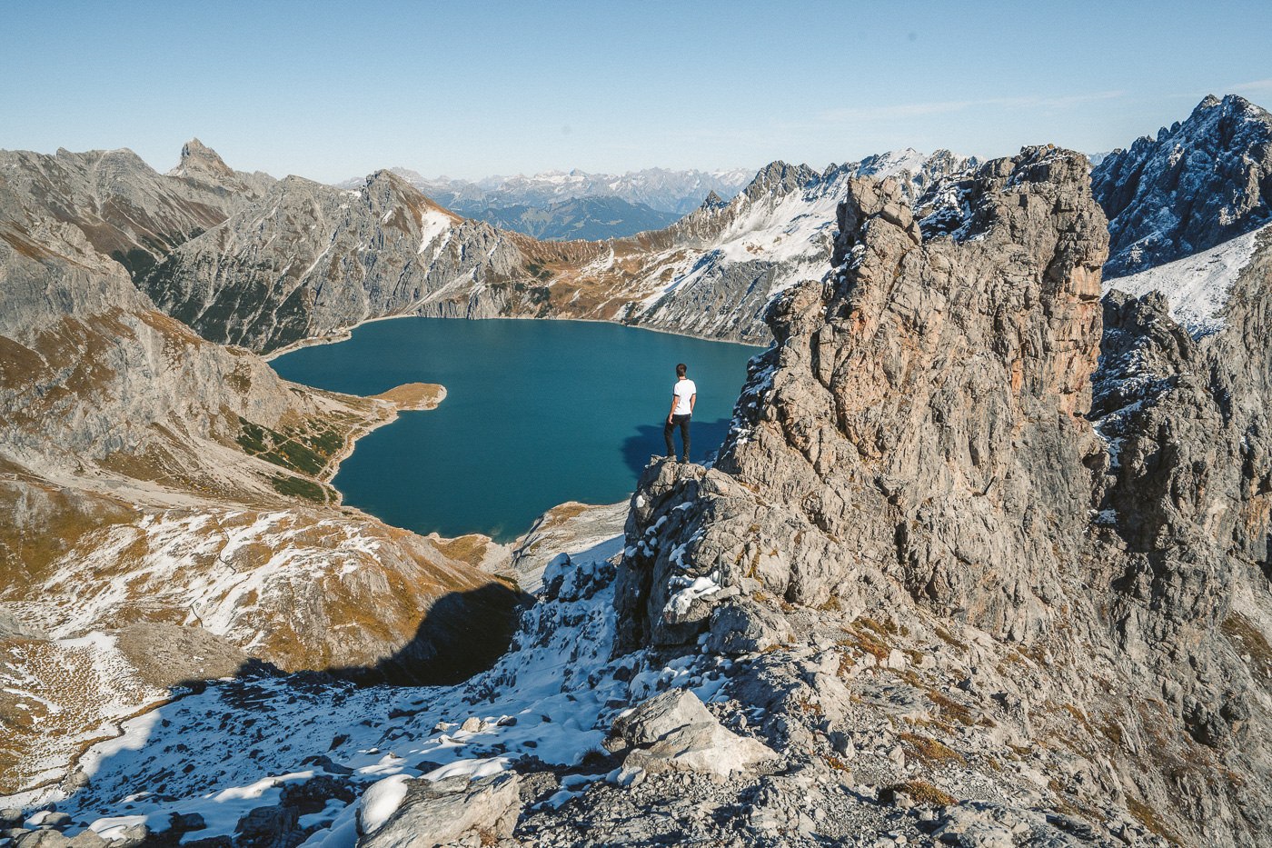
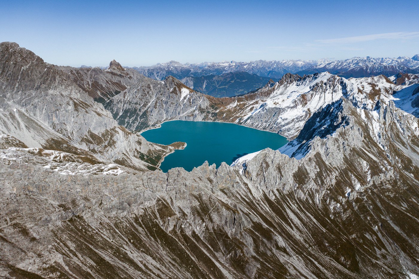
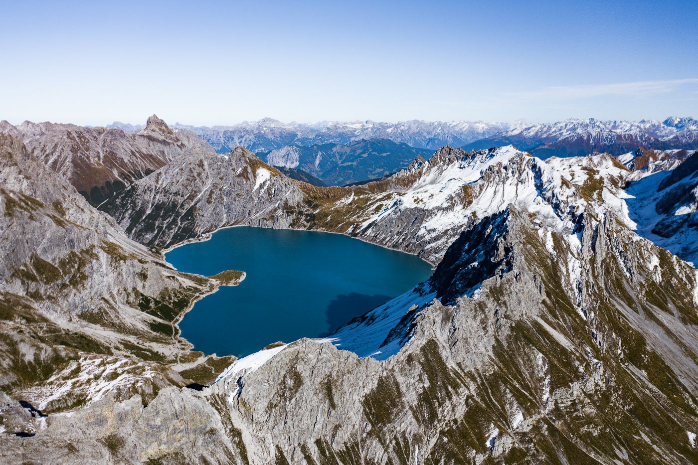
The journey down was a long one. As I mentioned in the directions before, we missed the last bus/cable car combo so we hiked down to Fanas. Along the way, we passed through the incredible fall colors of the forest and spotted a deer. The trail was moderate but became difficult to navigate in the dark. Not impossible but I did slip multiple times. You could stay for sunset at the Lunersee but it would be one hell of a hike down in the dark and I don’t really advise that to be honest. You will arrive back around midnight I would imagine. Again, not advised but definitely possible for you golden-light chasers out there.
When we made it back to Fanas, a local took pity on us and drove us to Schiers, which was handy because none of us were keen on an extra 5 kilometers in the dark at 8 pm after almost 30 kilometers in the legs already. It was one of many examples of Swiss people going out of their way for me as a hiker and as a tourist. I’ve only had positive experiences in my three months in the land of cheese and chocolate.
A big thanks to Mark for guiding us and showing us this epic viewpoint of one of the most uniquely shaped lakes in the region.
SWISS TRAVEL PASS or HALF-FARE CARD
OPTION 1: Buy the Swiss Half Fare Card: Switzerland trains, buses, and cable cars are EXPENSIVE! I found the best way to get around cheaply was to buy the Swiss Half-Fare Card before I arrived. It gives you 50% off every regular train, bus, and even many cable cars. It only costs $150 USD but pays itself off in just a few days with many train tickets in Switzerland costing close to $100 alone. If you are staying for more than 5 days, I suggest buying the Swiss Half-Fare Card.
OPTION 2: Buy the Swiss Travel Pass: The second option is to get the Swiss Travel Pass, which gives you unlimited train, bus, and (many) cable car rides but it’s pretty expensive at around $100 USD per day so if you don’t travel each day it isn’t worth it.
OPTION 3: Buy the FLEXI Swiss Travel Pass: The final (BEST) option is to get the FLEXI Swiss Travel Pass, which allows you to buy 8 days’ worth of transit but you can choose the night before if you want to activate the next day. That way you don’t need to travel every day to get your money’s worth, you can just activate the FLEXI Swiss Travel Pass on the days when you are doing sizeable transits. My advice is to book the Swiss Half-Fare Card or the FLEXI Swiss Travel Pass in advance before your trip so it’s ready to go when you arrive.
GET A SWISS TRAVEL PASS!
Enjoy UNLIMITED train, boat, and bus rides in Switzerland for up to 15 days. Click to book a flex Swiss Travel Pass or choose the Consecutive Swiss Travel Pass.
The Swiss Travel Pass starts at $260 for 3 days. Click here to check if it’s available on your travel dates.
MY SWITZERLAND HIKING GUIDES
I spent 100 days hiking in Switzerland and created a guide for different regions around the country. You can click on one of my Switzerland hiking guides below to help you plan your trip.
- The Complete Guide: 50 AWESOME HIKES IN IN SWITZERLAND
- The Via Ferrata Guide: 4 EPIC SWITZERLAND VIA FERRATA COURSES
- Lauterbrunnen Guide: 10 AWESOME HIKES NEAR LAUTERBRUNNEN
- Interlaken Guide: 15 AWESOME HIKES IN INTERLAKEN
- Grindelwald Guide: 12 AWESOME HIKES NEAR GRINDELWALD:
- Mürren Guide: 7 AWESOME HIKES IN MURREN
- Appenzell Guide: 9 AWESOME HIKES NEAR APPENZELL
- Chur Guide: 7 AWESOME HIKES NEAR CHUR
MY SWITZERLAND TRAVEL TIPS
- For Backpackers: SWITZERLAND BUDGET BACKPACKING GUIDE
- Travel Tips: 20 THINGS TO KNOW BEFORE VISITING SWITZERLAND
- Transport Tips: RENTING AND DRIVING A CAR IN SWITZERLAND
- Accommodation Guide: 30 BEST PLACES TO STAY IN SWITZERLAND

Gosia
Sunday 1st of October 2023
Hej hej! Thanks for the recommendation of the hike. Did it and ot was really beautiful. However I do not agree with your description of difficulty. The hike shoudl be marked as difficult, as it has parts of it going on T3 and T4 (alpine) swiss graded paths.