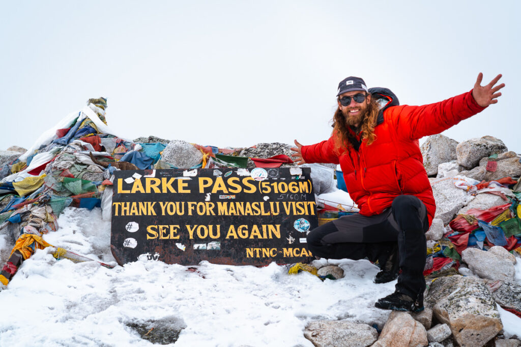
The Manaslu Circuit Trek is an off-the-beaten-path trail in the Himalayas of Nepal. The route leads you up and around the base of Mount Manaslu as you stay each night in different Tibetan villages along the way. The scenery is incredible, especially the last few days of the circuit as you reach heights of above 5000 meters while crossing the Larke Pass, also known as Larkya La Pass.
TRY THE 3 BEST TREKS IN NEPAL
Manaslu Circuit: My personal favorite 2-week trek through Tibetan villages and stunning scenery with less crowds.
Annapurna Circuit: The most beautiful & scenic 2-week trek in Nepal although can be crowded at times.
Everest Base Camp Trek: The most iconic 2-week route reaching the famous (EBC) Everest Base Camp at 5,300m.
I highly recommend this circuit for those who looking to avoid the crowds of Annapurna Circuit and the Everest Base Camp Trek. The highlight of this circuit is the authentic culture of the Tibetan villages along the way and takes you around Manaslu, the world’s eighth-highest mountain at 8,163 meters (26,781 ft).
Before sharing my experience on the trek with One Globe Travel in the second section of this blog post, I will detail all of the information you have to know in this complete guide about the Manaslu Circuit Trek.
You can use my discount code ‘JACKSON5‘ for 10% off the total price of your trek with One Globe Travel, which is a pretty handy saving of almost $200! To book the trek with One Globe Travel you can visit their site by CLICKING HERE or contact them via the details below:
THE MANASLU CIRCUIT TREK GUIDE
In this blog post, I will cover everything you need to know about the logistics of the Manaslu Circuit Trek and also share with you my experience on each day of the trek in the form of a short journal entry and my photos from that day. This will give you an idea of what to expect and a great insight into the scenery you will find on each day of the trek.
MANASLU CIRCUIT TREK DETAILS
- Distance: 180 km through-hike from Machhakola to Dharapani
- Days required: 12 days
- Total Incline: ( with undulation) – 11,000 m
- Total Decline:(with undulation) – 9,800 m
- The highest point on the trek: 5200m, which was just above the Larke Pass (Larkya La Pass) on day 11.
- Difficulty: This trek was much harder than Everest Base Camp Trek as it was 30% longer, much steeper, and less commercialized. Having said that, it was basic walking and there was nothing technical. Our longest day was 27km with 1600m of incline. If you can handle the altitude of 5,200m and can walk each day for 6-10 hours, you will be fine on this trek. The acclimatization profile was very good as you have 11 days to reach the highest point, so it eases you into it.
- Permits: Your tour operator will take care of these in each town and for the Manaslu Circuit Trek it isn’t possible to hike independently. You must hike with a guide and there must be at least two in your group, as well as the guide.
- Guide: A guide is required on this trek and the guide manages all of the logistics, distances, directions, and tea houses. The directions weren’t always very clear like on the Everest Base Camp trek and having the guide manage all of the logistics was great. I went with One Globe Travel and highly recommend them.
- Accommodation: Guest Houses, also known as Tea Houses, are available along the way where you will sleep in a comfortable bed and have access to showers (extra charge) and restaurant facilities. Very comfortable accommodation and great after a long day of hiking. Most of the villages were Tibetan, which gave us a great insight into their unique culture.
TOP 3 PLACES TO STAY IN KATHMANDU

- Ultimate Luxury: The Dwarika’s Hotel – Luxury, Spa-service, Pool
- Best Value: Aloft Kathmandu Thamel – Swimming Pool, Gym & Great Restuarant
- Budget Choice: Hotel Jampa is easily the top cheap hotel in Kathmandu
KEY POINTS ABOUT THE MANASLU CIRCUIT TREK
- This circuit is way less crowded than Everest Base Camp and the Annapurna Circuit. It is growing in popularity but it’s still a great time to trek this circuit before it hits the mainstream.
- The Manaslu Circuit trek is off-the-beaten-path and remote. However, there are teahouses in each village along the way so each night you get a great sleep in a bed with blankets, have access to showers, eat great meals in a restaurant, and can charge your electronics and cameras.
- The trailhead can be reached by car so there is no need to pay for expensive domestic flights.
- The first few days of the circuit run along the trail next to the river in a deep gorge called the Buri Gandaki with lots of suspension bridge crossings. The trek transitions to the snow for the last few days although you can trek with regular hiking boots while enjoying the massive snowy mountains on either side of the trail.
- The scenery is constantly changing and you will experience a subtropical jungle while at lower elevations before entering the Himalayan foothills. Finally, you will reach the Larkya La above 5,100 meters / 17,000 feet.
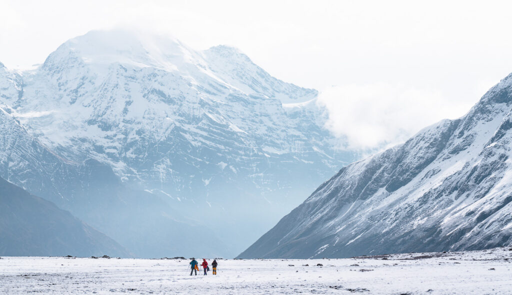
BOOKING A GUIDE FOR THE MANASLU CIRCUIT
The Manaslu Circuit Trek does require a guide. Everest Base Camp and Annapurna Circuit can be done independently but the rules on the Manaslu Circuit are stricter about having a guide. I did the trek with Samip from One Globe Travel, which is one of the top trekking companies when it comes to Manaslu Circuit. The owner, Nawang, is a Tibetan himself, which is the main culture you will experience along the circuit.
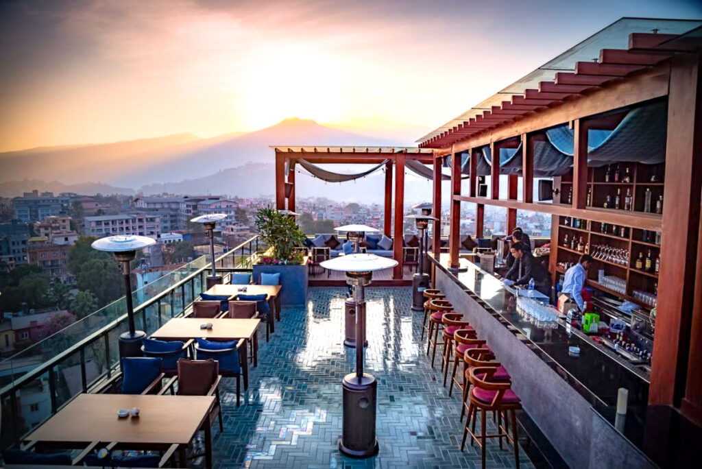
The trek costs around $1800 USD with One Globe Travel as of 2021 and includes all transfers, accommodation, meals, drinks permits, and even the hotel stay before and after the trek at a 4.5-star hotel with a rooftop pool. I honestly had a great time, the guide was great and I can wholeheartedly recommend One Globe Travel. They even helped me many weeks after the trip during the lockdown in Kathmandu.
You can use my discount code ‘JACKSON5‘ for 10% off the total price of your trek with One Globe Travel, which is a pretty handy saving of almost $200! To book the trek with One Globe Travel you can visit their site by CLICKING HERE or contact them via the details below:
Book now: One Globe Travel
Email: info@oneglobenepal.com
Phone Number: +977-01-4003071/72/73
MANASLU CIRCUIT TREK PACKING LIST
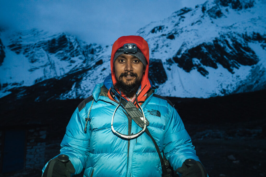
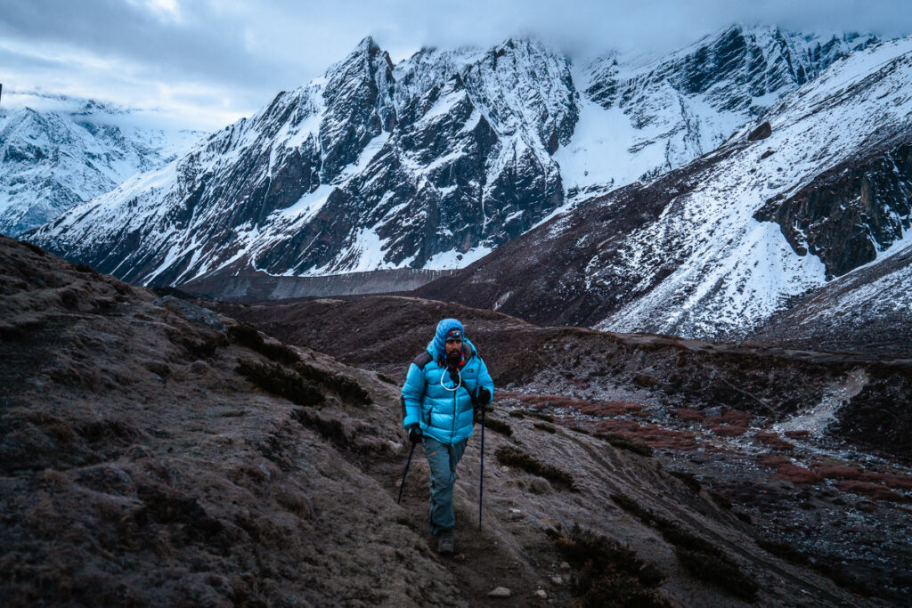
I pack pretty light and managed to wash most of my clothes each afternoon/night for the first half of the trip. In the latter stages of the trip, it was pretty cold so we weren’t sweating as much and we wore our warm gear basically nonstop while at the teahouses and there was no real need for multiple outfits. This is just a guide and it worked quite well for me with no complaints from my set-up.
You won’t need a sleeping bag as there are blankets in each guesthouse and when it got cold I just wore my down jacket. This meant I didn’t have to carry a sleeping bag for 12 days, although our guide did.
Clothes
- 1 pair of pants that maybe convert to shorts
- 1 pair of shorts
- 1 Warm or thicker pair of hiking pants
- 1 Long sleeve quick-dry shirt
- 1 Long-sleeve thermal shirt
- 2 Short-sleeve t-shirts
- 1 Thermal long underwear
- 4 pairs of quick-dry underwear
- 1 Lightweight down jacket
- 1 Heavy-duty summit down jacket
- 1 Beanie
- 1 Cap
- Sunglasses
- 1 Neck Buff
- Gloves
- Hiking boots
- Microspikes
- Headtorch
- Gaiters
- 1 pair of warm summit socks
- 2 pairs of regular socks
- Sunscreen
- Trekking poles
- Water filter
- Powerbank
All of this should fit into a backpack no bigger than 50L and be less than 15kg. I actually took a 40L camera bag, which you can see in the photos so I went super light. My camera gear included a DJI Mavic Pro 2 drone, 100-400mm, Mirrorless body, 16-35mm lens, 24-105mm lens, GoPro Max, Sony RX100, and a tripod. Without all of that, a 30L backpacking bag would have been enough.
Having said that, our guide and one of the girls on the trek had an 80L pack. I would say a 60L pack would be just about right for this trek and you would have lots of space assuming you wouldn’t need to fill it up.
TREKKING THE MANASLU CIRCUIT: WIFI/ELECTRICITY AVAILABILITY
Wifi: Costs anywhere from $free to $4 to use wifi at the guesthouses. Buy an NTC Sim before you go. It worked early on in the trek with a weak signal and I was able to get emails and chat on Facebook messenger all the way up until about day seven and then we were off-grid.
Lots of the tea-houses say they have free wifi but then will blame the weather that it isn’t working. If you really do need it, test the wifi before picking your tea-house. Overall we had some minimal connection about 40% of the time on the trek. Samaguan had decent wifi and we stayed there for two nights so caught up with all of the news and action online.
Electricity: You will have to pay anywhere from $free at low elevations to $5 to charge your power banks, cameras, and phones. The key is to get a fat power bank. Pay to charge that then charge everything from your power bank. My power bank lets me charge my phone and four camera batteries before it would be done.
Most of the places we stayed let us charge our gear for free but when it is busy they usually charge as they run off gas or solar in many of the tea houses.
MANASLU CIRCUIT ITINERARY
There are many ways to alter the route on the Manaslu Circuit just as there are lots of different options for day trips on your acclimatization days. However, for the sake of giving you a rough idea of what your itinerary and acclimatization profile will look like this is a proposed itinerary and what my trek entailed but depending on the weather, your guide, and your preference it can be altered.
- Day 1, Machhakholagaon (862m) to Jagat (1,330m) – Distance: 26km, Incline 1512m
- Day 2, Jagat (1,330m) to Deng (1880m) – Distance: 21km, Incline 1636m
- Day 3, Deng (1880m) to Prok (2275) – Distance: 14km, 1082m
- Day 4, Acclimatisation day: Prok day-trip to Kal Tal Lake (4100m) – Distance: 13km, Incline 1600m
- Day 5, Prok (2275m) to Namrung (2661m), Distance: 10km, Incline 660m
- Day 6, Namrung (2661m) to Lho (3200m), Distance: 11km, Incline 900m
- Day 7, Lho (3200m) to Samagaon (3500m), Distance 8km, Incline 600m
- Day 8, Acclimatisation day: Day trip to Pungen Gumba (4200m), Distance 17km, Incline: 800m
- Day 9, Samagaon (3514m) to Samdo (3862m), Distance: 9km, Incline 600m
- Day 10, Samdo (3862m) to Dharma Shala (4466m), Distance 7km, Incline 700m
- Day 11, Dharma Shala (4466m) to Bhimtang (3709m) via Larke Pass 5134m, Distance: 18km, Incline 800m
- Day 12, Bhimtang (3709m) to Dharapani (1860m), Distance: 25km, Incline 350m
MY MANASLU TREK VIDEO
I filmed from start to finish to give you an insight into how the trek looks and what to expect. I hope you enjoy the video.
MY EXPERIENCE ON THE MANASLU CIRCUIT TREK
For each day of the trek, I will share the details of the route for that day, a few highlights of mine personally that I wrote each night while trekking, and some of my favorite photos from that section of the route.
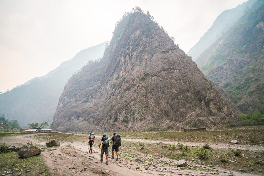
Day 1, Machhakholagaon (862m) to Jagat (1,330m) – Distance: 26km, Incline 1512m
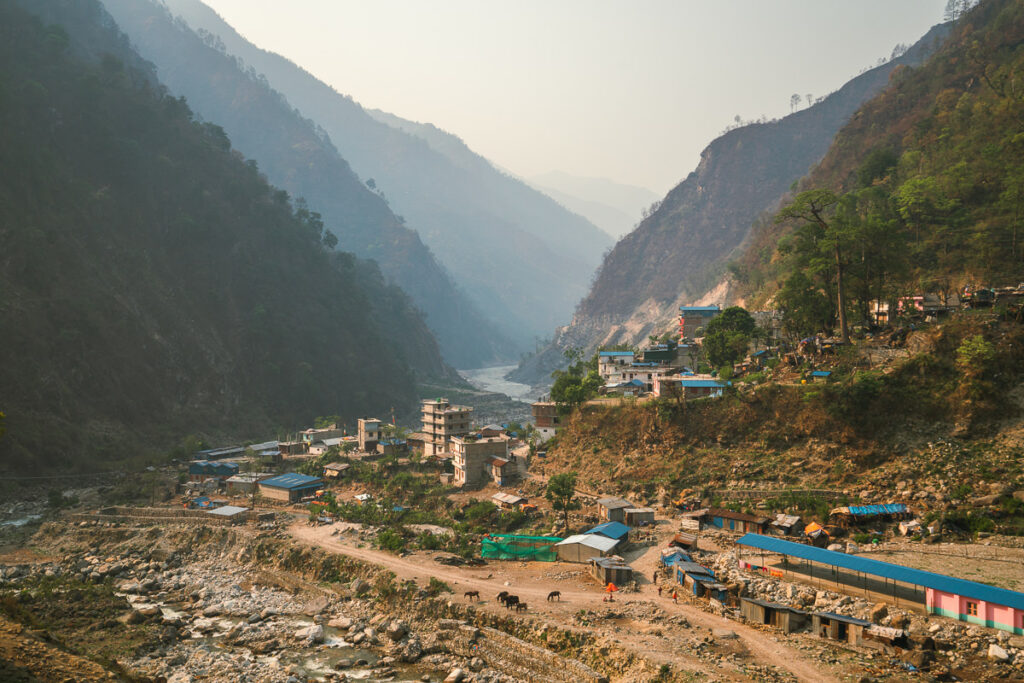
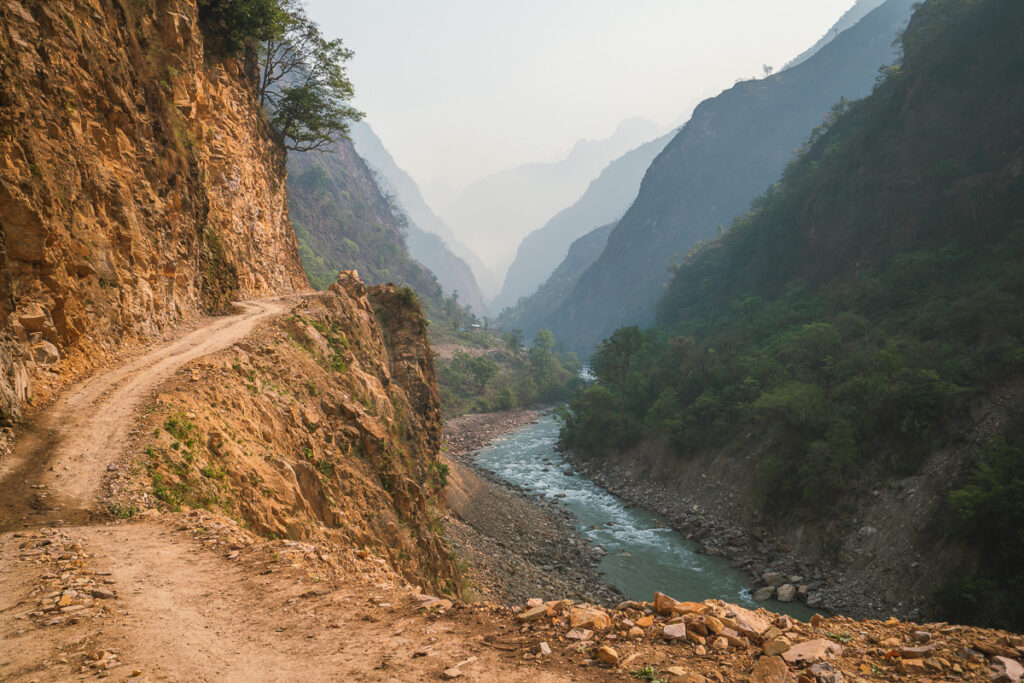
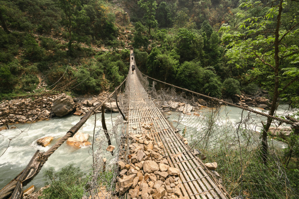
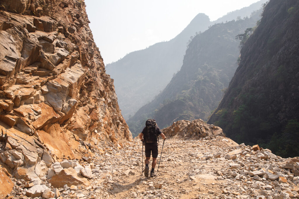
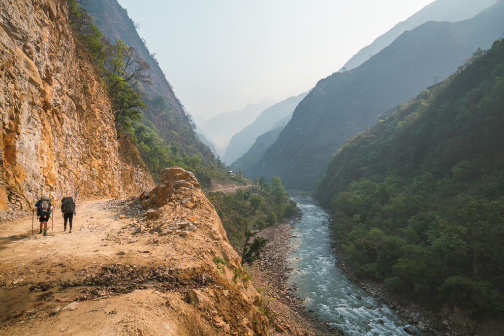
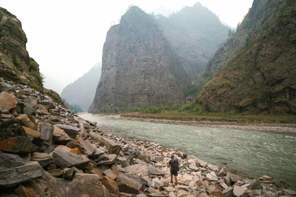
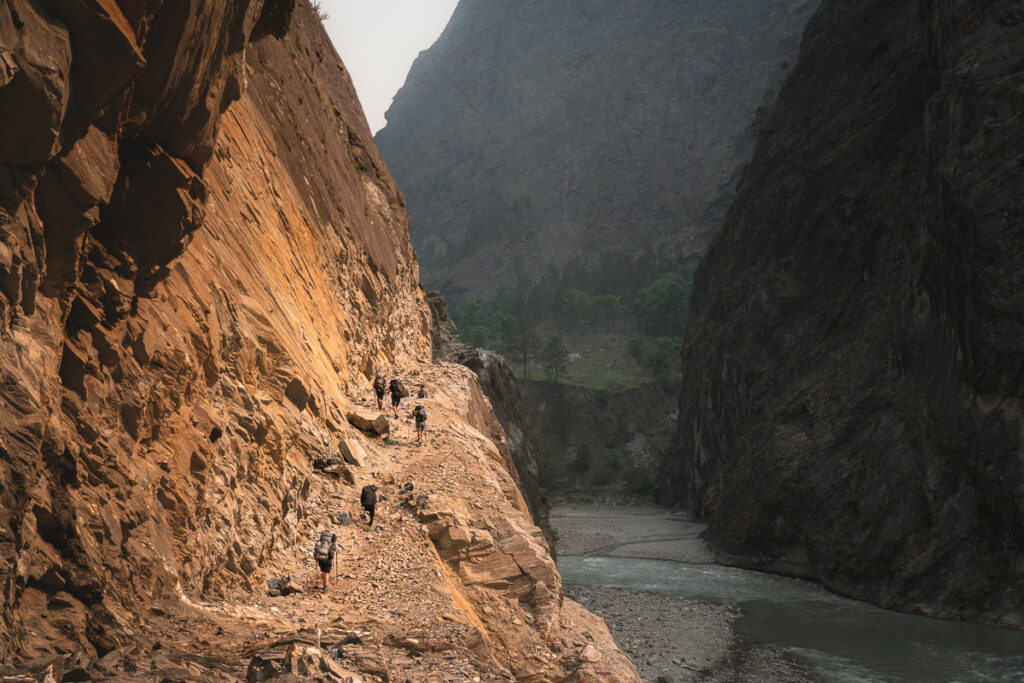
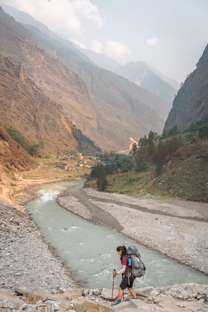
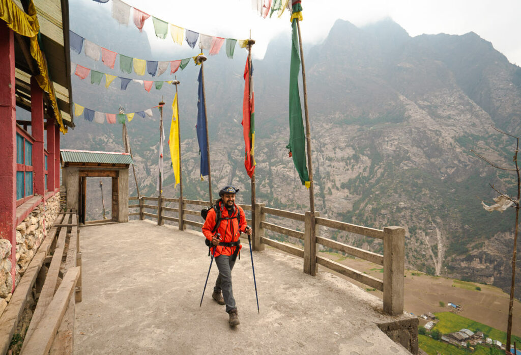
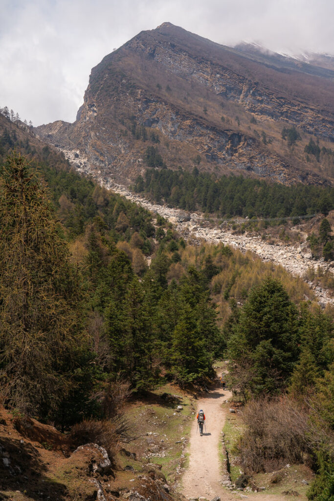
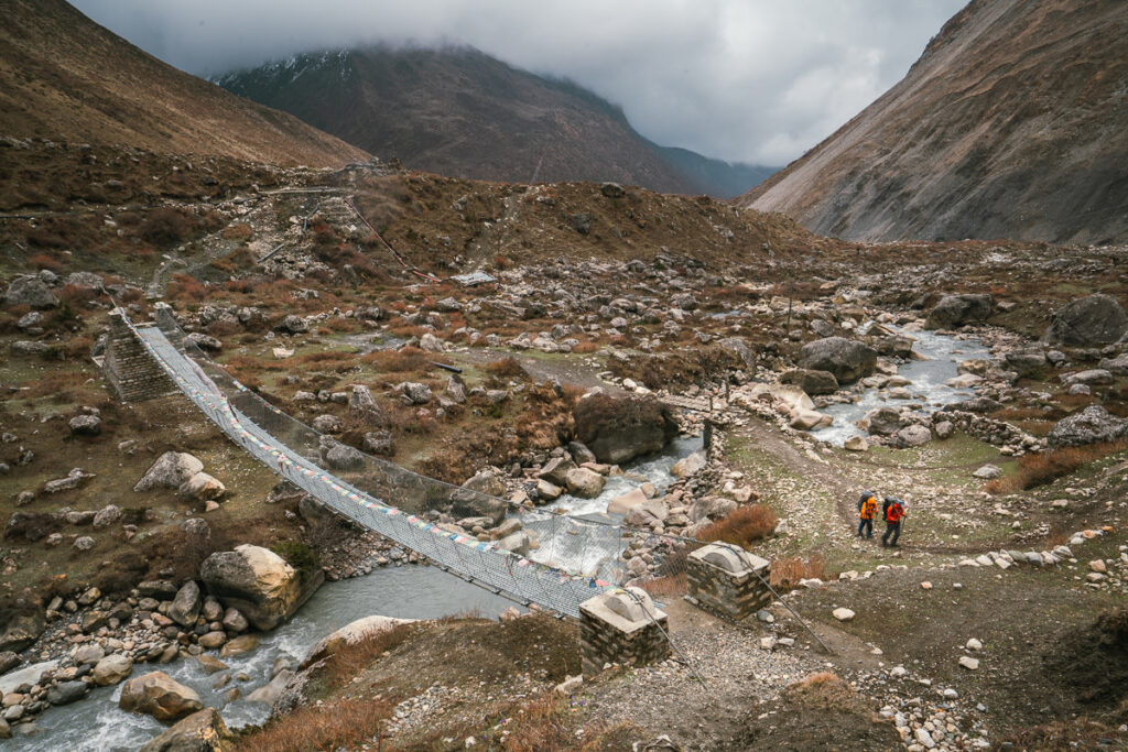
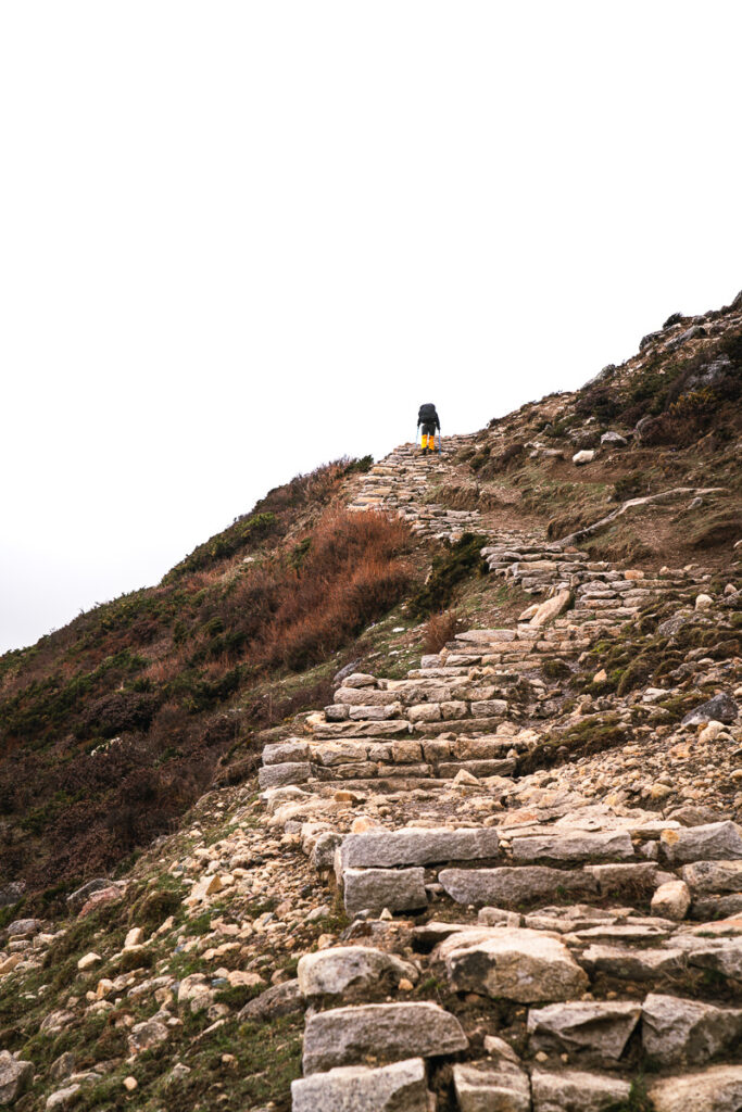
The first day of the trek begins in the small town of Machhakholagaon. You will quickly find your place alongside the Budhi Gandaki River, which follows the gorge. The trail is a dusty road blasted into the cliffside for the most part although there are a few narrow sections including a number of river crossings (no wet feet) and suspension bridges. Expect to be exposed to the sun with little tree cover and be greeted by some steep staircases that will be a shock to the legs on the first day of trekking.
Day 1 Highlights:
- Setting off out of the town in golden light. Felt lucky to be here and excited for what was to come. With little idea of the landscapes in store, it was a truly adventurous atmosphere surrounding our group.
- Following the raging river, all day provided some stunning scenes. Around each turn and beyond each set of stairs we found a beautiful view. Mountains high our necks hurt towered above us on either side, with the river winding its way through like a serpent.
- On a very hot day, the Coca-Cola at our lunch break really hit the spot. Temperatures stung the skin as we battled through 25km and 1500m of incline underneath a piercing sun.
Day 2, Jagat (1,330m) to Deng (1880m) – Distance: 21km, Incline 1636m
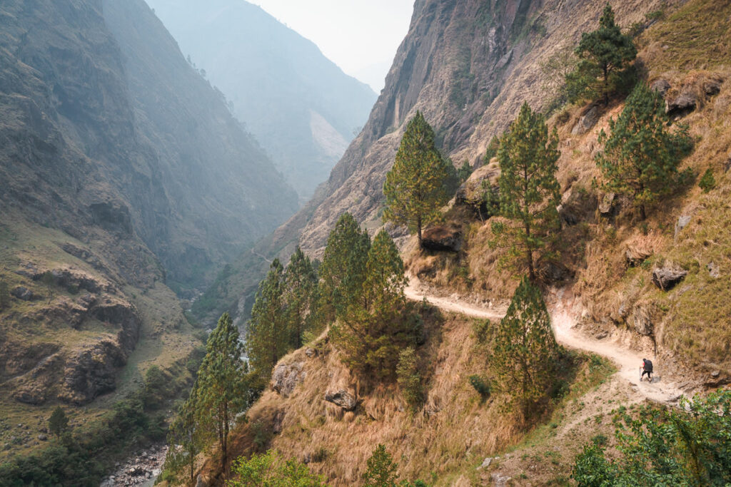
We woke a little bit sore and tired as our bodies adjusted to life on the trekking route. From Jagat, the trail wound through sub-tropical forests, alongside small rivers and quiet villages where we often stopped for a cup of tea.
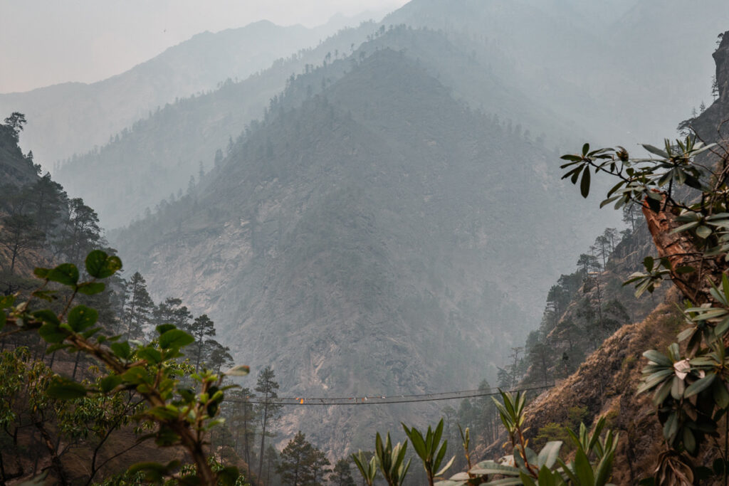
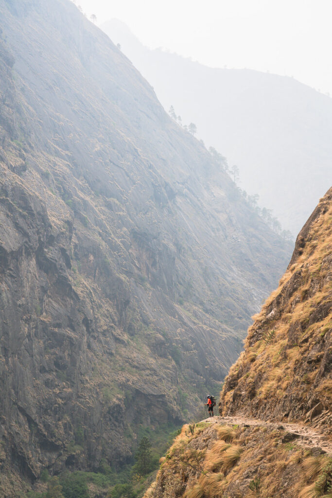
The valley opens up in the early stages of the trail, which reaches Ghatta Khola river. One of the interesting parts about the route today is the very long suspension bridge in Philim, which is a large Gurung village. Later in the day, the route passes through a wild gorge as you criss-cross the river on suspension bridges before passing through the bamboo forests to the Deng Khola river. After crossing the river, you’ll reach the tiny village of Deng.
Day 2 Highlights:
- The layers of mountains were sometimes five or six deep as I began to wonder how we could be so high, yet so far below these peaks.
- Reaching camp today just before sunset was a great feeling. Back-to-back days of 20Km+ day with 1500m of climb means I surely deserved a Gorkha beer!
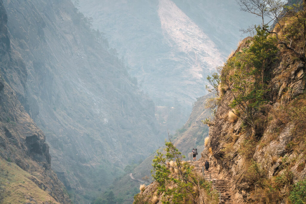
- The suspension bridges are always fun and today we crossed a couple of very high passes. There’s always an element of risk and excitement with these suspension bridges as they’re tattered with holes and battered by rockfall.

Day 3, Deng (1880m) to Prok (2275) – Distance: 14km, 1082m
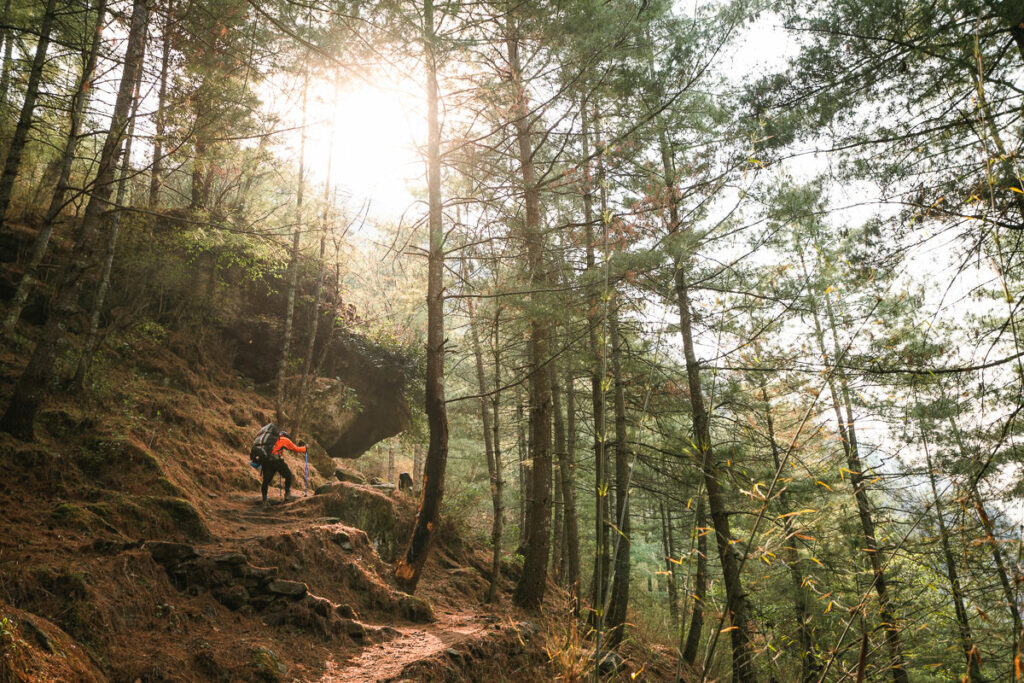
After breakfast in Deng, the trail takes you to one of the most important and culturally significant sections of the trek. Firstly, you will cross the Budhi Gandaki river and make the climb up to the bridge, where you’ll ascend further to join a trail from Bhi. The trail then leads you through the lush forests, alpine vegetation, and small villages. This is the first time the major peaks will start to appear in the distance.
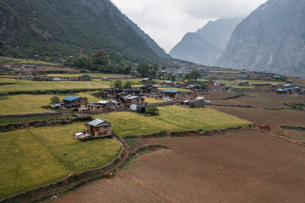
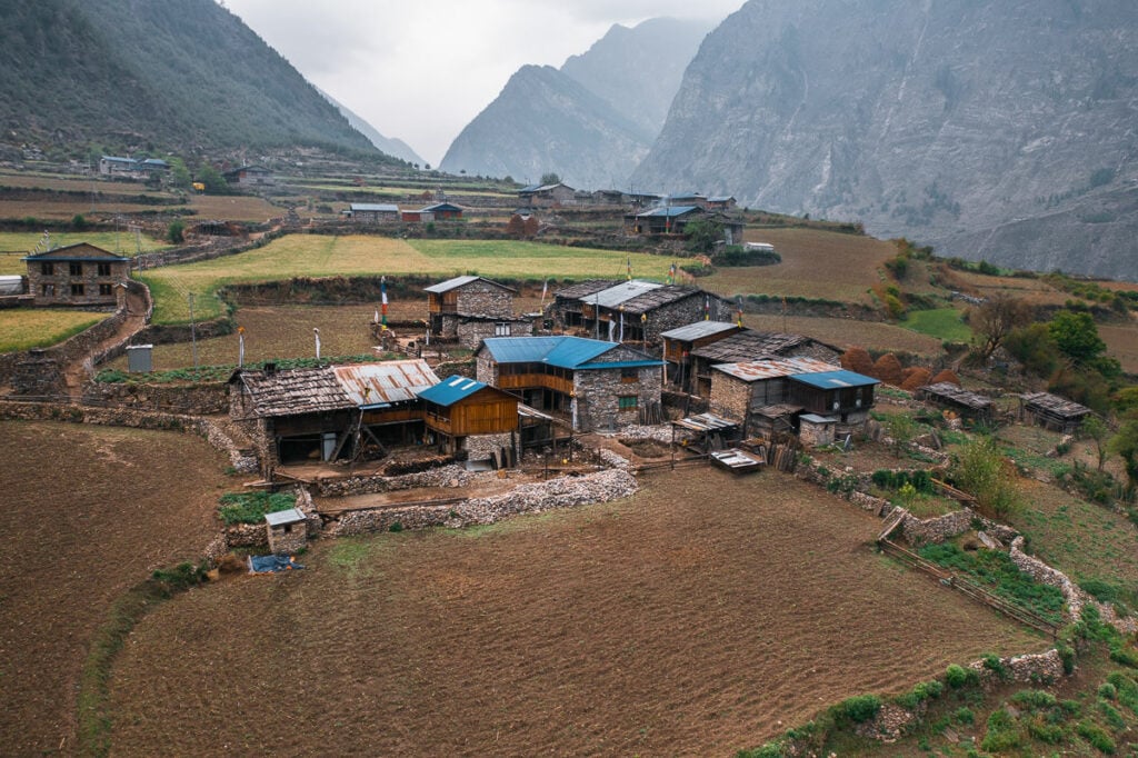
Today is a shorter day and after a final ascent through the forest, you will reach Prok, a Tibetan village situated on a very scenic plateau beneath towering peaks. Green and yellow farming fields create a patchwork display of colors in this traditional town. It’s time to settle in because on this itinerary, we stay in Prok for two nights.
Day 3 Highlights:
- Sitting inside a tiny tea house, precariously perched on a cliff-side when a storm hits. As the rain hits the tin roof and the wind blows wildly all I can think about is how isolated people in this region are and how inhospitable the weather can be. That gets more and more apparent the higher we climb.
- A few stunning suspension bridges today with a lush green forest below contrast against the cool hues of the glacial river. Nepal is truly beautiful.
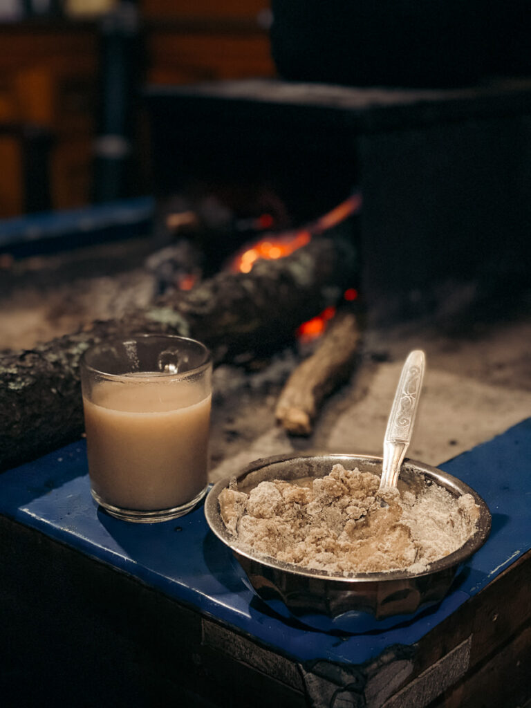
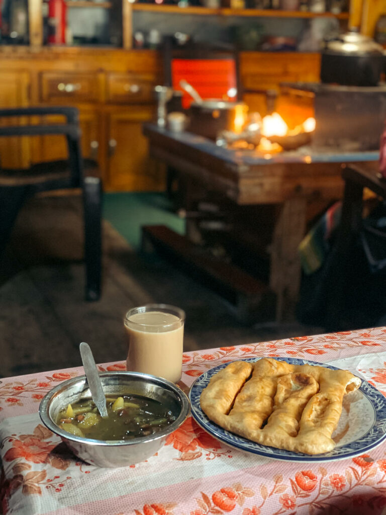
- We reached our guest house for the night in Prok, which is a very small village. I sat in the kitchen loft with the 81-year-old grandmother and the wife for Tibetan tea as we watched the Daal baht process. The kitchen and entire house were traditional Tibetan style. The grandmother spun her prayer wheels and through our guide’s translation told us she feels Tibetan, not Nepali. Having two of the guys on the trek translate gave us unique insight into the experiences and life of a Tibetan from the pre-Chinese occupation era.
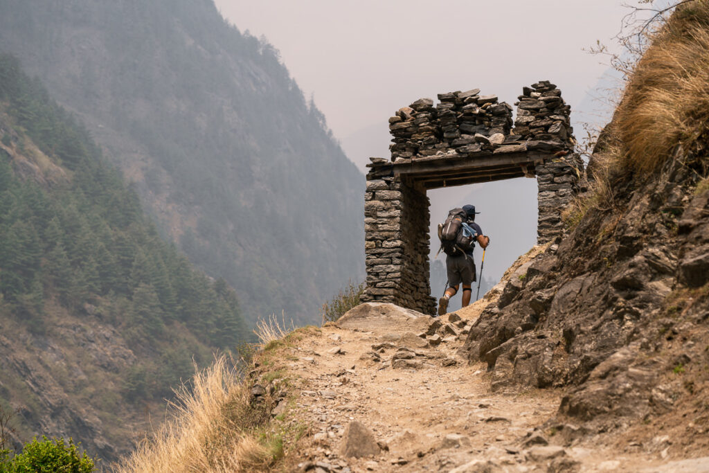
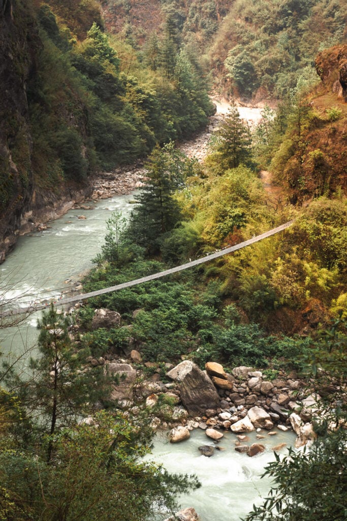
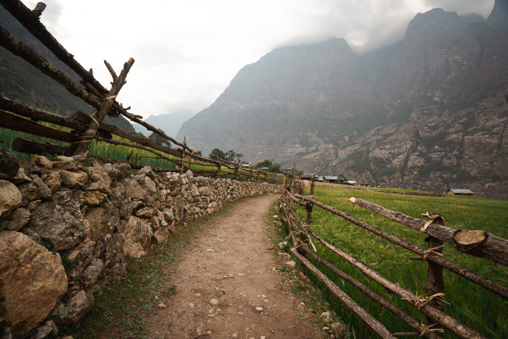
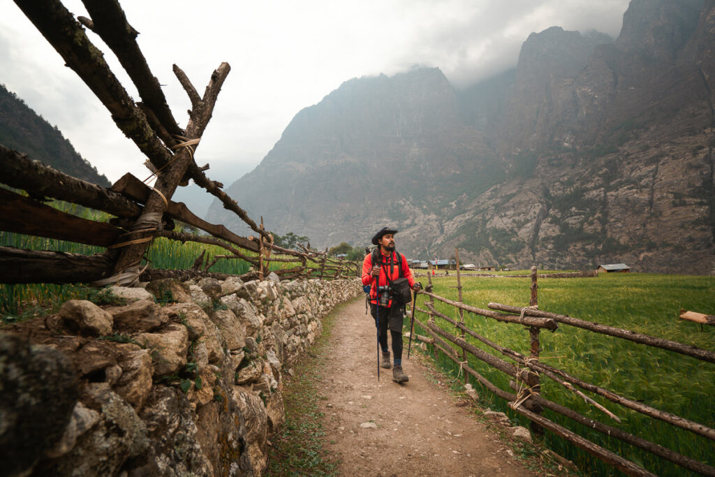

Day 4, Acclimatisation day: Prok day-trip to Kal Tal Lake (4100m) – Distance: 13km, Incline 1600m
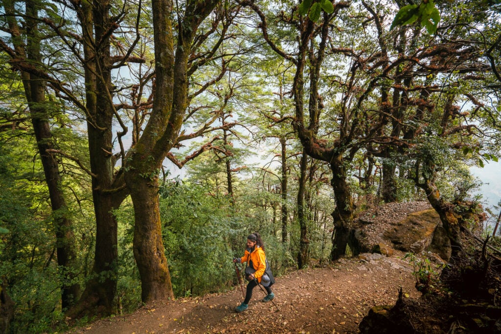
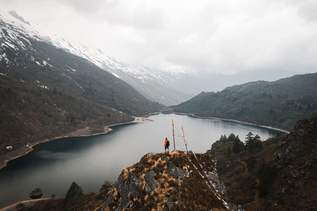
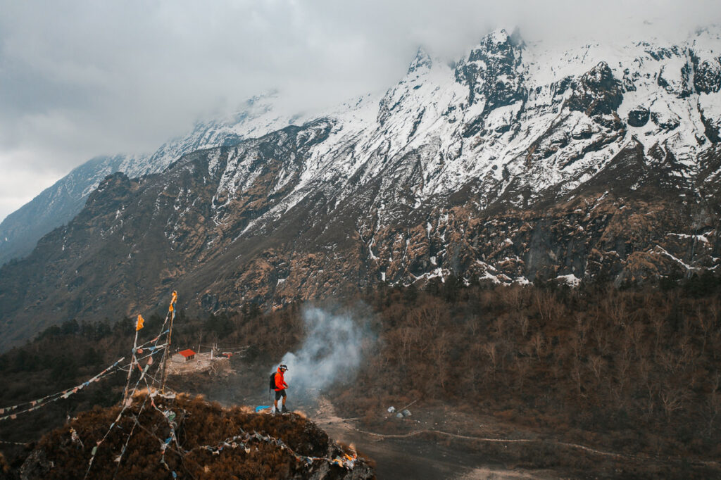
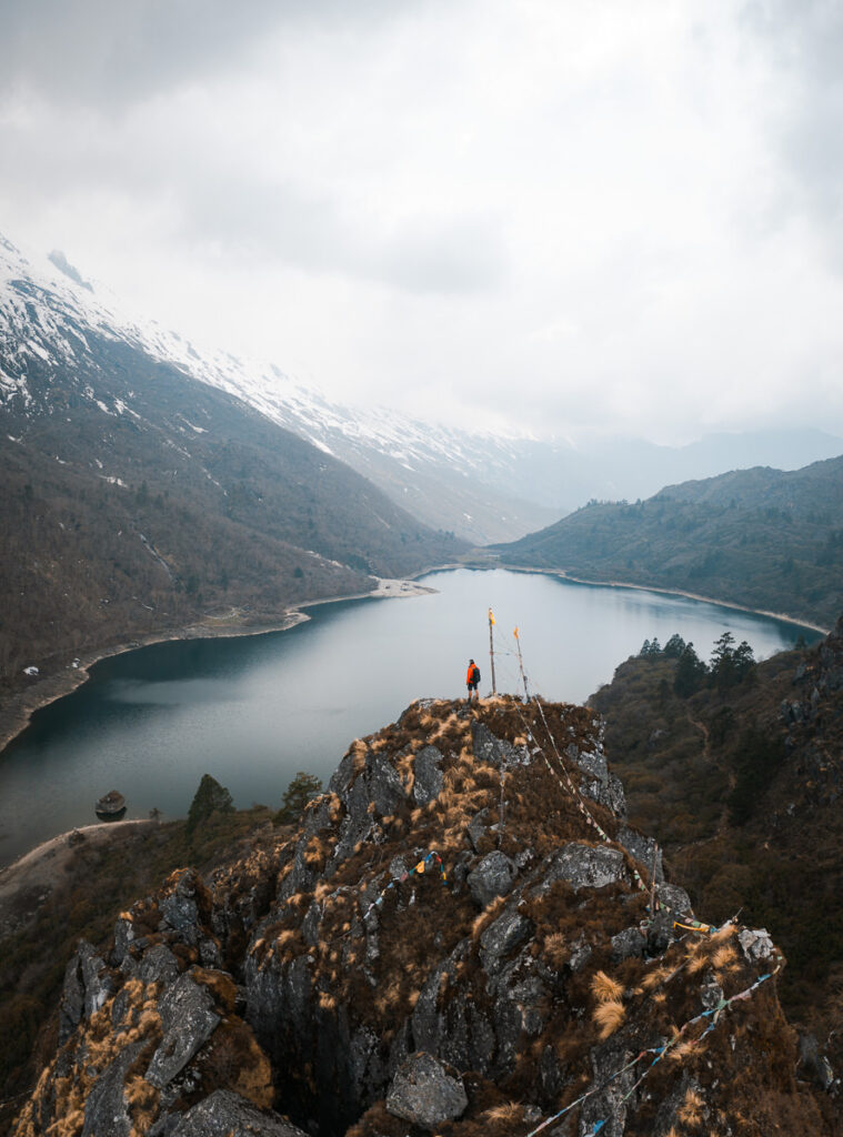
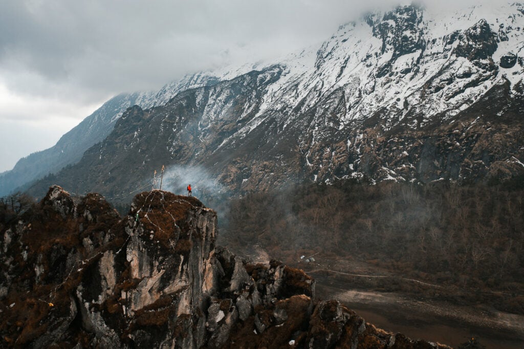
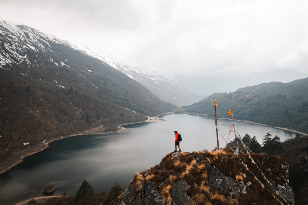
Today was a pretty heavy day with a very steep climb up to Kal Tal lake. The route is basically straight up and winds along switchbacks through the forest. Along the way, we passed a beautiful monastery and several meditation huts and accommodations scattered throughout.
The total climb was more than 1500m over less than seven kilometers so it is very steep and coming down gave the legs a huge workout. Today capped off over 6000m of an incline in just four days so it was a pretty aggressive start to the trek.
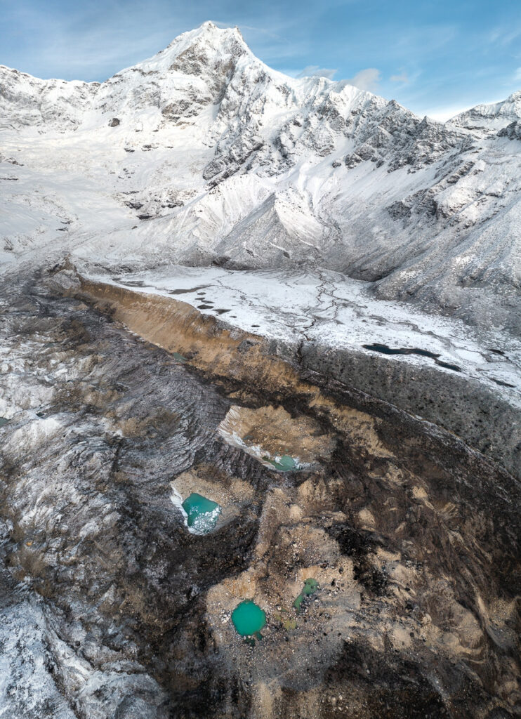
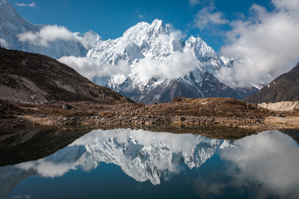
On a sunny day, this alpine lake is spectacular. Crystal clear water and towering, snowy mountain peaks provide an epic backdrop. We were a bit unlucky with the weather as it was grey and gloomy but still spectacular.
Day 5, Prok (2275m) to Namrung (2661m), Distance: 10km, Incline 660m
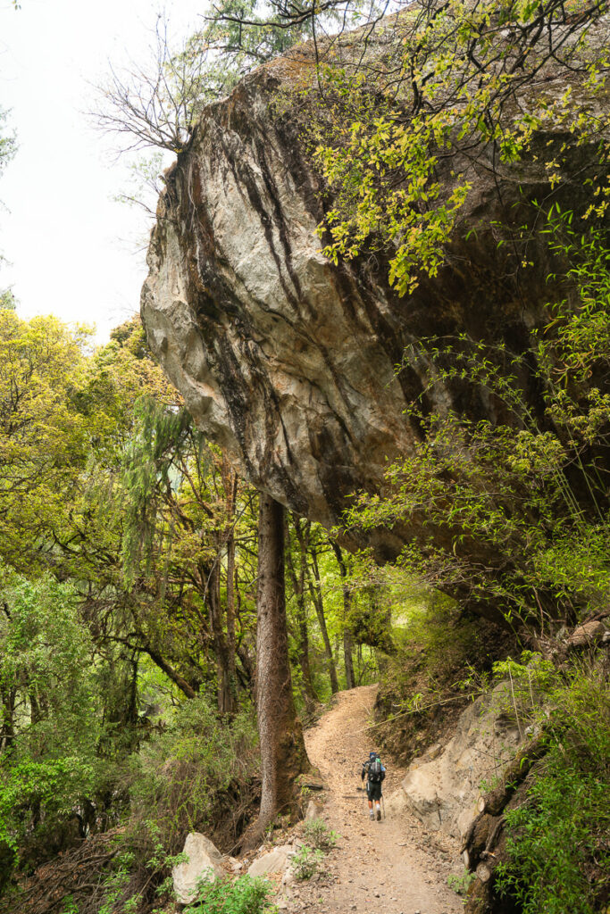
Finally, an easy day arrived and we all needed it badly. After 6000m of incline and 80km on the first four days of the trek in some pretty heavy sun, we were spent. Today seemed like a stroll in the park as we meandered our way to Namrung, taking just a few hours.
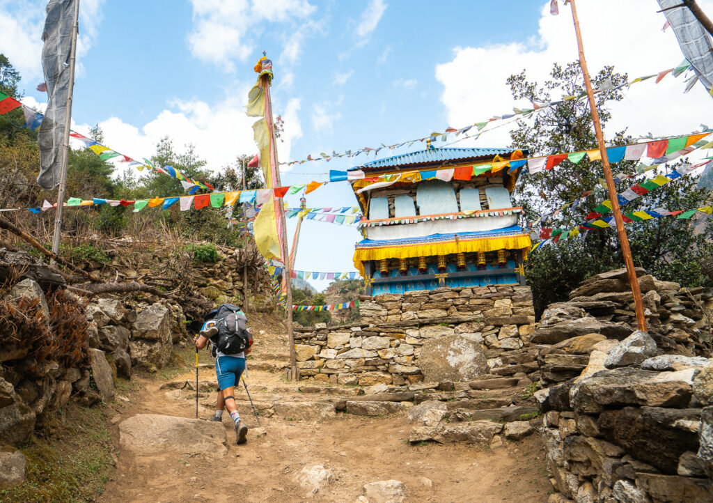
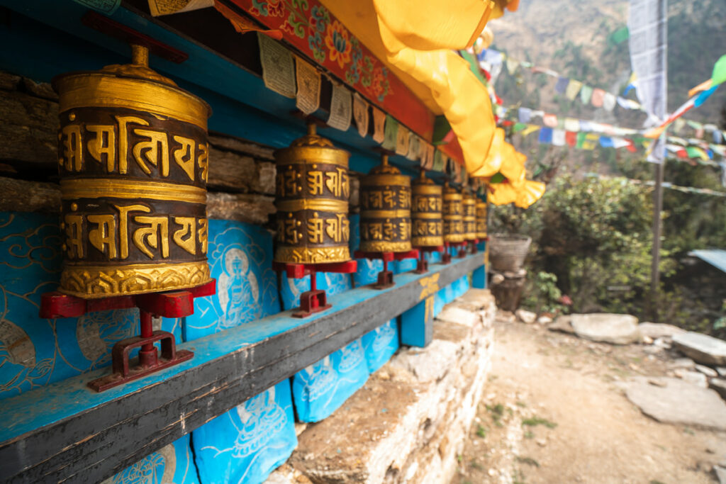
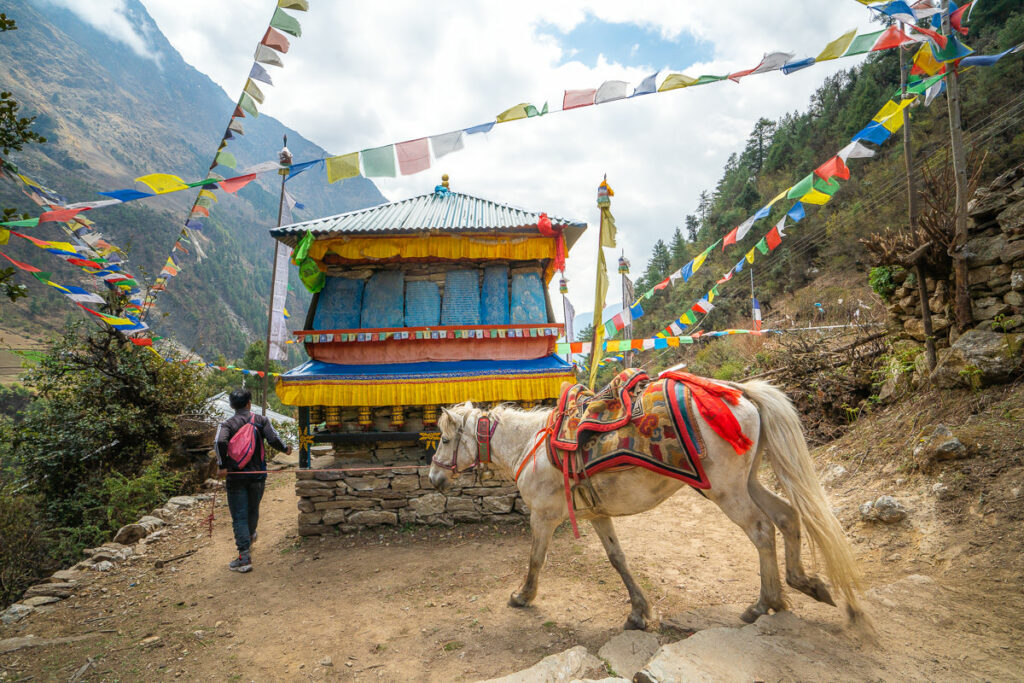
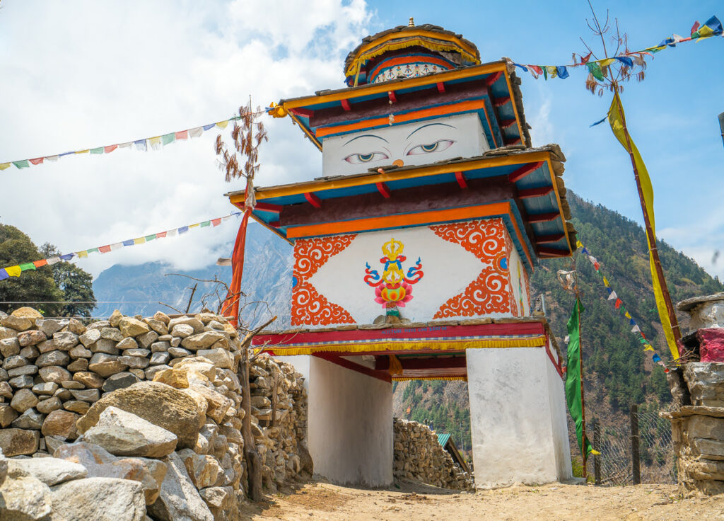
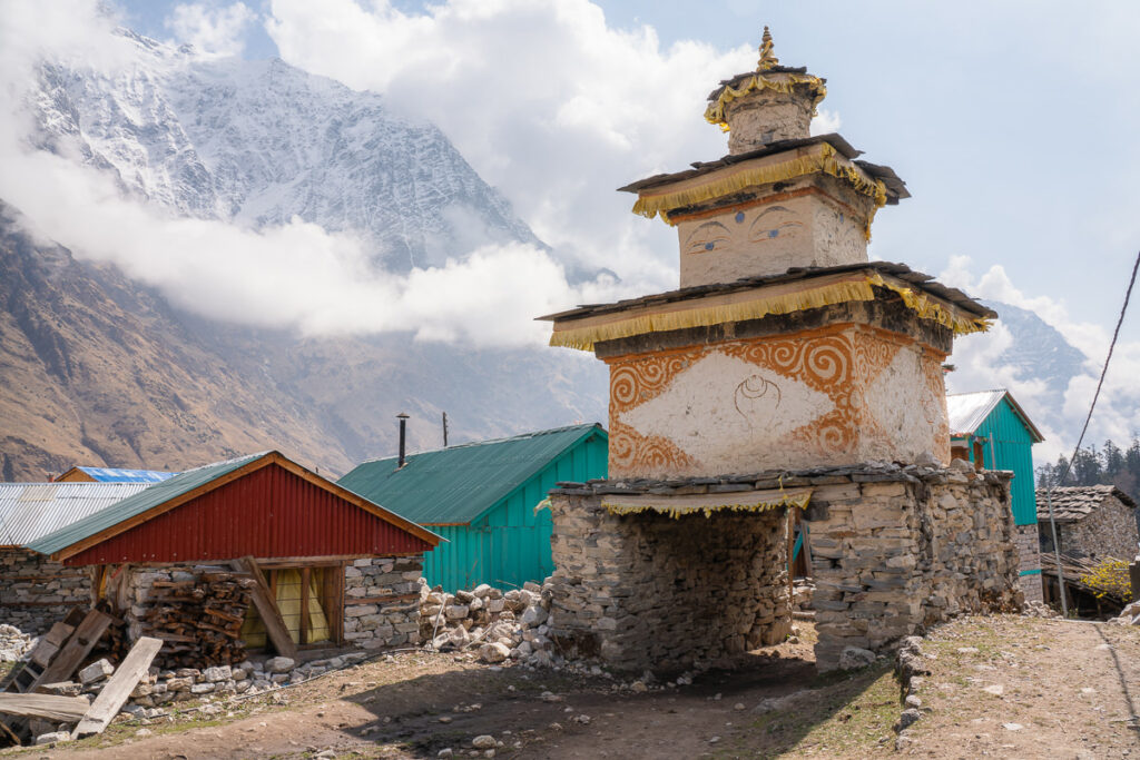
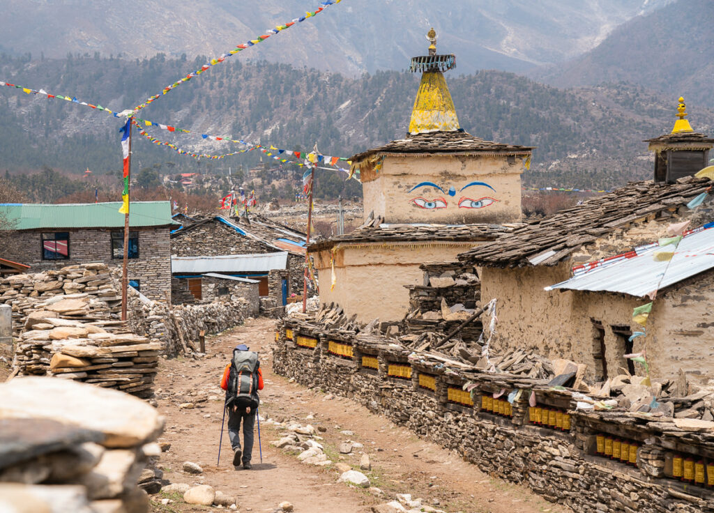
The path today is in the phase of switching out of the sub-tropical forest into the alpine forest so it had a mix of everything. At the entrance to each town, we can now find lots of ancient scripts displayed at the entry path.
Day 5 Highlights:
- A shorter day from Prok to Namrung was just what the doctor ordered so when we rolled into Namrung in the early afternoon, we all breathed a sigh of relief to have time to rest our bodies.
- A steaming hot shower for $2.50 on the fifth day of a trek is always money well spent. Clean, refreshed, and ready to push on.
- We bought a pack of cards for $1 at Namrung and had a few different games rolling throughout the night. It’s fun to enjoy the good vibes amongst this really chill group from Nepal.
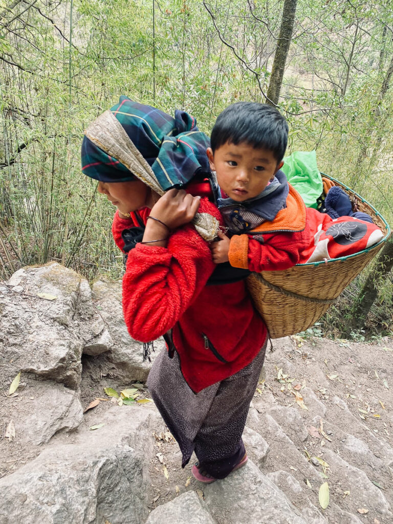
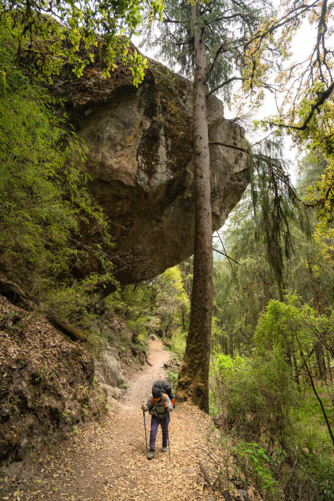
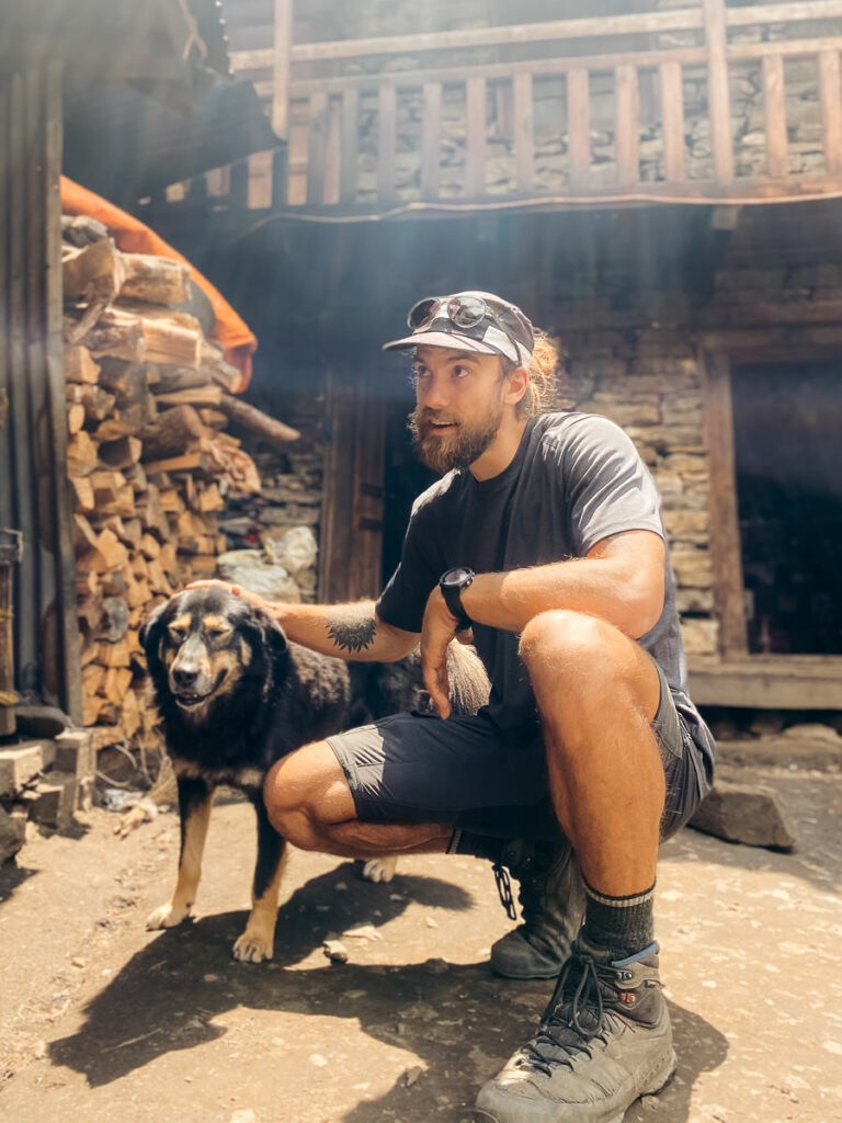
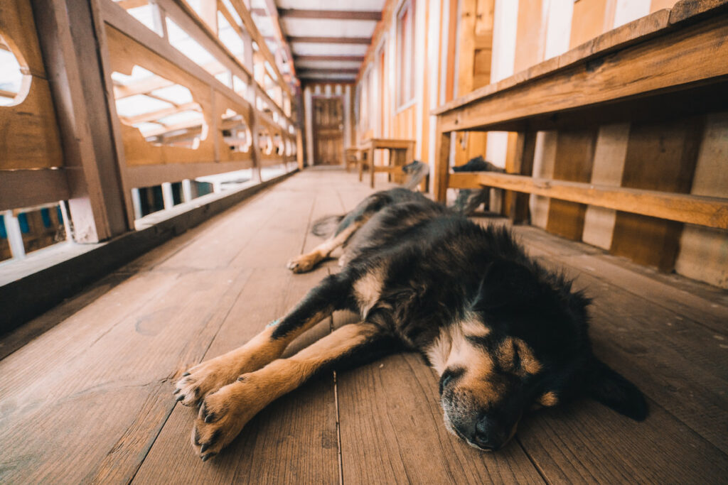
Day 6, Namrung (2661m) to Lho (3200m), Distance: 11km, Incline 900m
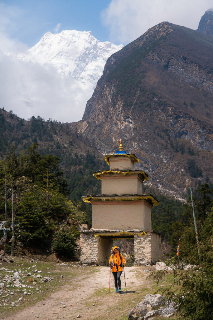
The trek to Lho leads us through wild sections of oak, fir, and rhododendron forests throughout the climb higher up into the valley. The air is beginning to thin for the first time so the pace is slightly slower today but with just 11km to cover, it was a touristic day with some nice cultural sites and stupas throughout the route.
Day 6 Highlights
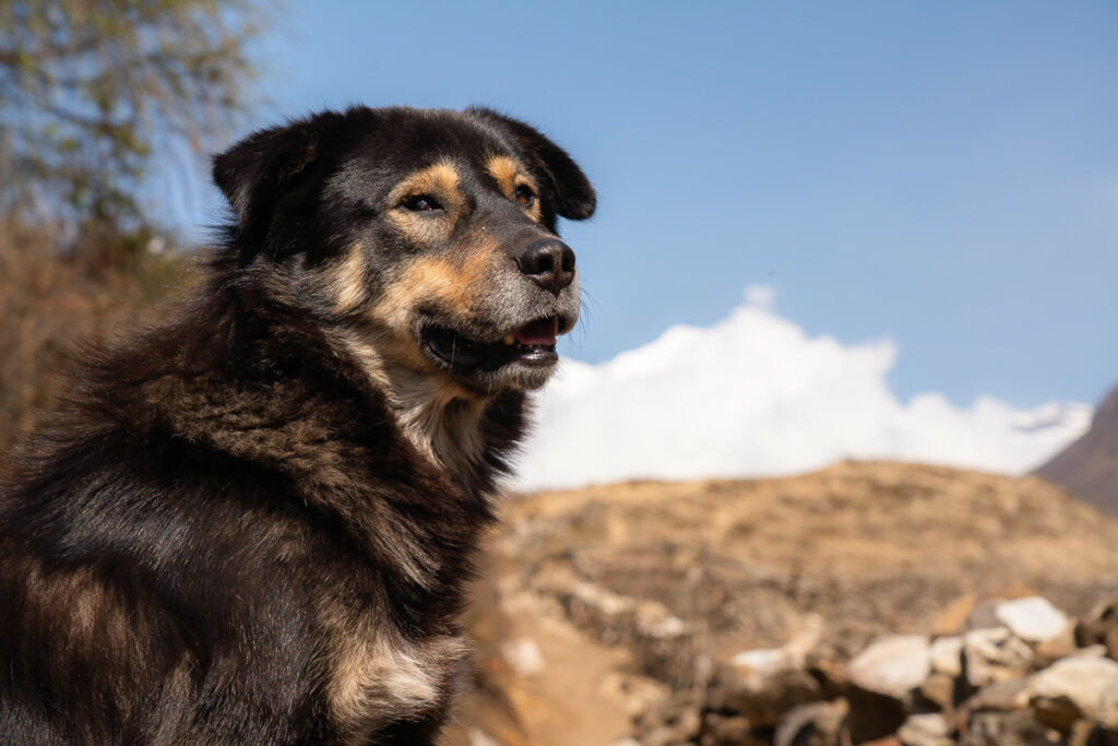
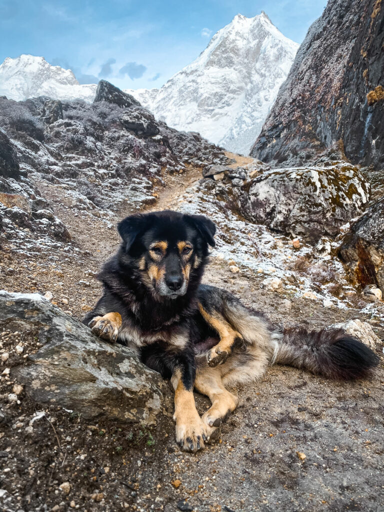
- Larkye our Manaslu dog has officially joined us. Despite being asleep as we headed off from Namrung, he quickly caught up to us and has hardly left my side since.
- Lunchtime was at a small village with an epic view across the fields and up towards towering hills. Spicy noodles out in the sunshine had us feeling incredibly relaxed and on the recovery after the first four savage days of the trek.
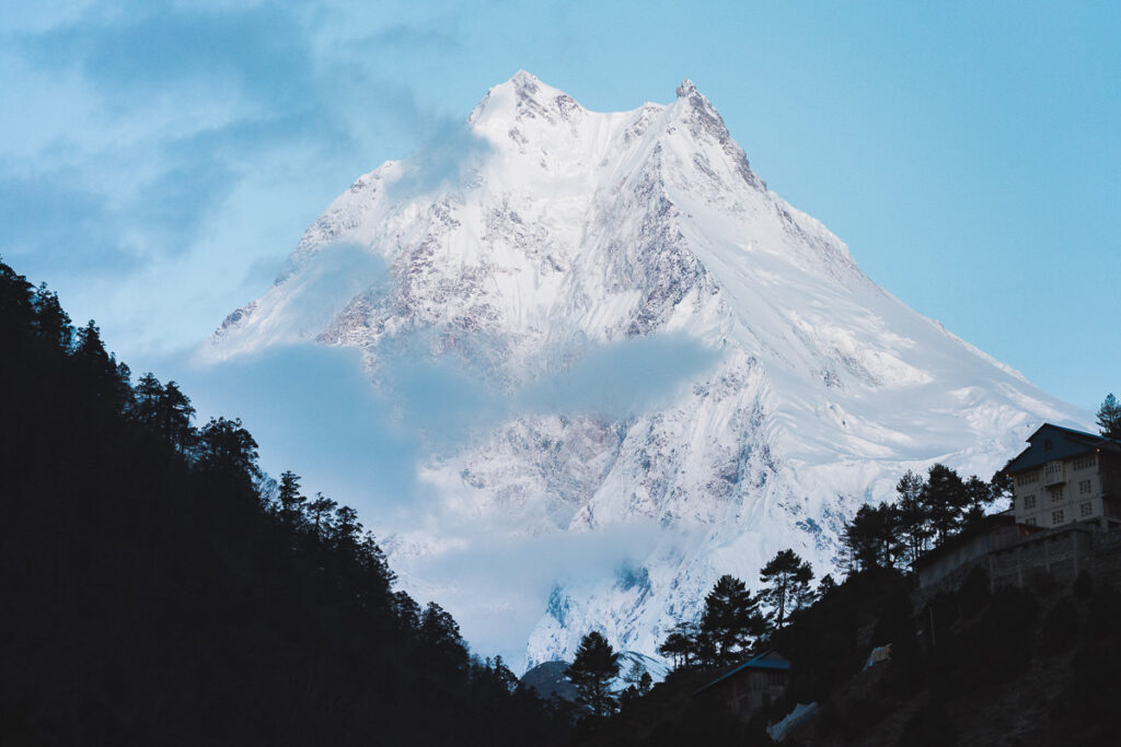
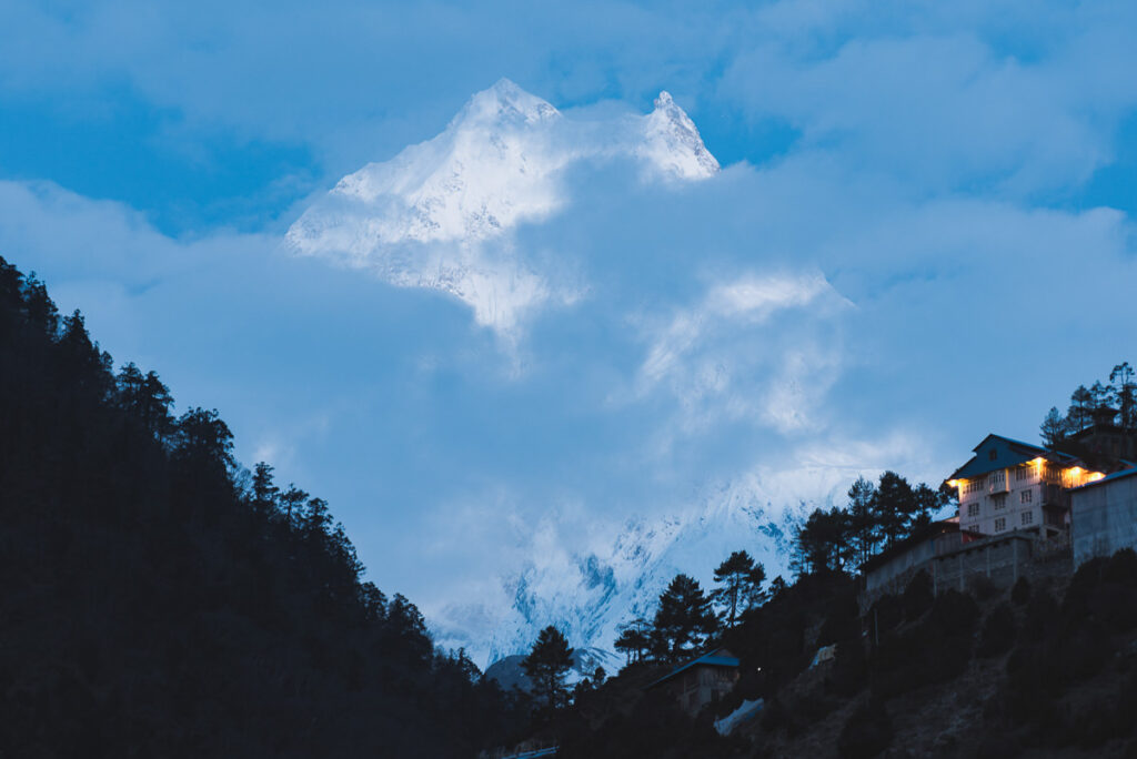
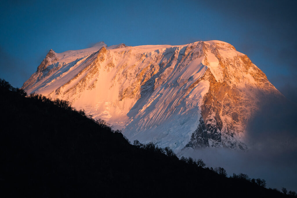
- Sunset from Lho was very grey and cloudy but in the midst of blue hour, Manaslu appeared. It was the first time we’d all laid eyes on the 8000er and it was a pretty majestic moment.
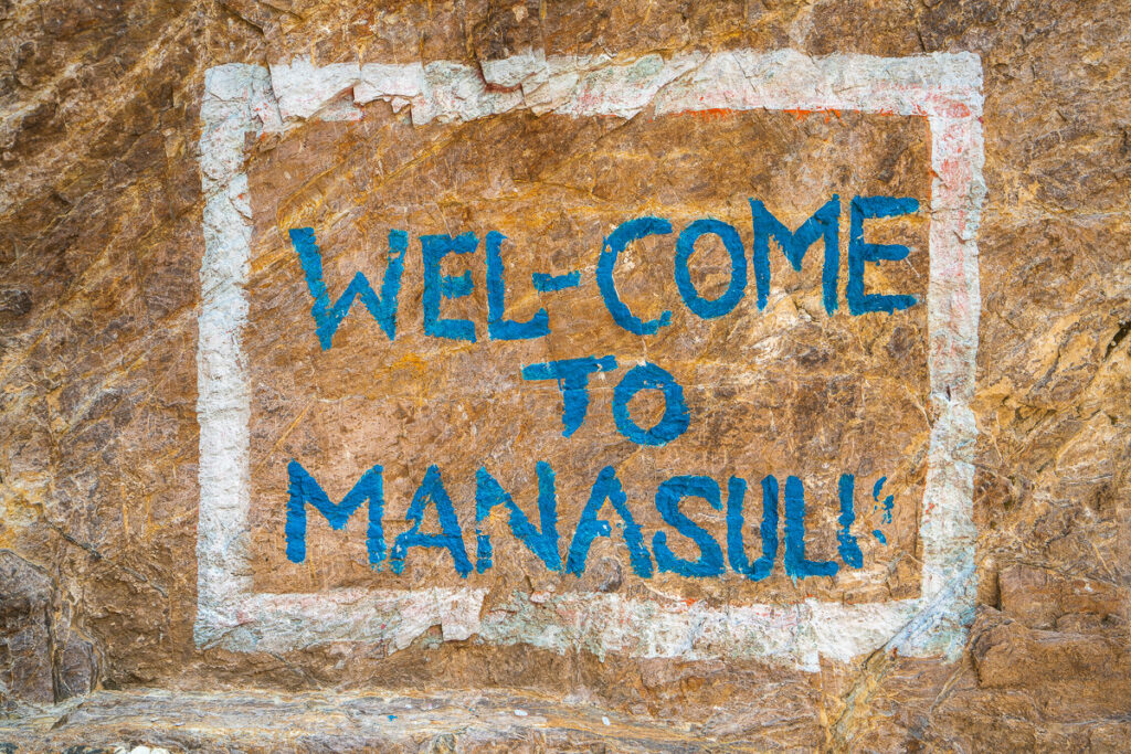
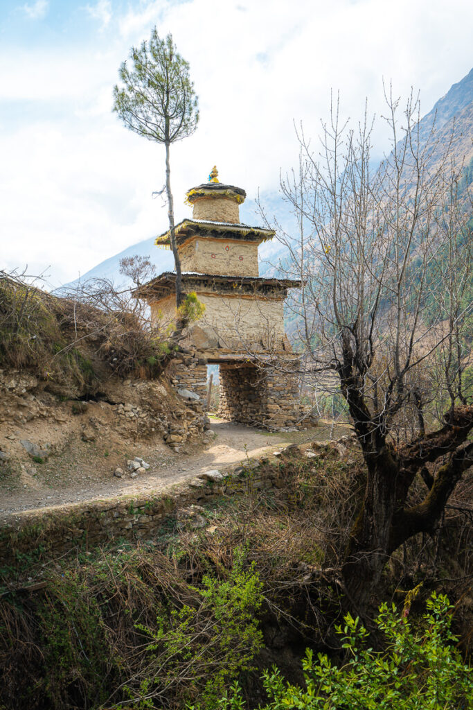
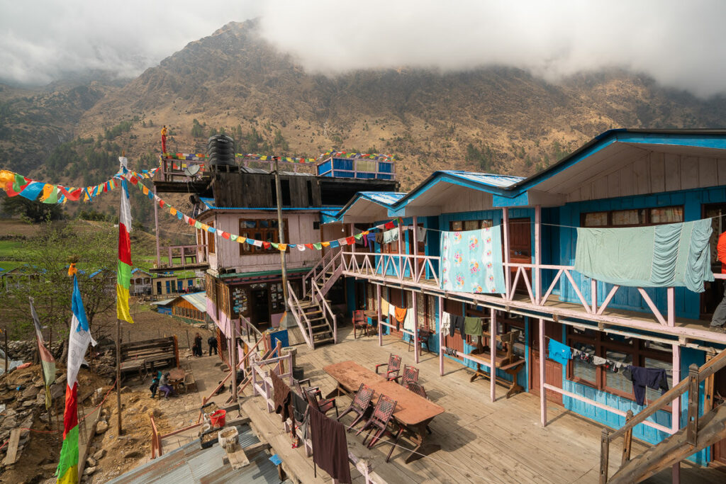

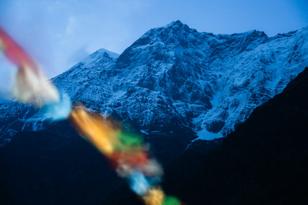
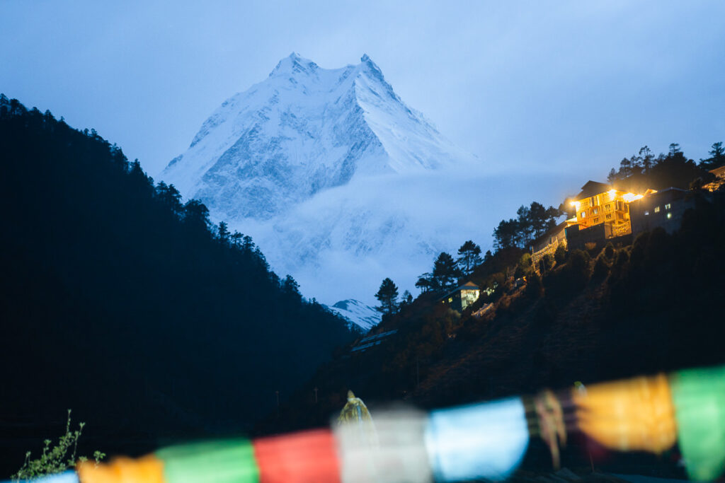
Day 7, Lho (3200m) to Samagaon (3500m), Distance 8km, Incline 600m
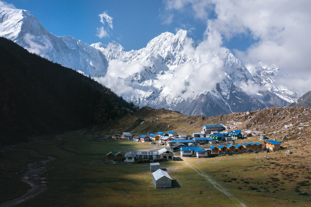
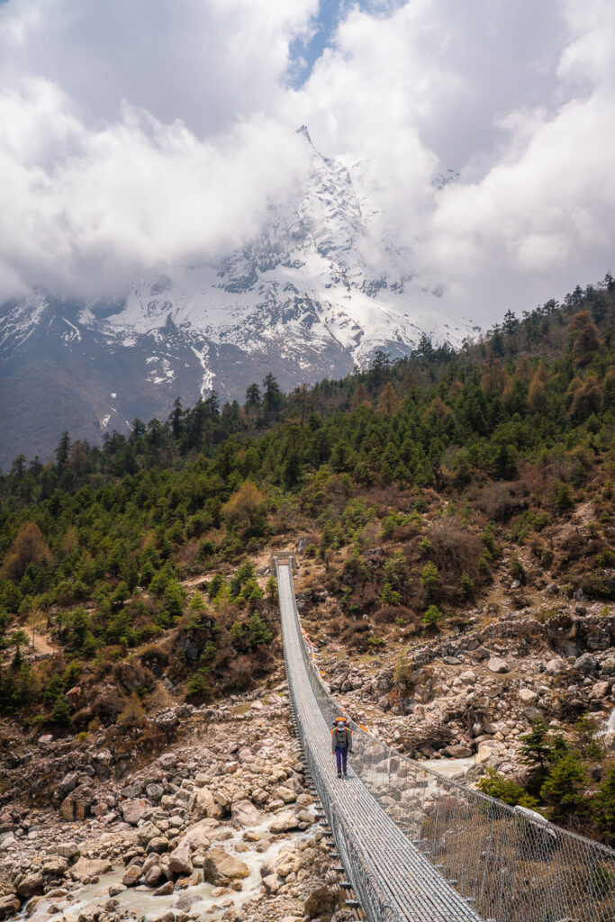
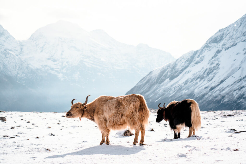
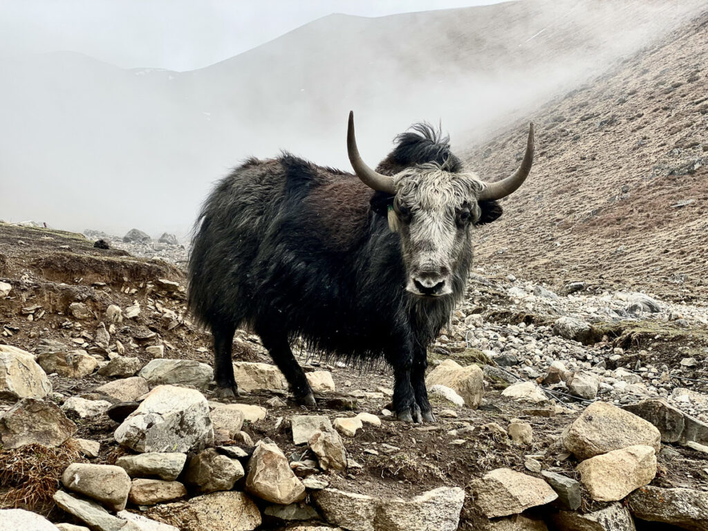
Today the climb continues up the valley and enters the high alpine pastures. Expect to see lots of Yaks grazing across the expansive hills and steep mountainside. One of the best suspension bridges of the trip with a huge mountain backdrop was the highlight of the day.
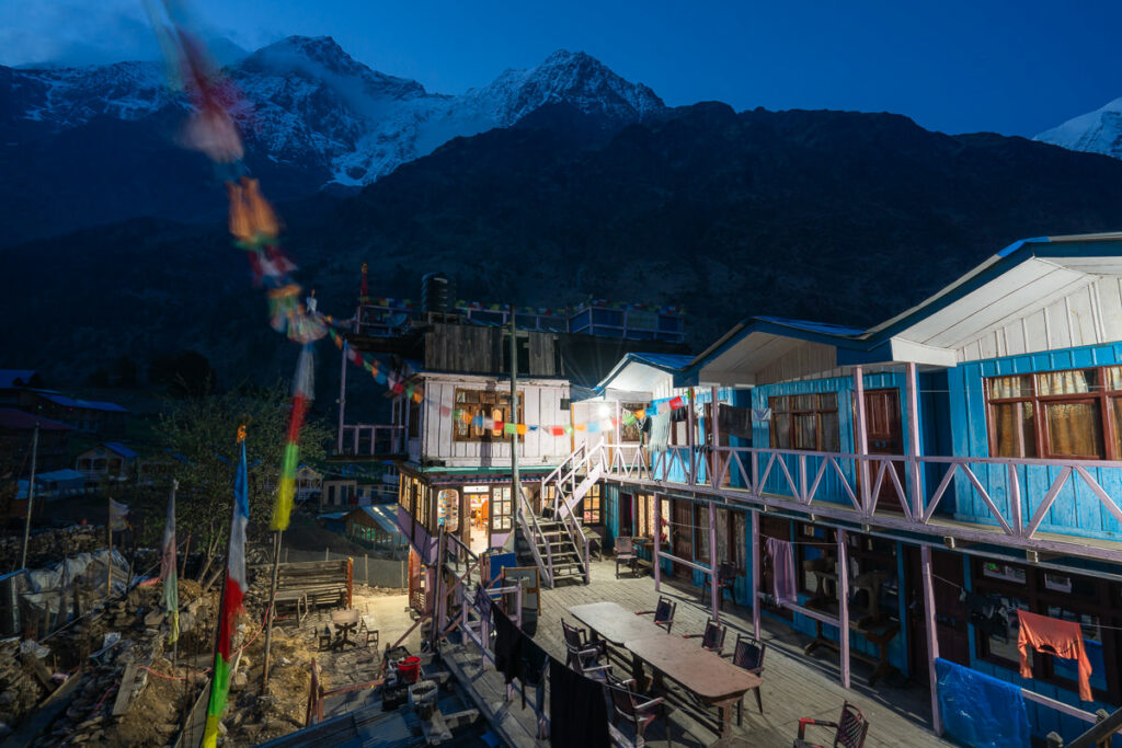
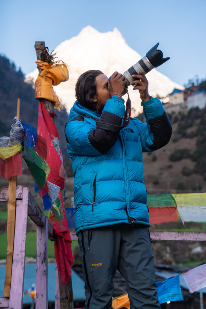
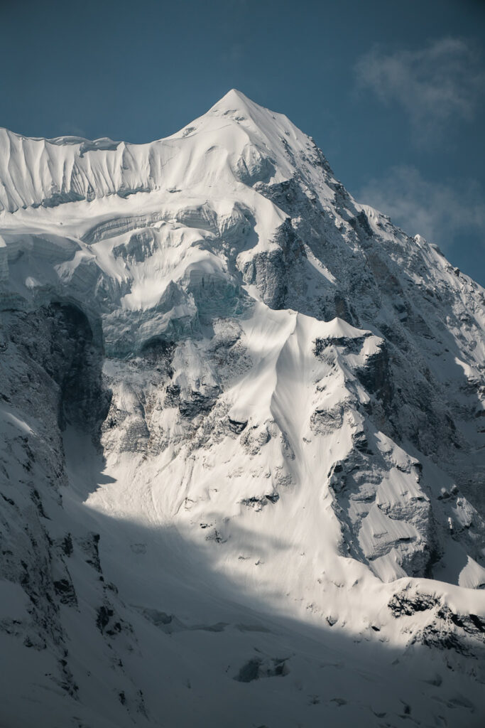
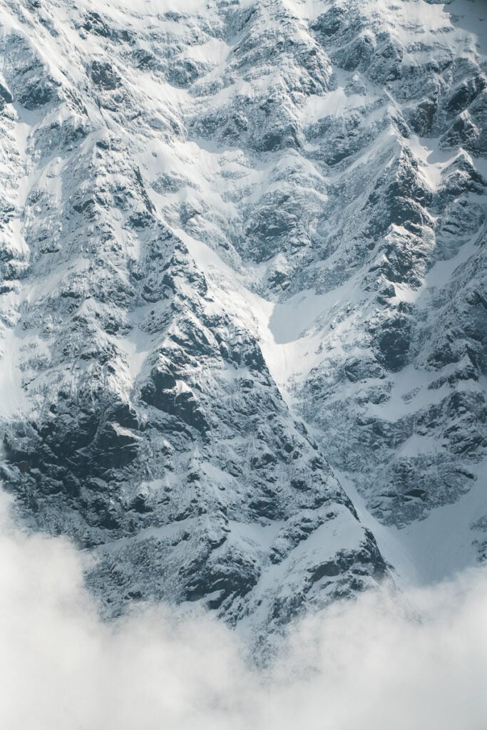
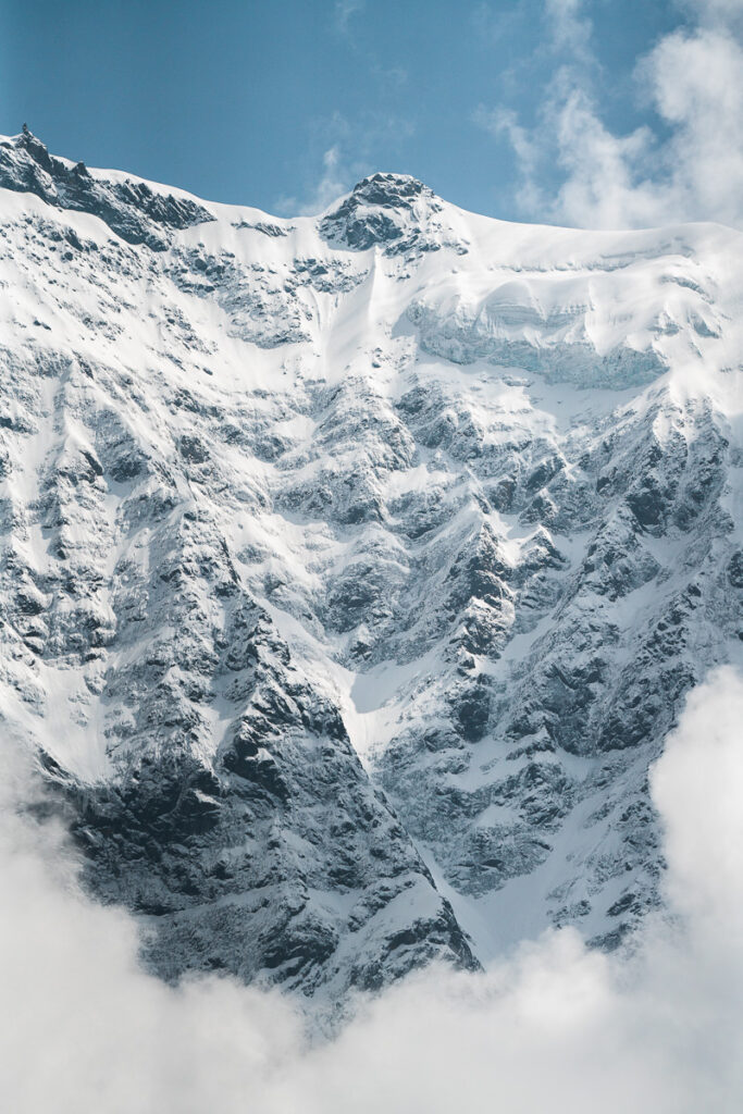
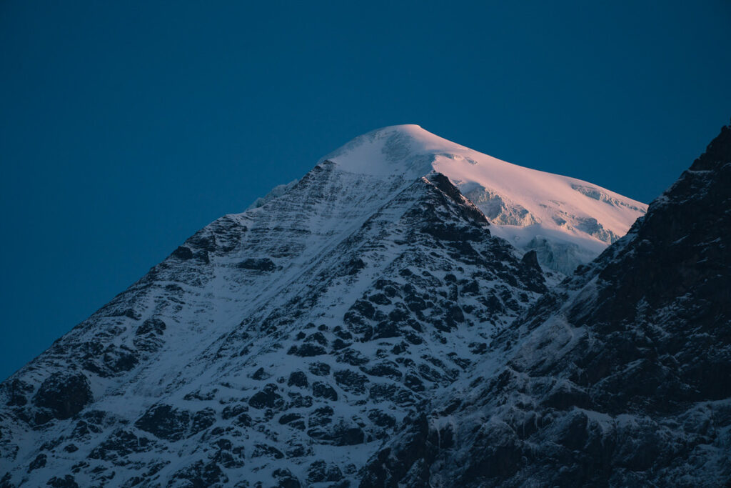
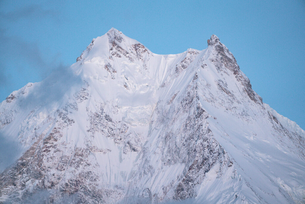
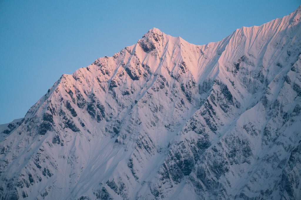
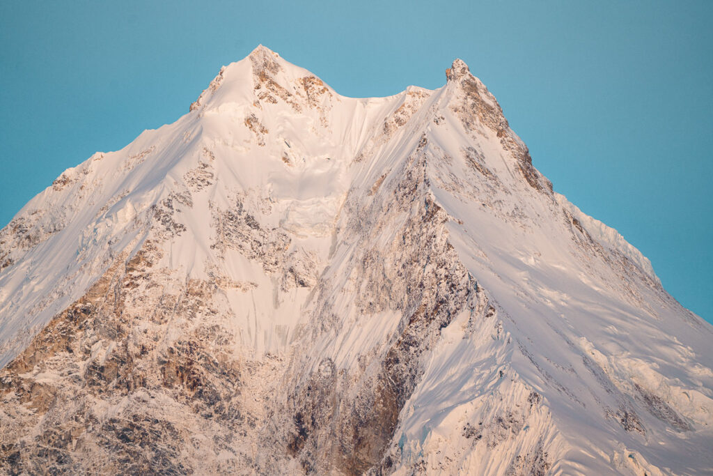
At our tea break, we had views of snow peaks in all directions and that’s where I shot most of the photos you can see below. From our lodge, we will have an incredible view directly up at Mount Manaslu that towers over the valley and we would stay here for two nights.
Day 7 Highlights
- A blue hour from the rooftop and an incredible sunrise with views of Manaslu was such a memorable start to the day. I felt like I was in Switzerland. We all had breakfast together on the rooftop and it might just be the most scenic fruit muesli I’ve ever had.
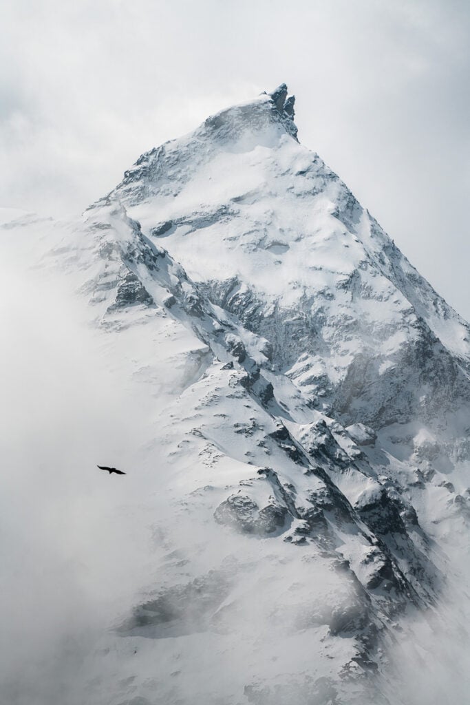
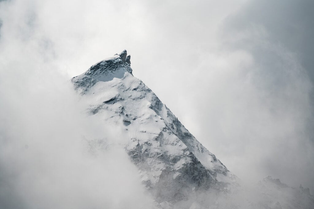
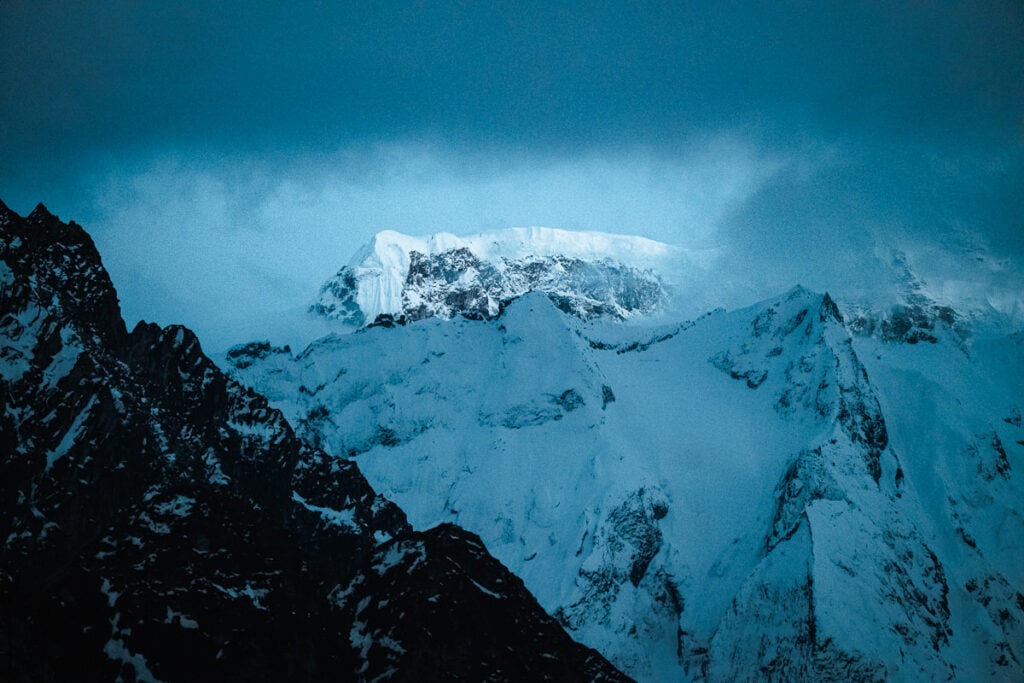
- A tea break on our way to Samaguan gave us the best views yet as the clouds were yet to engulf the surrounding peaks. I ripped out the 100-400mm and got some incredible shots of the snowy ridges as the clouds swept through.
- Our first WiFi of the trip at Samaguan was a great chance to catch up on the real world. We quickly realized nothing much had changed and were grateful to be out in the wilderness of the Himalayas.
Day 8, Acclimatisation day: Day trip to Pungen Gumba (4200m), Distance 17km, Incline: 800m
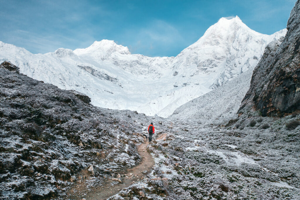
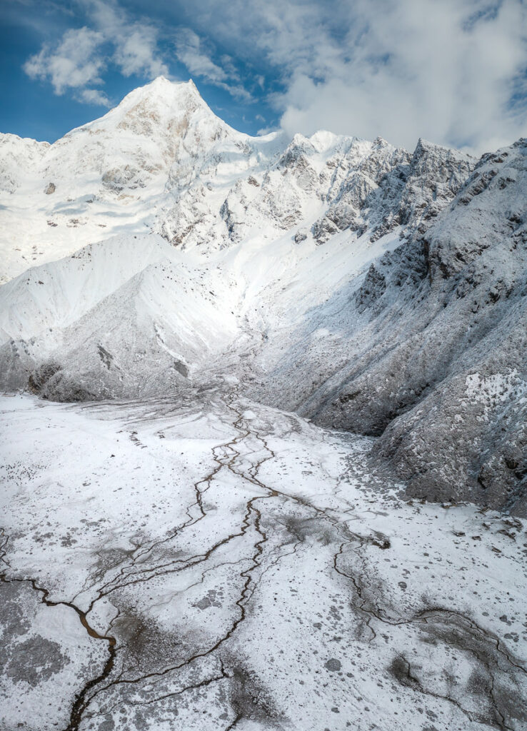
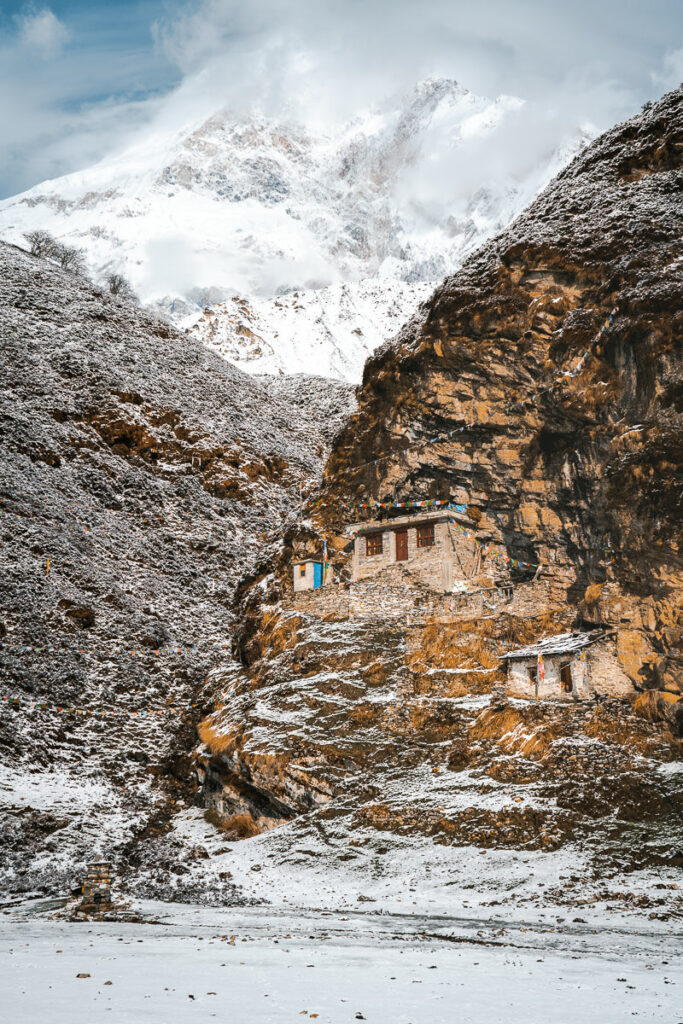
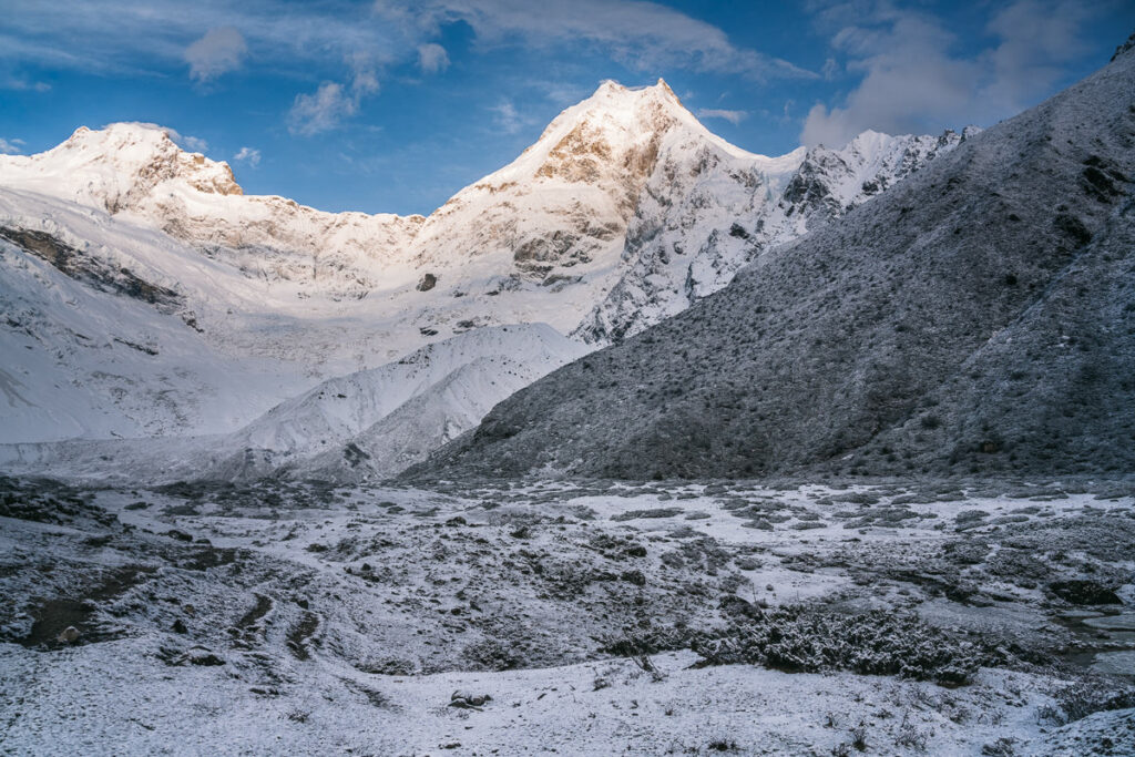
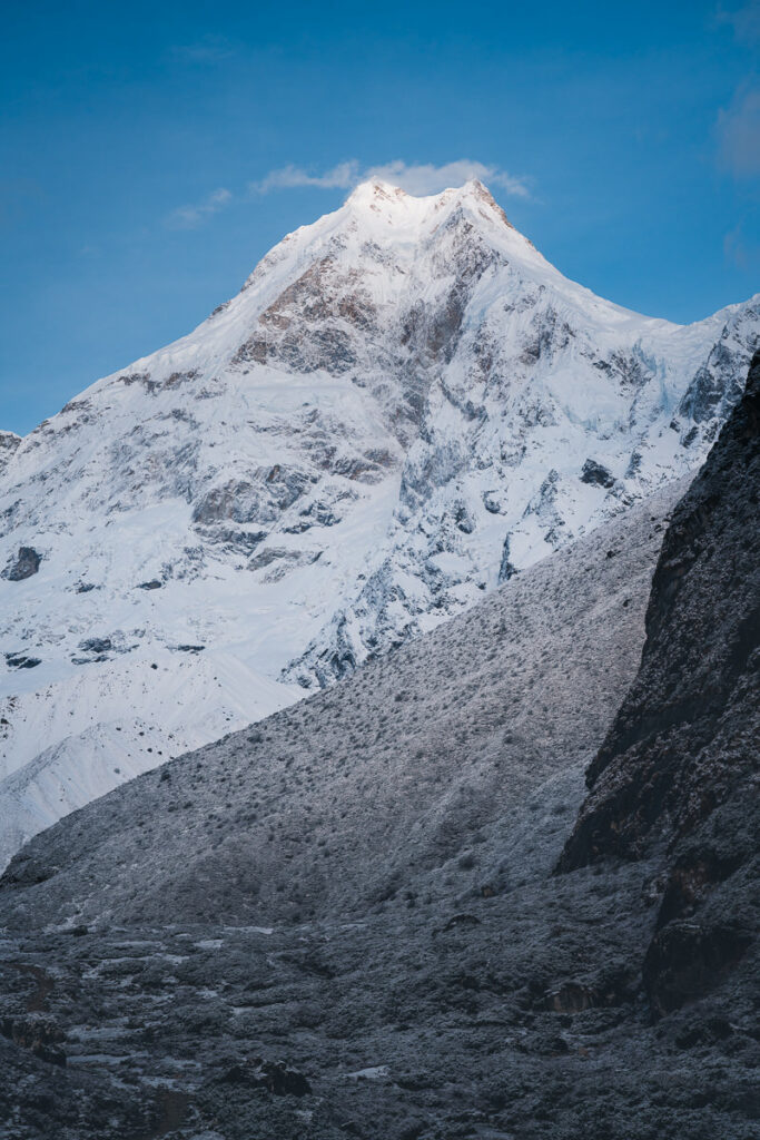
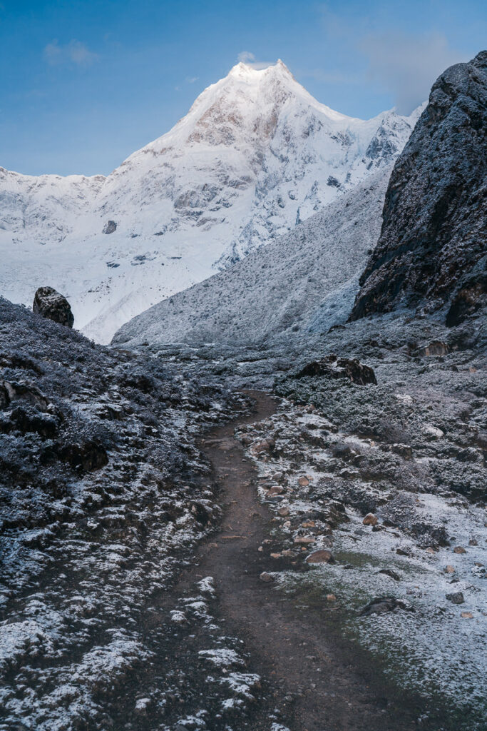
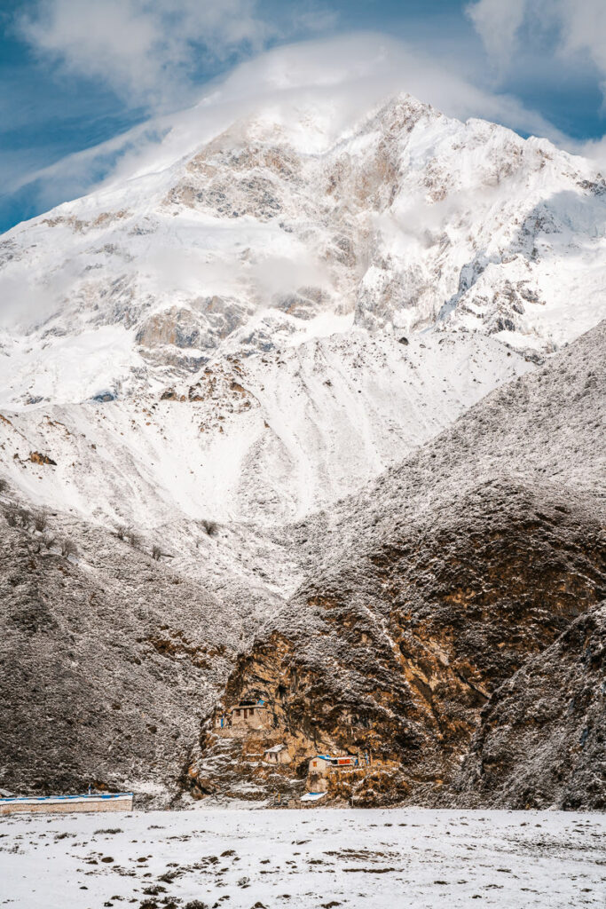
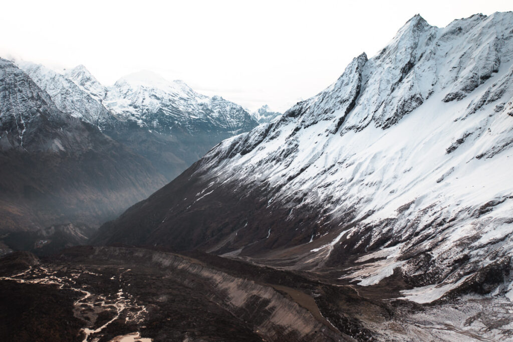
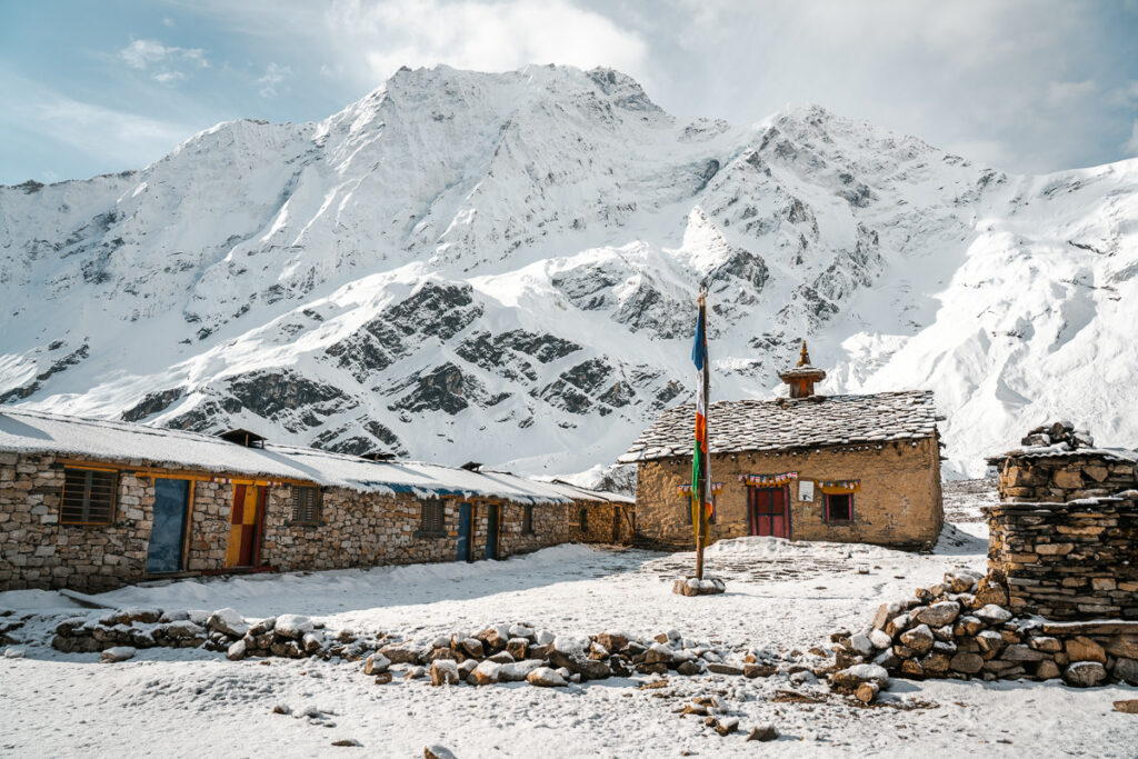
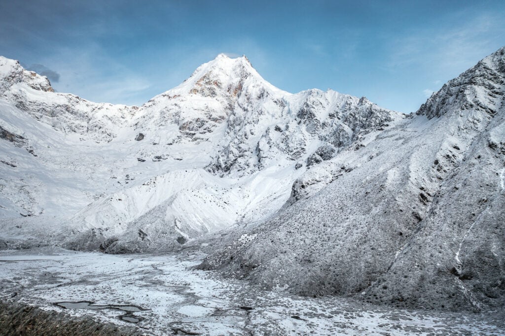
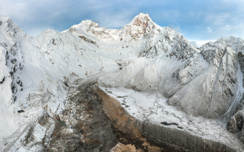
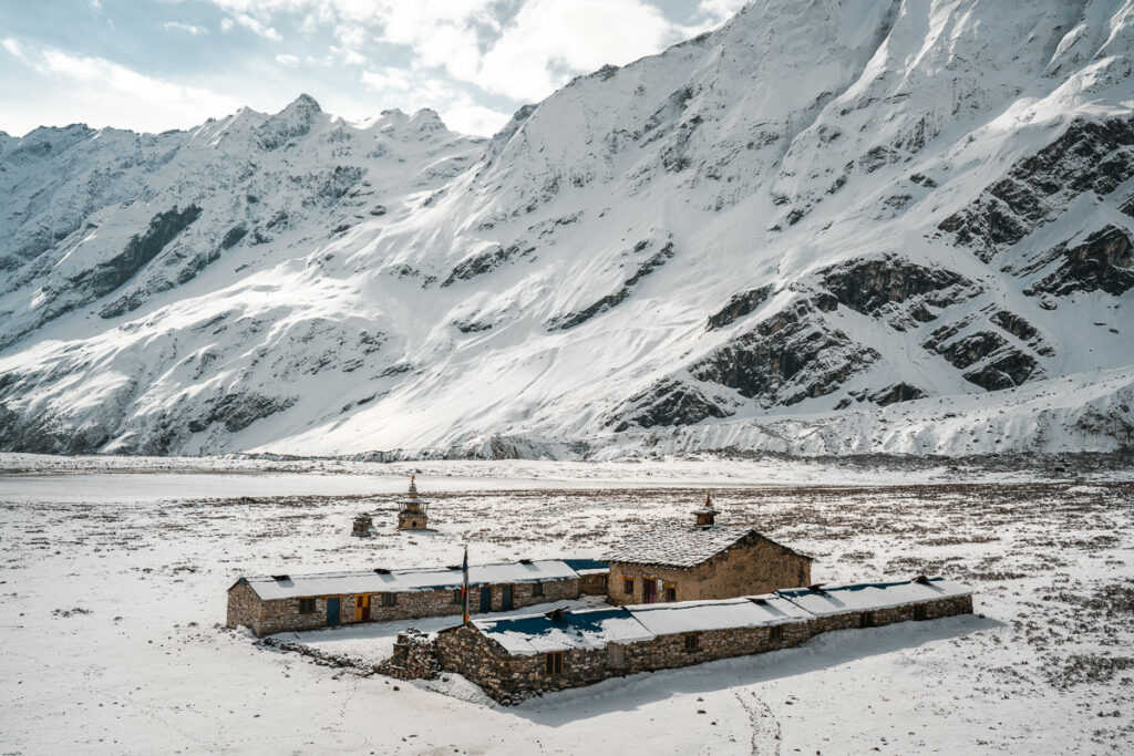
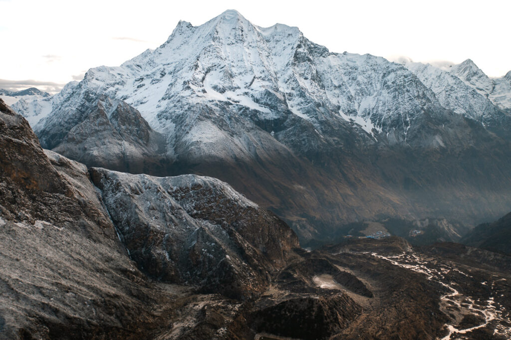
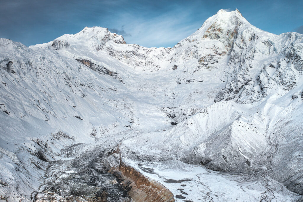
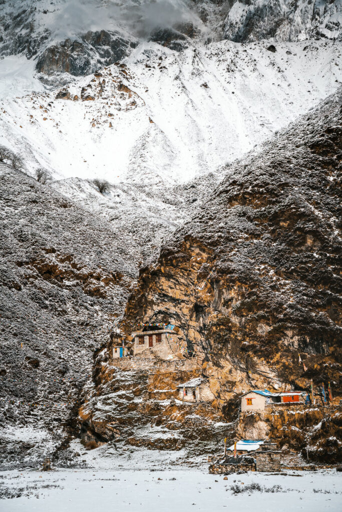
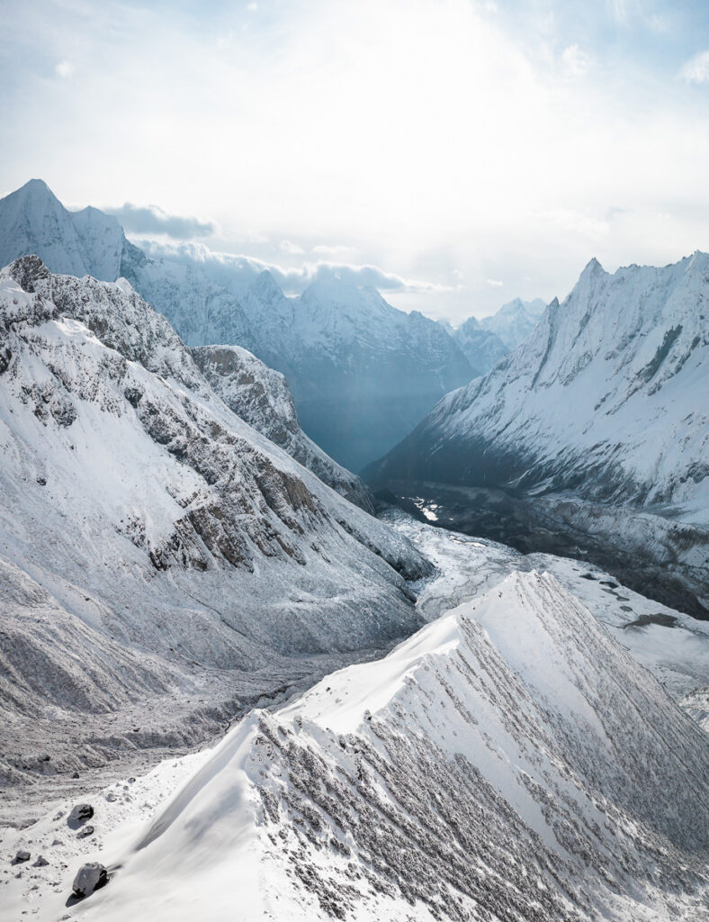
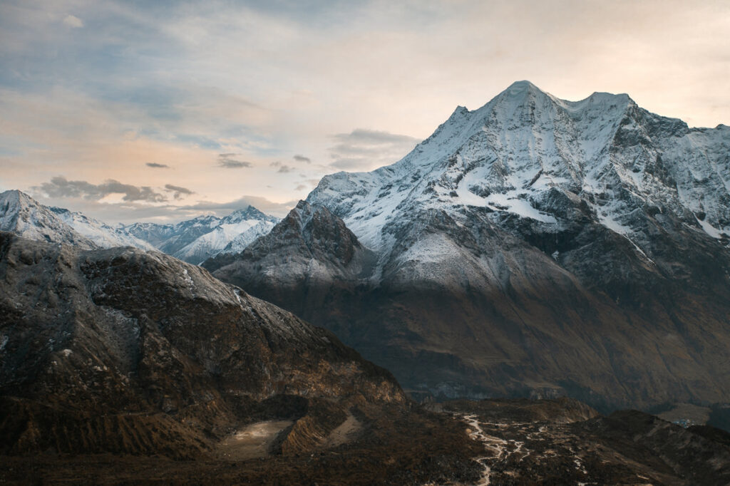
This was by far one of my favorite days of the trip aside from the Larke Pass day. Pungen Gumba is a monastery site at 4200 meters. It sits directly beneath Mount Manaslu at the top of a huge plateau in an ampitheater of mountains. I set off on my own at 4 am to make the 8-kilometer trek in the dark hoping to see some alpenglow or sunrise colors with a clear Mount Manaslu.
The weather gods shined on me and the effort up the rocky hill to the monastery provided me with the best views of the entire trip.
Day 8 Highlights
- After a rainy night before we committed to a sunrise mission. I left solo at 4 am to Puneng Gumba, a monastery built into the cliffs at 4,100. The others joined me a little later and our efforts were rewarded with clear views of Manaslu and one of the most stunning locations I’ve ever explored. One of the best mornings of my life, just me and the dog up at 4,100 meters taking it all in.
- Sitting in the sun at the monastery, the other three finally arrived and brought some tea. Sipping on my cup I was just incredibly grateful to be out here. The views were just jaw-dropping.
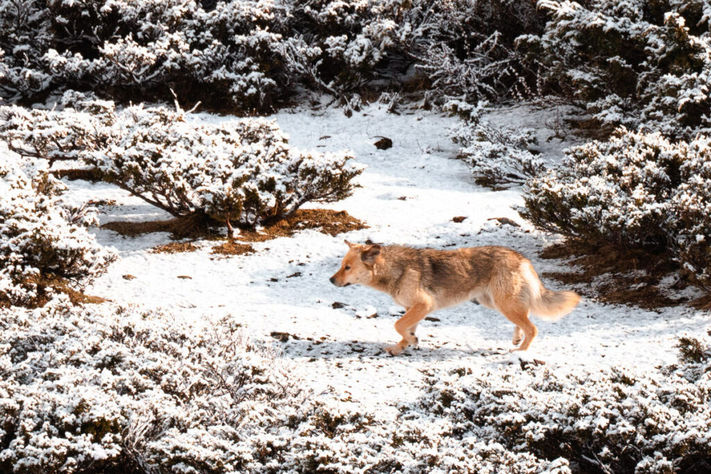
- Yaks, foxes, and marmots up in the snow at Pungen Gumba were quite a cool wildlife sighting and the latter two came unexpectedly.



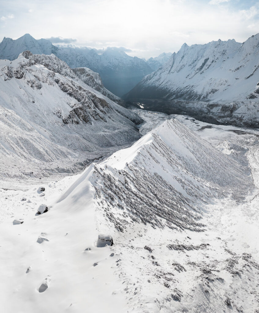
Day 9, Samagaon (3514m) to Samdo (3862m), Distance: 9km, Incline 600m
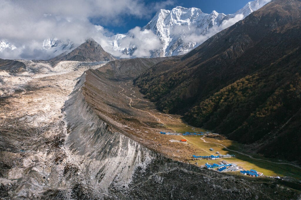
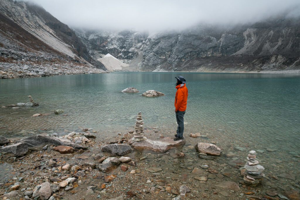
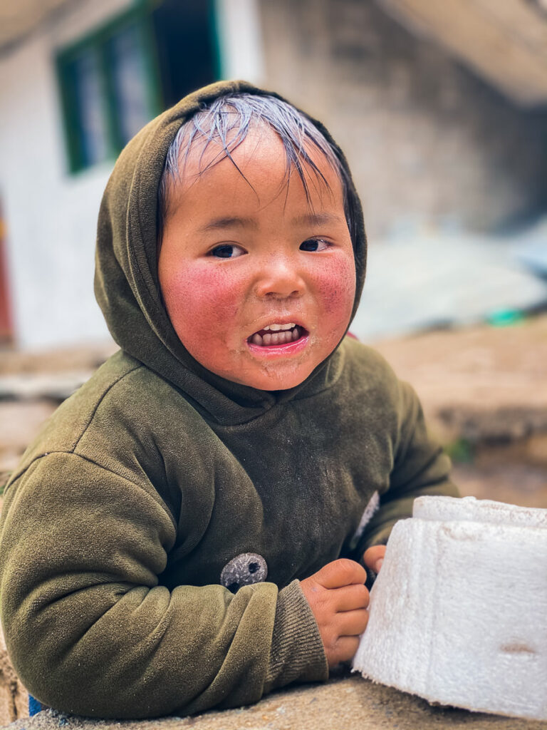
On day nine we began with a short visit to Birendra Lake before breakfast and then the trek heads up through the valley to the Tibetan village of Samdo. This is actually the highest Tibetan refugee camp in Nepal and is pretty remarkably perched on the cliffside.
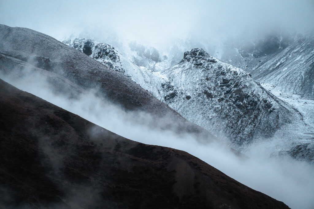
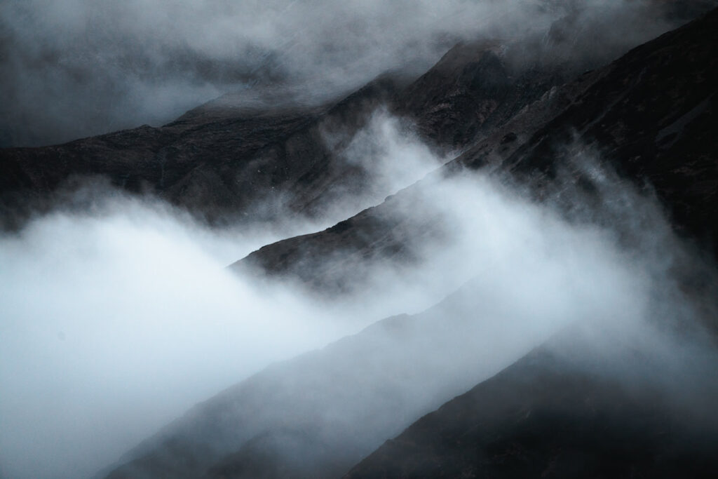
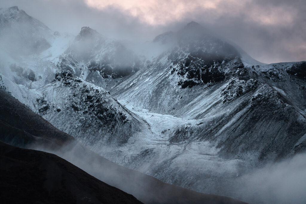
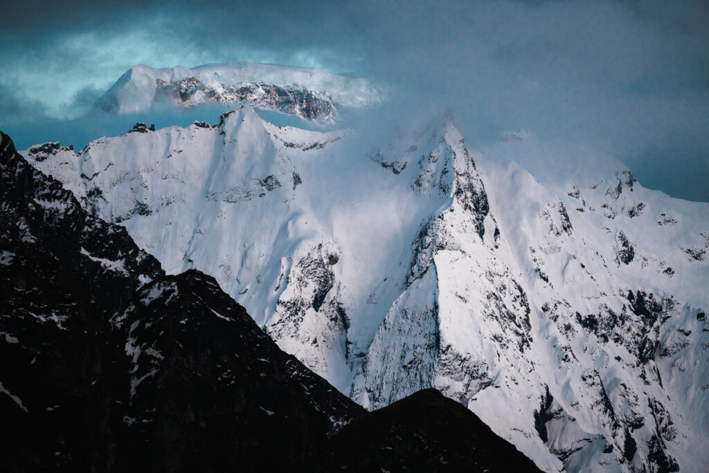
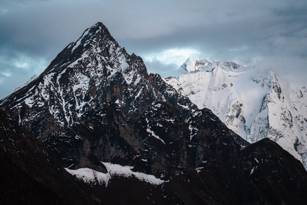
Sunset at Samdo is truly a spectacle with peaks in all directions. Along the way, we will pass through Birch forests and we will see a few Marmots running to hide from us in their little holes. We will have the afternoon to relax and enjoy the views from our cute little village
Day 9 Highlights
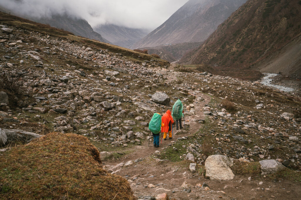
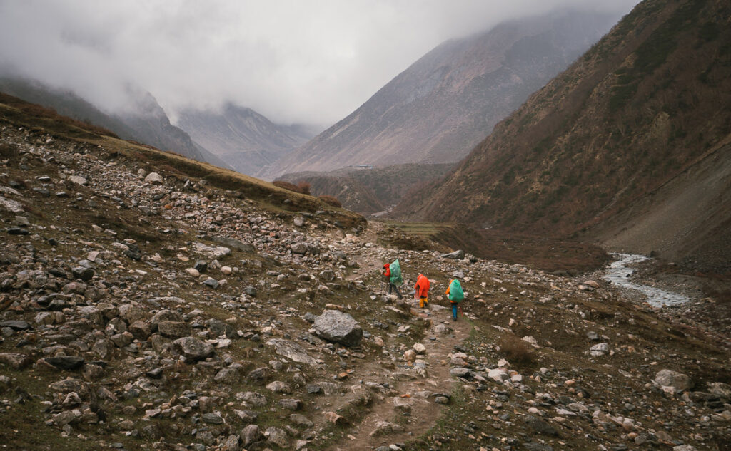
- Our first rain was endured on the short trek to Samdo, a town at almost 4000m of elevation. Along the way, we passed hundreds of huge yaks who were more interested in grazing than us trekking through.
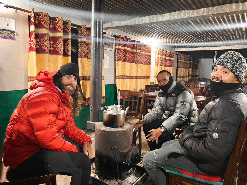
- Samdo was freezing but a warm fire at night in the tea house kept our spirits high. Cards, coffee, and incredible sunset sends us into day ten full of energy.
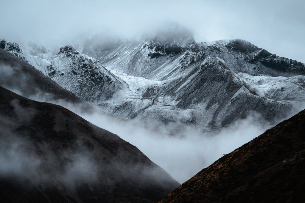
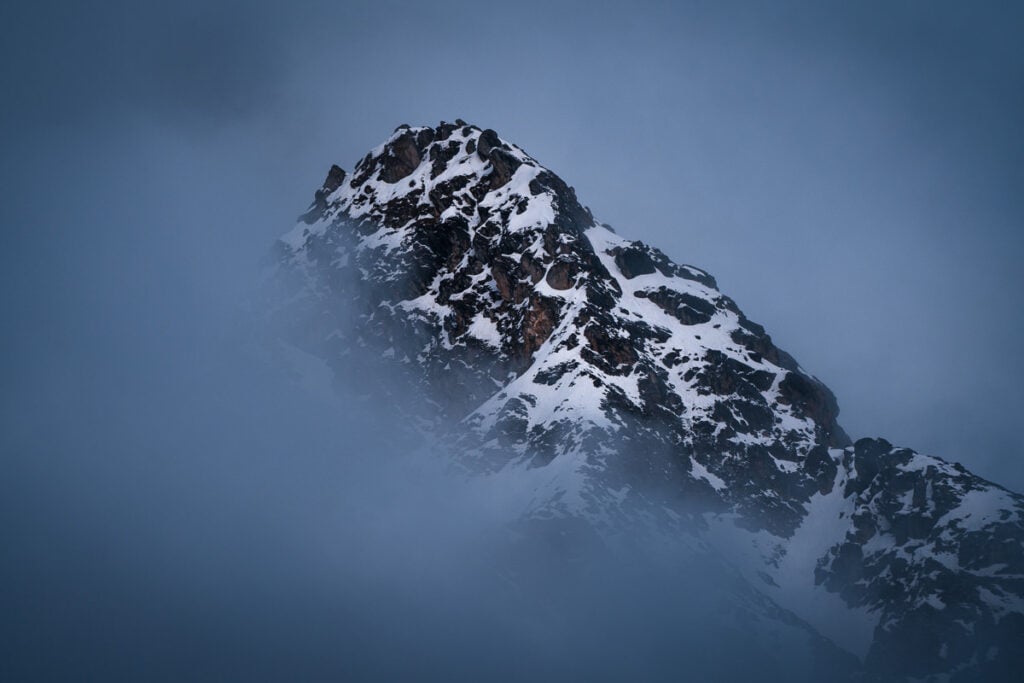
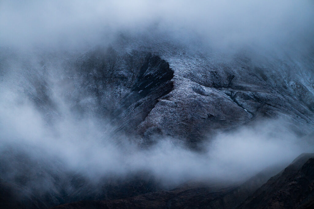
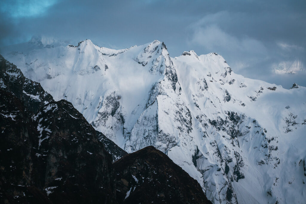

Day 10, Samdo (3862m) to Dharma Shala (4466m), Distance 7km, Incline 700m
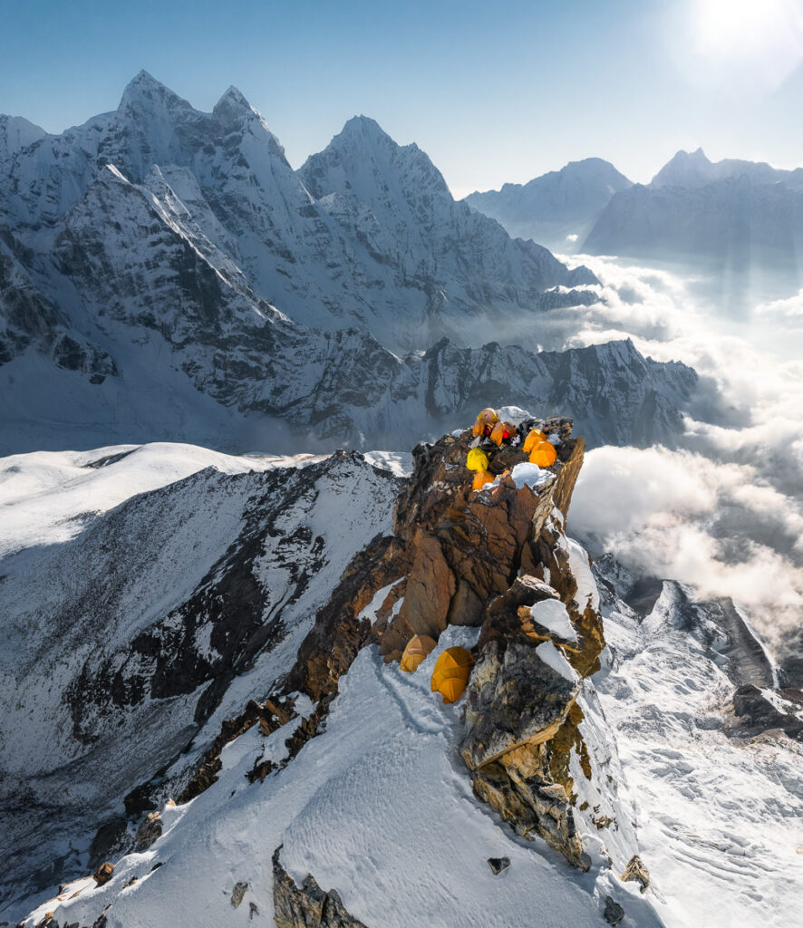
There’s just one day left until we cross Larke La tomorrow so today we ascend to the small base camp of Dharma Shala for the night. It’s bloody freezing here at almost 4500m and there’s no heater. It’s literally just a bunch of rooms perched up on the hill with one small kitchen. It’s a short walk to reach Dharama Shala taking just a few hours but you are at altitude, so you may begin to have a small headache if you are unlucky.
Day 10 Highlights
- I woke up and opened my door to the sight of fresh snow falling in Samdo. In the morning, the Tibetan refugee village was incredibly isolated and covered in a thick blanket of snow, which only exacerbated that feeling of being hidden in the mountains.
- At 4,460m, Dharma Shala is a freezing place to stay the night. With no fire or heater, we slept in all of our winter trekking gear. The hot bottle of water was the only thing adding any warmth to our bodies as we enjoyed our last sleep before attempting the Larke Pass.
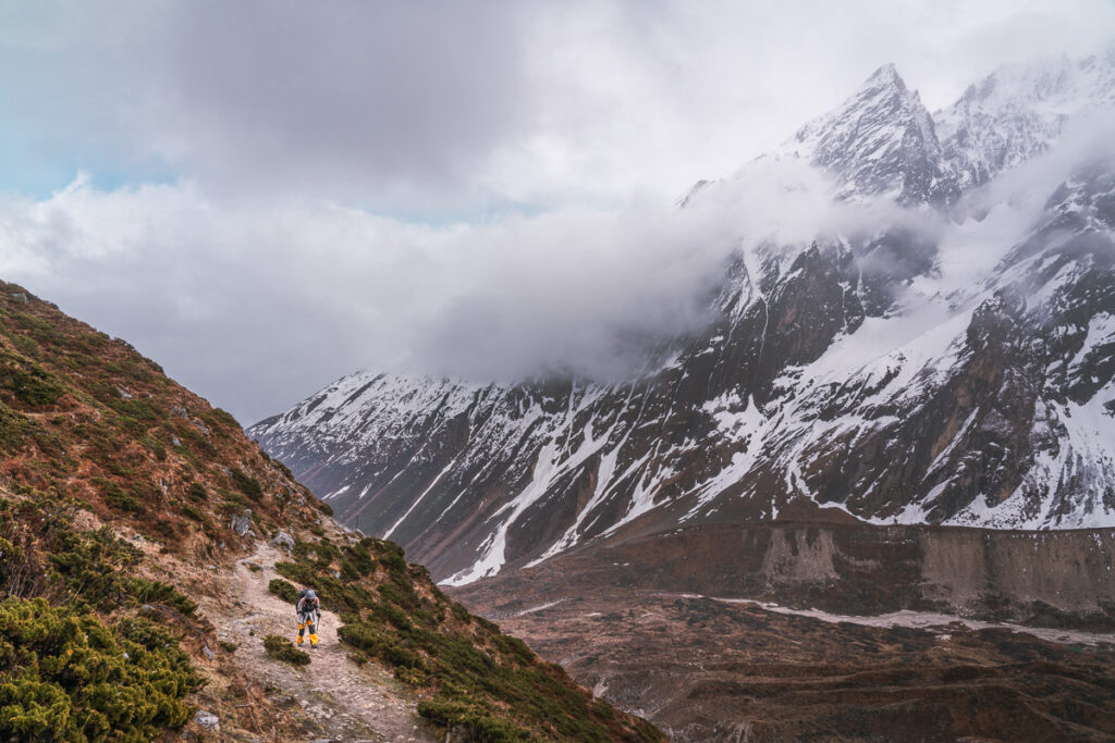
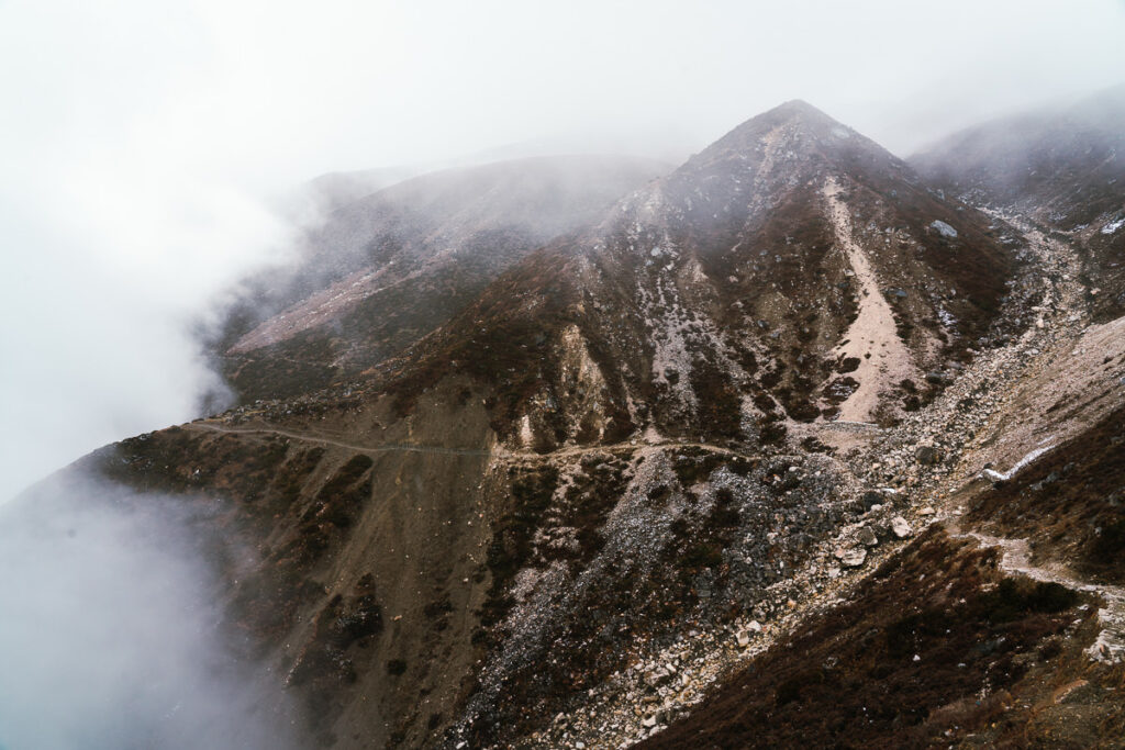
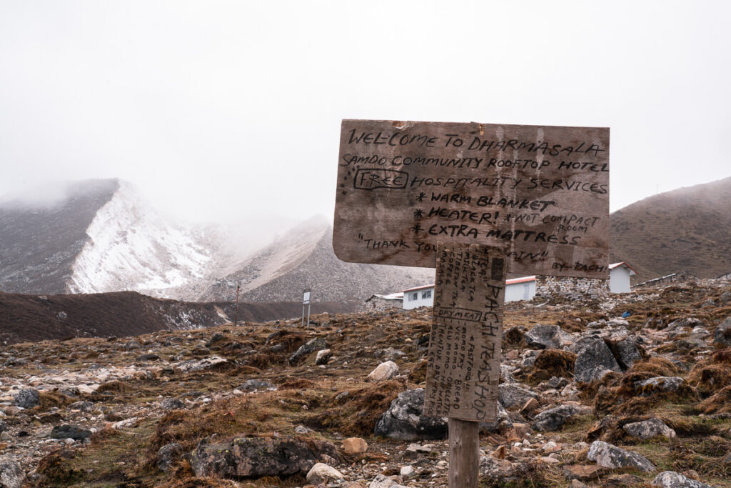
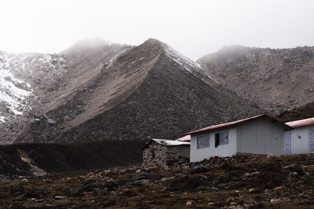
Day 11, Darmashala (4466m) to Bhimtang (3709m) via Larke Pass 5134m, Distance: 18km, Incline 800m
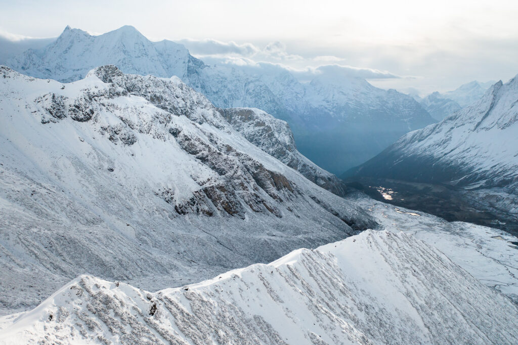
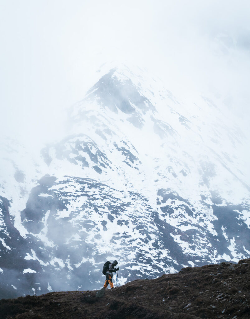
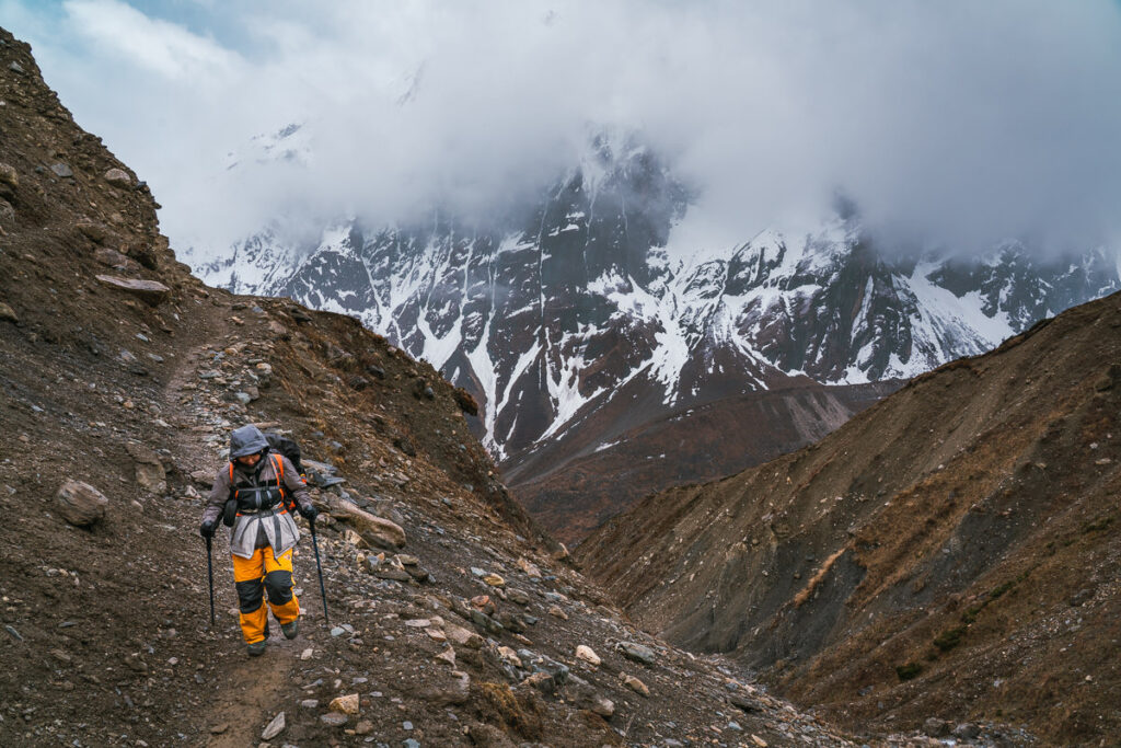
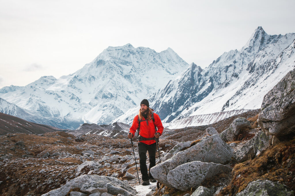
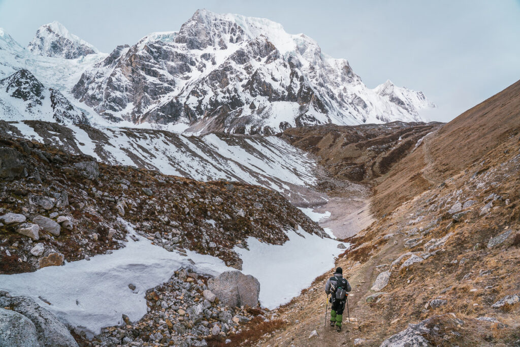
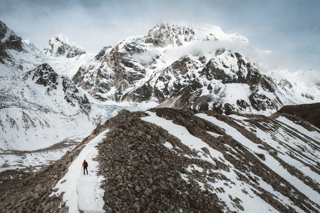
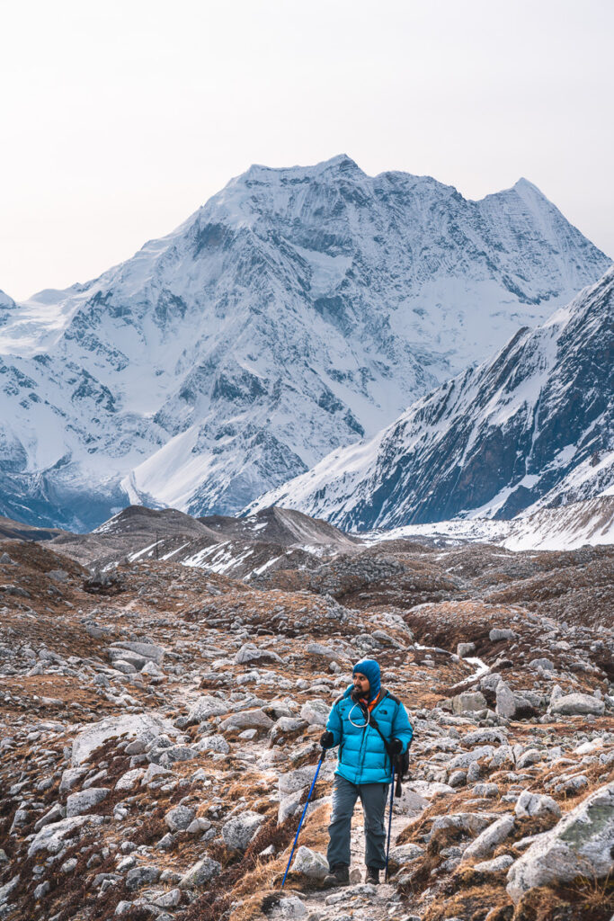
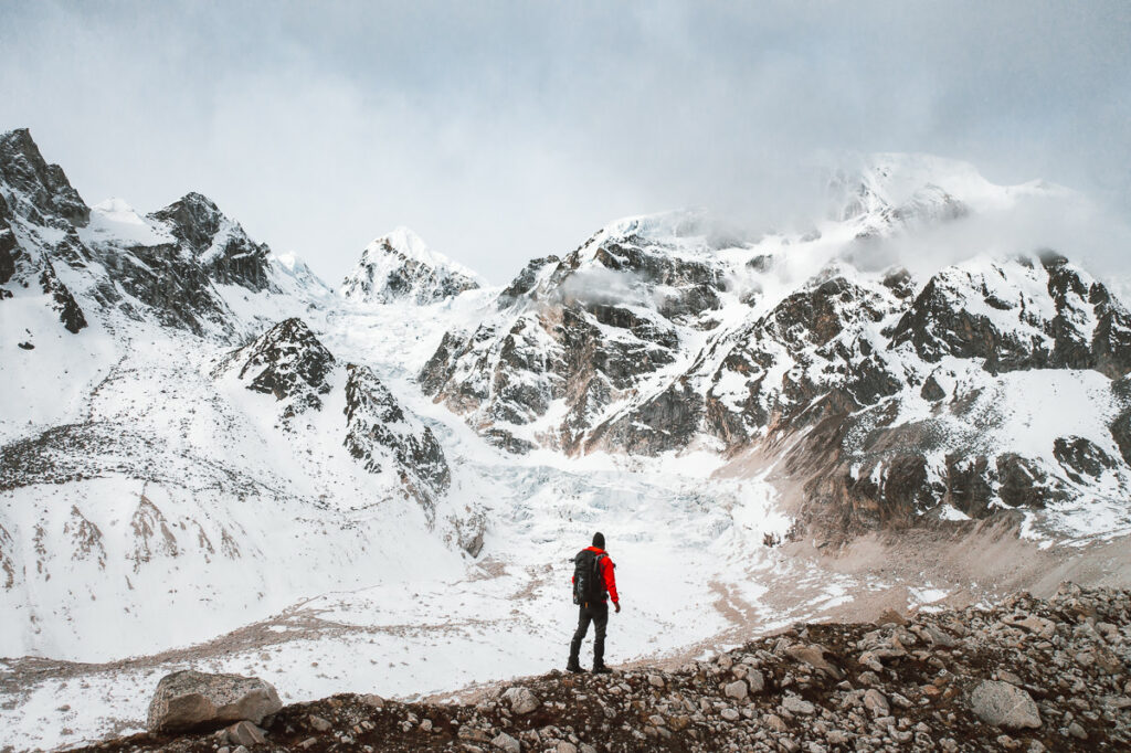
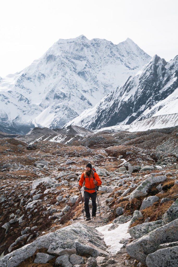
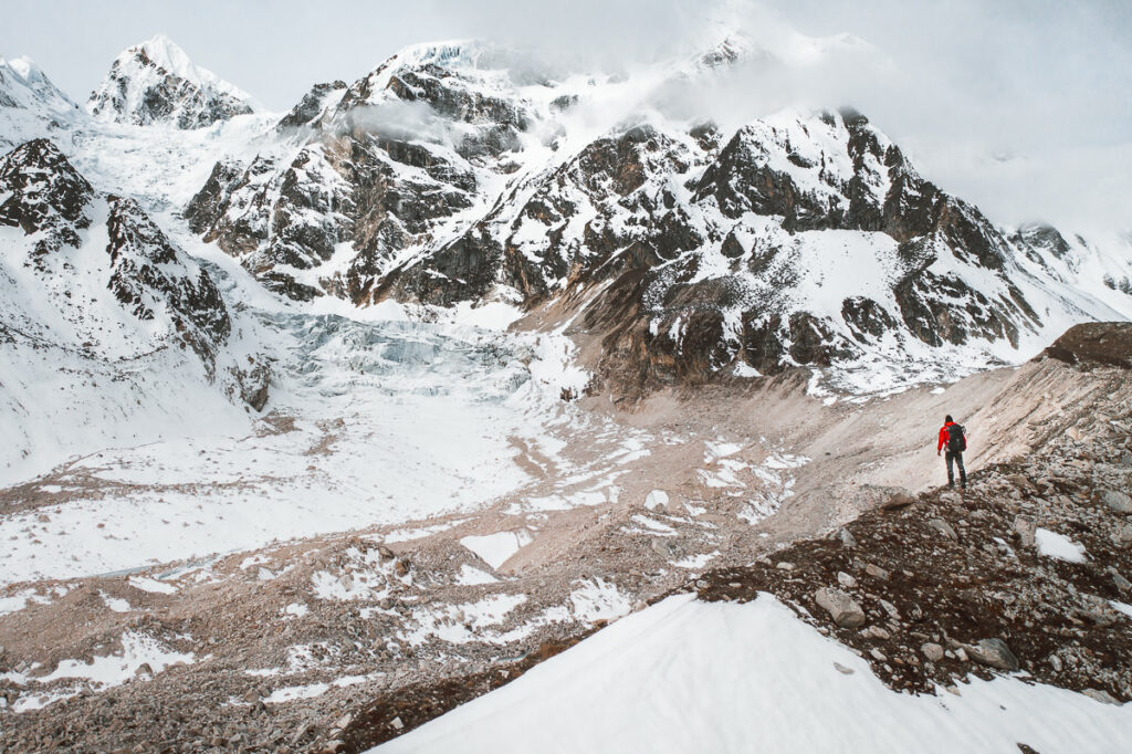
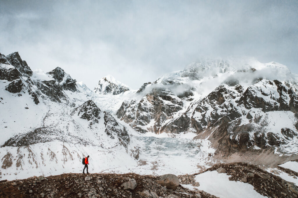
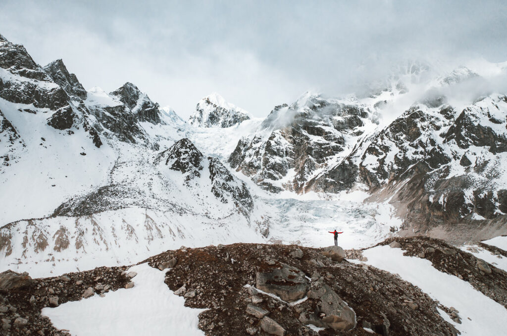
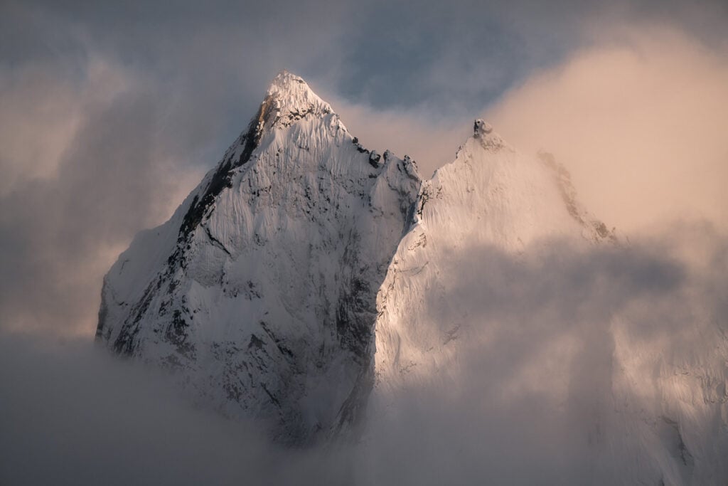
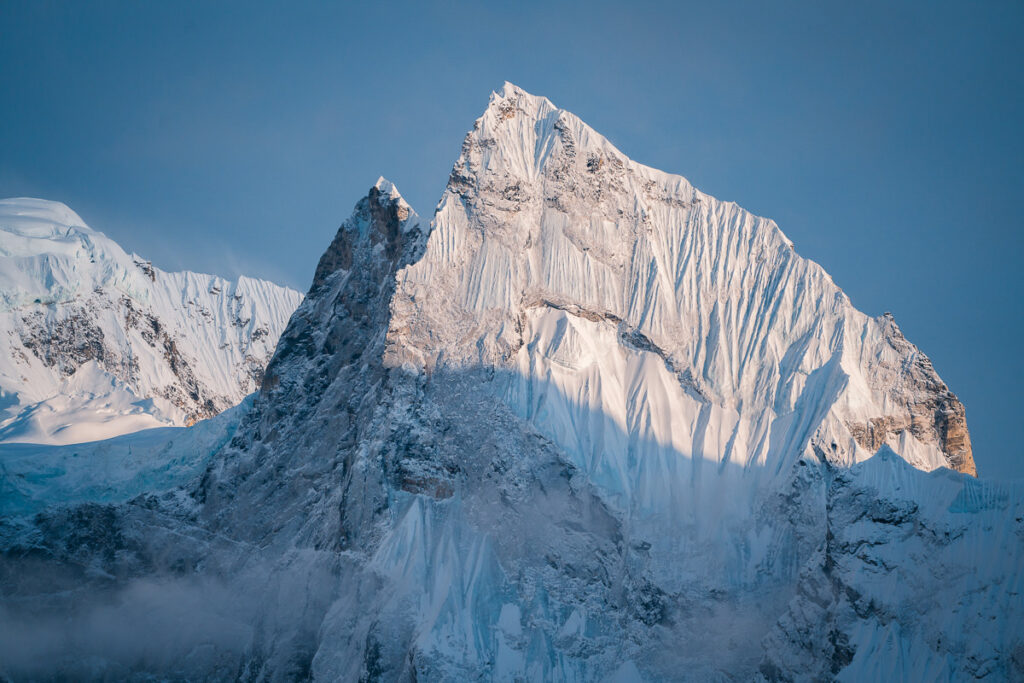
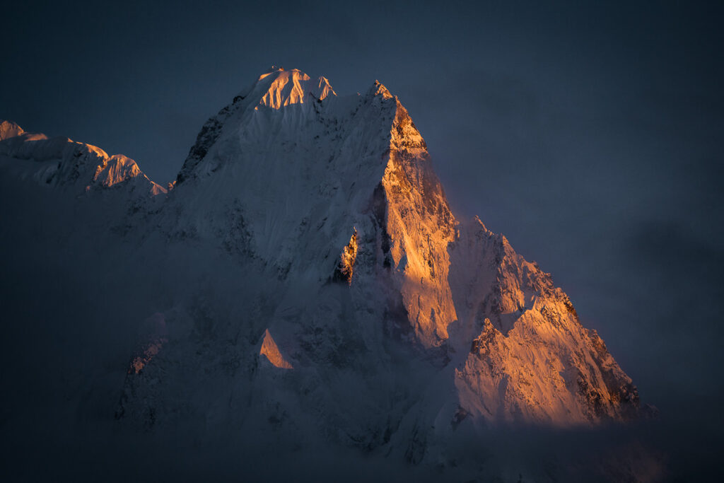
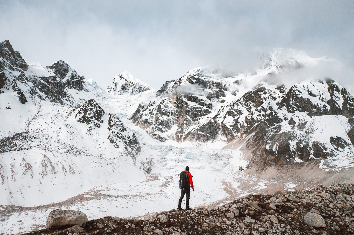
Today is the big day. We woke at 3:30 am and set off just after 4:30 am in time to catch the first moments of the blue hour and sunrise. It takes about three to four hours to reach Larke La at 5106 meters. Along the way, you have an amazing corridor with huge peaks on either side. This was one of my favorite sections of trail throughout the entire route.
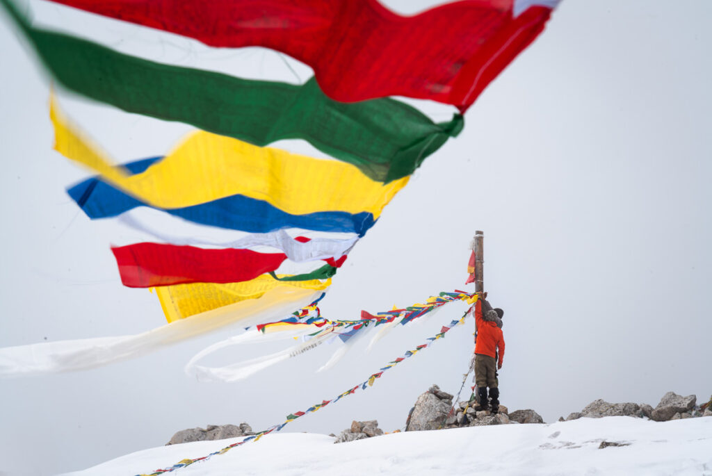
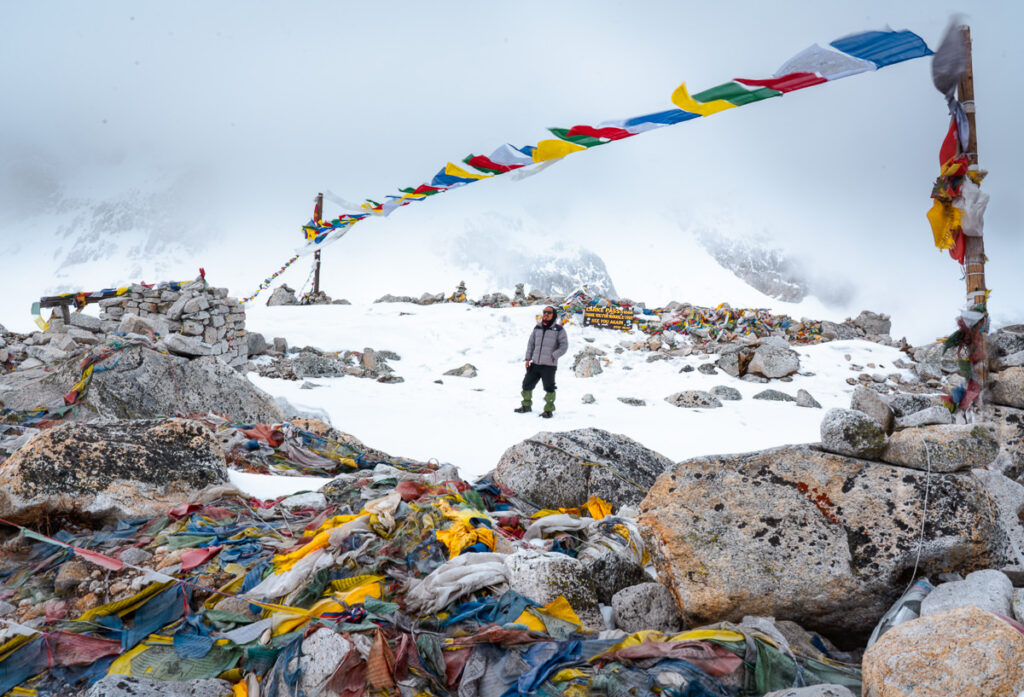
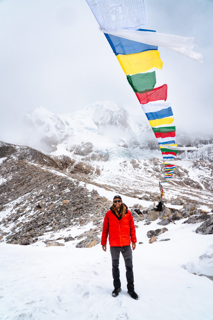
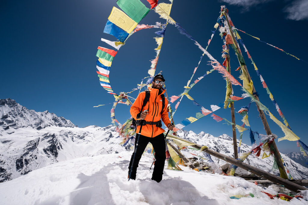
At Larke Pass, it is time to have the prayer flags and take in the view and the achievement! The descent is quite steep and I even put on the micro-spikes for a portion of the downhill. The first village we reach is Bhimtang where we will stay for the night and enjoy a good rest.
Day 11 Highlights
- After a rainy and cloudy night, we were a little worried about our journey to Larke Pass would lack the incredible views it had promised. Upon waking up at 3:30 am, we could faintly make out the lines of the mountain ridges. We knew we had lucked out and were in for a day of clear weather.
- I walked the Larke Pass alone for the most part. I turned on some music as my head tilted from side to side trying to etch these incredible peaks and mountain views into my mind. I never wanted to leave nor forget this incredible corridor in the Himalayas of Nepal.
- Reaching Larke Pass at 5,106m was a milestone and something we had spent 11 days working towards. With just a slight headache, I was glad to reach the collection of prayer flags at the top and take it all in.
- The snowy descent down to Bhimthang was the type of adventure I crave. With microspikes on and a few slips, we enjoyed the high-tempo descent into town. We were thankful for a hot coffee and noodles as we huddled around the kitchen fire in Bhimthang. We had made it, safe and sound.



Day 12, Bhimtang (3709m) to Dharapani (1860m), Distance: 25km, Incline 350m
The final day of trekking is long and downhill. Your legs are tired from the day before but thankfully the incline is very rare and you basically just walk your way out of the alpine zone, into the forest, and then emerge to Dharapani beside the river. It was a long day with more than 25 kilometers to tick off but the walking was easy and going down in altitude is always a refreshing change. It was a good journey through the beautiful forests to reflect on the trek.
Day 12 Highlights
- Spicy noodle soup at mid-morning in a small hut with a lovely local serving us.
- A well-deserved beer (or two) at the Heaven Hotel in Dharapani to cap off an incredible journey.


I hope you enjoyed this massive wrap-up of the Manaslu Circuit Trek. I loved photographing and filming the expedition and I truly loved the trail. I think it offers much more adventure than the other popular circuits in Nepal although let’s face it, any trek amidst the Himalayas is probably going to be epic. Do leave me a comment below if you have any questions or want to share any thoughts about your trek on the Manaslu Circuit. Happy hiking!
HAVE YOU READ MY OTHER NEPAL BLOGS?
I’ve been lucky enough to have many awesome adventures in Nepal, which you can check out below where I’ve listed some of my favorite blog poss from Nepal.
- The Most Iconic route: Everest Base Camp Trek
- The Most Scenic Route: Annapurna Circuit Trek
- My Favorite Trek in Nepal: Manaslu Circuit Trek
- An Easy Nepal Trek: Langtang Valley Trek
- A great beginner peak: Island Peak Climb (6,165m)
- My Favorite Climb in Nepal: Climbing Ama Dablam (6,812m)
- My first 8000er: Climbing Manaslu (8,163m)
- My toughest climb in Nepal: Climbing Makalu (8,463m)
- Where to stay: 16 Best Places to Stay in Kathmandu
TOP 3 PLACES TO STAY IN KATHMANDU

- Ultimate Luxury: The Dwarika’s Hotel – Luxury, Spa-service, Pool
- Best Value: Aloft Kathmandu Thamel – Swimming Pool, Gym & Great Restuarant
- Budget Choice: Hotel Jampa is easily the top cheap hotel in Kathmandu


Adam C
Thursday 15th of August 2024
Epic views man! I hiked Everest basecamp last year and planning to trek Manaslu this Nov.
Thanks for the posts, I even followed some for hikes in Panama 😅
Kat
Tuesday 11th of April 2023
Beautiful photographs! I am also wondering what time of year you went?
Eric
Sunday 29th of August 2021
Bonjour, merci pour ce généreux partage et vos très belles images. A quel période de l'année avez vous fait ce trek ? Je vous souhaite une belle poursuite à vos projets.
Pema
Saturday 15th of May 2021
Well done, Jackson! Those sunrises and sunsets in the mountains look incredible. Can't believe you got to visit Tibetan villages before me too! Next time eat the tsampa with your hands haha
Ken McKinney
Saturday 15th of May 2021
What a great writeup! I have a couple of questions: 1) what time of year did you do this trek? 2) I've previously hiked Annapurna and EBC, but I am older now and less fit. Would it be possible to make the Manaslu Circuit less difficult by doing shorter daily stages, or does lack of teahouses make this impossible?
Wolfgang
Wednesday 22nd of June 2022
@Ken McKinney, He did it in March 2020. See his remarks about lockdown. And yes, it is possible to make it more manageable, the number of lodges is about the same as the number of lodges on the Annapurna Circuit in the 1990's.