Vereda do Pesqueiro hike is an incredible coastal trail in Ponta do Pargo on the west of Madeira Island. This is a special trail because it is basically carved out of the side of the cliff and takes you down to a very remote beach where you can take a swim all alone. It’s exciting, physically challenging, and what Madeira is all about. The hike starts and finishes at Miradouro do Fio where you can park your car, have a coffee, or enjoy a post-hike beer and meal.
TOP 3 PLACES TO STAY IN MADEIRA
- Ultimate Luxury: Les Suites at Cliff Bay best location and view
- Best Value: Hotel Alto Lido – Funchal rooftop swimming pool under 100 Euros
- Budget Hostel in Funchal: Santa Maria Hostel is easily the top hostel in Funchal
VEREDA DO PESQUEIRO HIKE DETAILS
- Hike Distance: The total distance of the hike is 6 kilometers and it is a loop trail.
- Hike Duration: The hike will take you about 2 hours if you don’t stop for a swim at the beach and walk nonstop. Expect to spend 3 hours if you relax at the beach for a little bit.
- Hike Difficulty: The trail will have to go in the difficult category but it’s only moderately difficult. The reasons are as follows. Firstly, it isn’t very well signed so you need to use Maps.me to follow the trail but if you follow the trail on the app, then you will not get lost as it was very accurate. Secondly, you have 450 meters of incline and most of that comes in a 1.5km section back to the top of the cliffs. This can be brutal if you aren’t used to climbing up a steep incline. Thirdly, there is no shade and Ponta do Pargo is known as being one of the hottest places on the islaÏnd so you will be exposed to the sun for most of the hike and it can really wear people down. Finally, the trail itself is quite challenging. It is very steep down and up the hill and on both sides of the loop trail. Expect loose gravel and some drop-offs although you usually had a very wide path with one side of the cliff wall for safety. When you walk along the coast, you will have to navigate along the huge stone boulders that cover the shore. This can be slow-going for some and hard to get any speed or momentum. Overall, I found it pretty fun and not too crazy but it’s all relative. Maybe not one for the kids unless they are well-versed in big drop-offs and watching their steps very carefully.
- Hike Incline: Total incline for the hike is 450 meters
- My hiking guide: I did this hike with a local guide (also a great friend) called João. He’s lived in Madeira his whole life and knows all of the unique trails (not just the popular ones). This trail requires some local knowledge of the directions so I recommend a guide. Want to contact João to be your guide for this hike or any of the hikes I’ve done on Madeira? You can contact him on Instagram here: João Let’s Hike or by email: joaoletshike@gmail.com
- My Strava Map Upload: Vereda do Pesqueiro Hike
MY 3 FAVORITE TOURS IN MADEIRA
- Dolphin & Whale Watching: Take a cruise from Funchal to spot Dolphins, Whales and see amazing views of Madeira’s coastline!
- Hike Pico Arieiro to Pico Ruivo: Hike the most epic trail on the island with a qualified guide!
- Level 1 Canyoning Adventure: Rappel down waterfalls in this high-adrenaline experience.
HOW TO GET TO VEREDA DO PESQUEIRO
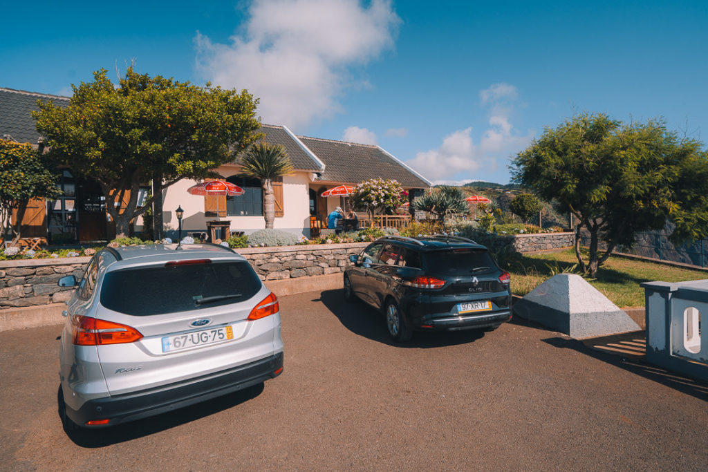
The trail is best started at Miradouro do Fio, which is a popular sunset viewpoint on the west of Madeira Island. Here you will find a fully-serviced restaurant and parking lot with many spaces. The trail actually begins just behind the restaurant and follows the cliffs along the coast before dropping down onto the beach. I’ve added the pin location for Miradouro do Fio below so you can plan your transit. It’s a 20-minute drive from Calheta or a 50-minute drive from Funchal.
BEST RENTAL CAR COMPANY ON MADEIRA
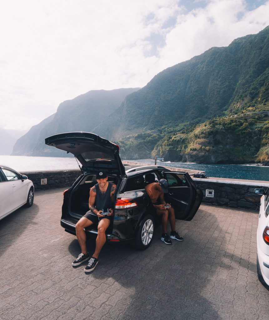
When you book your Madeira Rental Car online, I personally recommend and always use Discover Cars. They search for both local and international companies, so you get the best deal! MUST Read: Guide to Renting a Car on Madeira
BEST TIME TO HIKE VEREDA DO PESQUEIRO
There are a couple of things to consider when planning this hike and I’ll detail them below.
- Heat: If it’s hot, many people will struggle with this hike because there is no shade and you are completely exposed for a few hours. Bring a lot of water even though it’s a short hike and sunscreen.
- Weather Conditions: If it has been raining or is super windy avoid this hike as there can be landslides in the area and the rocks may be prone to crumbling if it is raining and blowing a gale.
- Time of day: The best time to hike Vereda do Pesqueiro is in the late afternoon. That means you start in the heat when you go down but you can take a swim at the bottom and then watch the sunset as you climb back up. This also means that you have cooler weather and the sun is less harsh when you cross the beach and do your climb back up to the top of the cliffs. We started at around 5 pm and had great lighting and sunset conditions for the hike.
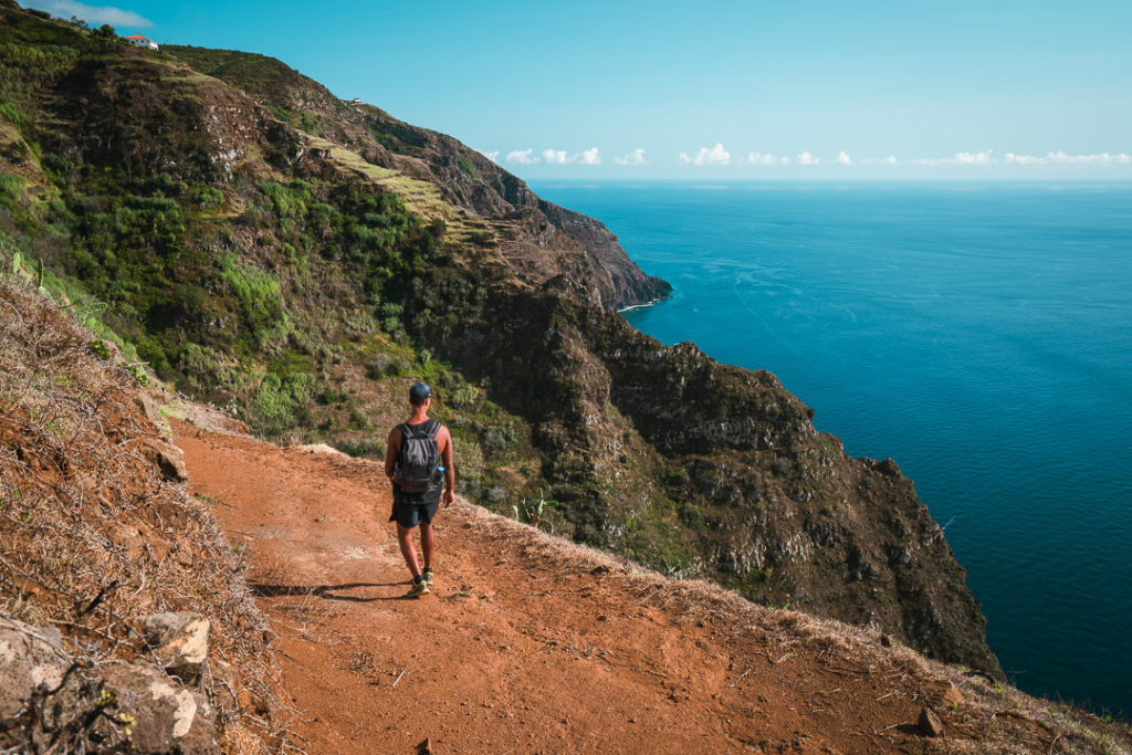
MY EXPERIENCE ON THE VEREDA DO PESQUEIRO
The hike begins at the Mirdadouro do Fio or ‘O Fio’ as it appears on Google Maps. For this trail, isn’t on the Madeira hiking apps and is not well-signed at all. You need to use Maps.me to follow the trail. I’ve added a very rough map below but you will see the route very clearly on Maps.me app
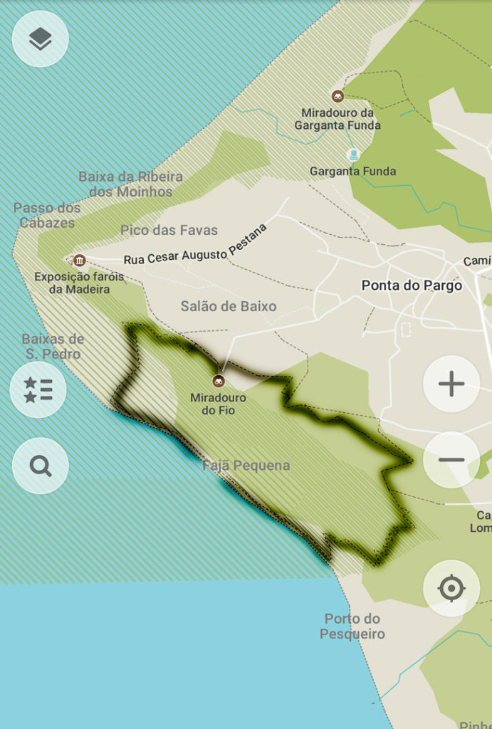
Just behind the Miradouro do Fio, you will see a very faint path that heads off toward the east. This is the start of the trail. The first 2-kilometers of the trail aren’t very interesting as you pass through a few fields and dodge some constructions. However, it’s better to do this part of the loop first otherwise you will have to do it when you are tired from climbing the hill.
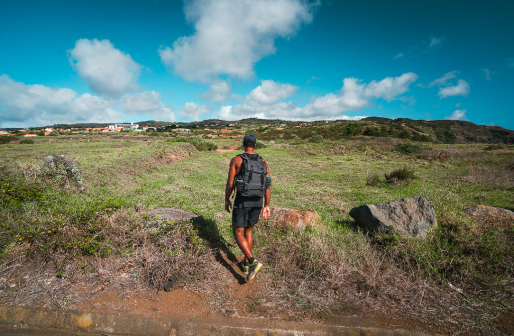
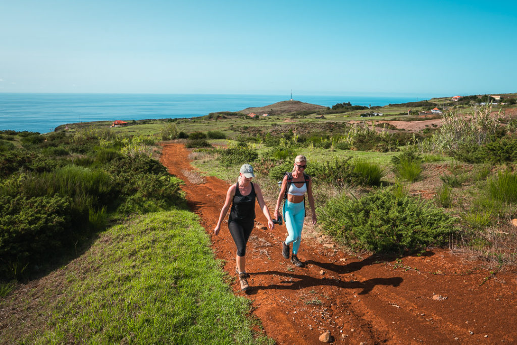
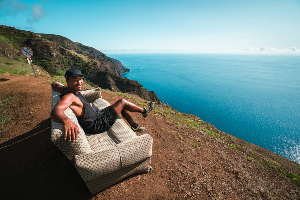
The trail was quite hard to follow but eventually, we ended up at the cliff edge overlooking the ocean. Here we found an old couch, which was positioned perfectly towards where the sun would set. I imagine a couple of locals use this as their sundowner location every night. You will also see a sign at this point, which says ‘Vereda Pesqueiro’. This is the right place and you will now begin the descent down the winding, cactus-laden trail.
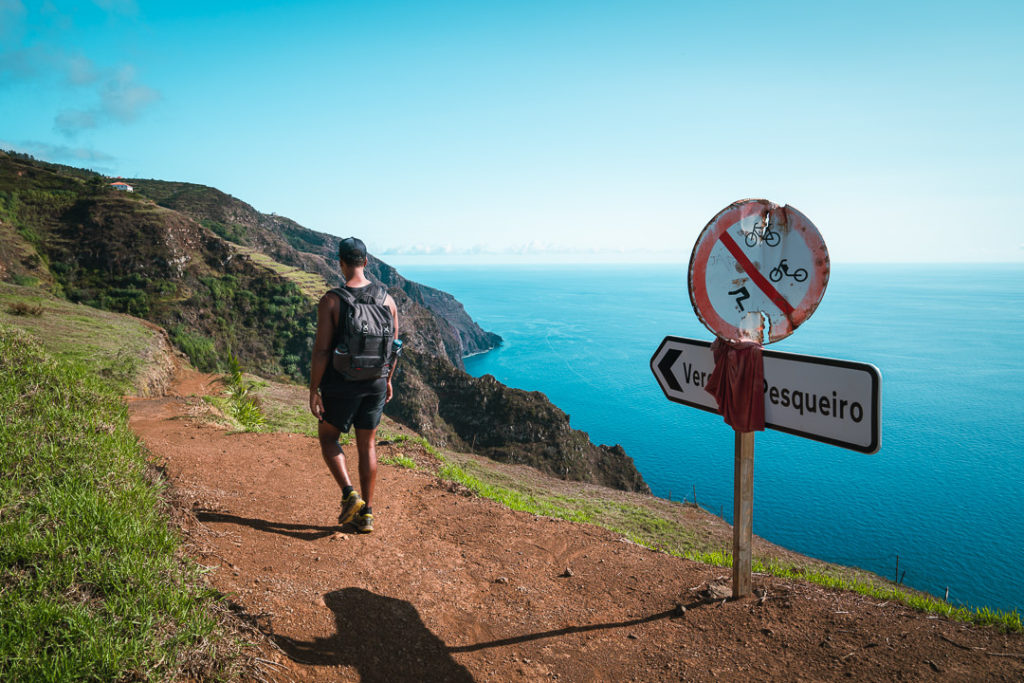
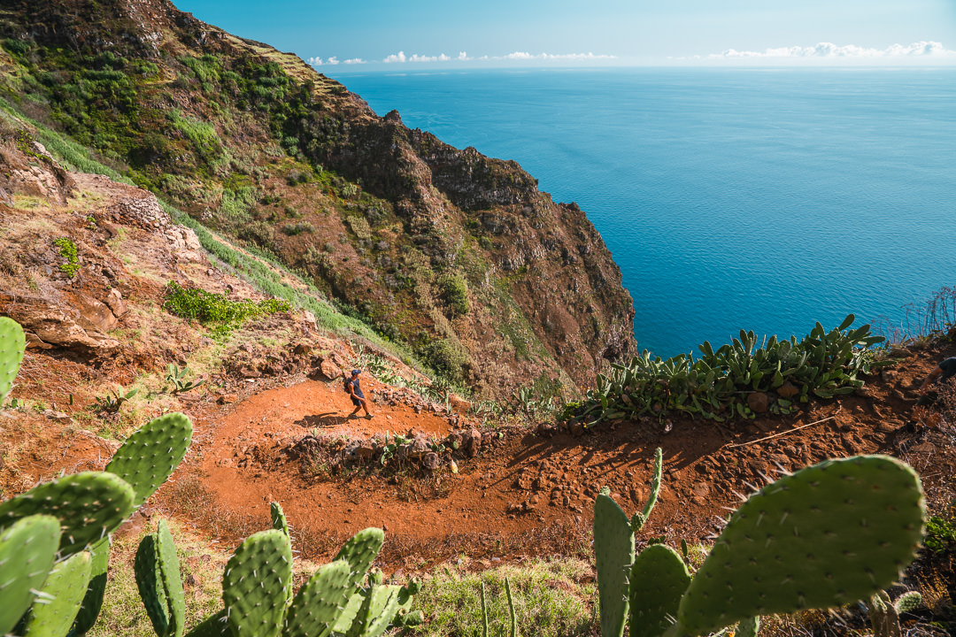
The trail is pretty wide at this point so don’t be alarmed by the descent. You have lots of room and it winds back and forth with lots of switchbacks so it isn’t too steep. It’s a gravel path so you need to be cautious and take care but it wasn’t as bad as I thought it might be. I’ve added a couple of photos below from the camera and the drone to give you an idea of what to expect in this section of the trail. It looks worse than it is. When you are actually on the trail it really isn’t that steep.
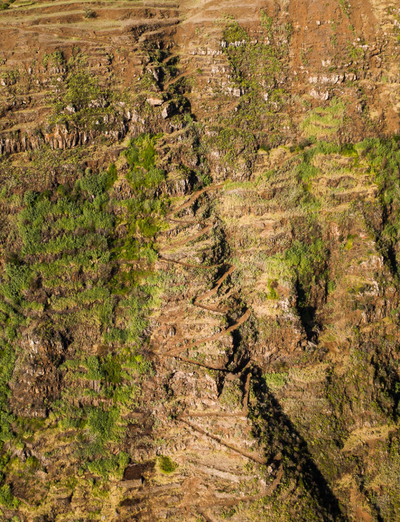
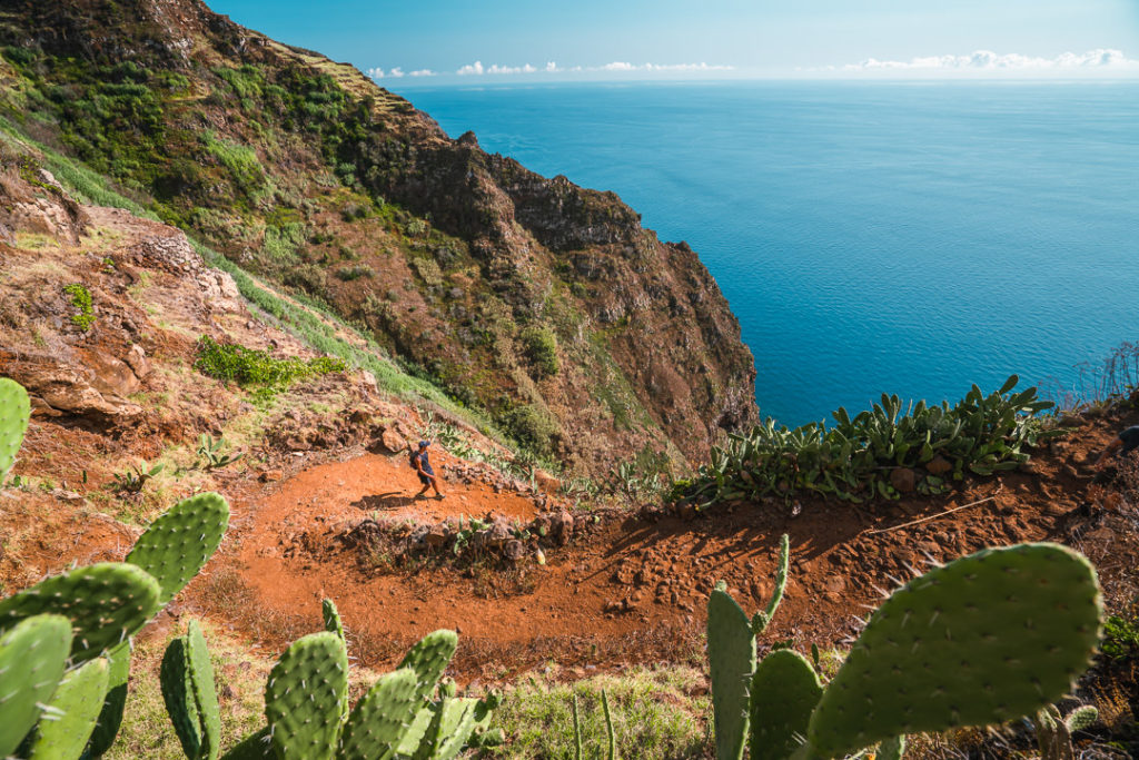
As you near the bottom of the trail, it is getting really hot as you have been exposed to the sun for at least an hour now. The glistening blue water of the ocean below becomes more and more enticing. Towards the end of the descent, the trail deteriorated a little bit so take extra caution as you get closer to the beach. It was quite interesting to see lots of little caves and hideaways, presumably created by fishermen, at the bottom of the path.
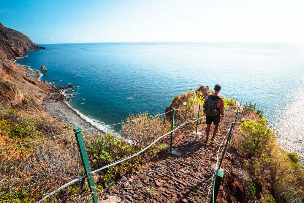
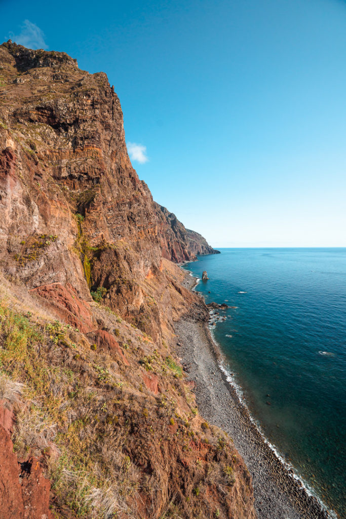
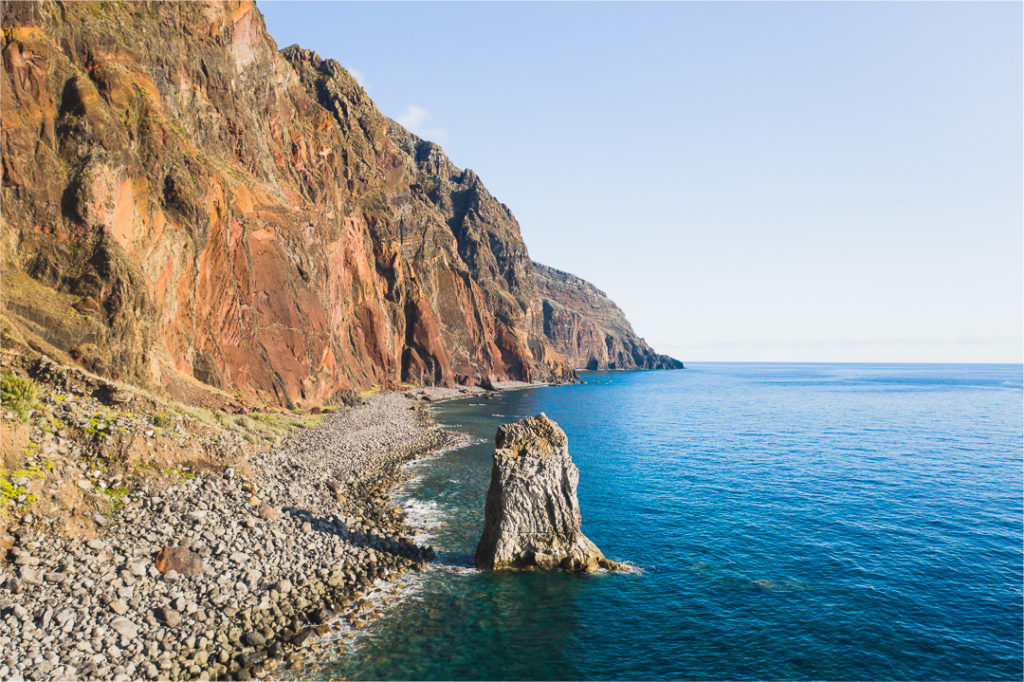
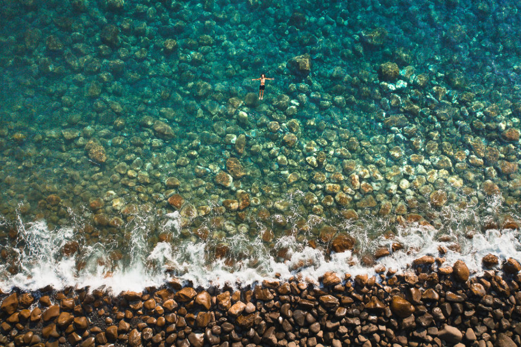
Once we reached the stone beach, there were no two ways about it. I threw off my bag and ripped off my hiking shoes before heading straight into the water to cool off. It was one of the most refreshing swims of my life in the crystal clear waters. Getting in and out of the water can be a bit of a challenge as the waves crash into the rocks so be careful with the conditions if it isn’t very calm. On the day I swam, it was quite calm and I still hit a few rocks trying to get out.

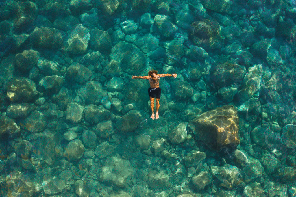
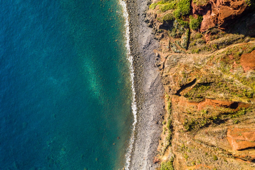
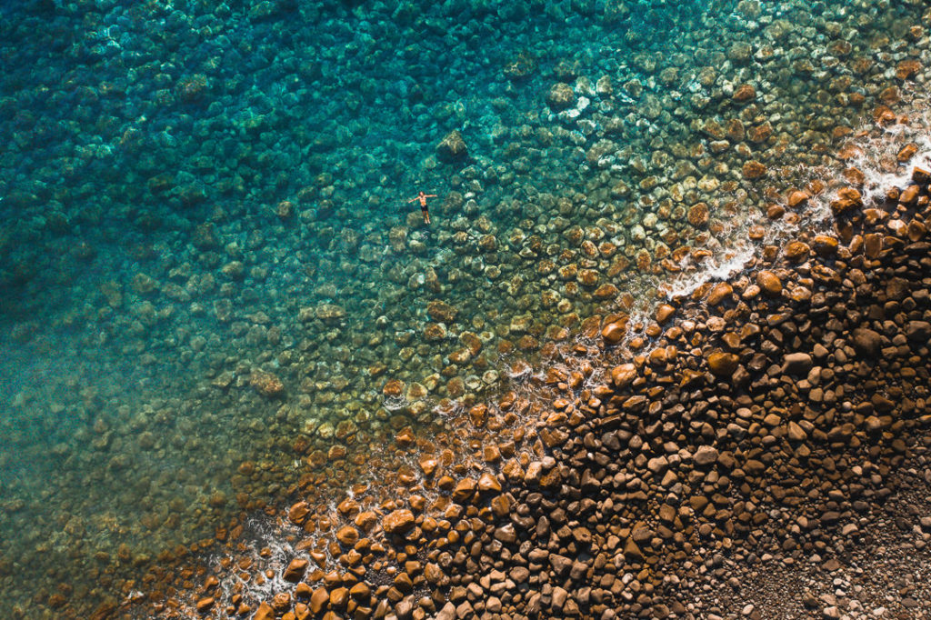
Once you have enjoyed a bit of a swim and recovery down at the beach you then need to traverse the one-kilometer walk along the rocks. It can be slow going and you need to make sure the rocks don’t move beneath your feet so don’t rush this part. By now, the sun was beginning to set and we made this crossing during the golden hour.
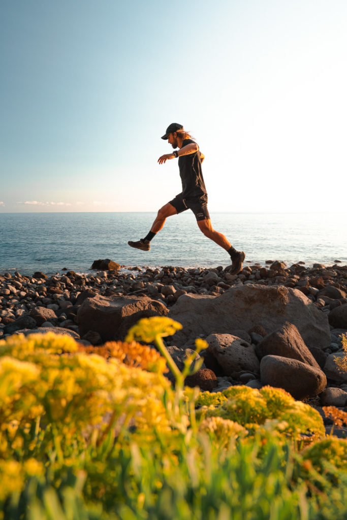
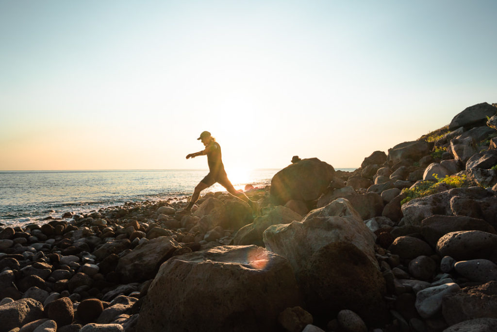
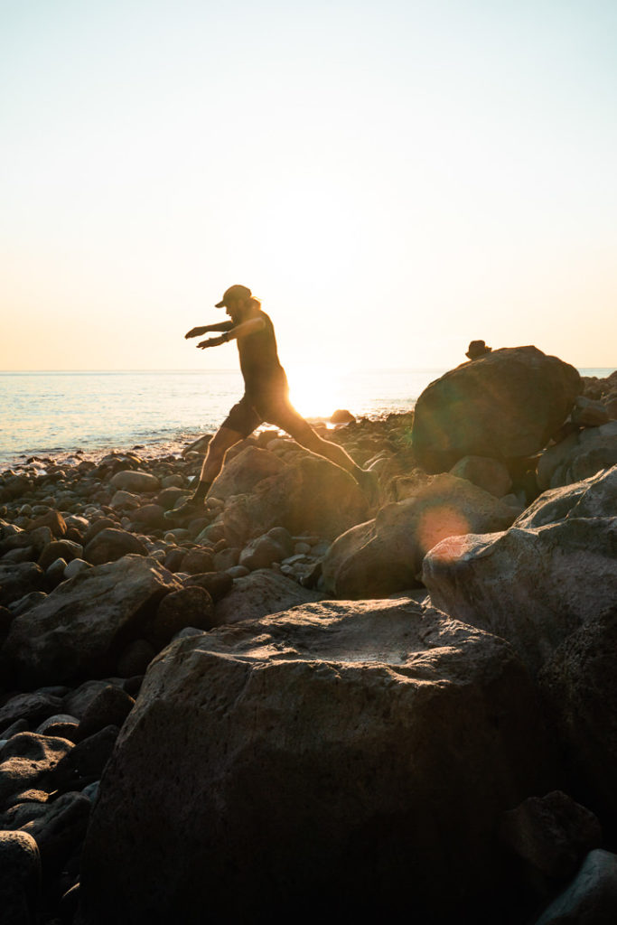
Make sure you are keeping a close eye on Maps.me because the trail back up to the cliff-top was not marked or signed and wasn’t very visible. It was just a small, overgrown path that we could’ve easily missed. It is after the Miradouro do Fio so once you pass that (above you) start looking for a turn-off on your right.
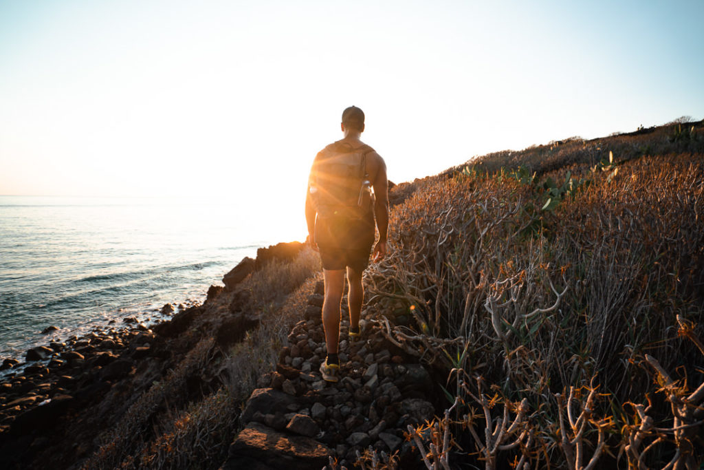
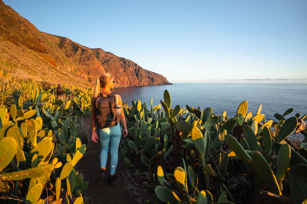
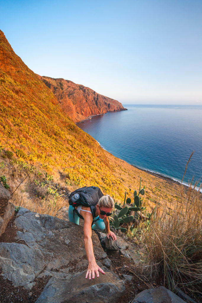
It’s time to climb! Once you reach this point, there’s just 1.3km remaining. However, there is 360m of incline to tackle so it’s a pretty brutal final section of the trail. The path was rocky and mostly gravel so there were a few slips but nothing too serious. Most of the way there is not much exposure or drop-off but towards the end, there were bigger drop-offs on the side and it became a little bit more sketchy. Overall, considering how steep it was, I thought the climb back up was relatively safe. You probably want to get back up to the top before the light fades as that would add a higher degree of risk and chance of an accident. We were lucky enough to catch the sunset while we were three-quarters of the way up the climb.

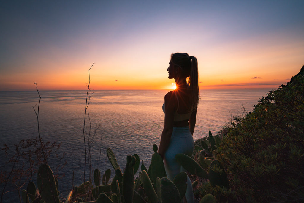
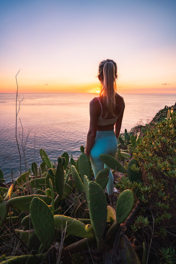
And that was that. We made it back to the Miradouro do Fio and had an ice-cold beer to celebrate the hike at the cafe. I hope you enjoyed this guide about the Vereda do Pesqueiro hike in Ponta do Pargo on the western side of Madeira Island.
ADVENTURE BAG FROM THE VEREDA DO PESQUEIRO HIKE
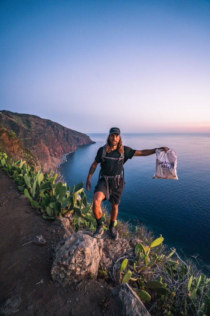
This is an adventure bag. It is full of trash. Every time I go on an adventure I collect one adventure bag full of trash. It’s my small way of saying thanks to mother nature for allowing me to enjoy her beautiful creations. If we have time to go on an adventure we have time to collect an adventure bag on the way back out of the trail once we have enjoyed the waterfall, the hike, or the beach. Adventure hard!
Tag your Adventure Bag on Instagram and mention @adventurebagcrew in your Instagram stories and we will repost your Adventure Bag photo to help inspire your friends, family, and followers to join the movement!
WONDERING ABOUT WHERE TO STAY ON MADEIRA?
Throughout my six months on Madeira Island, I stayed in multiple accommodations. My favorite regions to stay in were Funchal and Canico de Baixo. I’ve created several guides to help you find the right region for you and a great hotel or apartment.
- The ultimate guide: WHERE TO STAY ON MADEIRA: WHICH REGION IS RIGHT FOR YOU?
- If you want luxury: BEST 5-STAR LUXURY HOTELS ON MADEIRA ISLAND
- To feel at home: TOP 10 BOUTIQUE HOTELS ON MADEIRA ISLAND
- If you want to base in Funchal: WHERE TO STAY IN FUNCHAL: 15 TOP-RATED HOTELS
HAVE YOU READ MY OTHER MADEIRA BLOGS?
I spent six months exploring Madeira and the nearby island of Porto Santo. These are some of my most popular guides about the region that you may be interested in.
- My favorite hikes: 65 AWESOME HIKES ON MADEIRA
- My favorite levada walks: 25 BEAUTIFUL LEVADA WALKS ON MADEIRA
- The best waterfalls on the island: 25 EPIC WATERFALLS ON MADEIRA
- Guide to the best Accommodation: WHERE TO STAY ON MADEIRA
- Hardest hike: THE MADEIRA ISLAND ULTRA TRAIL IN 4 DAYS (115KM)
- Longest hike: CAMINHO REAL 23: MADEIRA’S ROYAL PATH (180KM)

Luís
Saturday 22nd of May 2021
Hi, did this this hike today too. I enjoyed it, but that way back was really, really hard. I wasn't in shape so that's a big thing to consider. I did not made the loop, I did the section that u did when u were going down. Since u made the loop, on your way back, did u find that section less steep then the one that u went down?
Jackson
Tuesday 25th of May 2021
Hey yeah it's not easy due to the incline if you aren't used to hiking up hills but it's very short just 5-6km so that makes it less challenging.
Dimitri
Sunday 3rd of January 2021
Just did this hike today. The western end of the hike - the part under the lighthouse / Fio viewpoint (marked Vereda da Fajā Grande on Maps.me) has become so overgrown with cactus and bushes that its practically impossible to follow using the map. All the locals I've met were doing the hike in opposite direction to the one described here - descending WEST of "O Fio" teahouse and then following the coast to Vereda do Pesqueiro. So until Maps.me is updated with the new route that the locals have cleared, it's better to do the hike in the opposite direction to the blog post.
Jackson
Wednesday 6th of January 2021
The direction would not really make a difference as to the condition of the route. I've not heard of any overgrown obstacles on the route I took but please provide photos and I can update the guide if necessary. At this stage, I will leave it as is. Obrigado.