The Fajã da Nogueira loop hike is a spectacular trail that begins and ends at the electricity plant in the center of the island. The route leads you up, high above the canyon, and follows a levada along some sketchy, narrow paths through tunnels and underneath waterfalls. A backdrop of the highest peaks on the island creates a dramatic view as you traverse the landslide-prone region.
TOP 3 PLACES TO STAY IN MADEIRA
- Ultimate Luxury: Les Suites at Cliff Bay best location and view
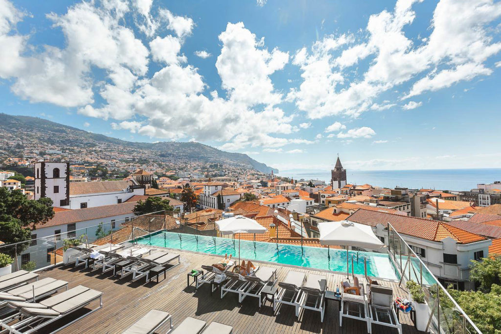
- Best Value: Hotel Alto Lido – Funchal rooftop swimming pool under 100 Euros
- Budget Hostel in Funchal: Santa Maria Hostel is easily the top hostel in Funchal
FAJÃ DO NOGUEIRA LOOP HIKE DETAILS
- Hike Distance: The total distance of my hike was 10.83 kilometers for the loop trail if you begin at the electricity station or if you begin at the bridge it is 20 kilometers.
- Hike Duration: The hike duration was 2.5 hours as it is quite a simple route with only 400 meters of incline.
- Hike Difficulty: This hike is one I would list as moderately difficult for a number of reasons. The levadas and trail are pretty wild. There are lots of landslides in this area so the fencing and pathways are often missing or with big holes. There are many huge drops and lots of places to make one wrong slip and fall a long way. It’s probably not the best route for kids or those who aren’t experienced with staying safe close to edges with a big drop-off.
- Hike Incline: Total incline for the hike was 430 meters.
- My hiking guide: I did this hike with a local guide (also a great friend) called João. He’s lived in Madeira his whole life and knows all of the unique trails (not just the popular ones). This trail requires some local knowledge of the directions so I recommend a guide. Want to contact João to be your guide for this hike or any of the hikes I’ve done on Madeira? You can contact him on Instagram here: João Let’s Hike or by email: [email protected]
- My Strava Map Upload: Fajã da Nogueira loop hike

MY 3 FAVORITE TOURS IN MADEIRA
- Dolphin & Whale Watching: Take a cruise from Funchal to spot Dolphins, Whales and see amazing views of Madeira’s coastline!
- Hike Pico Arieiro to Pico Ruivo: Hike the most epic trail on the island with a qualified guide!
- Level 1 Canyoning Adventure: Rappel down waterfalls in this high-adrenaline experience.
HOW TO GET TO THE FAJÃ DO NOGUEIRA LOOP HIKE
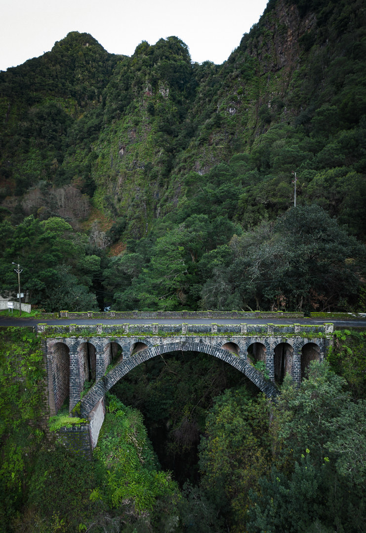
Fajã da Nogueira is actually the site of a huge electricity plant so it is quite easy to find. I’ve added the exact pin location on the map below. There is a beautiful, old stone bridge at the entrance and then four kilometers of gravel road until you reach the electricity plant. However, there is one key factor to keep in mind. If it has been raining or there have been landslides the gravel road may be in such a bad condition it isn’t suitable unless you have a Jeep. Even with a Jeep, if you drive all the way into the electricity plant and there is a landslide or small rockfall while you are there, you could be blocked in.
I’ve done this hike twice. Once in good weather and once in a storm. In the storm, we parked at the bridge and it added four kilometers each way to the hike so a total of eight extra kilometers. In the dry, we drove in a regular little VW car to the electricity plant without an issue. If the weather isn’t great just park at the bridge to be safe.
BEST RENTAL CAR COMPANY ON MADEIRA

When you book your Madeira Rental Car online, I personally recommend and always use Discover Cars. They search for both local and international companies, so you get the best deal! MUST Read: Guide to Renting a Car on Madeira
MY EXPERIENCE ON THE FAJÃ DO NOGUEIRA LOOP HIKE
I hiked the Fajã da Nogueira loop on two separate occasions. The first time it was such a crazy storm and the waterfalls were flowing. However, it was hard to take in the scenery, so I went back on a sunny day to appreciate the views. All of the photos in this blog are from the sunny visit except for the video during the storm.
The hike can either begin at the bridge or the electricity plant as I detailed before. On my first time, we hiked from the bridge, and it was a pretty basic four-kilometer walk along the road to reach the electricity plant. If the road is clear and you are comfortable with the weather you can drive on straight through to the trailhead at the electricity plant.
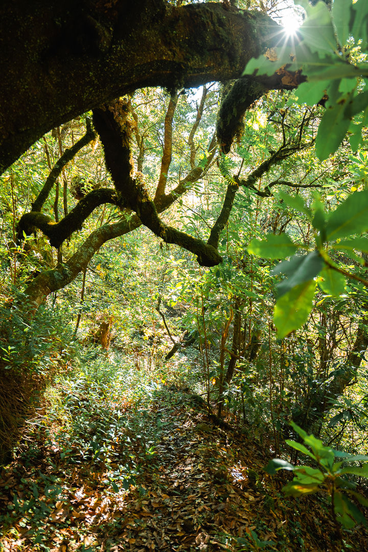
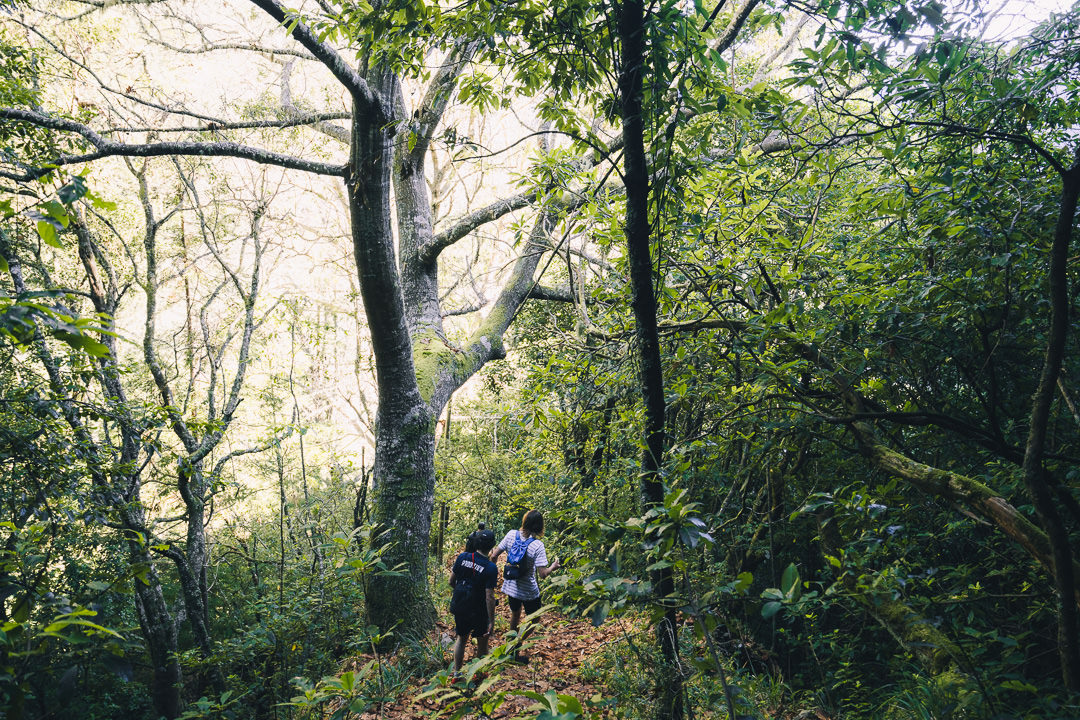
The trail begins just to the right of the plant, there is no set route or signage for this one but you can probably follow my GPS track (linked above) and get a good grip on the route. All of the elevation gain comes in the first few kilometers as you make your way up a number of switchbacks through the dense forest.
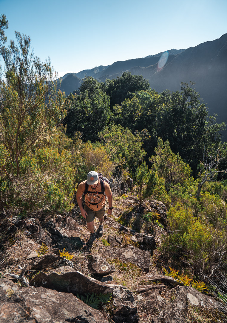
My favorite part of the trail is when you emerge from the forest for the first time by scaling a small section of rocks along the path. Like a bird looking out of the nest, you instantly have incredible views of the surrounding peaks, waterfalls, and the fog rolling through. It’s a relatively safe section but very dramatic.
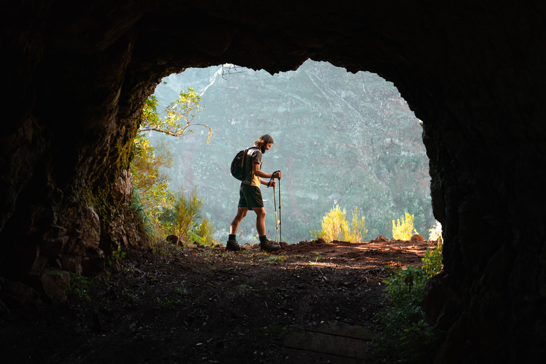
The trail now joins up with Levada do Pico Ruivo, which you will follow around the entire canyon. The route leads you through a series of crumbly tunnels and dilapidated sections of the path. It was beautiful to circle around the entire canyon but it’s important to note that this trail is not maintained very well. Many of the rails are broken, there are a number of sections badly impacted by landslides, and lots of sections with big drop-offs.
You need to be careful on this hike. You don’t need to do any scrambling but it is the level of exposure and the risk of a landslide that is the biggest risk. We had views of the central massif and a unique angle of Pico do Gato. The photos below show the route in sunny weather.

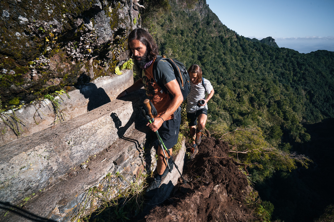
I wouldn’t suggest this hike in the rain but we went for it on a stormy day and survived. What we had in exchange for the risk were some pumping waterfalls. All around the valley in every direction was a waterfall. Within the canyon, they were pouring down across the trail and we got saturated trying to pass underneath all of the different falls. I made this short video from our waterfall hike at on that stormy day at Fajã da Nogueira.
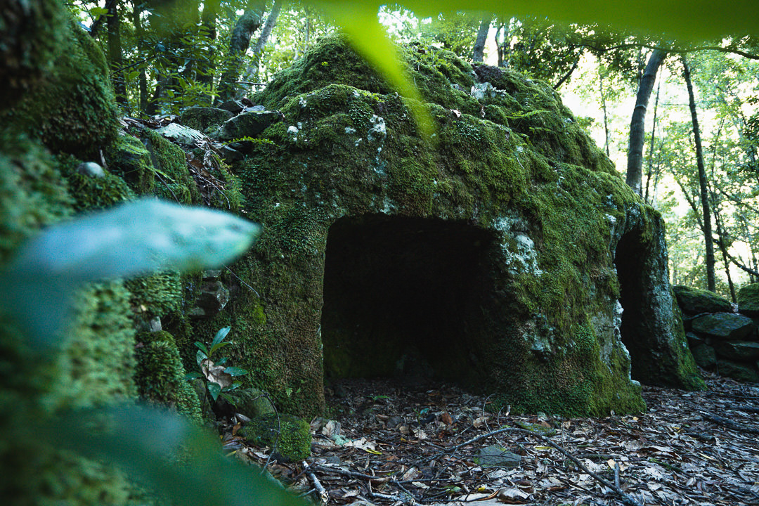
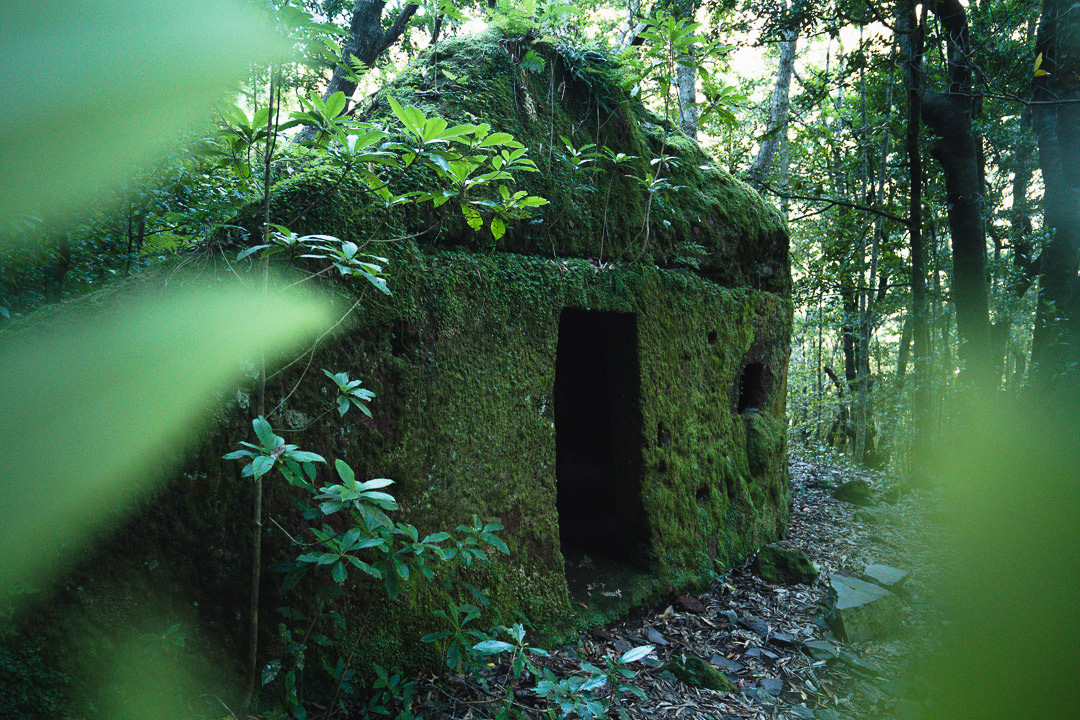
After leaving the canyon and the levada, you will descend through a new section of forest and there is something quite unique to discover. All over Madeira there are ancient ruins but these two ancient houses are very interesting and have been swallowed by the jungle. They are completely covered in moss and look like something from a Tomb Raider movie.

The final descent leads you through the forest and back down to the electricity plant where you began (if you drove in). The total route is 11 kilometers with just over 600 meters so it’s a solid adventure but nothing too taxing. I hope you enjoyed this article about hiking in Fajã da Nogueira, a bit of a unique destination in Madeira.
WONDERING ABOUT WHERE TO STAY ON MADEIRA?
Throughout my six months on Madeira Island, I stayed in multiple accommodations. My favorite regions to stay in were Funchal and Canico de Baixo. I’ve created several guides to help you find the right region for you and a great hotel or apartment.
- The ultimate guide: WHERE TO STAY ON MADEIRA: WHICH REGION IS RIGHT FOR YOU?
- If you want luxury: BEST 5-STAR LUXURY HOTELS ON MADEIRA ISLAND
- To feel at home: TOP 10 BOUTIQUE HOTELS ON MADEIRA ISLAND
- If you want to base in Funchal: WHERE TO STAY IN FUNCHAL: 15 TOP-RATED HOTELS
HAVE YOU READ MY OTHER MADEIRA BLOGS?
I spent six months exploring Madeira and the nearby island of Porto Santo. These are some of my most popular guides about the region that you may be interested in.
- My favorite hikes: 65 AWESOME HIKES ON MADEIRA
- My favorite levada walks: 25 BEAUTIFUL LEVADA WALKS ON MADEIRA
- The best waterfalls on the island: 25 EPIC WATERFALLS ON MADEIRA
- Guide to the best Accommodation: WHERE TO STAY ON MADEIRA
- Hardest hike: THE MADEIRA ISLAND ULTRA TRAIL IN 4 DAYS (115KM)
- Longest hike: CAMINHO REAL 23: MADEIRA’S ROYAL PATH (180KM)
