
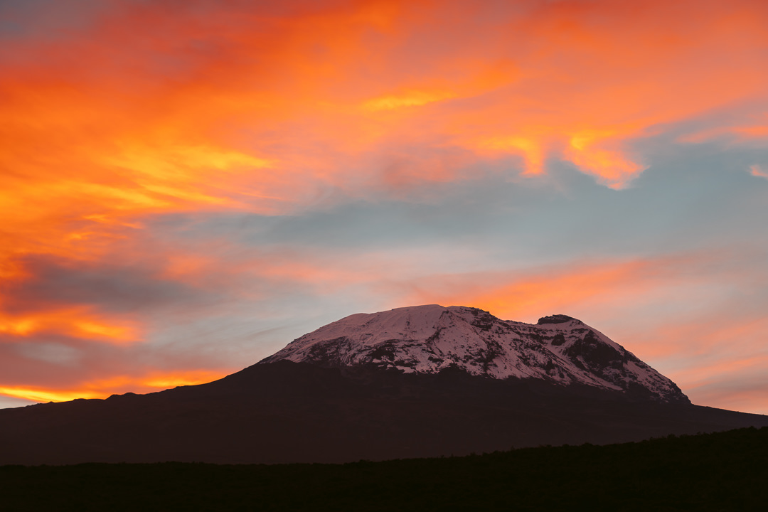
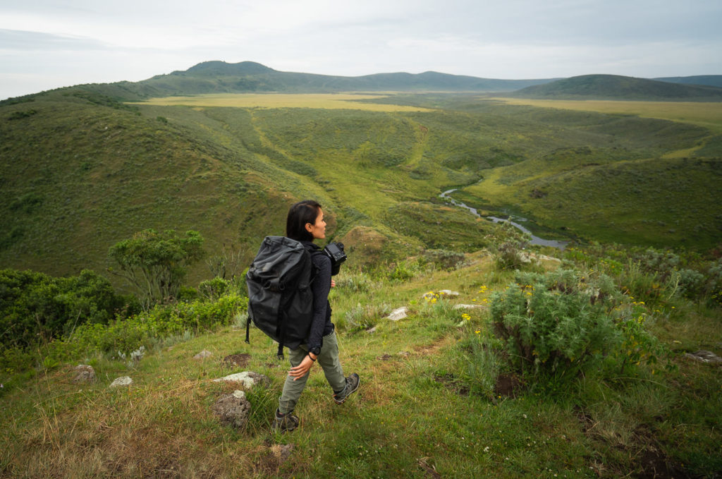
Tanzania is a famous trekking and hiking destination, known for being home to Africa’s highest mountain, Kilimanjaro. Standing at 5,895m, Mount Kilimanjaro attracts trekkers from around the globe who attempt to reach the ‘Roof of Africa’. It’s an amazing trek (and a bucketlist achievement) but most tourists don’t know that there are many other awesome hikes in Tanzania. With so many mountain ranges throughout Tanzania, there are plenty of different hikes to explore.
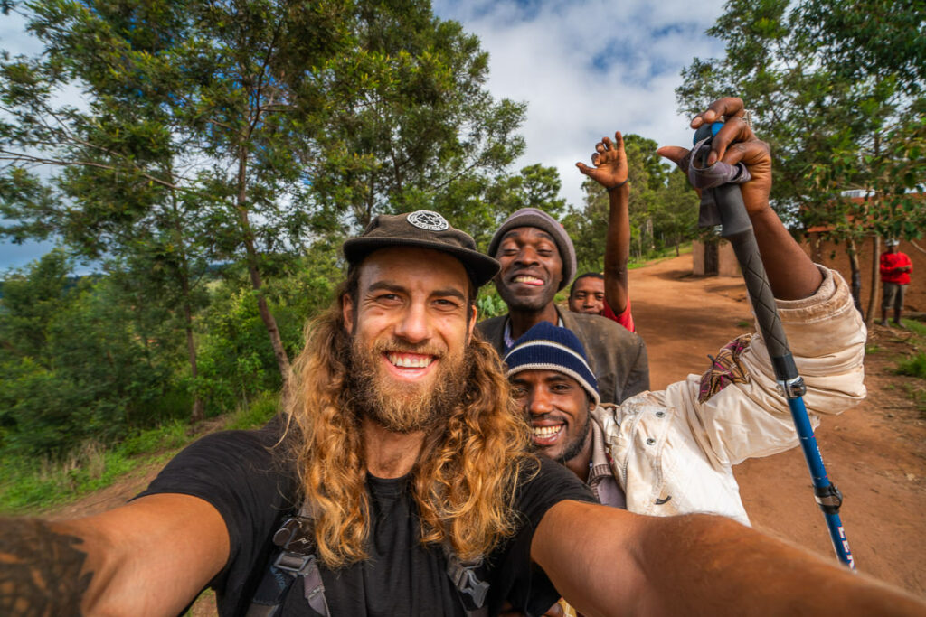
I personally spent two months hiking and trekking in Tanzania. It wasn’t always easy and I put in a lot of work to organize the logistics to these adventures. I started with Mount Kilimanjaro and then headed to Mount Meru before exploring the other lesser-known hikes in Tanzania.
BEST TOUR COMPANY FOR TANZANIA
Are you interested in traveling to Tanzania or trekking up Mount Kilimanjaro?
I did all of my tours, treks and trips in Tanzania with Altezza Travel and you can too! Use code ‘JACKSON5’ when booking for a 5% discount.
THE TANZANIA HIKING GUIDE
In this guide, I will share with you the list of all the different hikes in Tanzania. I’ve written a very detailed article about each hike so you can click the link below any of these sections to visit the individual blog post about that specific hike.
I hope that while reading this article, you spot some mountains in Tanzania that catch your eye and you do some additional trekking in Tanzania before or after your Mount Kilimanjaro adventure. One thing I learnt is that sometimes the best experiences aren’t always found in the highest mountains of Tanzania.
TOP 3 PLACES TO STAY IN ARUSHA
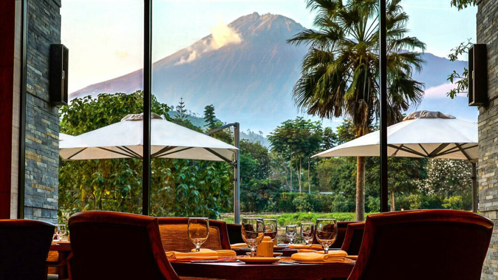
- Most Luxurious: Gran Melia Arusha – Incredible view of Mount Meru and premium 5-star luxury.
- Where I stayed on a budget: Wakawaka Hostel– Cheap, great location and chill vibes
- Best value place to stay: Tulia Boutique Hotel & Spa – very cheap price but has pool and high quality facilities and rooms.
TANZANIA TOUR COMPANY I TREKKED WITH
I did almost every single one of my treks, tours, safaris, and transfers with Altezza Travel. The guides and drivers were always well trained and on time with high-quality gear. They offer a wide range of tours, treks, and activities including climbing Mount Kilimanjaro. If you book any safari, tour, or trek with Altezza Travel and use my code JACKSON5, they will give you a 5% discount on the entire tour price.
14 BEST HIKES & TREKS IN THE MOUNTAINS OF TANZANIA
BEST KILIMANJARO TREKKING COMPANY
Are you interested in traveling to Tanzania or trekking up Mount Kilimanjaro?
I did all of my tours, treks and trips in Tanzania with Altezza Travel and you can too! Use code ‘JACKSON5’ when booking for a 5% discount.
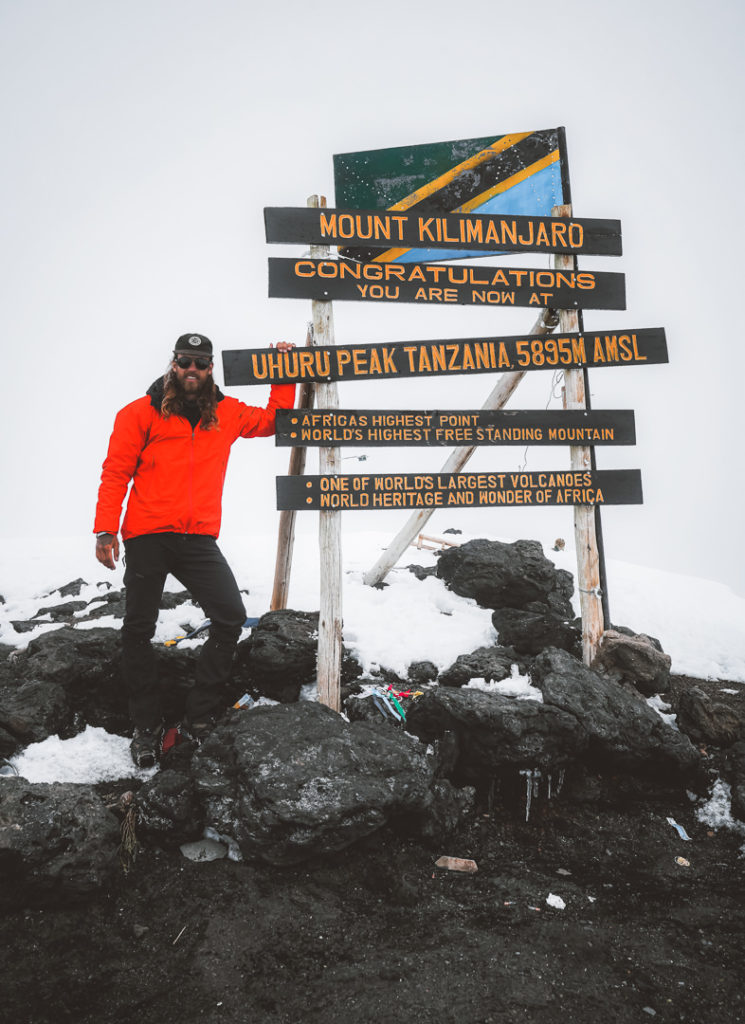
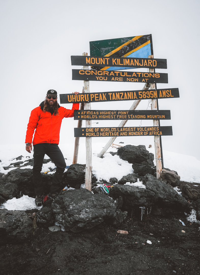
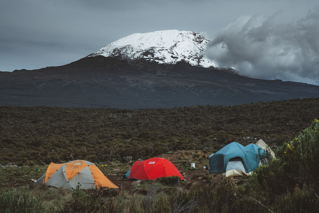
MOUNT KILIMANJARO TREK
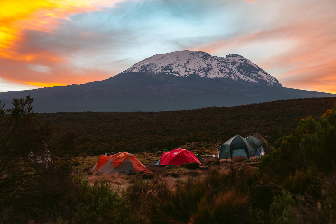
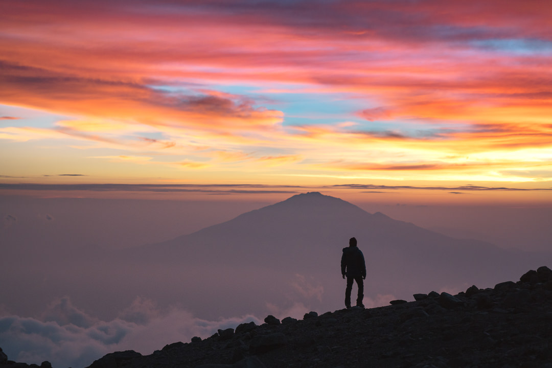
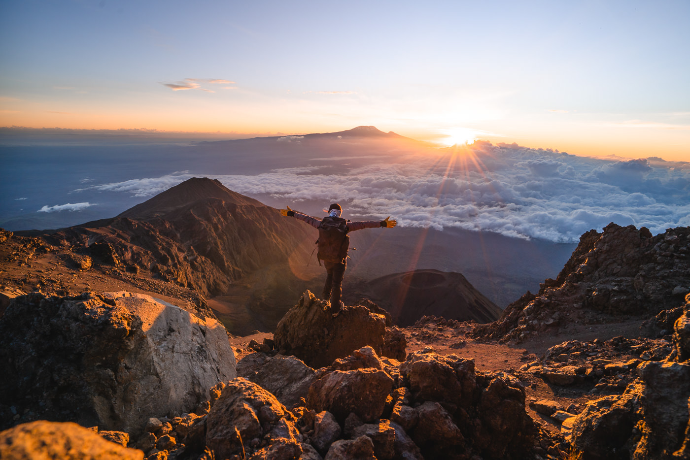
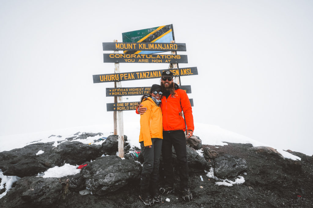
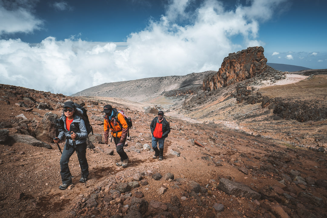
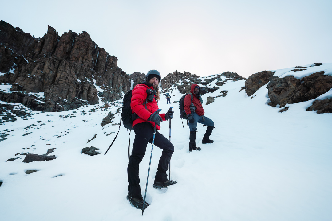
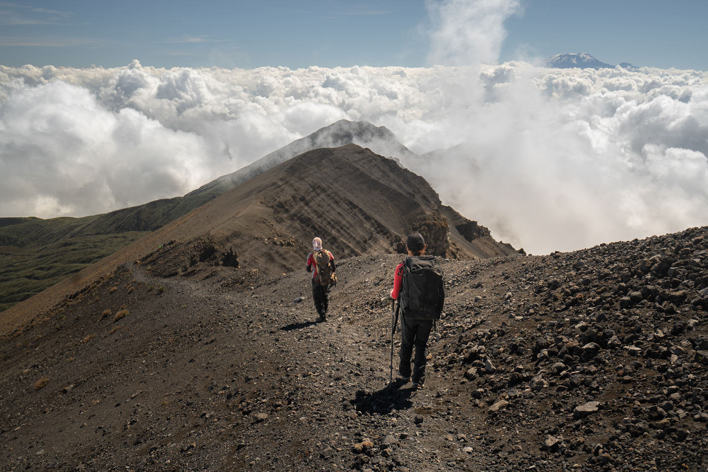
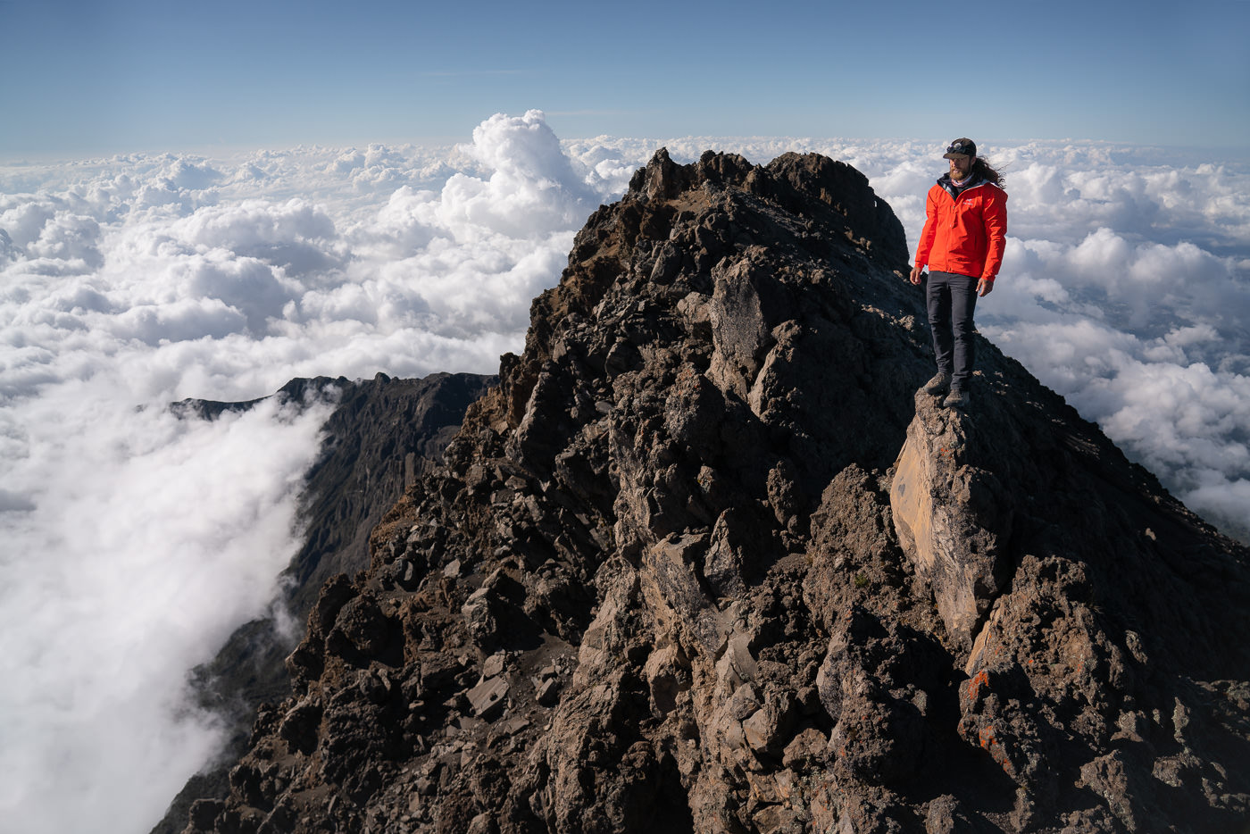
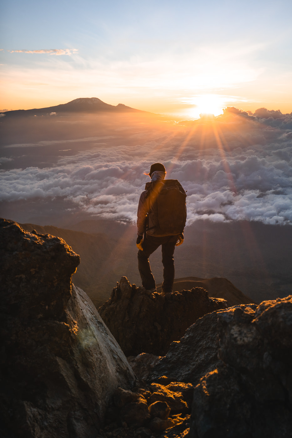
Mount Kilimanjaro is, without a doubt, the drawcard of hiking in Tanzania. At 5,895m in altitude at the summit of Uhuru Peak, it is the highest point in Africa. The climb is non-technical, which makes the ascent possible for regular trekkers who are up for a challenge. While many people may use the word climb, it is a hike or a trek.
The trek can take 5-10 days depending on the route you choose. With more than eight different possibilities and routes to the top, trekkers need to consider the acclimatization profile, scenery, terrain, and cost when selecting which path to the summit they will attempt.
BOOK YOUR MOUNT KILIMANJARO TREK: Use code JACKSON5 to book your Mount Kilimanjaro trek with Altezza Travel you will receive a 5% DISCOUNT off your total booking fee (I did most of my treks with Altezza)
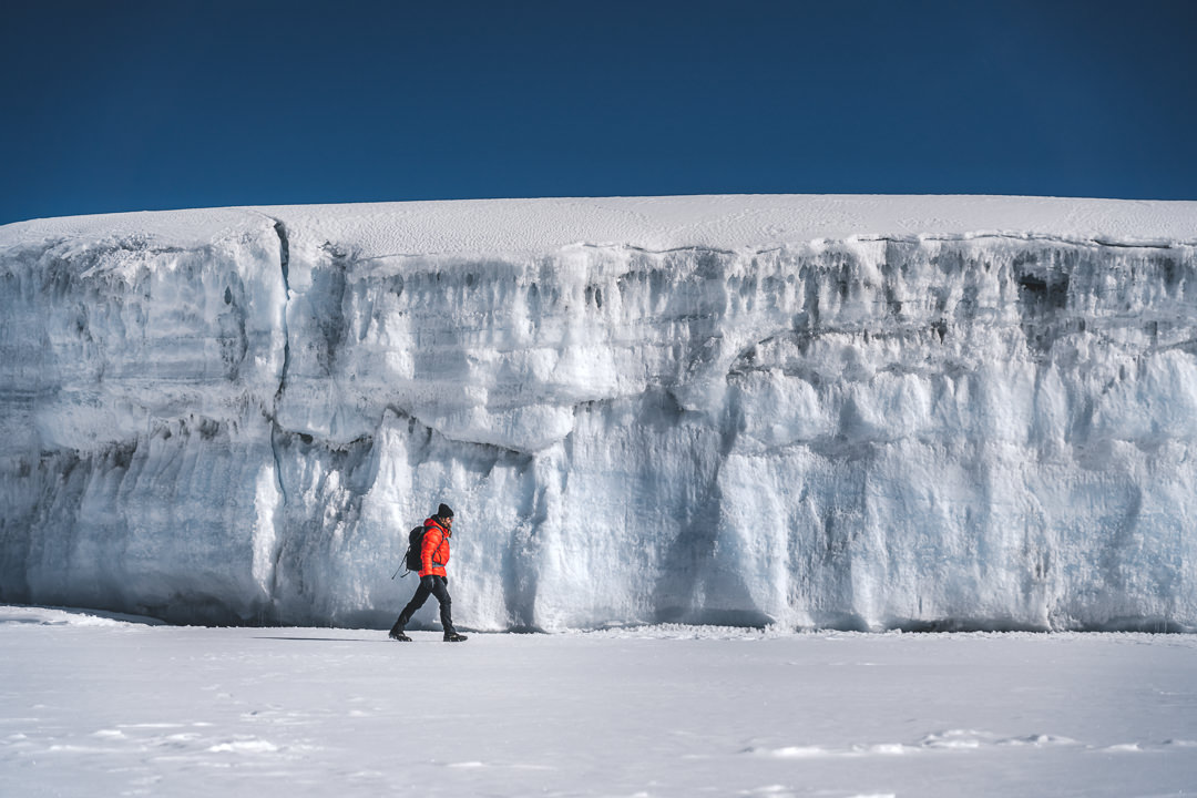
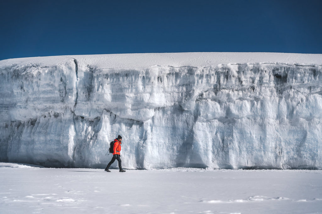
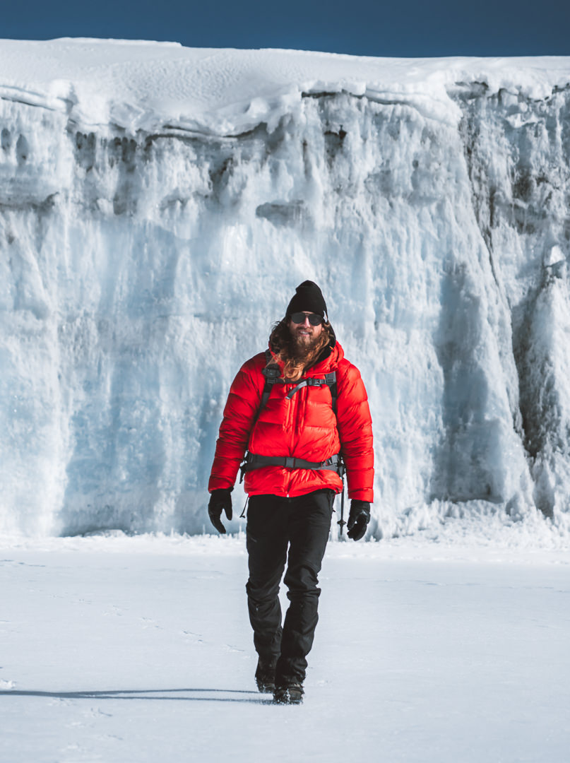
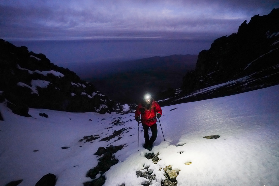
I did the Western Breach route, which is known to be the most scenic but also the most adventurous. The summit day involves scaling a snowy wall directly to crater camp. Even though it can sound dangerous, it is a non-technical climb although we did use crampons.
The other routes are still beautiful but the views towards Mount Kilimanjaro from the east, where the Western Breach via Lemosho trail begins, are just unbeatable. My trek was nine days and was an incredible journey and something I would definitely recommend.
Due to being the ‘Roof of Africa’, it is part of the Seven Summits list. Mountaineers trying to reach the highest point on every continent often begin with Mount Kilimanjaro as it is known to be one of the easiest of the seven peaks, which includes Mount Everest.
READ MY FULL BLOG POST: CLIMBING MOUNT KILIMANJARO: THE WESTERN BREACH ROUTE
MOUNT KILIMANJARO TREK DETAILS (WESTERN BREACH)
Alright, it’s time to get into the list of the 14 Hikes in Tanzania that I explored in my two month journey around the country.
- Distance: 64 km
- Days required: 9 days.
- Total Incline: (Undulation) – 5,434m/17828ft
- The highest point on the trek: Uhuru peak is 5,895meters above sea-level.
- Difficulty: It’s hard for an average hiker but the altitude is definitely more difficult to manage than the distance with several rest days and acclimatization days. It is achievable for those with decent fitness even without climbing or trekking experience.
- Cost per trek: The costs range from $1600 to $6000 depending on the size of your group and your support crew including rangers, guides, porters and a chef.
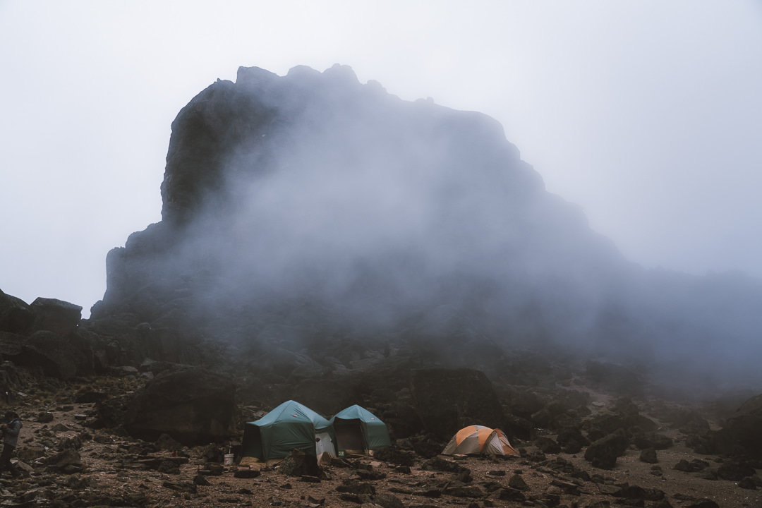
- Accommodation: The entire Western Breach/Lemosho route is camping. The tents will be carried by your porters in most cases.
- Who to book the trek with: I booked my trek with Kiliwarriors and I can honestly say they were awesome. Our guides were the most organized, our food was incredible (other hikers looked jealous) and we were looked after from start to finish.
- My Mount Kilimanjaro Strava Map: Western Breach Route

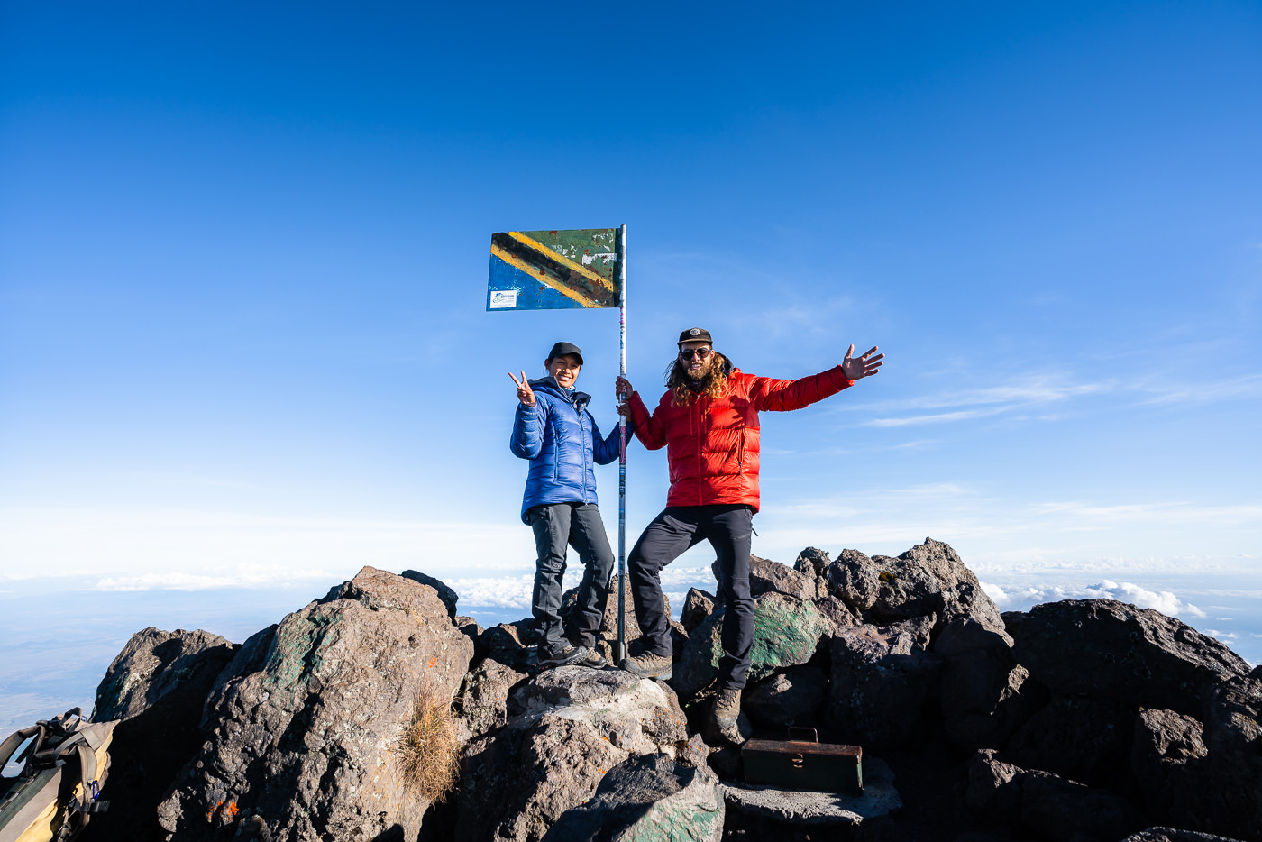
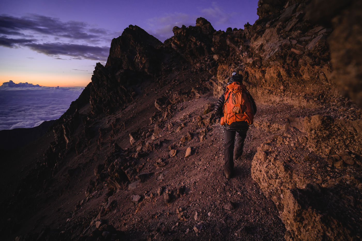
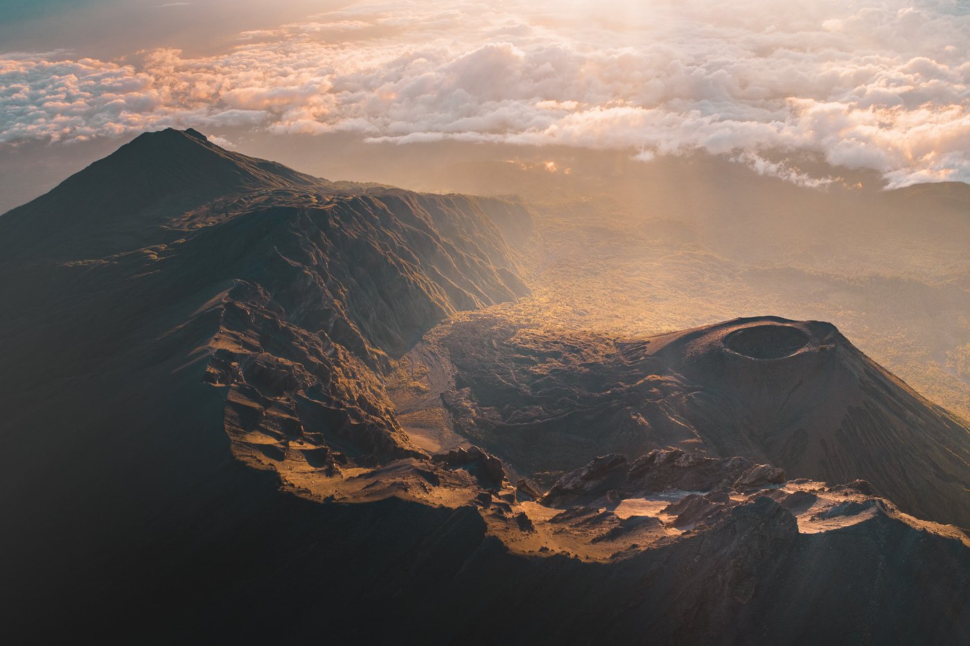
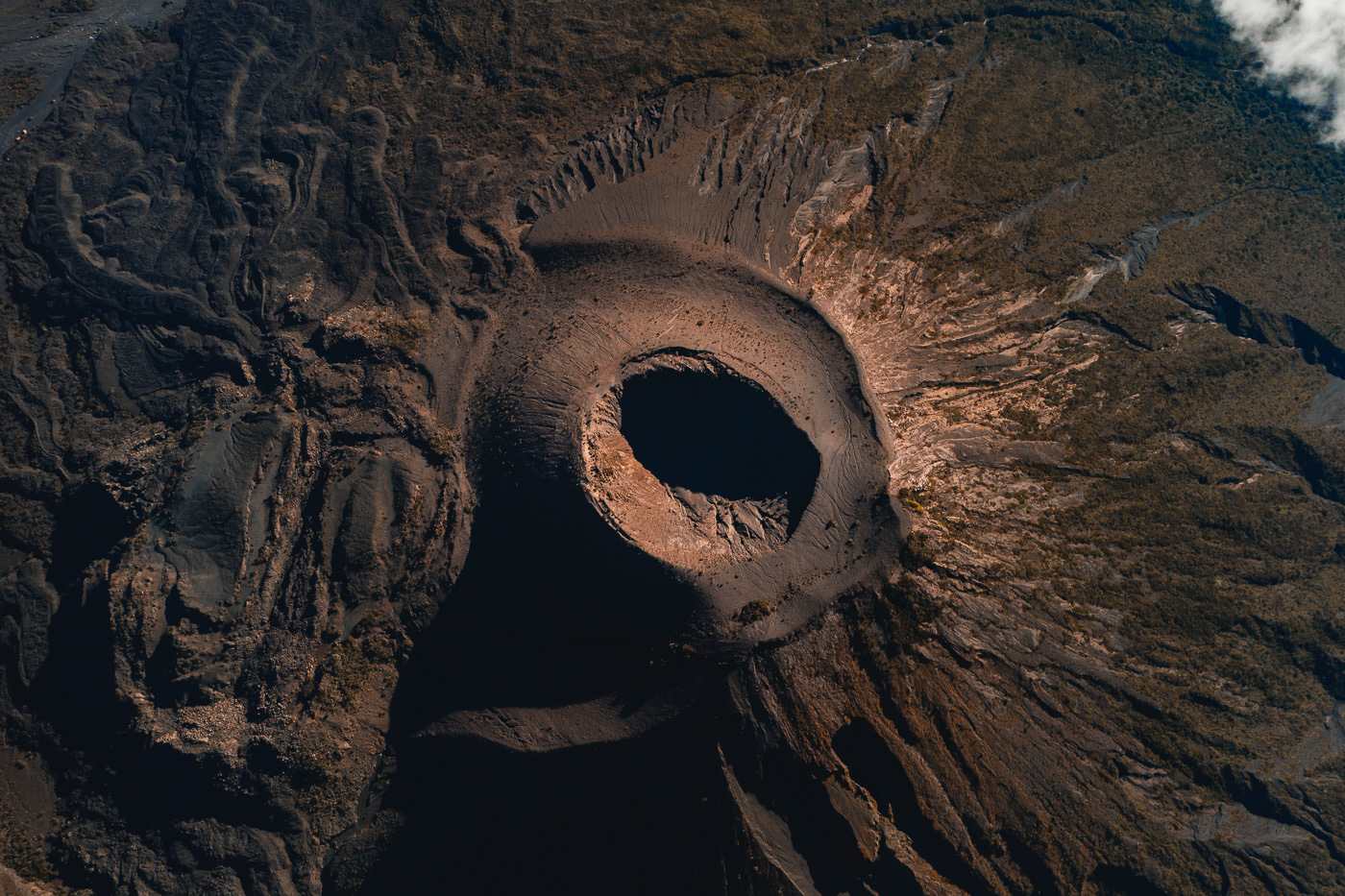
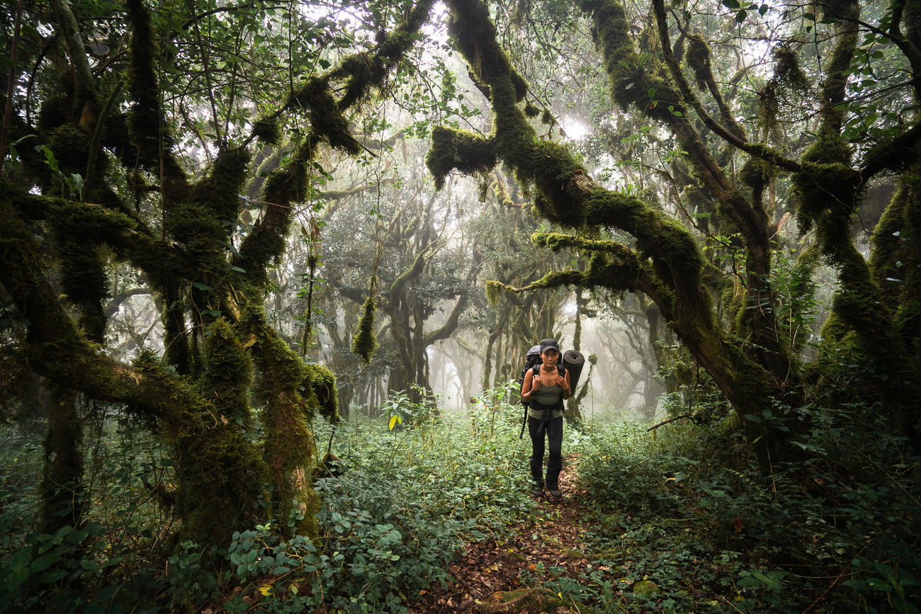
MOUNT MERU TREK
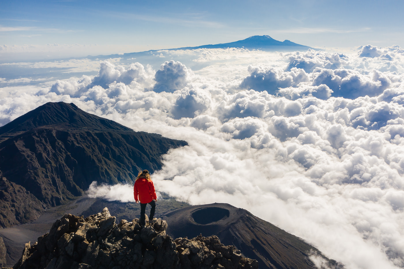
The little brother of Mount Kilimanjaro is often overlooked and brushed aside. Despite being the second-highest mountain in Tanzania at 4,566m the climb up Mount Meru is considered an alternate adventure. Having now summited both Meru and Kili, I can tell you it’s worth adding a Mount Meru climb to your itinerary as it was one of my favorite hikes in Tanzania.
BOOK YOUR MOUNT MERU CLIMB: I did my Mount Meru Climb with Altezza Travel and they were Amazing. Our outstanding food had the other hikers jealous and we made a successful summit with our guides. If you want to book with Altezza Travel, they offer a 5% discount to my readers when you use the code JACKSON5 to book your trek.
After an incredible summit morning, I remember thinking Mount Meru must be one of the most underrated treks in the world. It had it all. Adventure, fun mountain huts along the way, and uniquely breathtaking views and scenery from the summit of the ash cone and crescent volcano crater.
The trek begins through lush green forest and plains where you can spot zebra, warthogs, giraffes, and buffalo while Leopards are hiding in the trees. The trail progresses through the heather zone before reaching the volcanic crater rim, where you feel as if the scenery is from another planet. Looking down into the crater to see the ash cone is a surreal moment and a highlight of the trek.
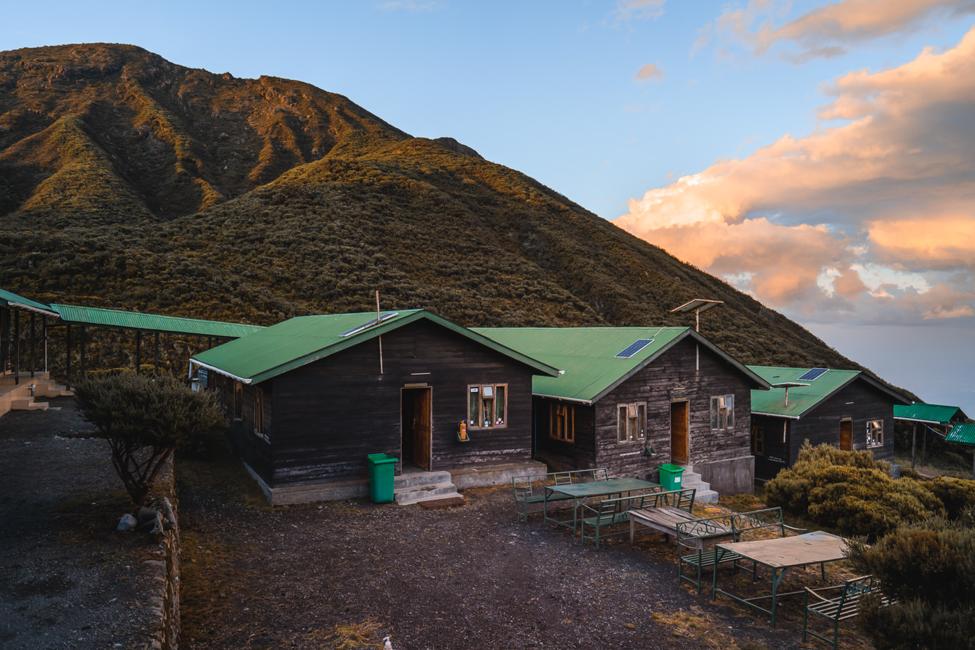
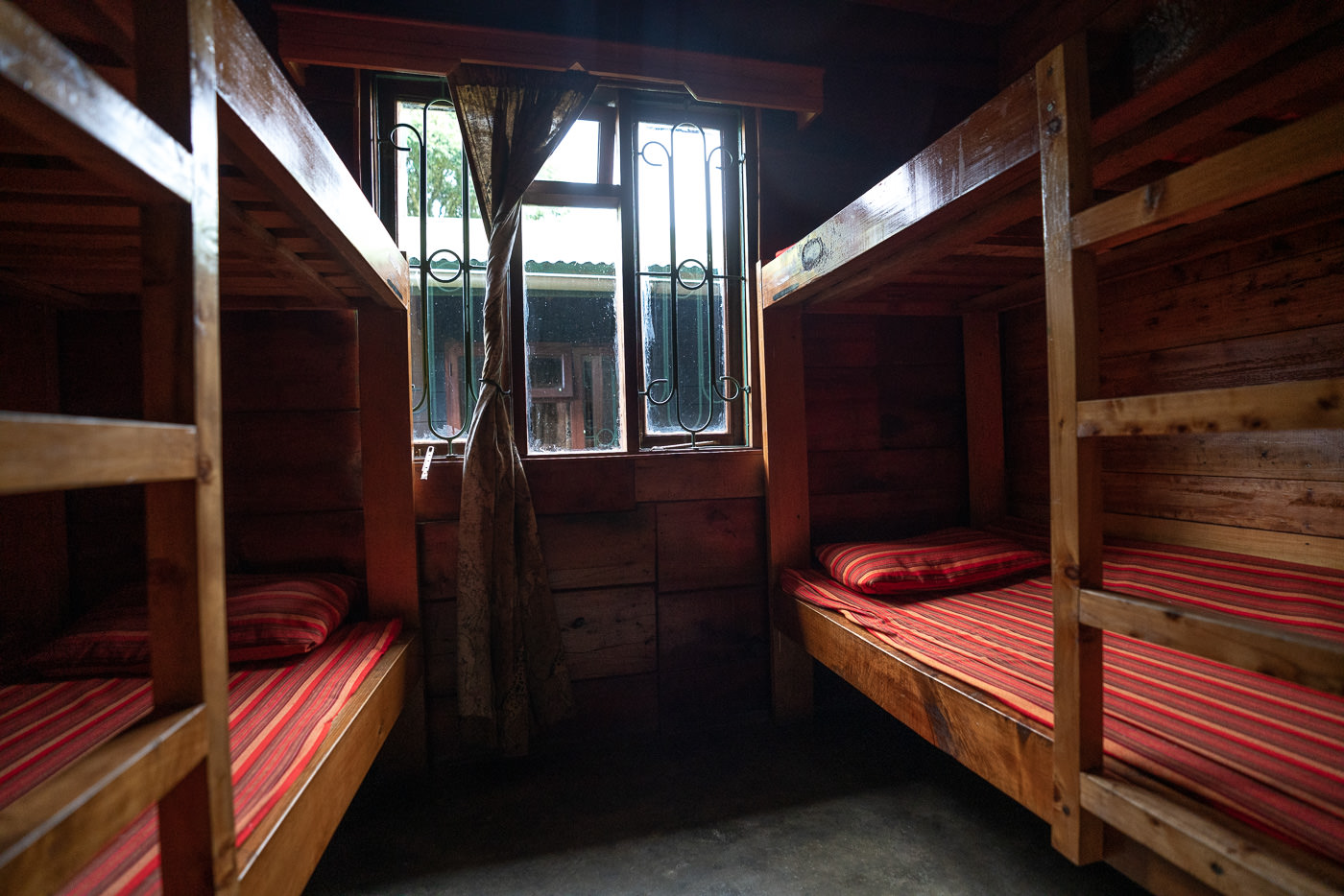
The journey takes 3-4 days and along the way you stay in two mountain huts, which are equipped with dorm-style rooms, a dining hall, and toilet blocks. The cost of Mount Meru is far less than Mount Kilimanjaro and the views are equally as epic so it is a great alternate option if you can’t quite afford the Mount Kilimanjaro trek.
READ MY FULL BLOG POST: MOUNT MERU CLIMB IN TANZANIA
- MOUNT MERU TREK DETAILS
- Distance: 43 km round-trip from Momella Gate to Summit and back.
- Days required: 3-4 days.
- Total Incline: (Undulation) – 3,480m/11417 ft
- The highest point on the trek: Mount Meru peak is 4,566 meters above sea-level.
- Difficulty: It’s moderately hard for an average hiker but spread out over four days it is well within most people’s reach. The altitude is just low enough not to trouble most hikers.
- Cost per trek: The costs (including permits and fees) range from $800 to $1400 depending on the size of your group and your support crew including rangers, guides, porters, and a chef.
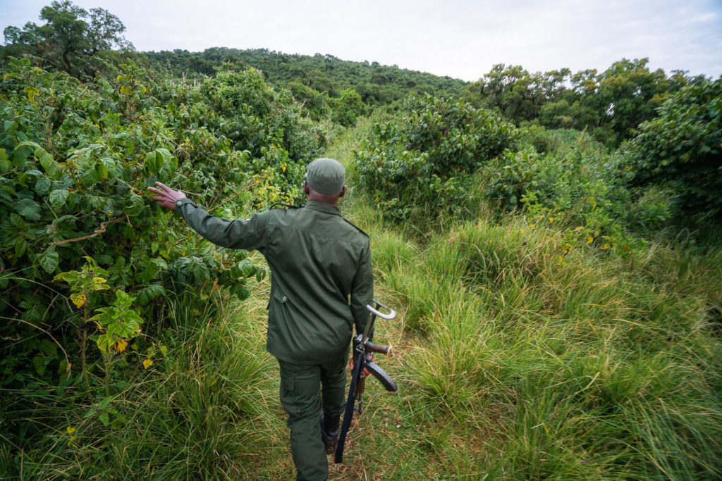
- Guide: You do need a ranger for the trek as it is required for protection from wildlife like buffalo and leopards. A guide is also the norm on this trek due to hiking the summit route in the dark. There are no signs on the trail and the guides are invaluable. Porters and a chef are also part of most tour packages.
- Accommodation: There are two mountain huts on the route, which have dorm-style beds, toilets, dining hall, solar electricity, and kitchens.
- Who did I trek with: I booked my trek with Altezza and I can honestly say they were awesome. Our guides were the most organized, our food was incredible (other hikers looked jealous) and we were looked after from start to finish.
- My Mount Meru Strava Map: Mount Meru Route
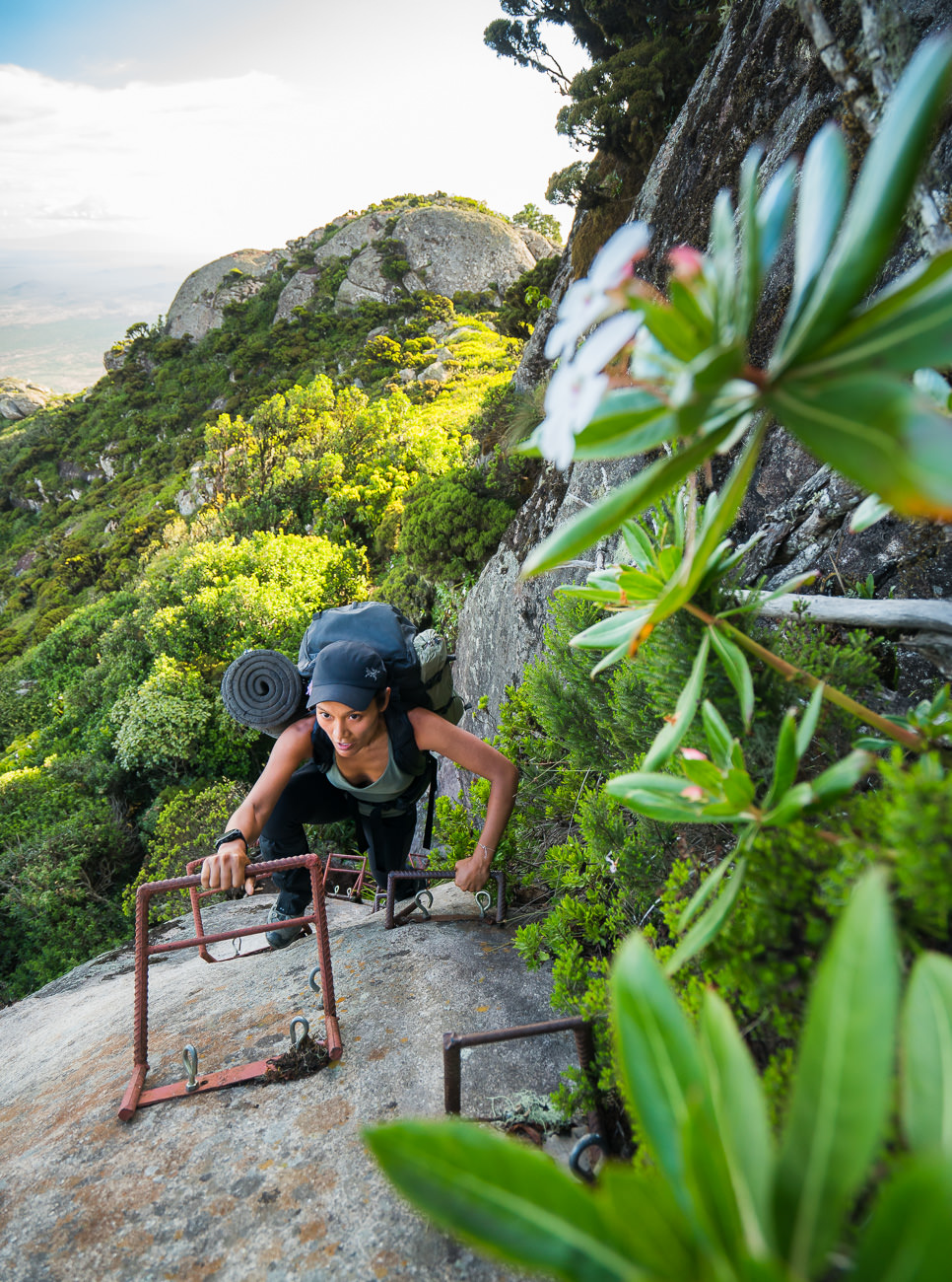
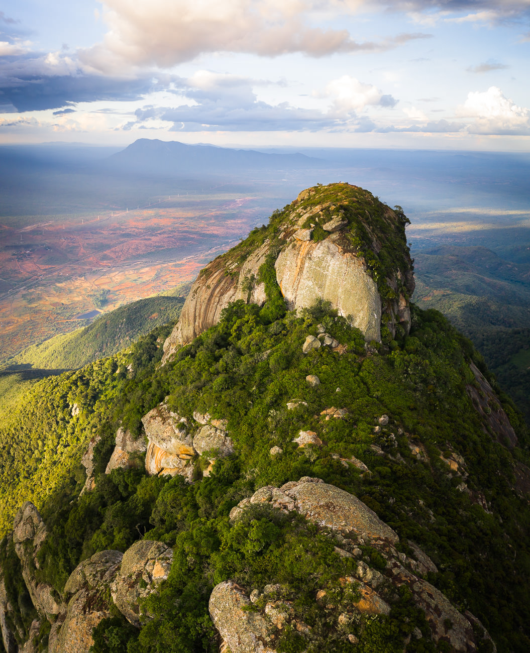
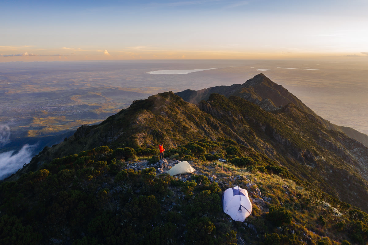
MOUNT LONGIDO HIKE
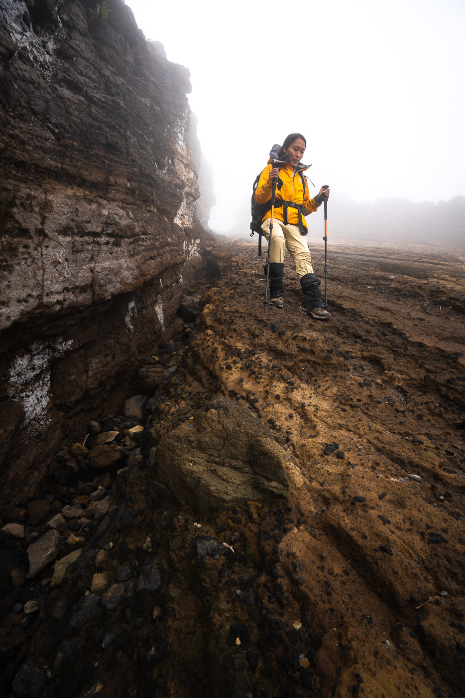
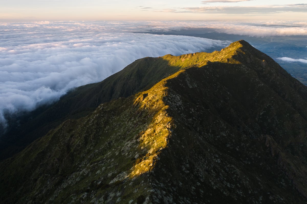
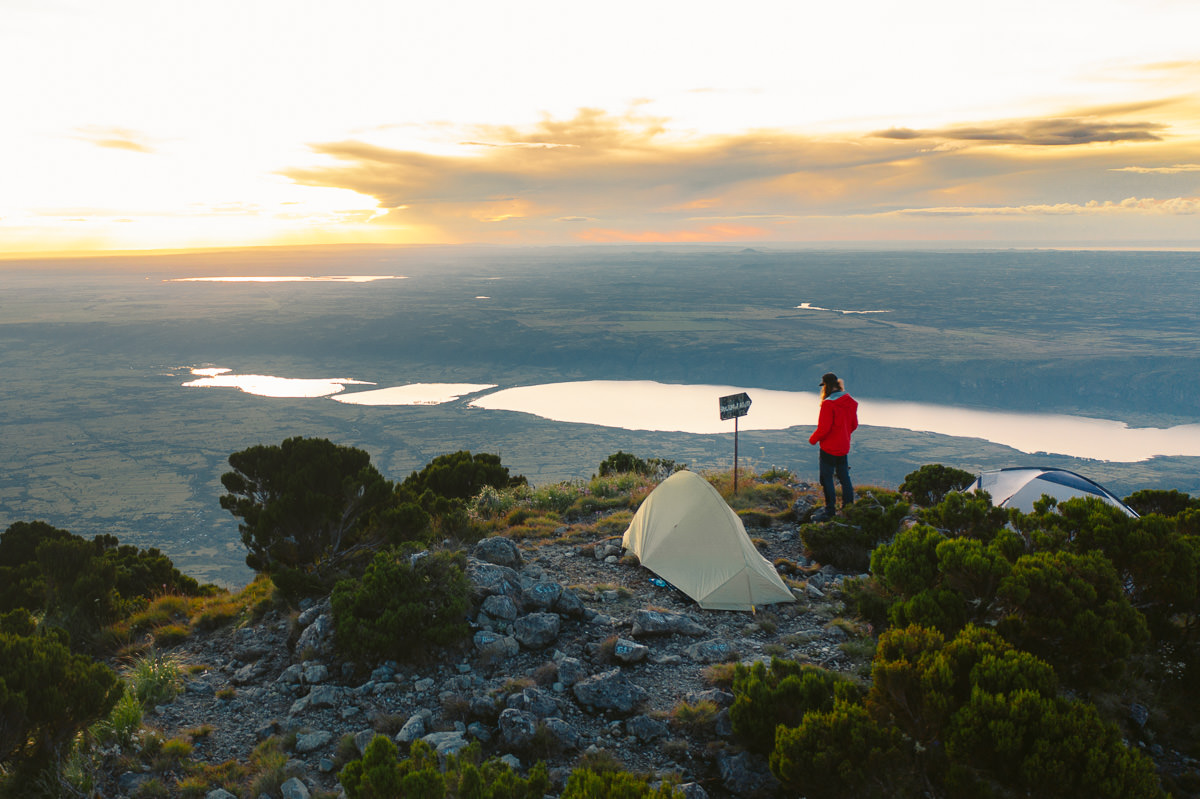
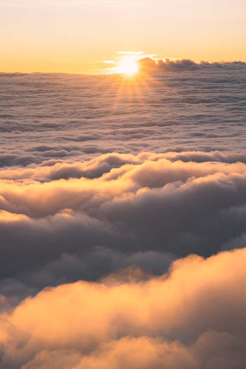
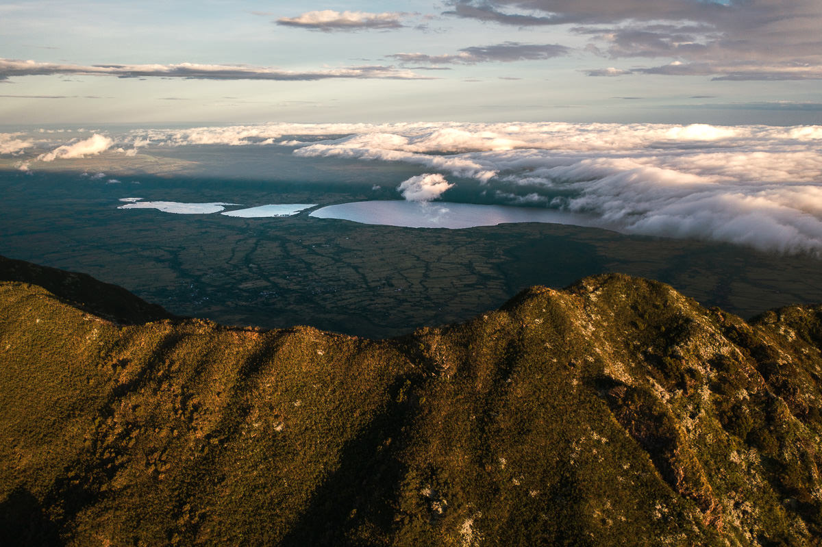
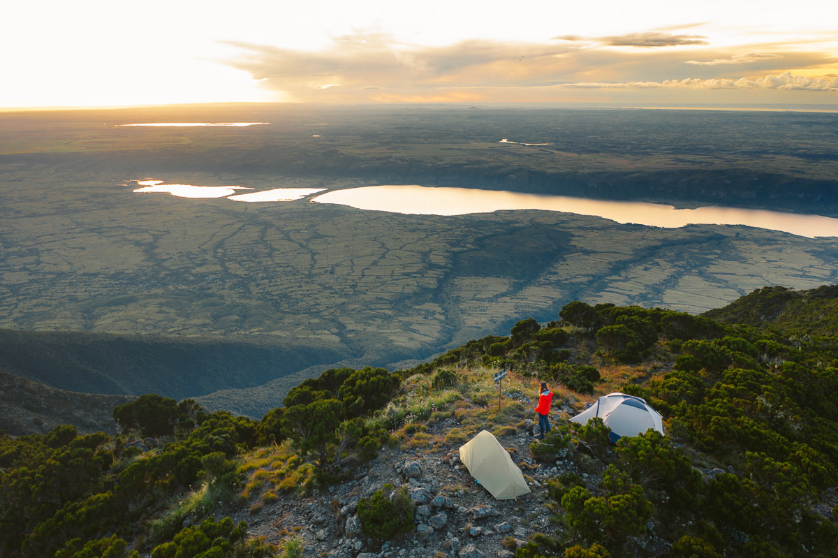
Mount Longido is a rocky peak (2,629m) in the Mount Longido Forest Reserve about a 1.5-hours drive from Arusha. The climb is pretty demanding and steep with more than 1300 meters of incline to ascend through the forest to reach the summit. With lots of sun exposure and no drinking water available along the route, this is one of the tougher hikes in Tanzania
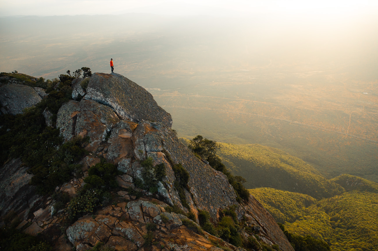
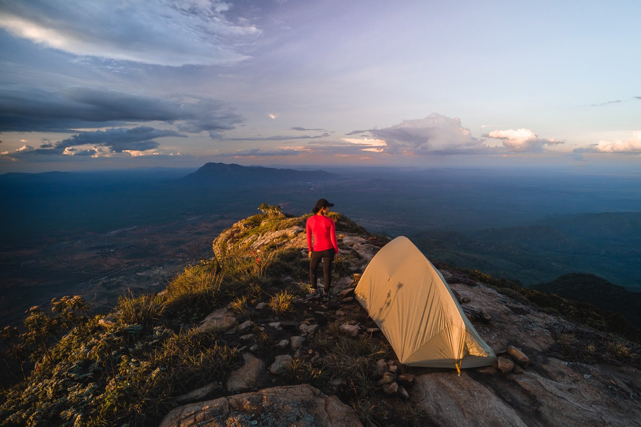
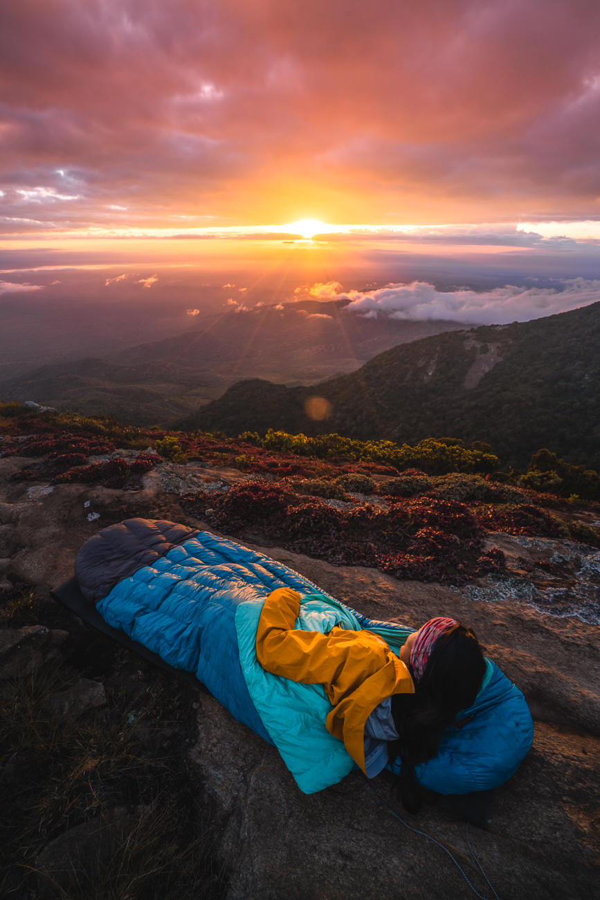
I camped at the summit, carrying all my equipment, water, and food for the journey. The sunset and sunrise were truly incredible above the clouds as we looked towards Tanzania on one side and Kenya on the other.
This was one of my favorite hikes in Tanzania with a pretty grueling incline, especially when you are carrying your camping equipment. It’s definitely one fore those who love off-the-beaten-path adventures as this hike isn’t super popular. From walking through the mystical forest to enjoying sunrise and sunset at the rocky summit, it was an epic two days worth all of the effort to get to Longido.
READ MY FULL BLOG POST: MOUNT LONGIDO HIKE
MOUNT LONGIDO HIKE DETAILS
- Hike Distance: The total distance of the hike is 13.5km out and back (return trip)
- Hike Duration: This depends a lot on your speed and how much gear you are carrying. The ascent can be completed in about 5 hours and the descent can be completed in about 3 hours. This obviously depends on your ability to hike uphill with gear.
- Our total moving time was just five hours and twenty minutes according to the Garmin, which doesn’t count any rest breaks or stops. We left at 1 pm and made it to the summit just after 5 pm in time for sunset and then the next morning took about 2-3 hours to slowly hike down with a nice big break at leopard rock.
- Hike Difficulty: This trail is quite difficult due to the extreme incline. In 6.5 kilometers you will ascend more than 1300 meters and this is done at elevation. The hike will reach 2,629m by the time you are at the summit so expect to be short on breath. The terrain is rocky, dusty, and quite overgrown.
- There are many sections where you will need to be sure-footed but not any big drop-offs or moments of exposure. Basically, if you can handle the incline, heat, and being amongst bushes you are all set for this one.
- Hike Incline: 1380 meters.
- My Strava Map Upload: Mount Longido
OL DOINYO LENGAI

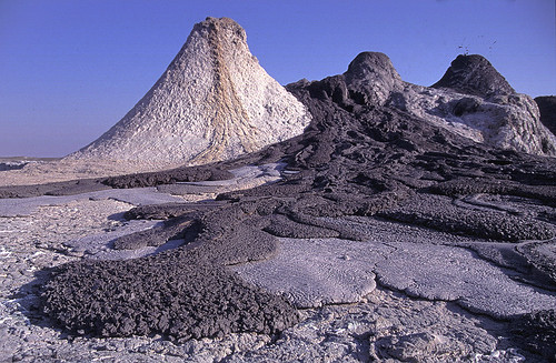
Ol Doinyo Lengai, also known as ‘Mountain of God’ in the Maasai language, is the only active volcano in Tanzania and the third highest peak in the country. Located in the Gregory Rift, which is just south of the nearby Lake Natron in the Arusha region of Tanzania.
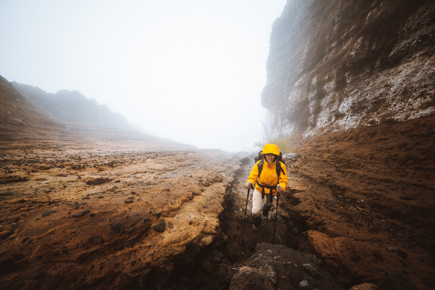
The volcano is a popular hiking destination for those looking for a unique challenge. It’s one of the steepest hikes I’ve done in my life with 1600m of elevation in just five kilometers. The peak reaches 2,962m and is an interesting geological destination with the carbonatite rock derived from magma, a unique feature in this region.
The hike takes anywhere from 6-10 hours and the summit attempt often begins in the middle of the night to reach the peak of the volcano. This early start is to enjoy the sunrise from the summit and to avoid the harsh heat of the region, which can often reach 50 degrees celsius.
BOOK YOUR OL DOINYO LENGAI CLIMB: I did my Ol Doinyo Lengai climb with Altezza Travel and it was an incredible trip. If you want to book with Altezza, they offer a 5% discount to my readers when you use the code JACKSON5 to book your trek.
READ MY FULL BLOG POST: CLIMBING OL DOINYO LENGAI
OL DOINYO LENGAI HIKE DETAILS
- Hike Distance: The total distance of the hike is 11.2km out and back (return trip)
- Hike Duration: This depends a lot on your speed and it can range a lot due to the extreme slope and terrain. The hike can be completed in about 6-12 hours depending on how long you spend at the summit and your hiking pace.
- Our elapsed time was 11 hours but we spent four hours waiting for good weather conditions and had lots of breaks. Our actual moving time was just 5.5 hours as we had a decent hiking pace. Our guide told us he took an 80-year-old up the summit and it took 20 hours round-trip.
- Hike Difficulty: This trail is quite difficult due to the extreme incline. In just five kilometers you will ascend more than 1600 meters and this is at elevation. The hike will reach 2960m by the time you are at the summit so expect to be short on breath. The other difficulty factors are that you will probably begin at midnight or early so hiking without sleep is tough.
- At the summit it can be freezing so there are also weather factors to consider. It’s short, which means it is mostly a mental battle and most people are capable of achieving it at their own pace. Give yourself a chance and have a ‘no-quit mentality and you will make it I’m sure.
- Hike Incline: 1600 meters.
- My Strava Map Upload: Ol Doinyo Lengai Hike

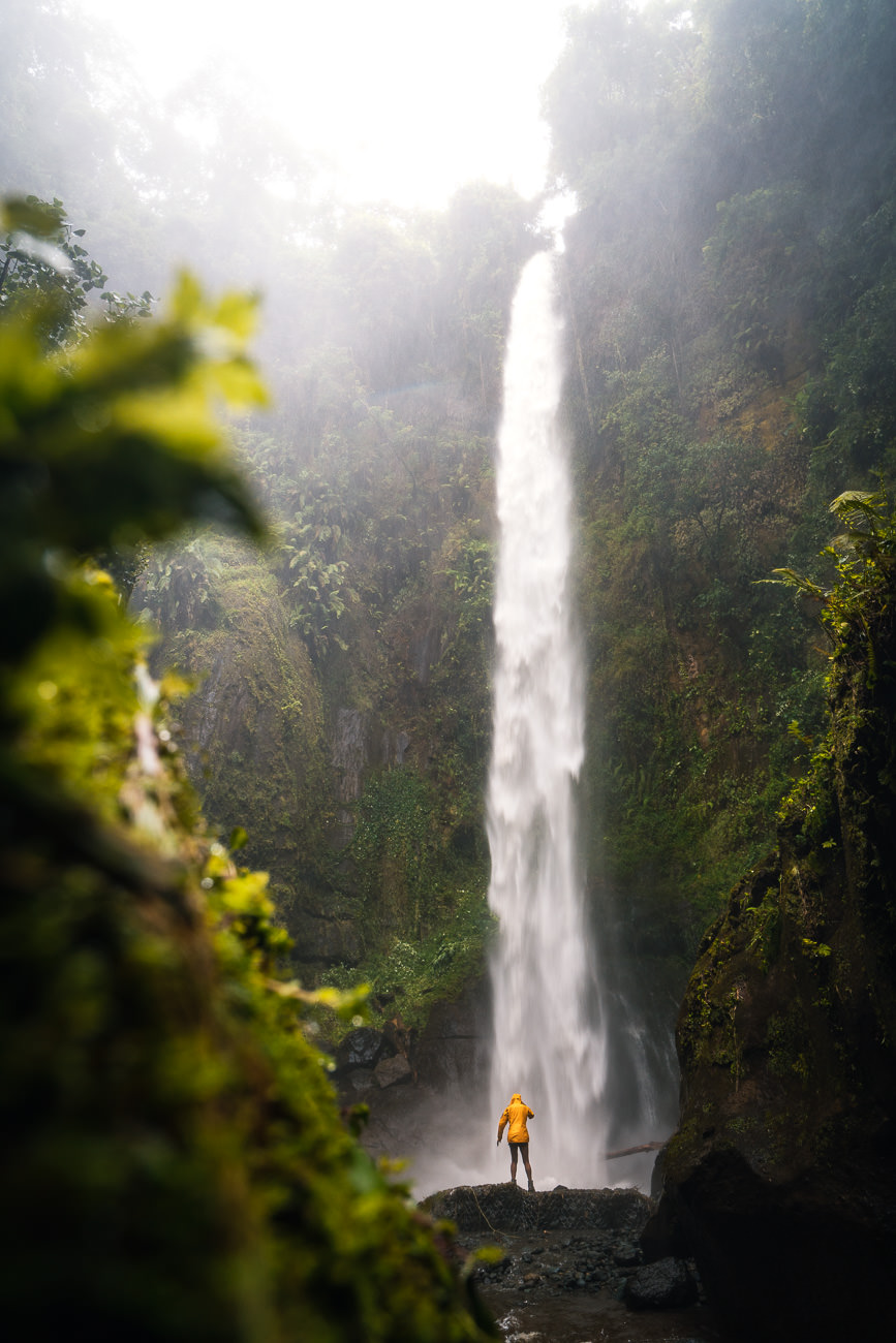
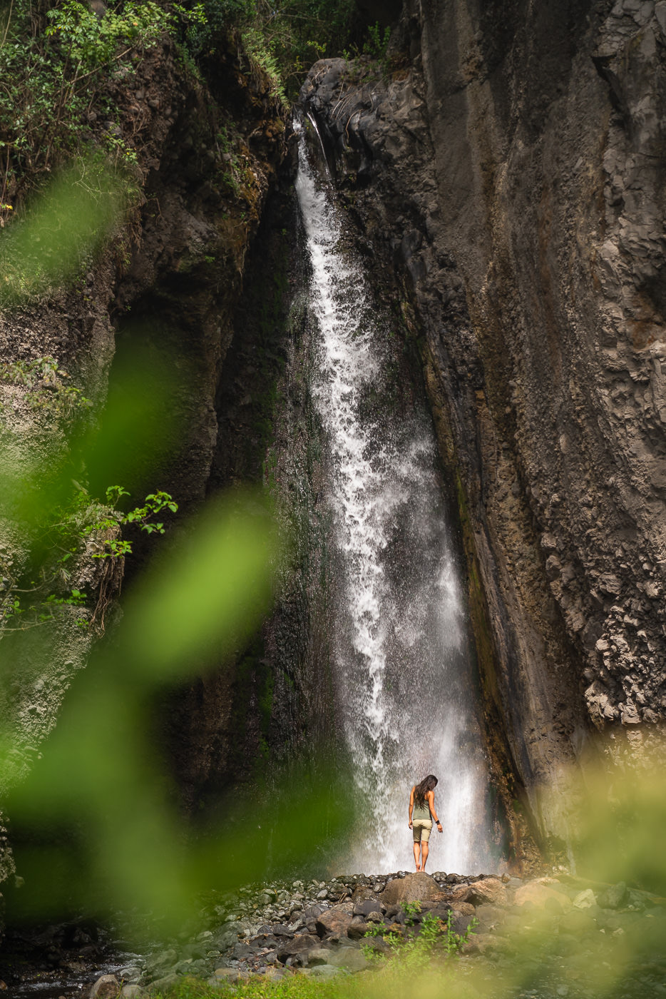
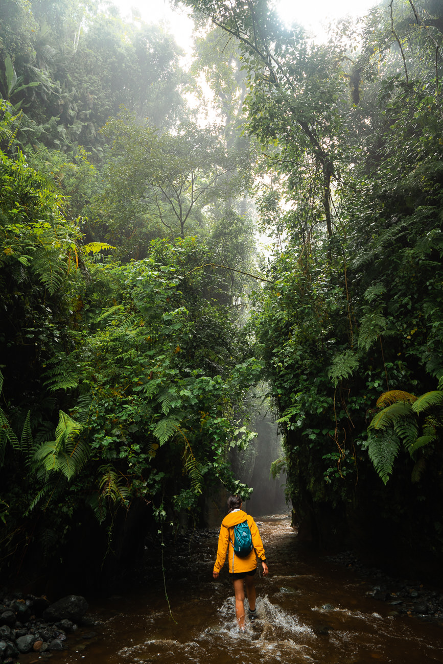
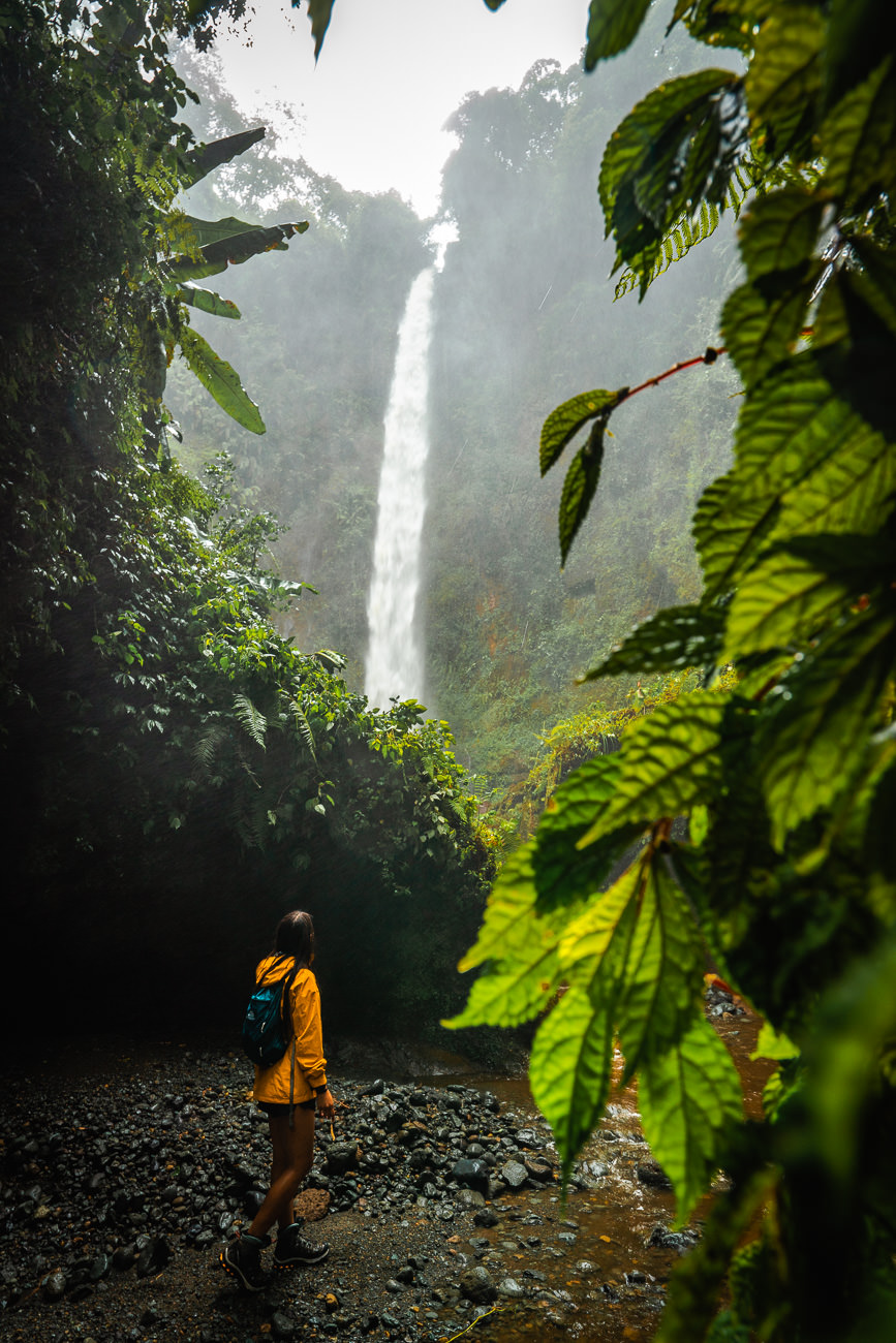
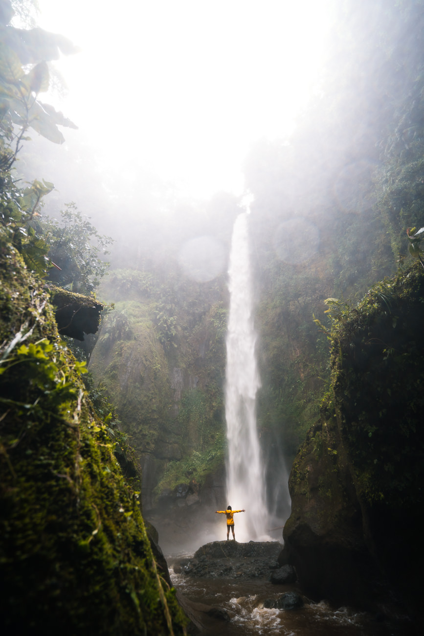
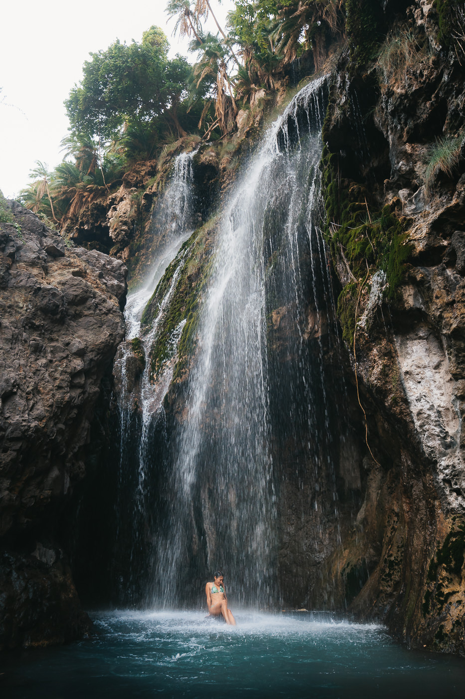
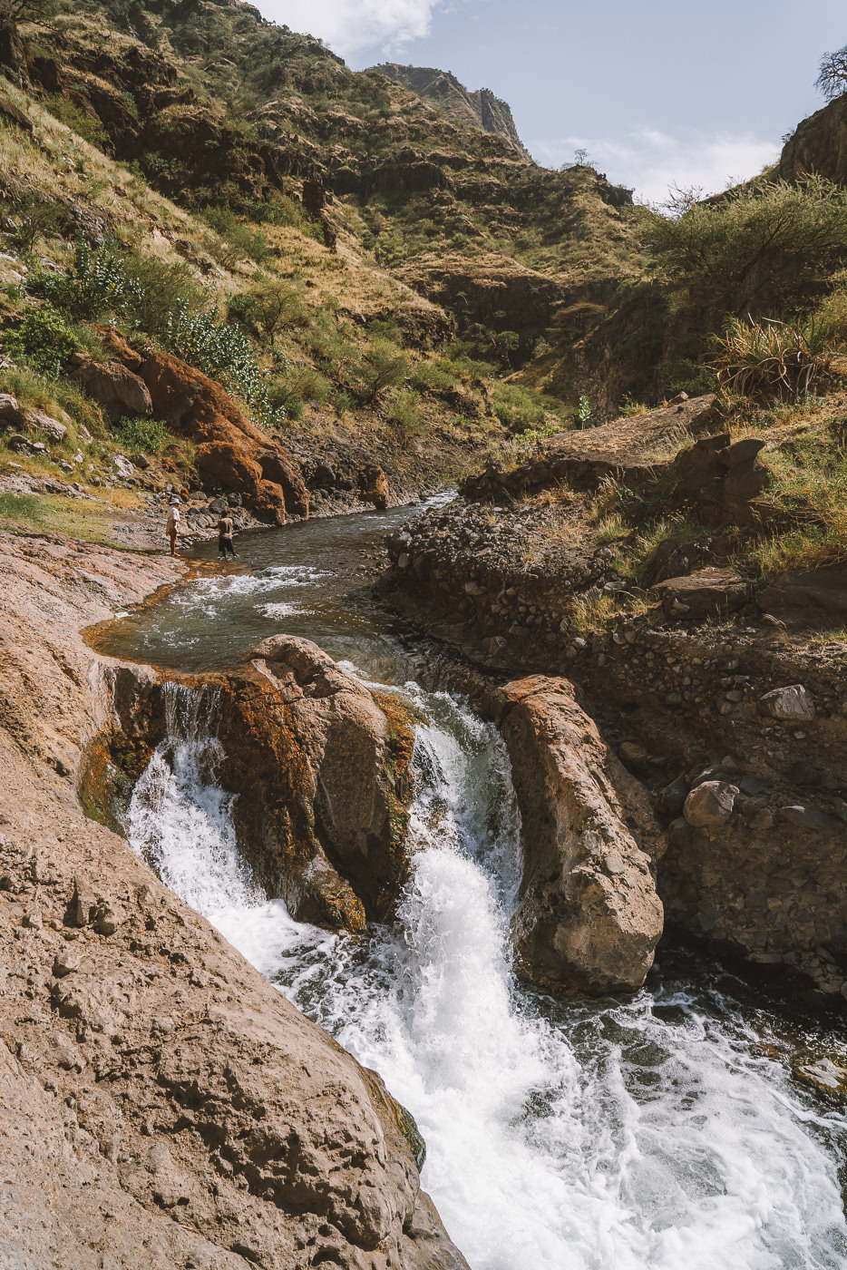
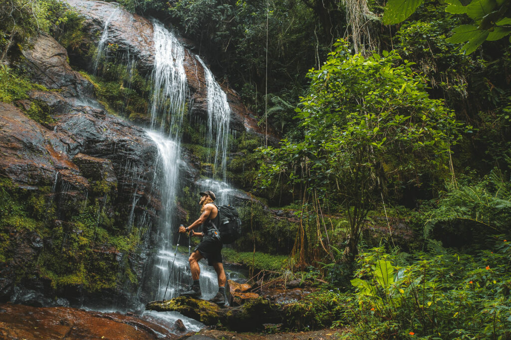
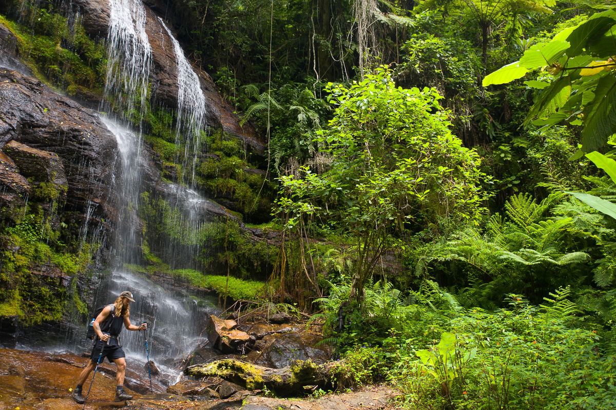
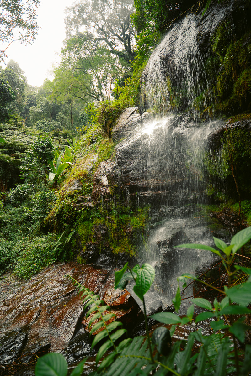
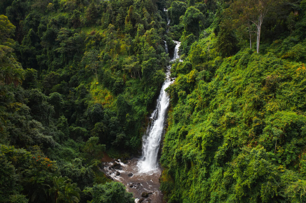
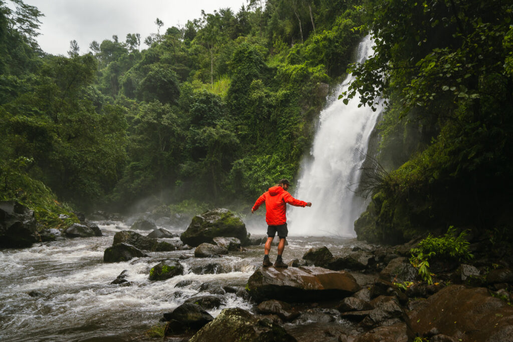
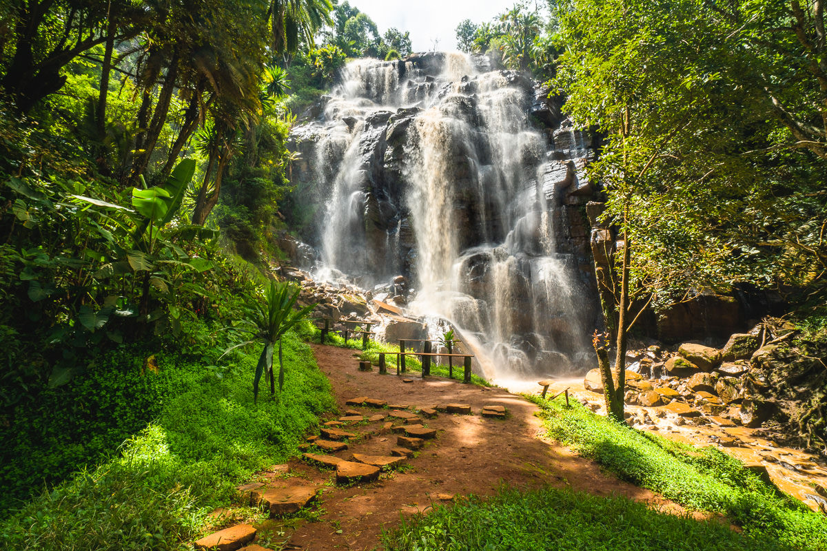
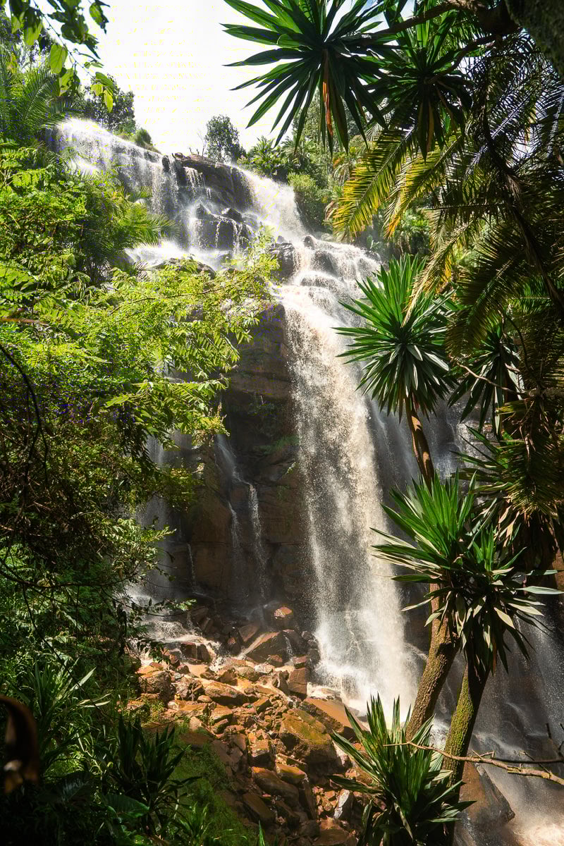
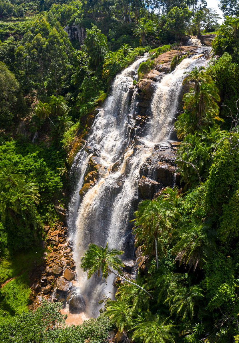
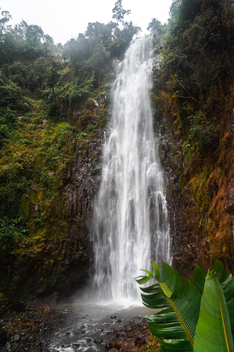
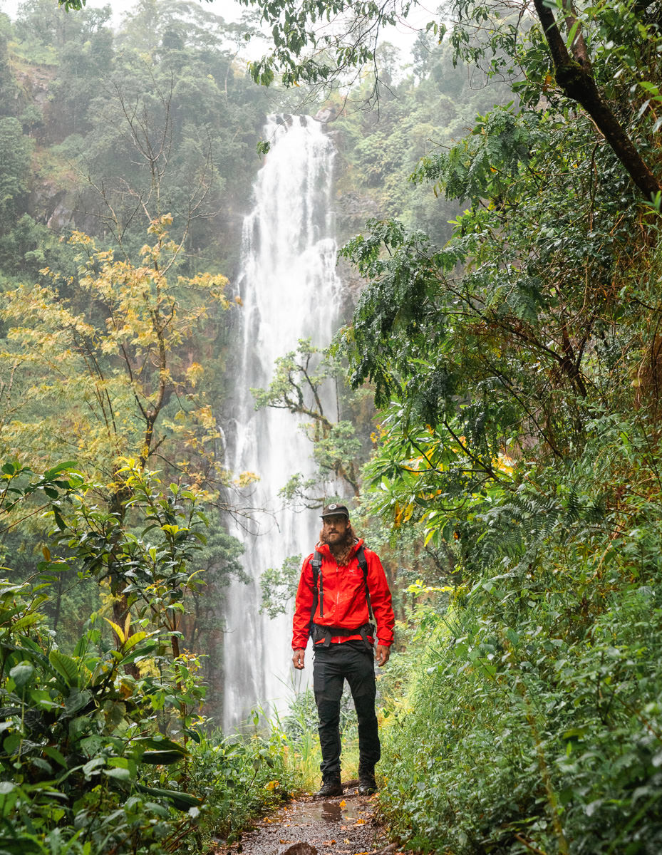
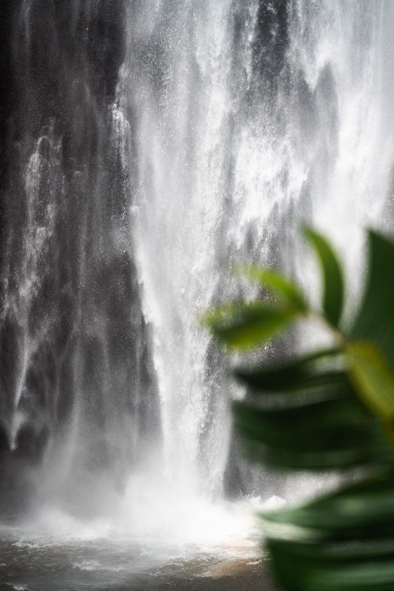
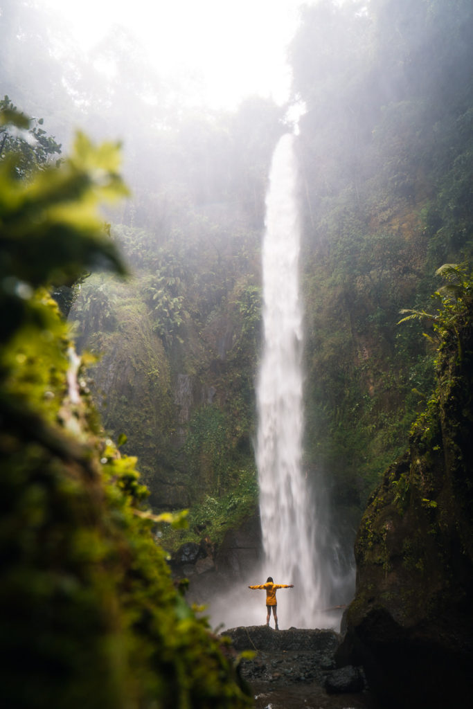
MOUNT MERU WATERFALL HIKE
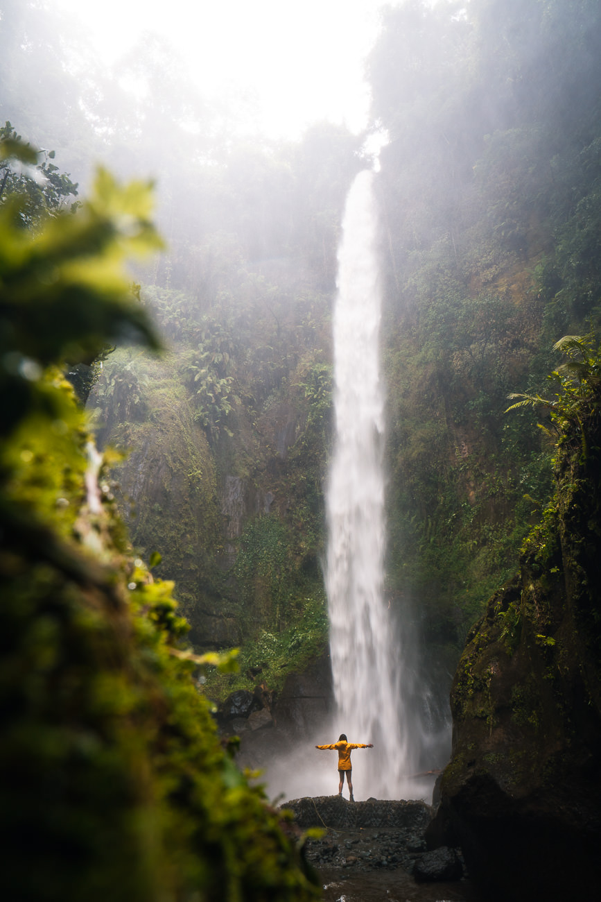
Mount Meru is home to many incredible waterfalls, which pour down from the volcanic slopes. After a night of heavy rain, I made a day trip to explore one of the largest waterfalls at the base of Mount Meru, aptly named Mount Meru Waterfall. This adventure involves a steep motorbike drive up a rocky road followed by a jungle stairway that leads you down into a gorge.
Once inside, you wade through the river, clambering over rocks until you meet the intense falls that spray with incredible force at its base. A remarkable sight and only a few kilometers from the town, the Mount Meru waterfall is one of the top things to do in Arusha.
READ MY FULL BLOG POST: MOUNT MERU WATERFALL HIKE
MOUNT MERU WATERFALL HIKE DETAILS
- Hike Distance: The total distance of the hike is roughly 4-5km out and back (return trip)
- Hike Duration: Heading from the ticket office down to the waterfall and directly back should take about 1.5-2 hours.
- Hike Difficulty: This trail is moderately difficult due to slippery conditions and wading through the river. Most people with average fitness and a sense of adventure will be okay as it is nothing technical. Be prepared to get wet.
- Hike Incline: 200 meters.
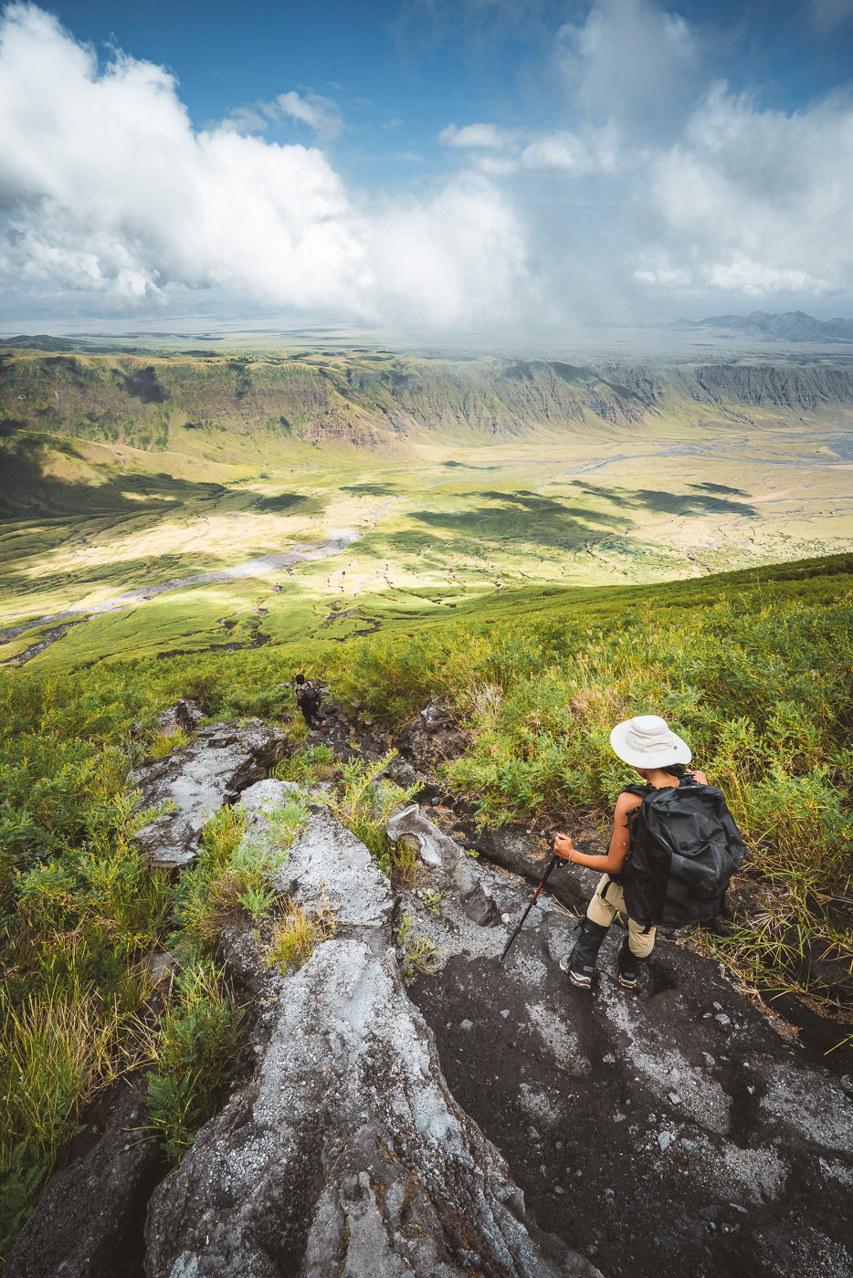
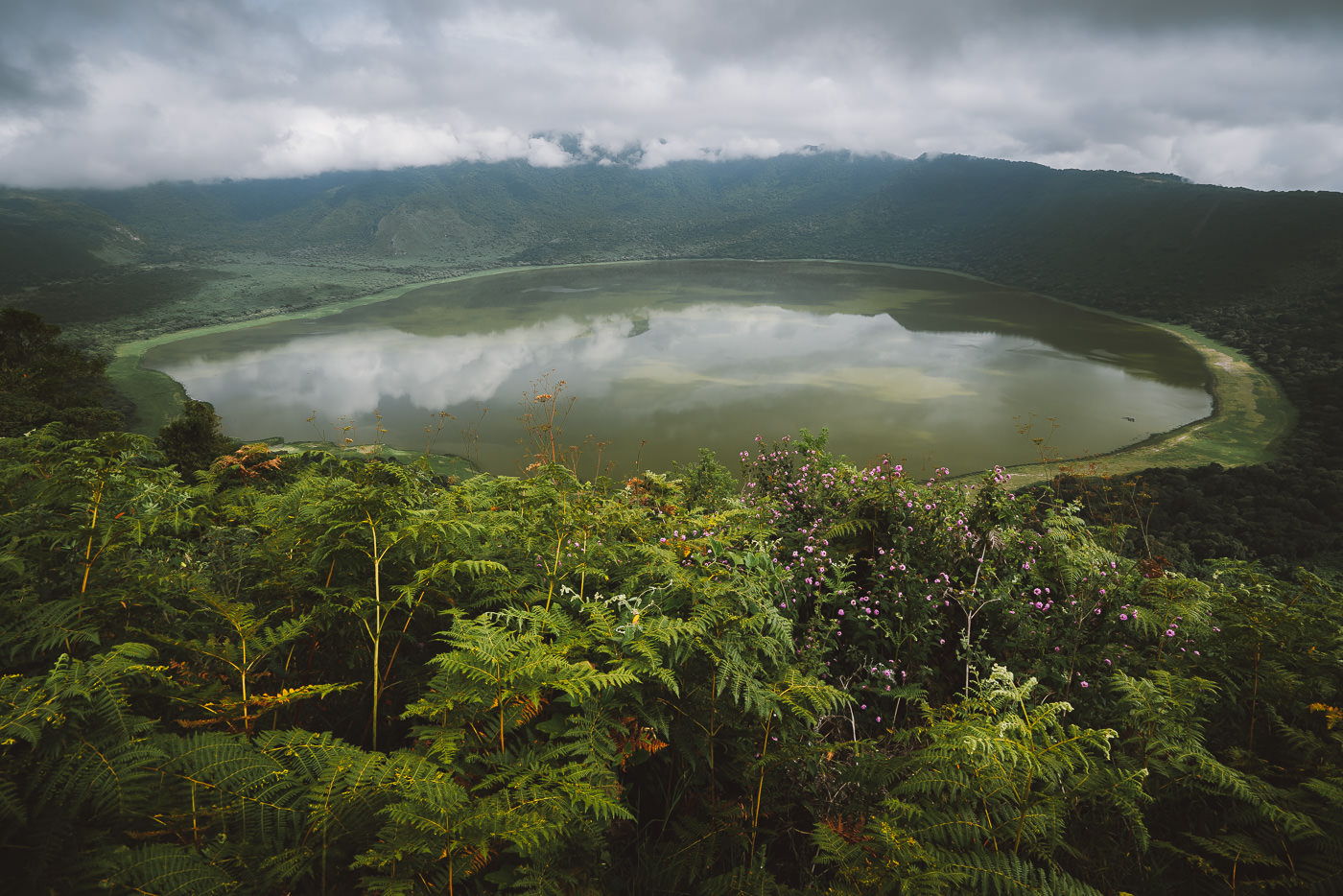
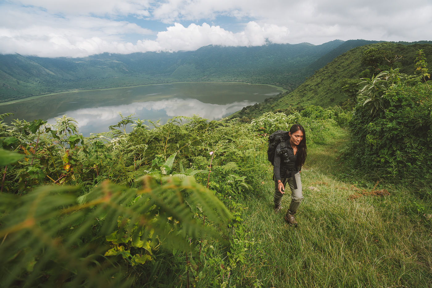
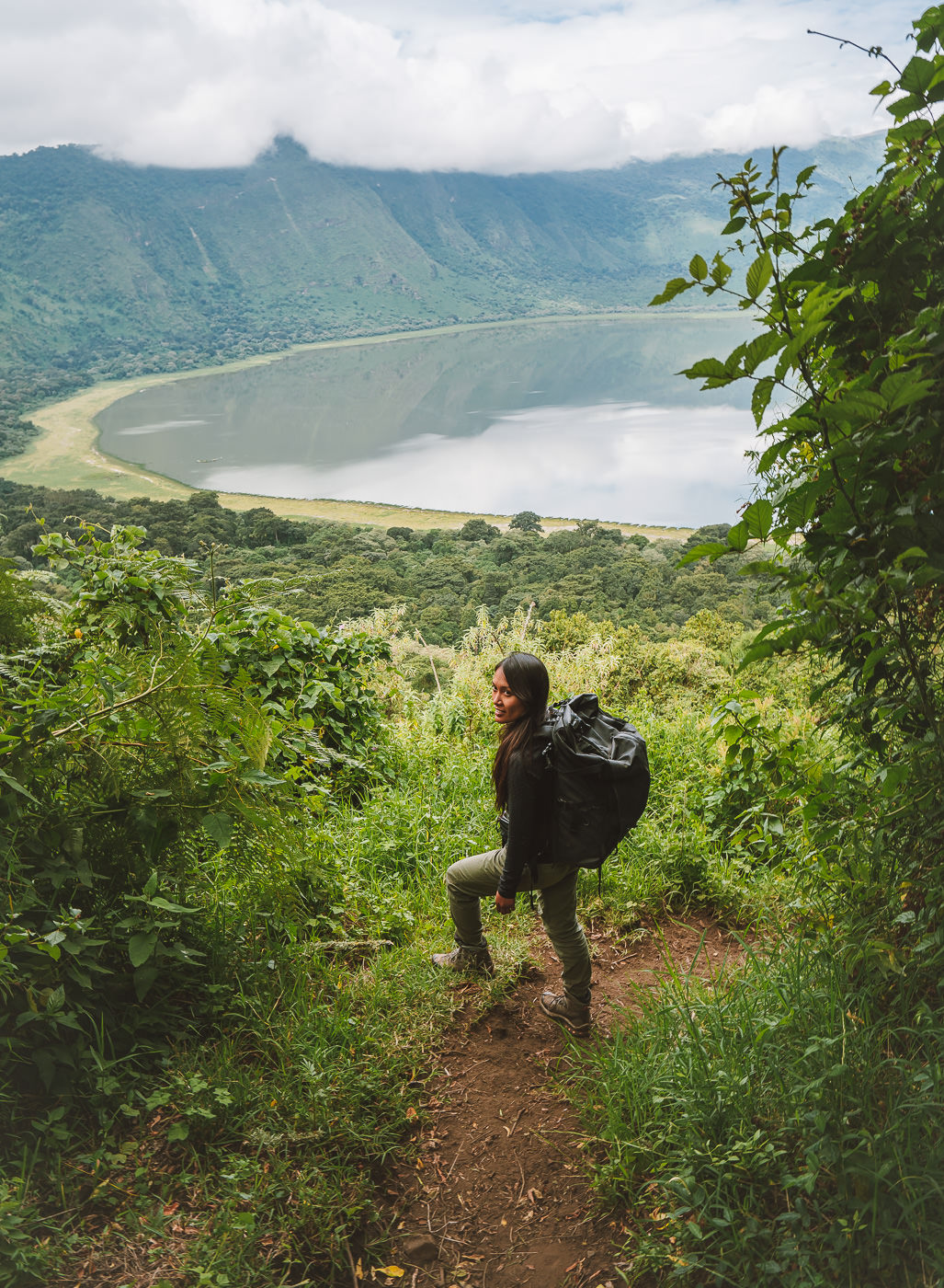
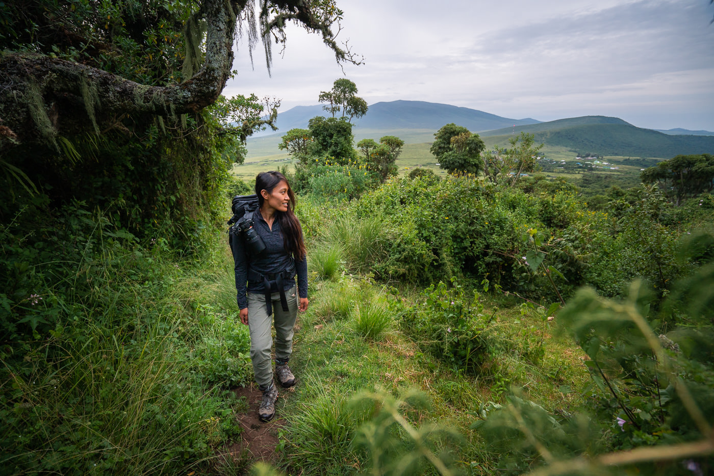
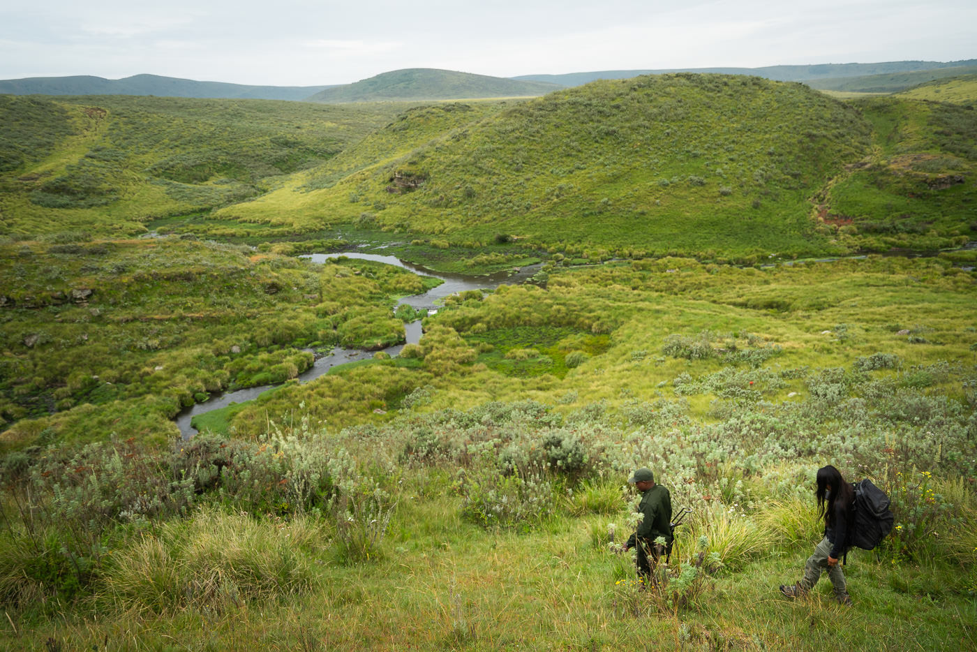
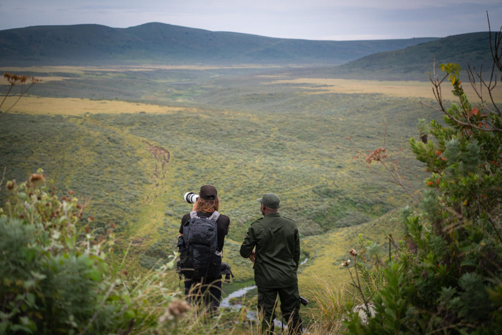
EMPAKAAI CRATER HIKE
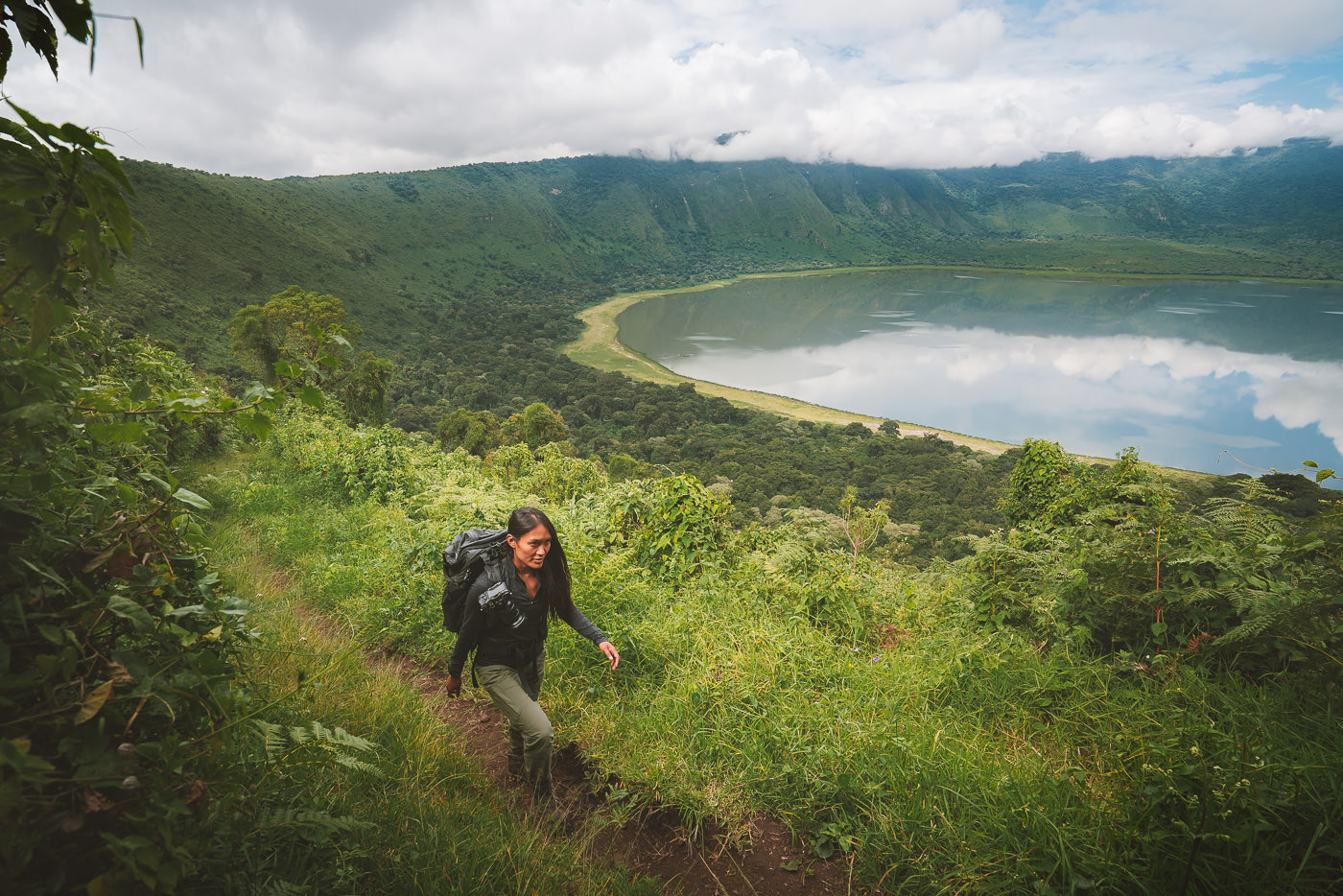
Hidden in the highlands region of the Ngorongoro Crater Conservation Area (NCA), there are some hidden gems that most visitors in Tanzania will completely overlook. A 40-kilometer drive north of the famous Ngorongoro Crater is the equally impressive Empakaai Crater. This makes for some perfect off-the-beaten-path exploration to some truly incredible natural attractions like the Empakaai Crater.
It is best explored by a short trek down to the lake where you can encounter wildlife including baboons, buffalo, elephants, and flamingos. We were the only tourists in the crater when I visited, so you definitely feel like an explorer as you immerse yourself in the wild surroundings of the crater.
BOOK YOUR EMPAKAAI CRATER HIKE: I did my Empakaai Crater hike as part of a four-day tour through Ngorongoro with Altezza Travel and it was an incredible trip. If you want to book with Altezza, they offer a 5% discount to my readers when you use the code JACKSON5 to book your trek.
READ MY FULL BLOG POST: EMPAKAAI CRATER HIKE
EMPAKAAI CRATER HIKE DETAILS
- Hike Distance: The total distance of the hike is 5km out and back (return trip)
- Hike Duration: The hike can be completed in about two hours depending on how long you enjoy the views while lake-side in the crater rim
- Hike Difficulty: This trail is quite basic as it is only 5 kilometers in distance. However, the trail is quite steep down the side of the crater rim with 300m of elevation on the way up. The other component to consider is that you may be doing much of this trek exposed to the sun so it may not be for everyone but it isn’t a huge undertaking and most who are capable of walking for 1-2 hours will be fine.
- Hike Incline: 295 meters.
- My Strava Map Upload: Empakaai Crater Hike
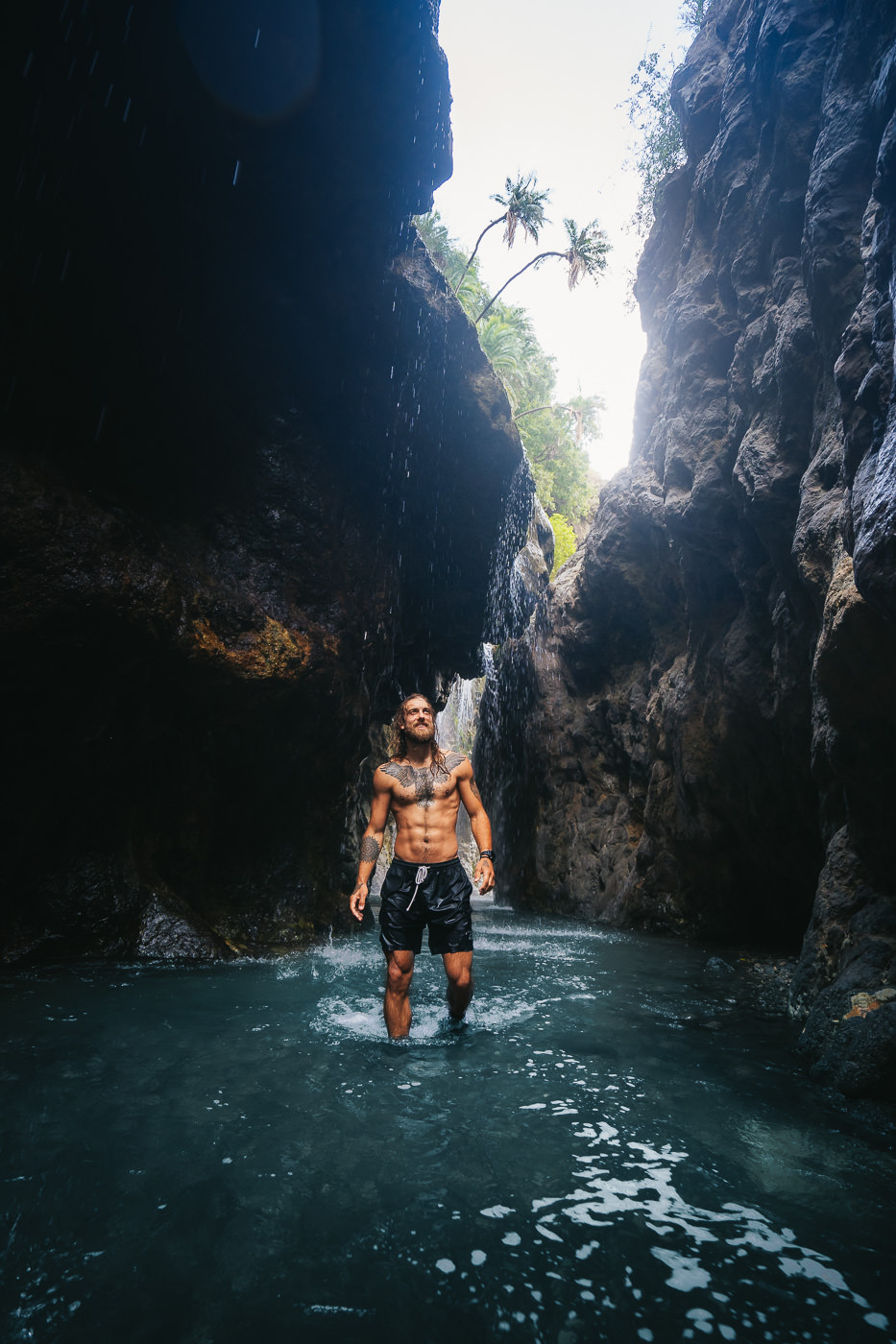
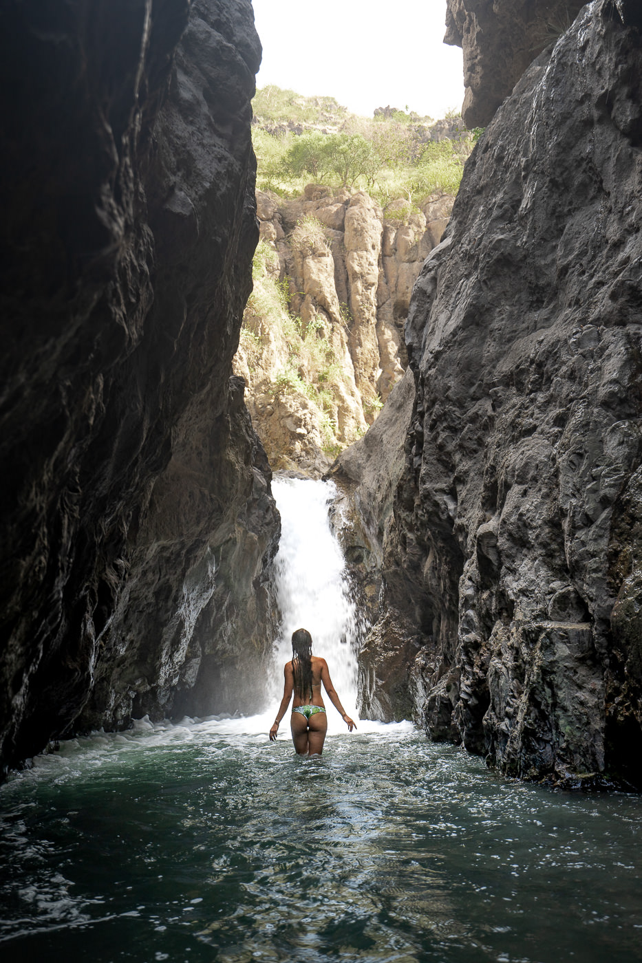
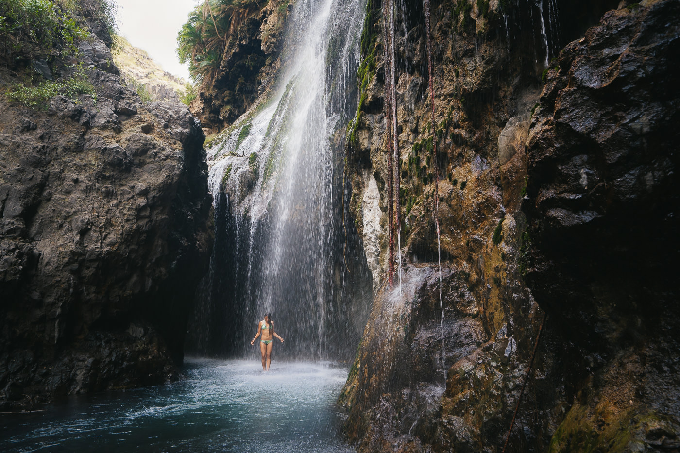
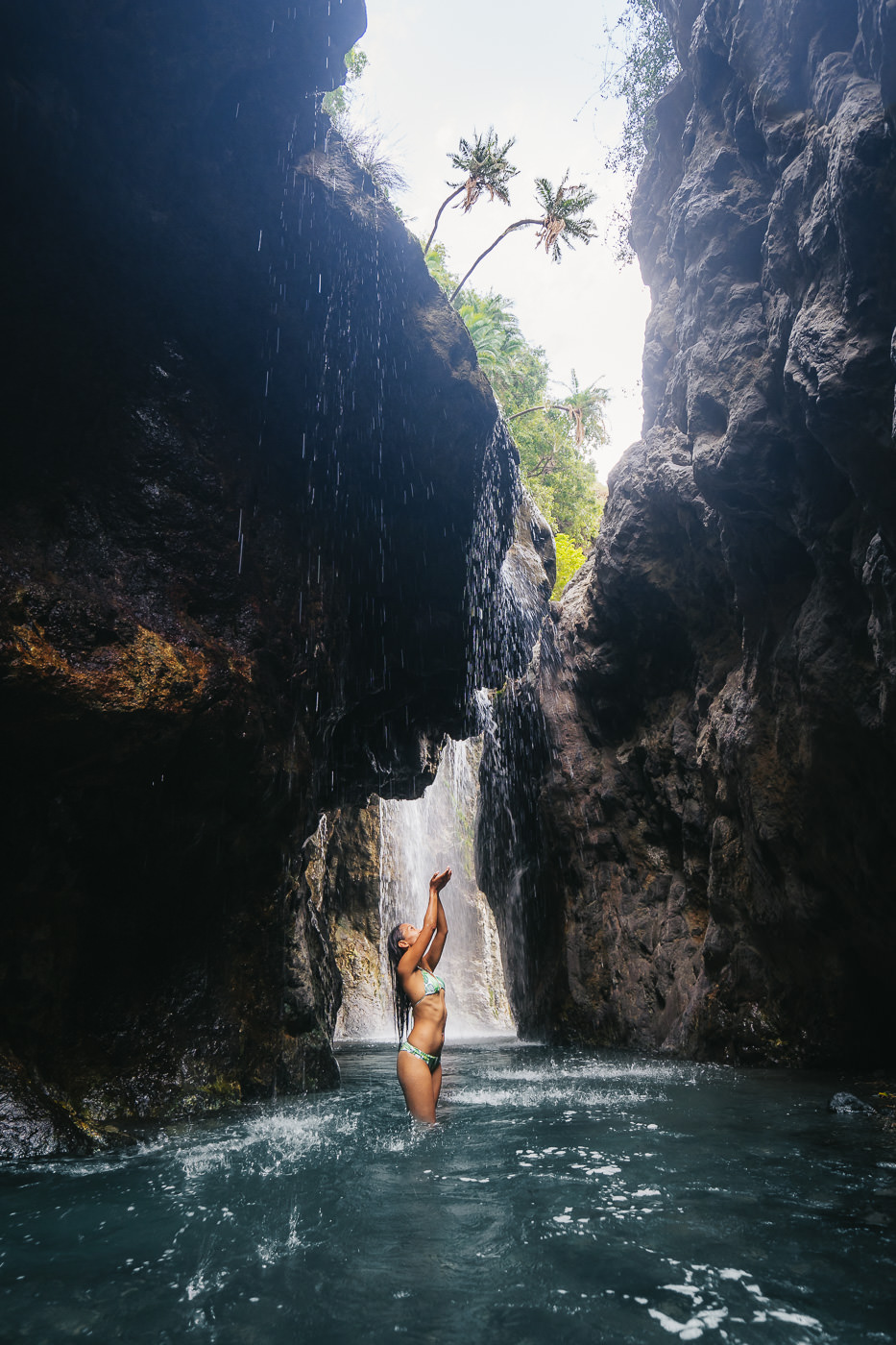
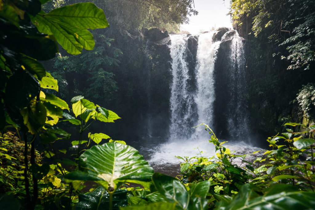
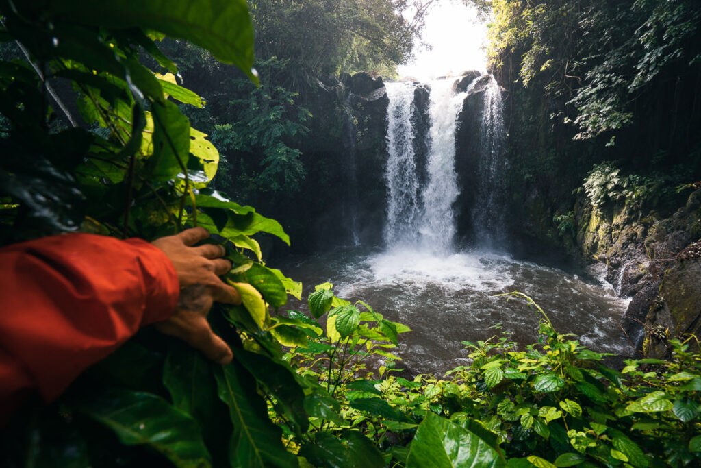
NGARE SERO WATERFALLS HIKE
Lake Natron is a popular area to stay at the lake-side lodging and observe the massive flocks of flamingos and other wildlife near the expansive salt lake. The ‘Mountain of God’ Ol Doinyo Lengai also looms in the background and is the third most popular mountain to climb in Tanzania. However, hidden in the depths of the Ngare Sero Gorge is the hidden gem of the region with a series of stunning waterfalls. It might be hard to believe in the heat of the plains but this refreshing micro-adventure was one of my favorite activities in the Lake Natron region.
The trek is short but very interesting from the first moment as you spend the entire route inside the gorge. Wading through hip-high water at times this is quite a fun adventure although still very moderate and easy for most to handle. The waterfalls at the end of the gorge are the perfect spot to cool down after your Ol Doinyo Lengai hike.
READ MY FULL BLOG POST: NGARE SERO WATERFALLS HIKE
NGARE SERO WATERFALLS HIKE DETAILS
- Hike Distance: The total distance of the hike is 5km out and back (return trip)
- Hike Duration: The hike can be completed in about two hours depending on how long you enjoy the waterfall.
- Hike Difficulty: This trail is quite basic as it is only five kilometers in distance. However, the trail crosses the river a number of times. I highly suggest water shoes or even using hiking boots and getting them wet. My friend went in flip-flops and regretted it due to how much of the trail was on slippery rocks.
- Hike Incline: 333 meters.
- My Strava Map Upload: Ngare Sero Waterfall Hike
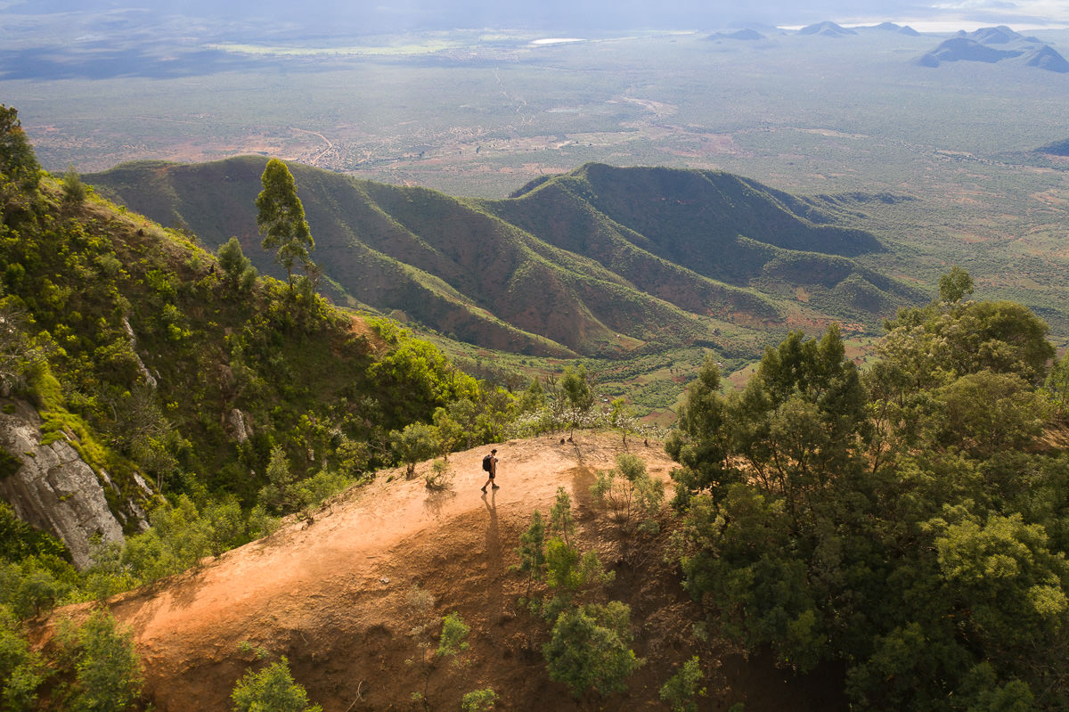
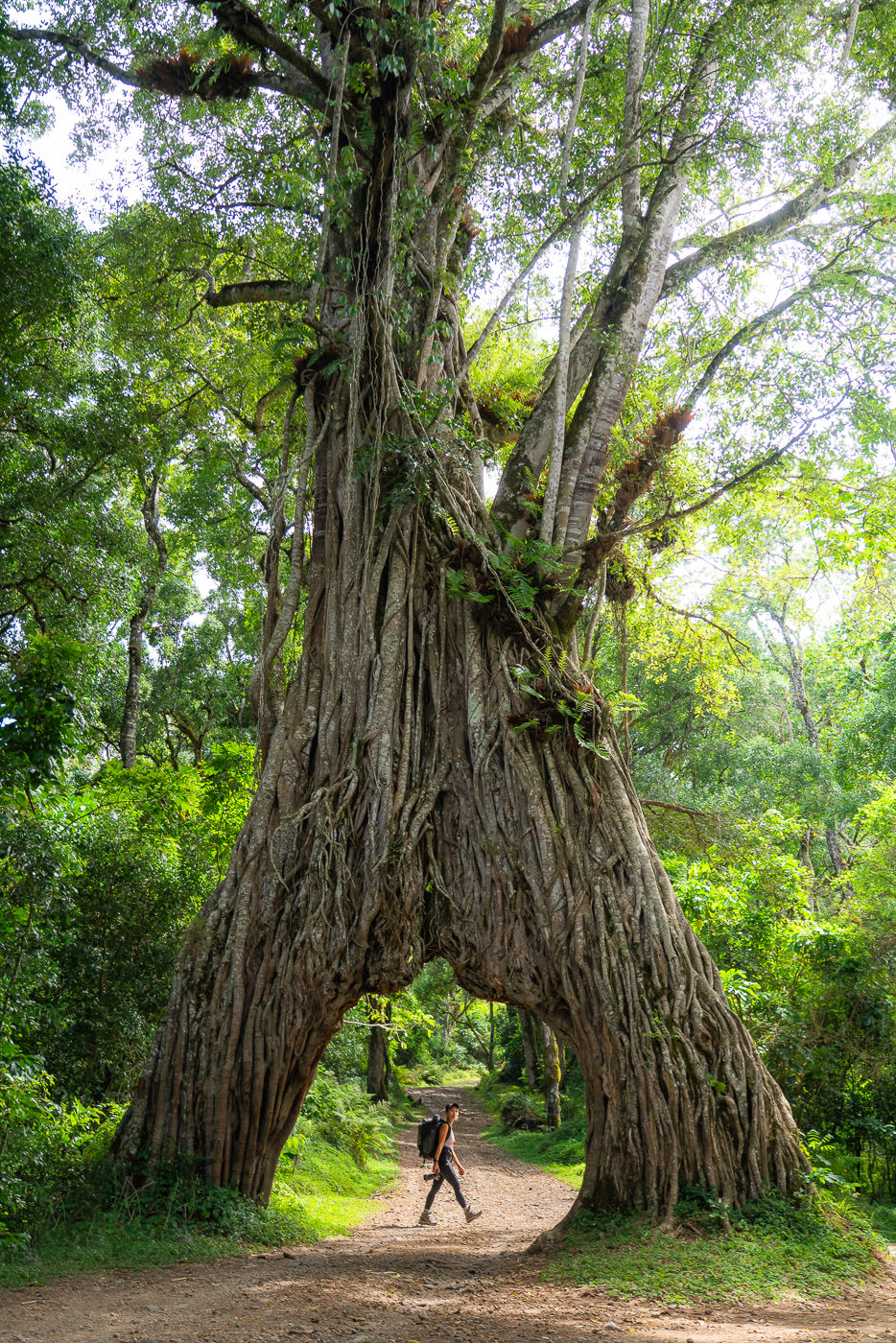
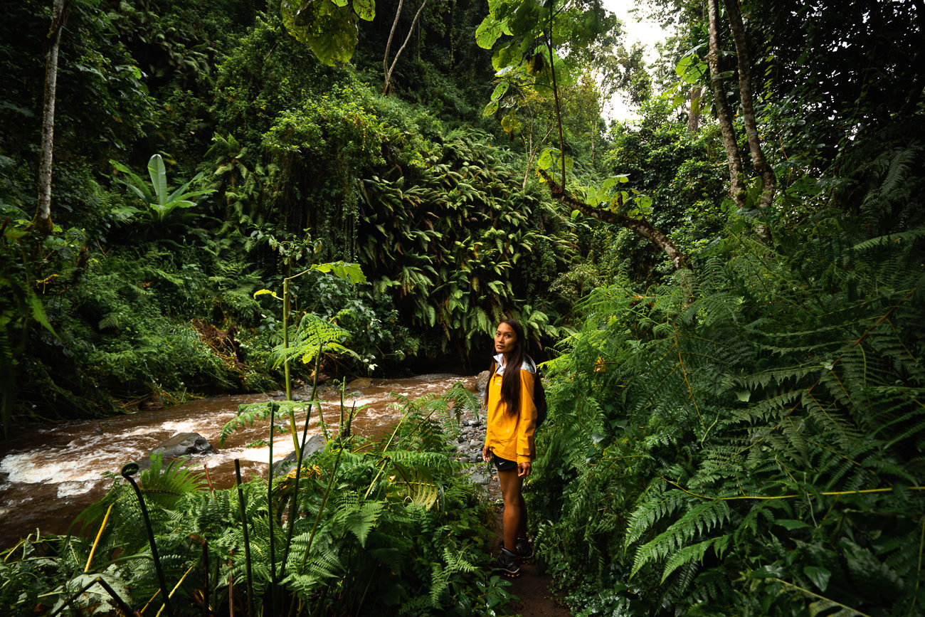
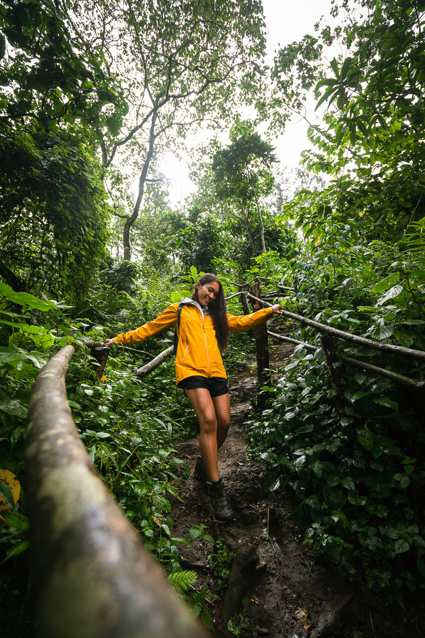
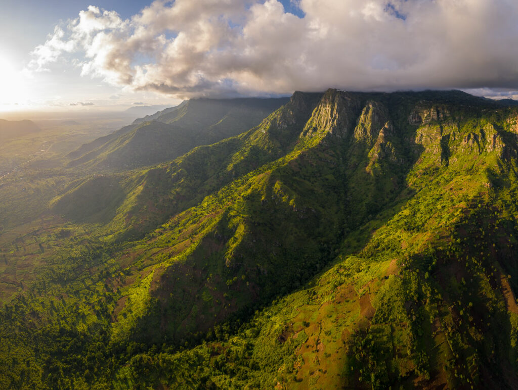
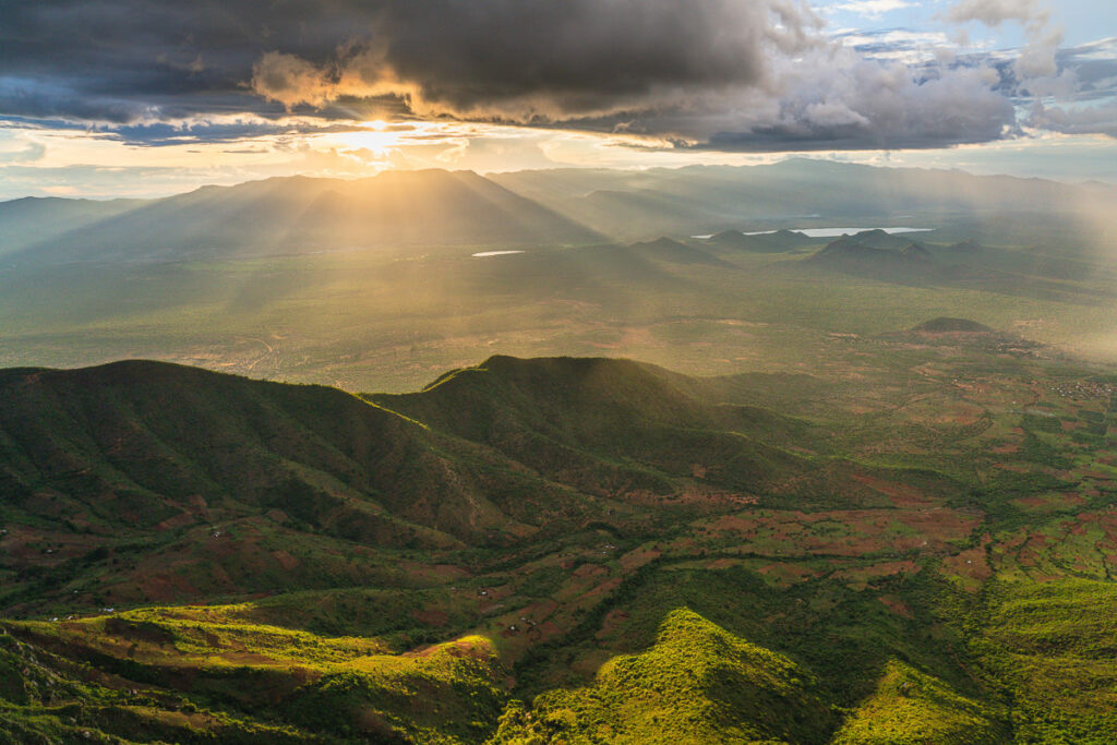
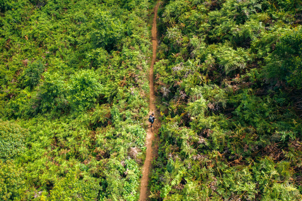
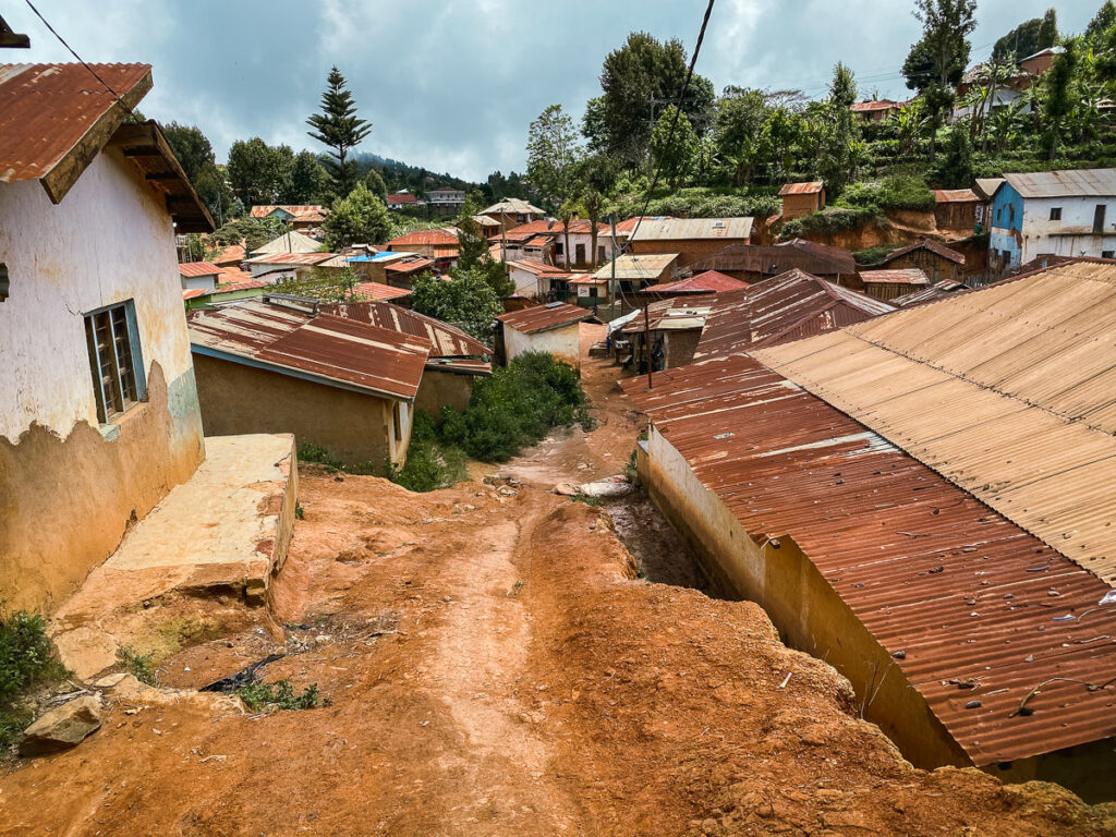
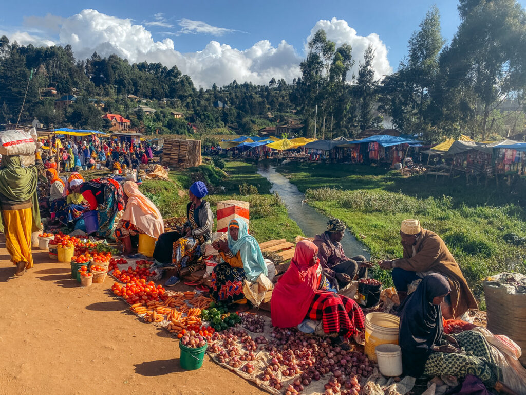
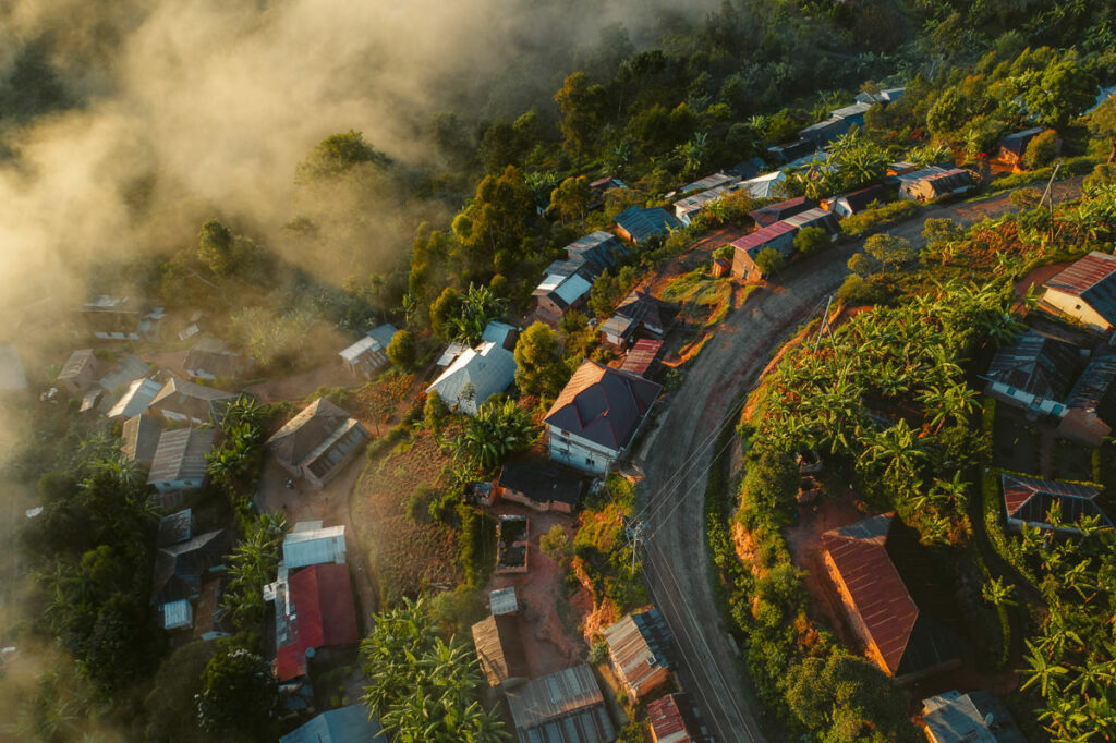
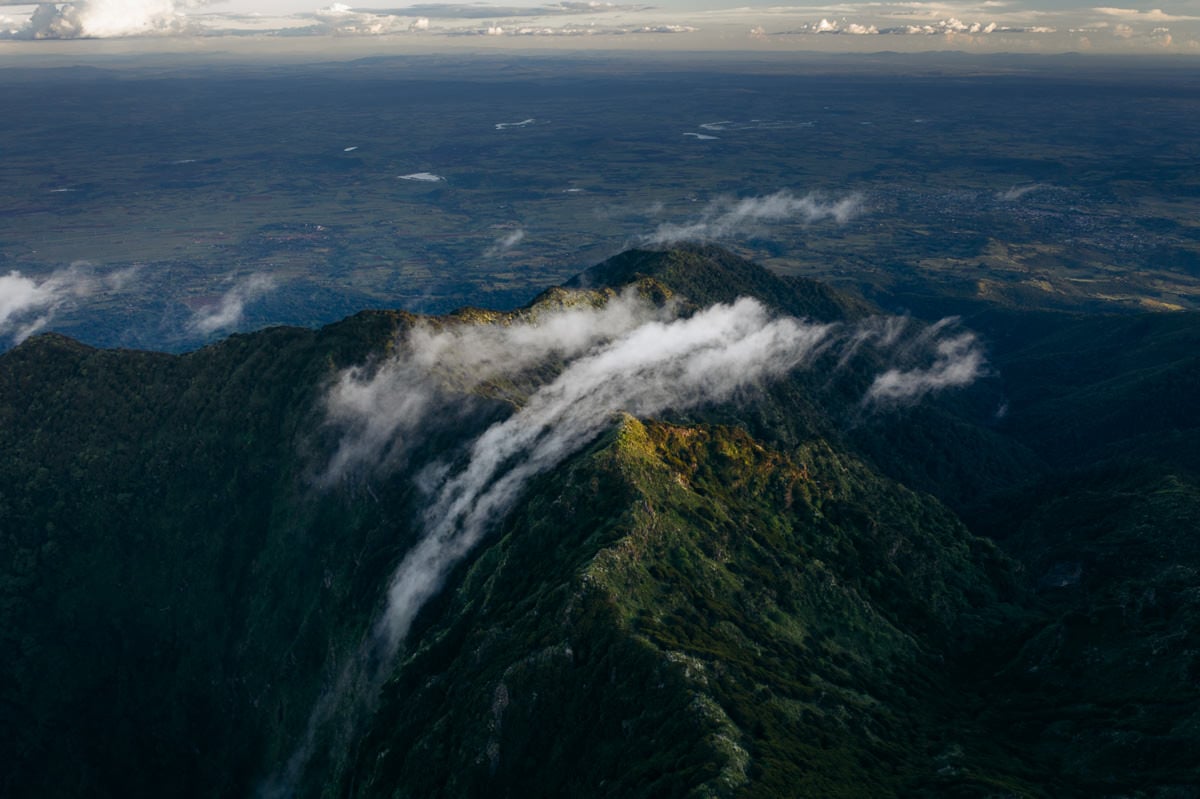
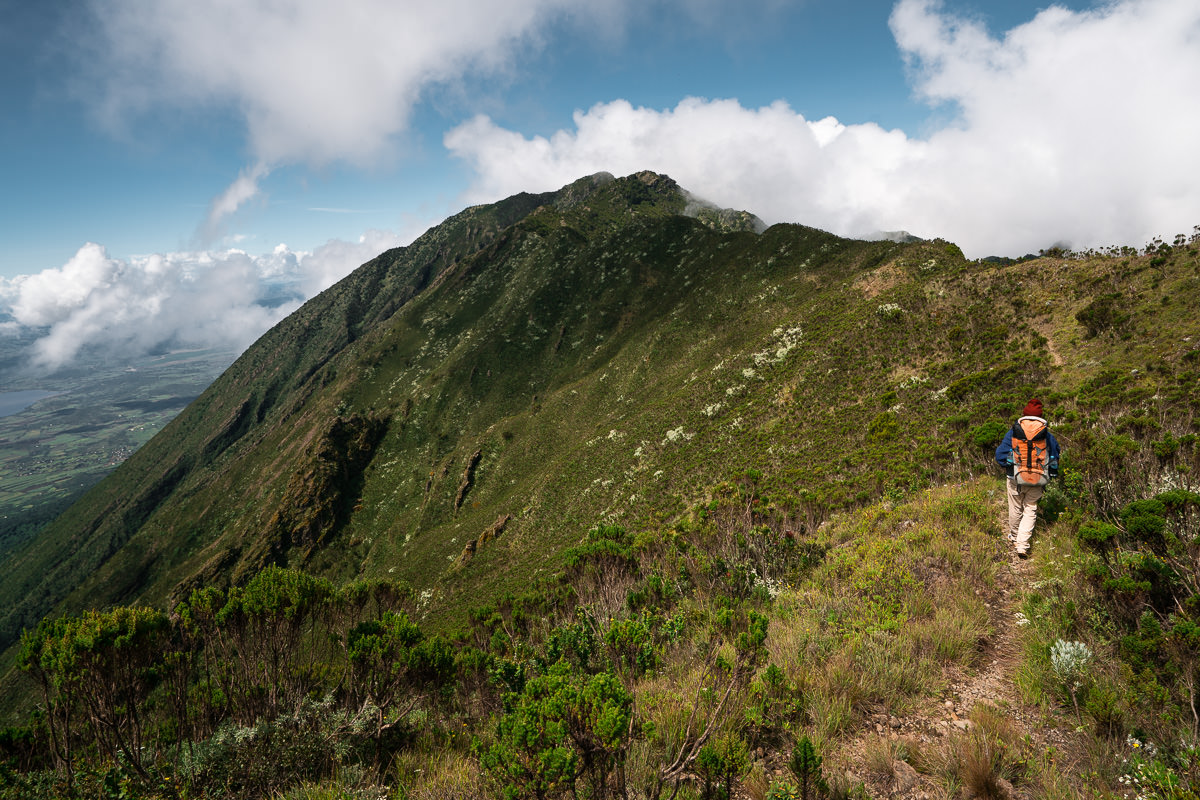
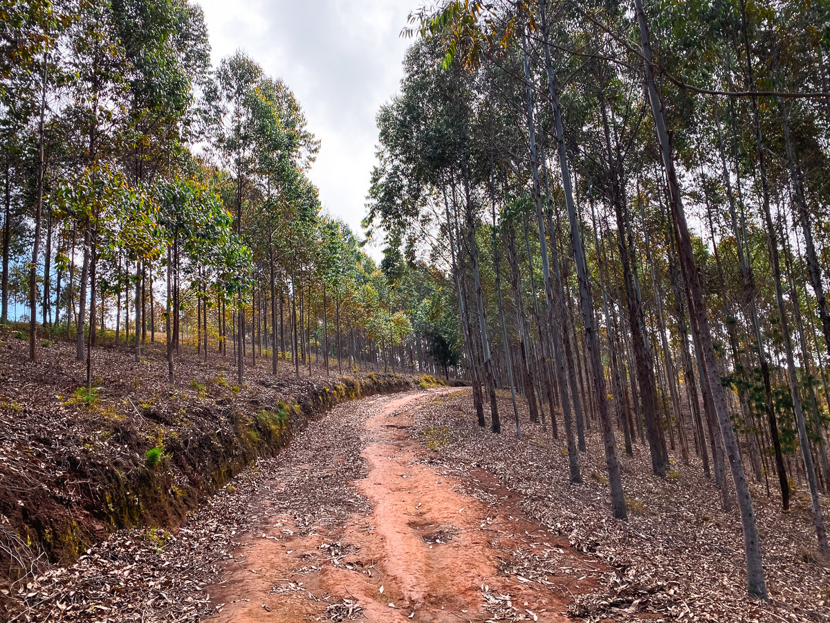
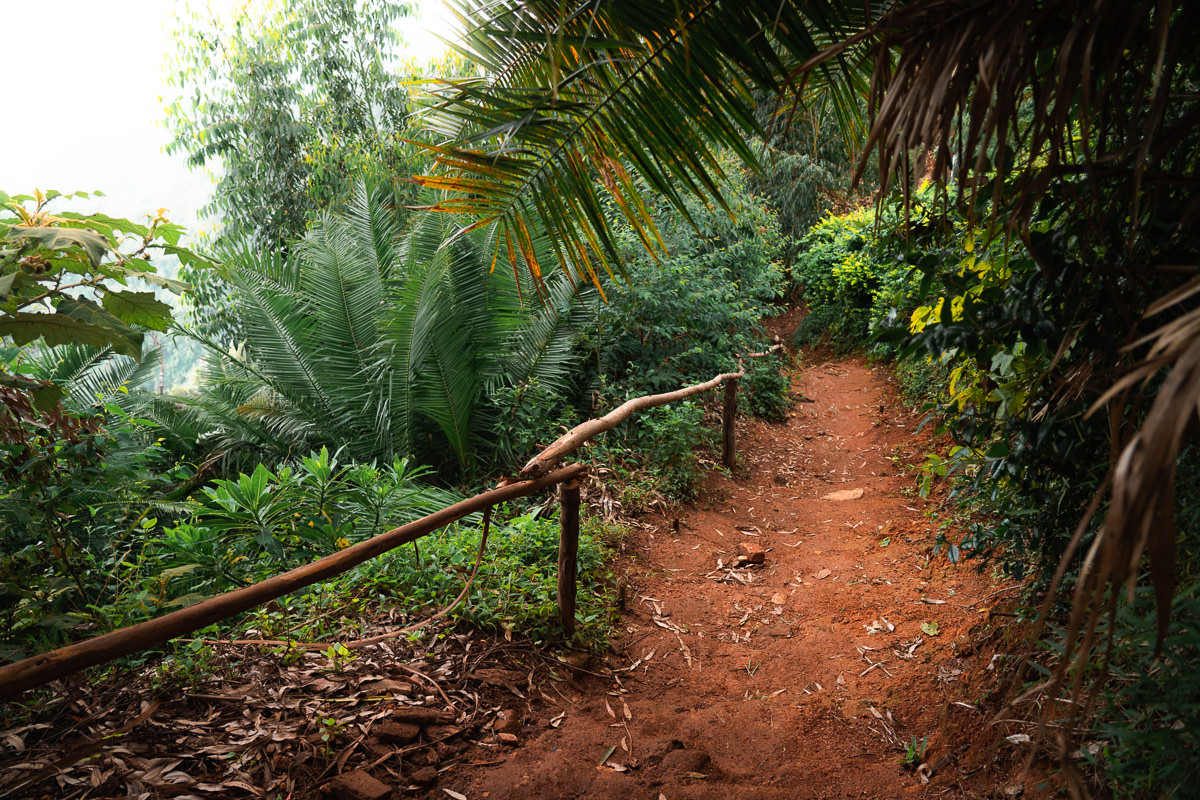
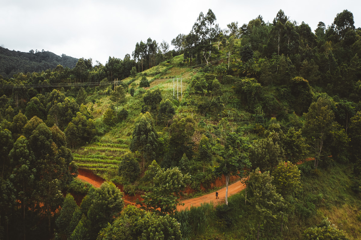
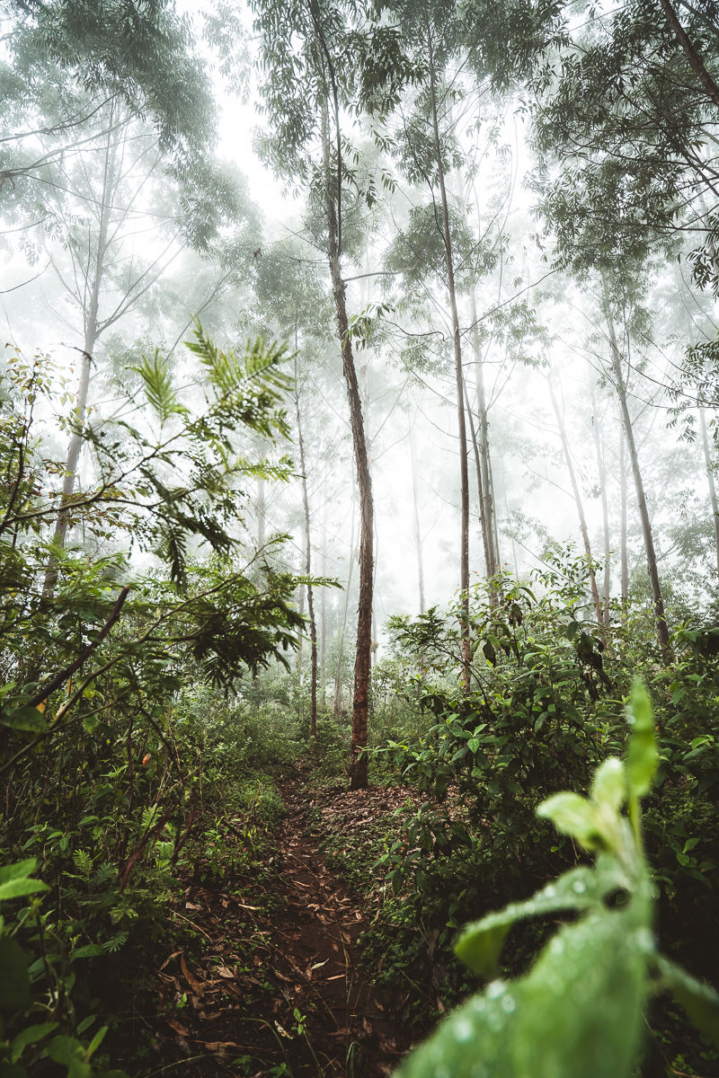
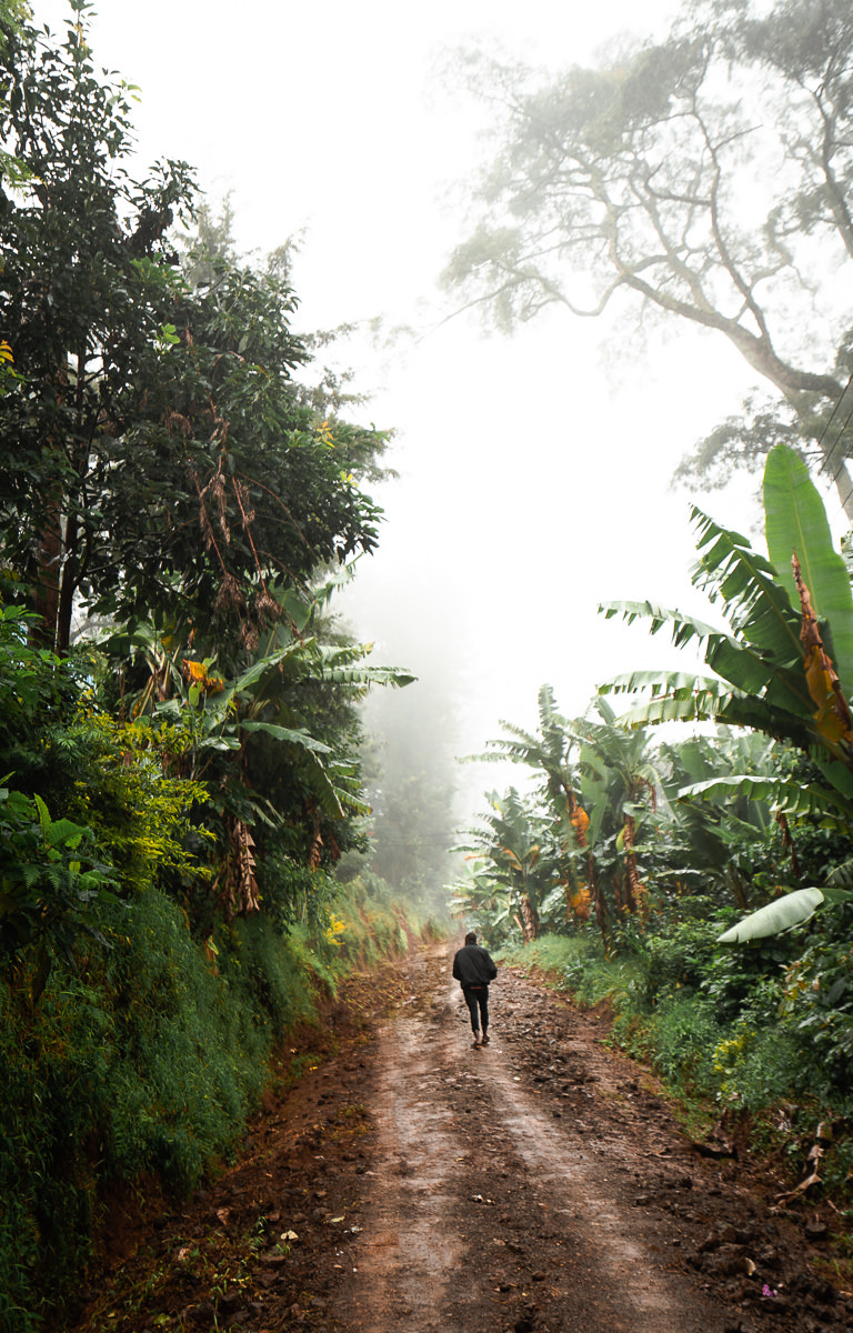
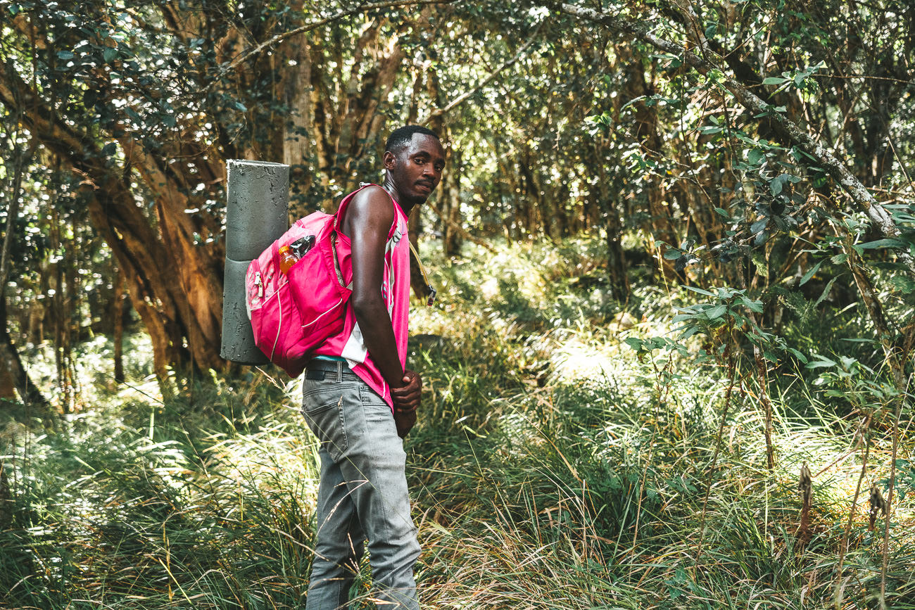
USUMBARA MOUNTAINS: LUSHOTO TO MTAE TREK
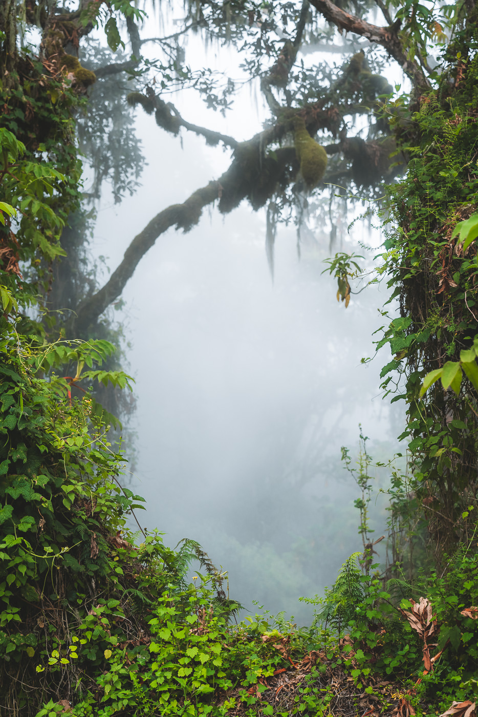
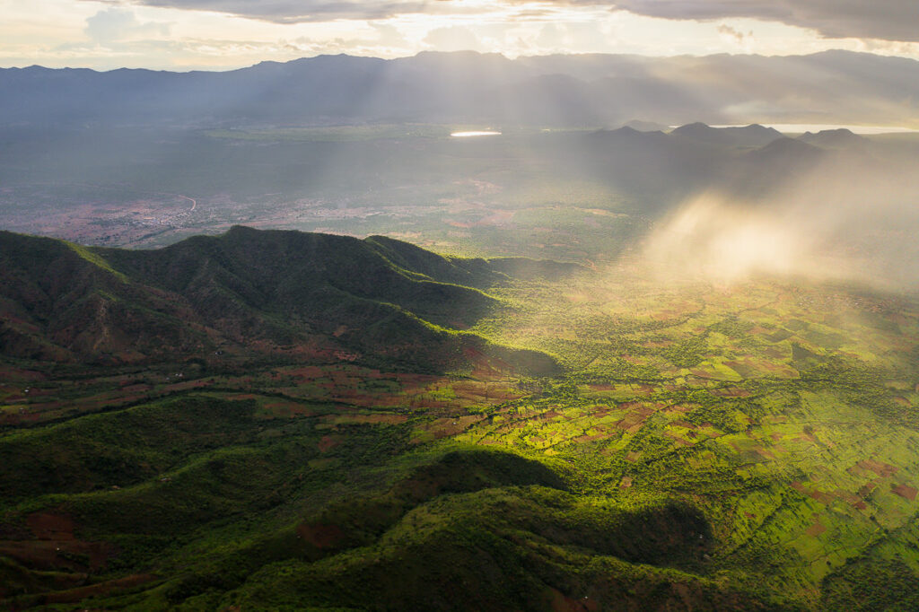
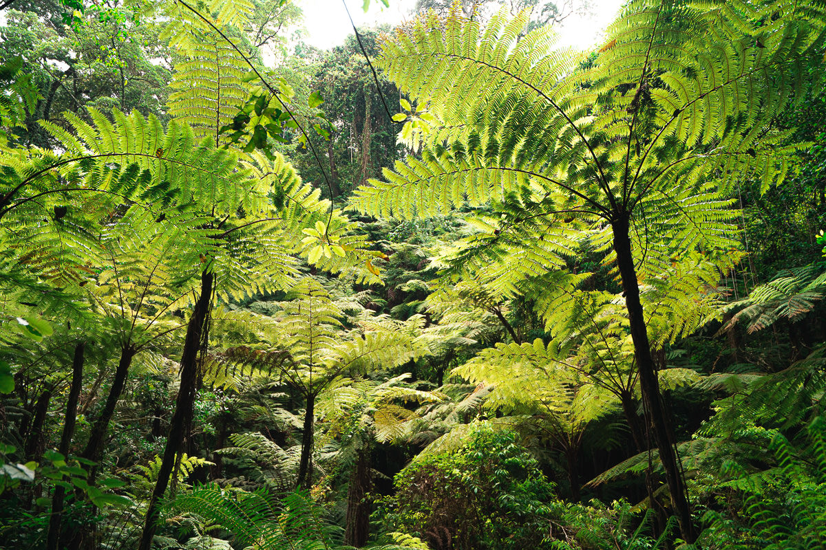
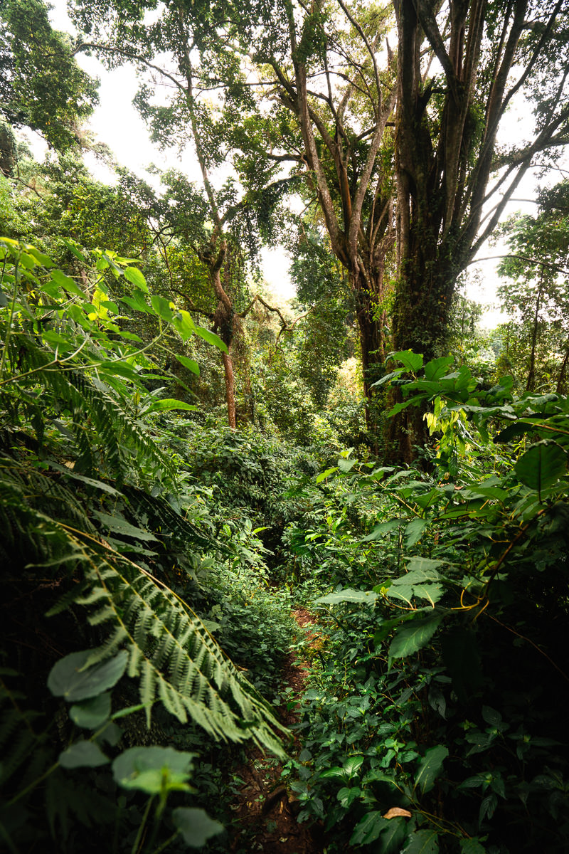
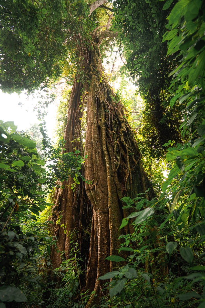
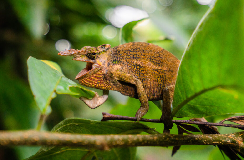
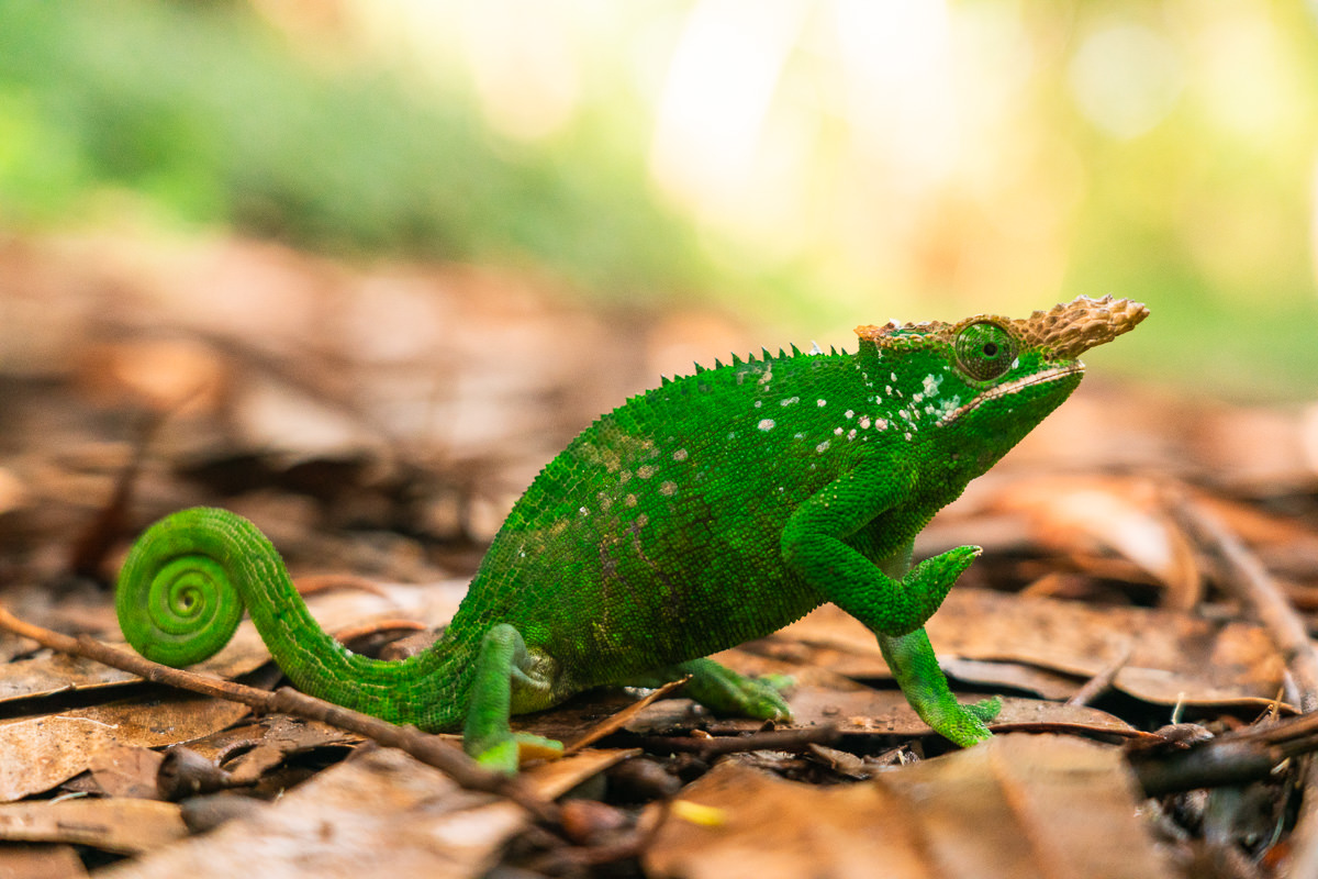
The Usambara Mountains are one of the hidden gems of Tanzania. A rich biodiversity hotspot with lush forests, incredible cliffs and mountain ranges, a network of local villages, and rare wildlife such as chameleons.
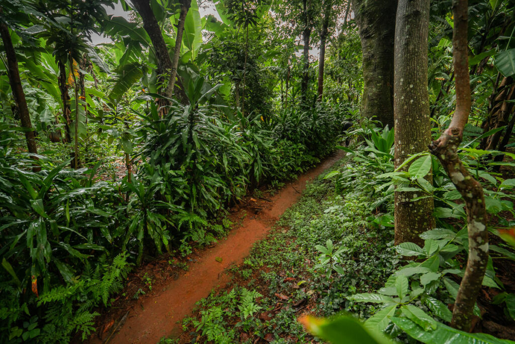
Lushoto is the main town in the region and acts as the entry point to the mountains. It’s here that I began my journey as I trekked all the way to Mtae, passing through villages and forests throughout my 82-kilometer journey. Usambara is undoubtedly one of the most beautiful mountain ranges in Tanzania.
READ MY FULL BLOG POST: USAMBARA MOUNTAINS: LUSHOTO TO MTAE TREK (82KM)
LUSHOTO TO MTAE TREK DETAILS
- Hike Distance: The total distance of the hike was 82.5 km from Lushoto to Mtae. However, I took the scenic route including Magamba Peak on Day 1 and to Kidhege Falls on Day 4. The trek can be done in 60km more or less, but Magamba Peak and Kidhege Falls were highlights so I suggest my route.
- Hike Duration: This depends a lot on your speed and the route you take. I carried all my gear so had a decently heavy load. The route took me four days but could have easily been done in three days if I skipped Mambo and went straight to Mtae.
- Many tour groups take 4-5 days and don’t carry their gear, making it a more leisurely affair. The total moving time according to my Garmin was 18 hours and 43 minutes.
- Hike Difficulty: The trail is a variety of surfaces including forest paths, wide gravel roads, and small tracks that wind through the farming fields. It’s not a technical hike, there are no steep drop-offs and you shouldn’t find any danger. The hard part is the distance and carrying your gear. The incline was a slow-burner as well with an average of a vertical kilometer a day. This through-hike will be a challenge for many people. However, it’s easier than many through-hikes because you have lodges to sleep in each night rather than carrying your sleeping equipment, food and having to set up camp each night.
- Guide: Having a guide will simplify the journey but I used a GPX map (like mine linked below) to find the path. Going solo creates additional difficulties but I had no issues finding food, water and accommodation.
- Hike Incline: My route was 3,952 meters of incline.
- My Strava Map Upload: Lushoto to Mtae

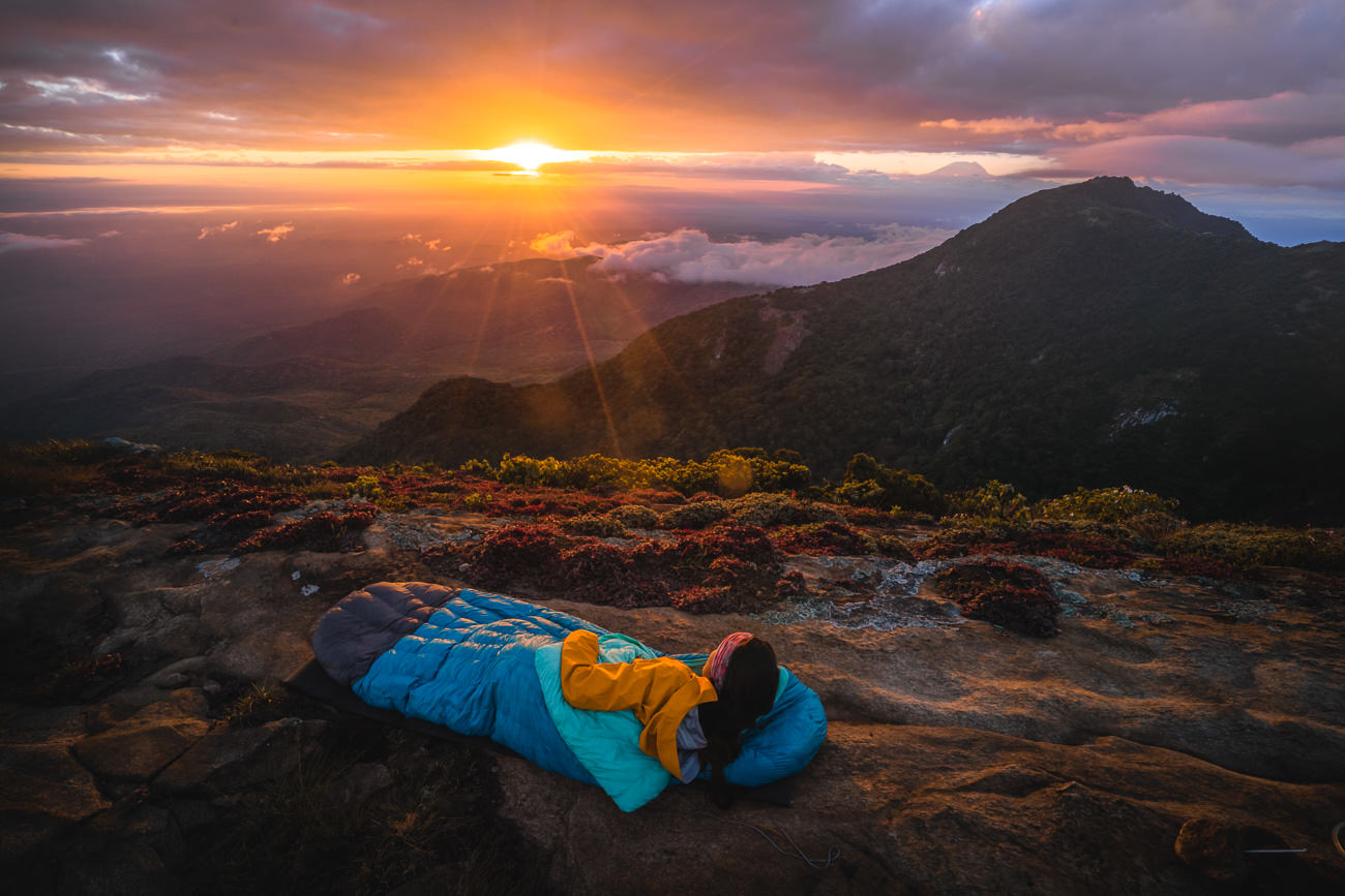
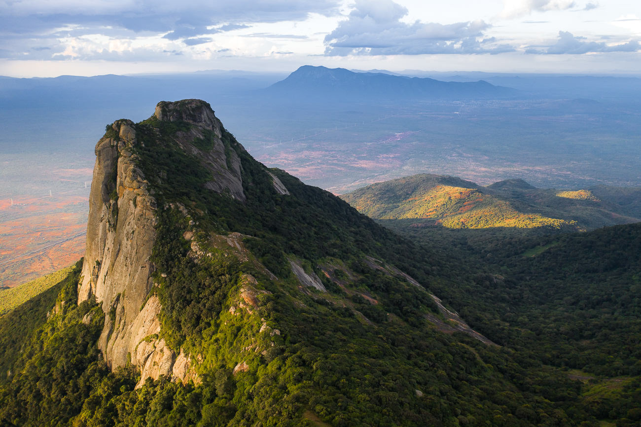
MOUNT HANANG HIKE
Mount Hanang (3,423m) is the third highest peak in Tanzania and arguably the hardest climb. While Mount Kilimanjaro and Mount Meru might be seen as the big challenges due to the multi-day trekking and altitude there is no single day on either of those treks with anywhere near the elevation gain of Mount Hanang.
Rising from the town of Katesh, you will climb 1600 meters over 8.5 kilometers in about five hours. If the sun is out, expect a very tough hike and if it is cold you can expect to endure a freezing night at the campsite. What makes it all worth the effort is the incredible views from the summit over Katesh and Lake Balangida. The sunset and sunrise were truly incredible above the clouds despite the numb sensation in my fingers.
READ MY FULL BLOG POST: MOUNT HANANG HIKE & OVERNIGHT CAMPING
MOUNT HANANG HIKE DETAILS
- Hike Distance: The total distance of the hike is 17.5km out and back (return trip)
- Hike Duration: This depends a lot on your speed and how much gear you are carrying. The ascent can be completed in about 5-6 hours and the descent can be completed in about 3 hours. This obviously depends on your ability to hike uphill with gear.
- Total Moving Time: Our total moving time was just six hours and twenty minutes (for the return trip/up and down) according to the Garmin, which doesn’t count any rest breaks or stops and sleeping at the summit. We left at 11 am and made it to the summit at 3:40 pm in time for a chill and sunset and then the next morning took about 2-3 hours to slowly hike down with a nice big break for breakfast at the regular campsite (3,100m)
- Hike Difficulty: This trail is quite difficult due to the extreme incline. In 8.5 kilometers you will ascend more than 1600 meters and this is done at a high elevation. The hike will reach 3,423m by the time you are at the summit so expect to be short on breath. The terrain is rocky and involves a lot of concentration as you step on boulders and rocks making sure not to slip on the ascent and also the descent.
- Danger: There are many sections where you will need to be sure-footed but not any big drop-offs or moments of exposure. Basically, if you can handle the incline, weather, and cold camping conditions you are all set for this one.
- Hike Incline: 1,791 meters (return trip)
- My Strava Map Upload: Mount Hanang
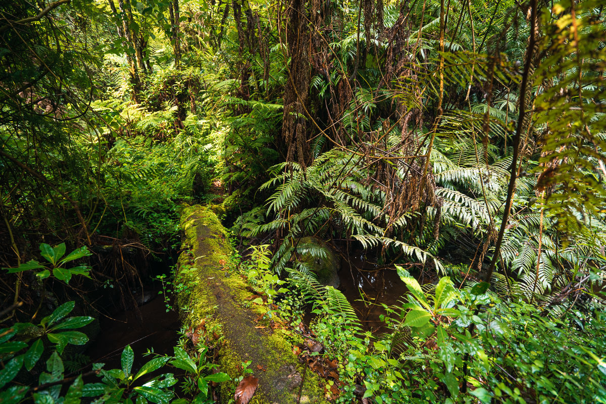
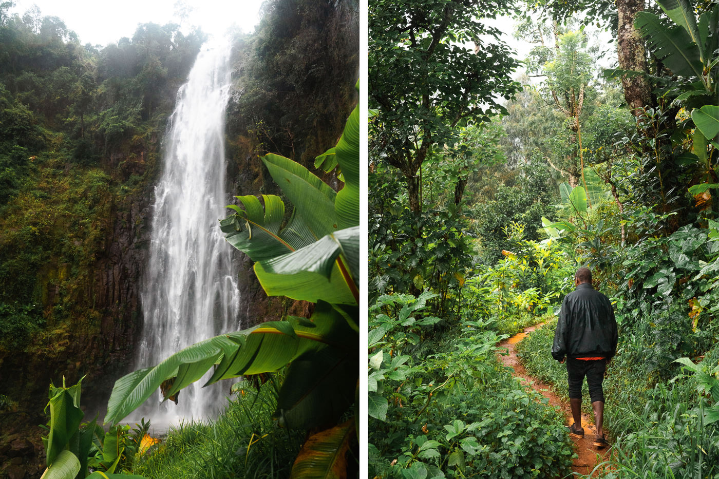
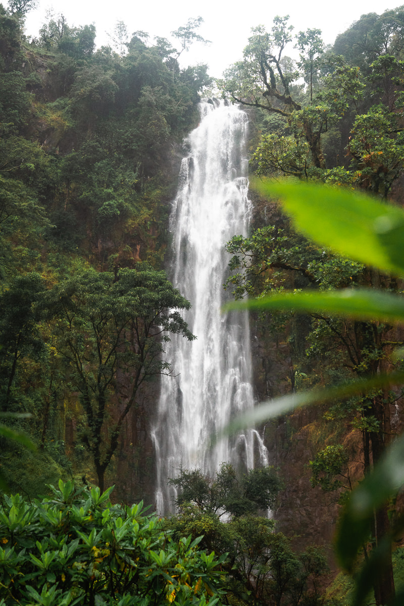
KIDHEGE FALLS HIKE

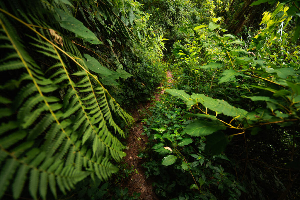
The Kidhege Waterfall is impressive but the hike to reach the falls is the highlight of this adventure amidst the incredibly diverse nature of the Shagayu Forest in Usambara, Tanzania. Hidden deep in the forest, determined hikers can find the peaceful oasis of the Kidhege Waterfall. The Shagayu Forest Reserve is one of 34 biodiversity hotspots in the world with a wide array of endemic plants. The trail is pretty wild and requires a guide for most hikers although I managed to find this waterfall on a solo adventure.
READ MY FULL BLOG POST: KIDHEGE WATERFALL HIKE IN SHAGAYU FOREST
KIDHEGE FALLS HIKE DETAILS
- Hike Distance: The total distance of the hike in Tanzania is about 15km out and back (return trip) if you begin and end at Mambo View Point Eco Lodge. I started at Mambo and finished at Mtae and my entire trek was 13km. There is a way to get close to the entrance and hike in and out for less than an 8-km hike.
- Hike Duration: The hike to and from Mambo should take about 4-5 hours in total although the forest section is thick and will slow many down as they avoid trying to slip.
- Hike Difficulty: This trail is quite difficult within the forest due to the narrow tracks, dense forestation, and slippery surface. However, there is nothing dangerous on the hike other than getting lost or slipping and your guide should mitigate those risks.
- Hike Incline: 800 meters (return trip)
MARANGU WATERFALLS HIKE
You may have heard of the Marangu Route, which takes hikers up to the summit of Mount Kilimanjaro. However, I doubt you have heard of the Marangu Waterfalls, which are a great attraction in the area before or after your Mount Kilimanjaro trek. Combine the short waterfall hike with a coffee tour or an exploration of the local Chagga cave system and you are set for a full day of adventures before your more serious trekking. The two waterfalls I visited on my hike were Ndoro and Monjo, and these are the most popular two although there are others to explore in the area also.
READ MY FULL BLOG POST: MARANGU WATERFALLS HIKE
MARANGU WATERFALL HIKE DETAILS
- Hike Distance: The total distance of the hike is 5.5km out and back (return trip).
- Hike Duration: The hike to and from the waterfall should take about 1.5 -2 hours.
- Hike Difficulty: This trail is quite manageable. Even in the rain, it was okay when we walked slowly. It’s a muddy road, which converts into a single-track trail and towards the end of the hike. The hardest part of the hike is the 100m or so of incline up the stairs when returning from the waterfall.
- Hike Incline: 212 meters (return trip).
- My Strava Map Upload: Marangu Waterfall Hike
OLMOTI CRATER HIKE
The Olmoti Crater is one of the hidden gems of the Ngorongoro Crater Conservation Area in Tanzania. A sunken caldera has formed over the past ten million years, to create the Olmoti Crater which means ‘Cooking Pot’ in the Maasai language. While it isn’t quite as dramatic in shape as Ngorongoro or Empakaai Crater, the lush surroundings and water source still attract a number of grazing animals such as elephants, buffalo, waterbuck, and antelope.
The hike into Olmoti Crater takes about thirty minutes and offers panoramic views of the region and a glimpse of the Munge Waterfall, which pours out of the crater. It’s short but one of the more underrated Tanzania hikes on this list.
READ MY FULL BLOG POST: OLMOTI CRATER HIKE IN NGORONGORO
OLMOTI CRATER HIKE DETAILS
- Hike Distance: The total distance of the hike is 3km out and back (return trip)
- Hike Duration: The hike can be completed in about 1.5 hours depending on how long you enjoy the views inside the crater.
- Hike Difficulty: This trail is quite basic as it is only 3 kilometers in distance. However, the trail is quite steep up and into the crater with 310m of total elevation on this hike. Keep in mind it is at an altitude of 2700m, so you will be breathing heavily. However, it isn’t a huge undertaking and most who are capable of walking for 1-2 hours will be fine.
- Hike Incline: 310 meters.
- My Strava Map Upload: Olmoti Crater Hike
KISASA WATERFALL HIKE
The Kisasa Waterfall, also known as Izasa or Kizasa (depending on who you ask), is an epic spot in amongst the Usambara Mountain Range. While it is possible to drive to the entrance and do a short walk down to the base of the falls, I suggest combining the falls with a hike throughout the village region. I walked from Irente Farm Lodge, passing through the village of Yogoi and was able to observe lots of local scenes on the route to the waterfall. Kisasa Waterfall is one of the top waterfall hikes in Tanzania
READ MY FULL BLOG POST: KISASA WATERFALL HIKE IN USAMBARA
KISASA WATERFALL HIKE DETAILS
- Hike Distance: The total distance of the hike is 7km one-way from Irente Farm Lodge although you can start from wherever you are staying.
- Hike Duration: The hike can be completed in about 2 hours or 4-5 hours if you make the return trip like I did.
- Hike Difficulty: This trail is quite basic as it follows the village roads all the way until you reach the falls and then you must do a sort descent on the dirt path.
- Hike Incline: This really depends on where you begin. I did a massive loop from Irente, through Yogoi and returned so my incline for the day was almost 1000m but it really doesn’t have to be that dramatic. I explain this in the full blog post linked above.
- My Strava Map Upload: Kisasa Waterall Hike
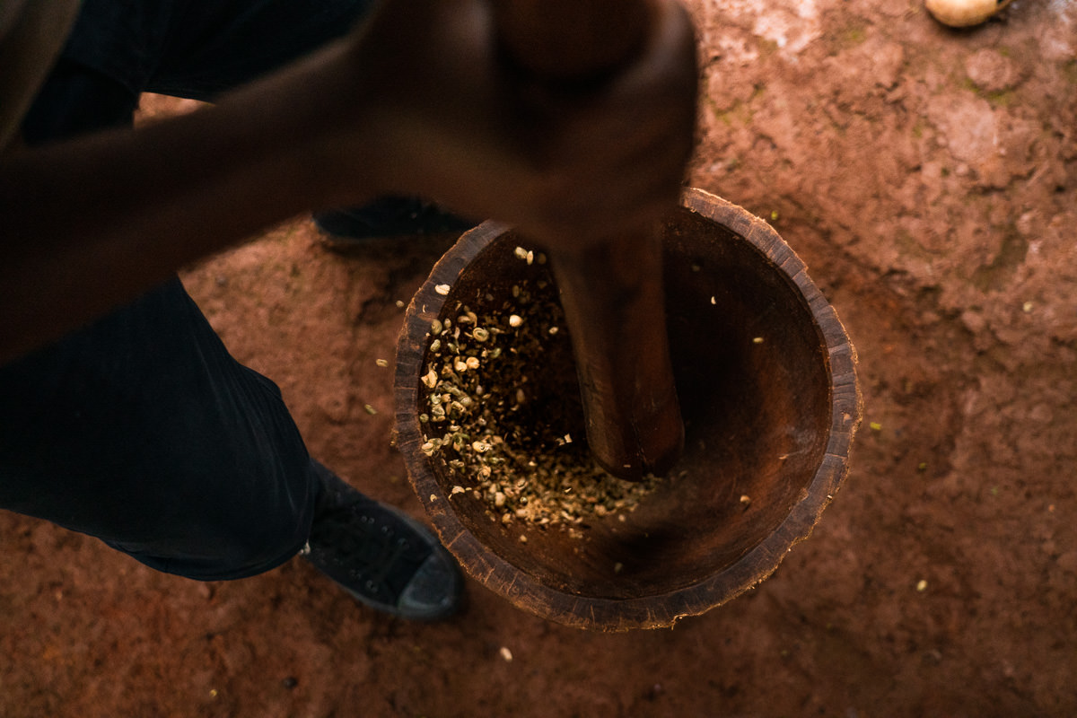
MATERUNI WATERFALL HIKE
Materuni Waterfall is a booming waterfall just 15-kilometers from Moshi Town. When combined with a coffee tour in the village, it makes for a perfect day trip before or after your Mount Kilimanjaro climb. With about eight kilometers of walking throughout the day and 300 meters of incline, this adventure is a great warm-up for the legs while also getting to immerse yourself in the local culture.
The tour begins by observing the entire process of making a cup of coffee, from seed to mug. After a locally produced lunch, you head off to explore the massive Materuni Waterfall.
BOOK YOUR MATERUNI WATERFALL HIKE: I did my Materuni Waterfall Hike & Coffee Tour with Altezza Travel and can’t recommend it enough. If you want to book with Altezza, they offer a 5% discount to my readers when you use the code JACKSON5 to book your waterfall hike.
READ MY FULL BLOG POST: MATERUNI WATERFALL HIKE
MATERUNI WATERFALL HIKE DETAILS
- Hike Distance: The total distance of the hike is 8km out and back (return trip) including the walk up to the coffee farm.
- Hike Duration: The hike to and from the waterfall should take about 1.5 -2 hours but including the coffee farm tour, you can expect the entire activity to last for 3-4 hours.
- Hike Difficulty: This trail is quite manageable. Even in the rain, it was okay when we walked slowly. It’s a muddy road, which converts into a single-track trail towards the end of the hike. As long as you are comfortable with uneven surfaces and some slight incline, this will be a walk in the park.
- Hike Incline: 321 meters (return trip) including the coffee farm.
- My Strava Map Upload: Materuni Waterfalls Hike
THINGS TO KNOW WHEN HIKING IN TANZANIA
- Can’t hike alone: In Tanzania there is almost no major hike or trek you can do alone. You will always need a guide or a ranger. The only trek on this list I was allowed to do alone (despite having the map for most of them) was my long trek in Usambara. Therefore it gets costly as you always have to pay for guides and rangers.
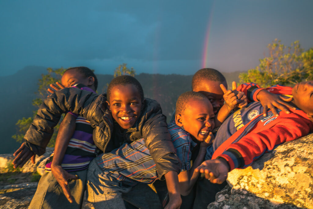
- Wildlife: You are always a chance to see wildlife in Tanzania. Even on hikes that you think are quite busy like Mount Meru we saw buffalo, giraffe, warthog and saw leopard poop. In the forest areas you might be lucky to bump into some monkeys are to find a chameleon.
- Tipping is custom: Expect to pay a minimum of 10% of your trip fee to the crew of porters. It can be a bit of a weird topic and some of the guides were a little pushy about it almost stating that it is mandatory, which isn’t really a tip in the end but make sure you pay it, these guys have factored it into their wage. Before you book a trip, add on (minimum) 10% and ask yourself if you can afford it because that is the real price.
- Explore further: There is so much more to explore than Mount Kilimanjaro and Mount Meru. Those were great hikes but my favorite experience was my solo trek in Usambara or waking up on top of Mount Longido in our tent. Explore more than the brand name hikes!
- Temperature: It does get cold on these summits so prepare appropriately. The elevations are high in Tanzania and you will often start a trek at 2000m, which is just less than Australia’s highest peak! Don’t be under-prepared because it feels sunny in Arusha. You will regret it on the peak of Mount Hanang or Longido.
- Incline: Because most of the trekking is on volcanoes, it’s very steep. Trekking poles are a great help but just go slowly because your greatest chance of getting injured on a hike is due to incline.
- Maps: I found maps.me to be very helpful and it had most of the routes. I usually had a guide but it was still good to note that you should download the Tanzania maps on maps.me before you arrive.
- Internet: Wifi sucks in Tanzania as of 2021. I bought a sim card and used it all the time as it wasn’t too expensive. 25GB was just $17 so that should get you going for the whole month.
- Book as you go: You don’t need to book everything in advance and can definitely just arrive in Arusha and people will approach you on the street for excursions and treks.
- Safety: I found Tanzania very safe and I often walked alone in Arusha at night, had my camera with me all the time, and never had a problem. People were very friendly everywhere and I imagine that incidents against tourists are very few and far between because they value the tourism trade so much and don’t want to threaten it. Tanzanians also just seem genuinely friendly.
Those are just a few random tips that should help you out along the way.
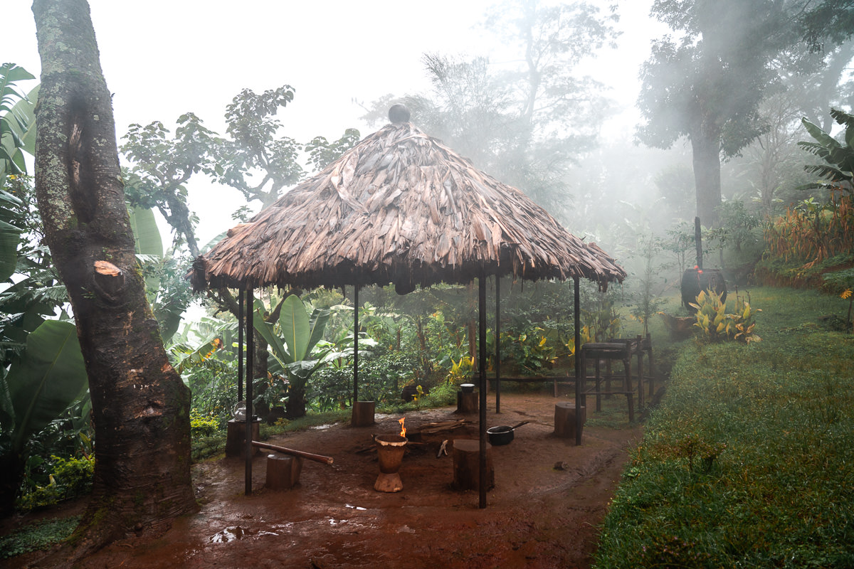
WHERE TO BASE FOR HIKING IN TANZANIA
I based in Arusha for my entire two months in Tanzania. It’s a good base and has lots of cafe’s, restaurants and stores within walking distance.
We even used the dentist and massage centers while in Arusha between treks. I would just take my hiking bag and leave my luggage then come back after every expedition. Here’s a few tips about basing in Arusha.
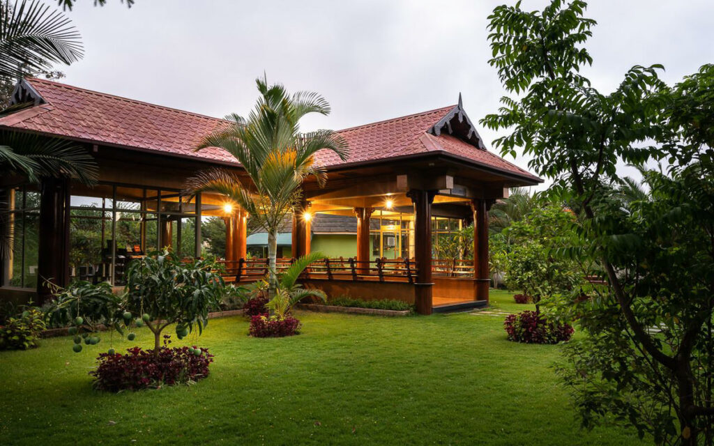
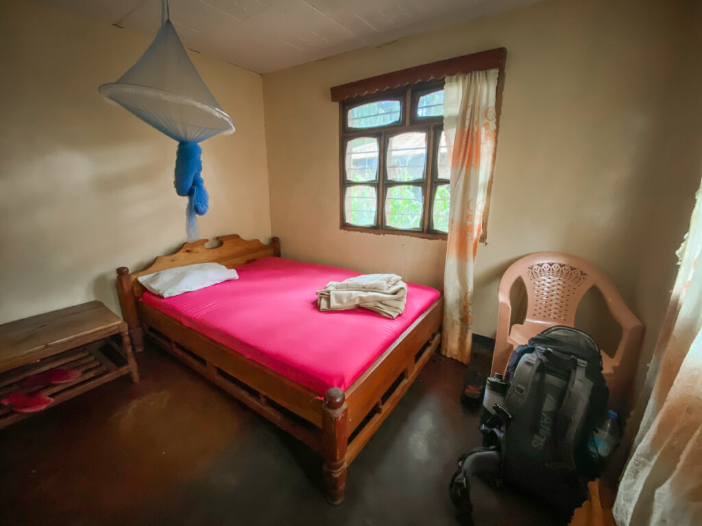
Accommodation: I’ve stayed in a fancy hotel provided by our tour operator and cheap hostels. A hostel can be as low as $10 a night per person including breakfast and the fancy hotels can get up to $200 per night with a swimming pool and luxury facilities.
After staying at Outpost Lodge, Kibo Palace, and the Whitehouse Tanzania I found my favorite chill spot at Wakawaka House. It’s is super chill, has a decent enough breakfast (included) of fruit, coffee, eggs, and toast, and is great for me at $22 a night for a private room with a private bathroom ($11 per person). It’s an 800m walk to Kitamu Cafe where I do my work on the laptop so life is simple, cheap, safe, and for me, that’s a very great combo at a basic price.
TOP 3 PLACES TO STAY IN ARUSHA
- Most Luxurious: Gran Melia Arusha – Incredible view of Mount Meru and premium 5-star luxury.
- Where I stayed on a budget: Wakawaka Hostel– Cheap, great location and chill vibes
- Best value place to stay: Tulia Boutique Hotel & Spa – very cheap price but has pool and high quality facilities and rooms.
WHERE TO EAT IN ARUSHA
Restaurants: There are lots on offer in Arusha from traditional barbecue to Ethiopian to Greek or Chinese. I’ve tried George’s Tavern (Greek), Chinese Whispers, Kitamu Cafe, Uzunguni, and an Ethiopian Restaurant among others. There is pretty much something for everyone. A local-style meal of chapati, grilled fish, and vegetables can go for $5 USD while at a foreign restaurant like Greek can be closer to $10 or $15 for a full meal and sides.
Lots of street vendors are selling food also and you can eat very cheaply if you stay away from the major sit-down restaurants. So far, I haven’t had a bad meal and have enjoyed the moderately spicy food that has a hint of Indian to many of the dishes.
GETTING AROUND IN ARUSHA
Tuk-tuks, motorbikes, taxis and the always-crammed vans are the main ways to get around town. However, I’ve been walking almost everywhere as the main points of interest are all within a few kilometers. A tuk-tuk ride for 1-2 kilometers can cost as little as $1.
WIFI IN TANZANIA
There are lots of cafes and hotels that claim to have WiFi and they do. Does it work? Barely. I gave up after a couple of weeks on WiFi and bought a sim card. 30Gb costs $21 USD and that’s all I use now. If you just want Facebook you can probably use the local WiFi but for a digital nomad or anyone who needs to do something with a greater need for a strong connection just buy a sim card.
The 4G has been working very well and I’ve been blogging, uploading big files to WordPress, uploading YouTube videos, and so forth. So in that sense, Arusha is actually not a bad spot for digital nomads because the data is cheap and works but the WiFi is not reliable. I’ve been working at Kitamu Cafe, which has lots of power outlets and good food. Combine that with my huge data allowance and I’m all set to get a lot of work done.
MORE TANZANIA BLOG POSTS
- For the mountain lovers: 14 BEST HIKES IN TANZANIA
- The top waterfalls: 12 AWESOME WATERFALLS IN TANZANIA
- The must-do: CLIMBING KILIMANJARO: WESTERN BREACH ROUTE
- Tanzania’s second highest peak: MOUNT MERU CLIMB IN TANZANIA
- Best place to base in Tanzania: WHERE TO STAY IN ARUSHA
- What to do: 25 AWESOME THINGS TO DO IN TANZANIA
- My favorite solo adventure: USAMBARA MOUNTAINS
TOP 3 PLACES TO STAY IN ARUSHA
- Most Luxurious: Gran Melia Arusha – Incredible view of Mount Meru and premium 5-star luxury.
- Where I stayed on a budget: Wakawaka Hostel– Cheap, great location and chill vibes
- Best value place to stay: Tulia Boutique Hotel & Spa – very cheap price but has pool and high quality facilities and rooms.