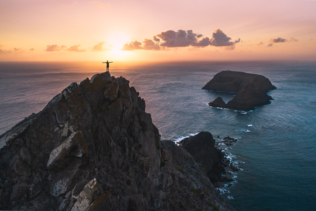
Porto Santo is one of the most underrated islands I’ve ever been to when it comes to hiking. While thousands come every year to lay in the sun, don’t underestimate the adventurous trails that take you on a journey to the top of the many volcanic peaks across the island. In this article, I will show you the eight best hikes on Porto Santo Island from my own personal experience. This is a Porto Santo hiking guide I created after climbing all of the peaks on the island.
8 BEST HIKES ON PORTO SANTO ISLAND
As you read this blog post, you will be able to click on the links at the bottom of each hike, which will take you to a more detailed article about each individual hike. I wrote a blog post about every single hike on Porto Santo Island with photos, details about how to get there, and what to expect. So, if you see a hike you are interested in, just click the link to find out all about that trail.
BEST RENTAL CAR COMPANY ON PORTO SANTO
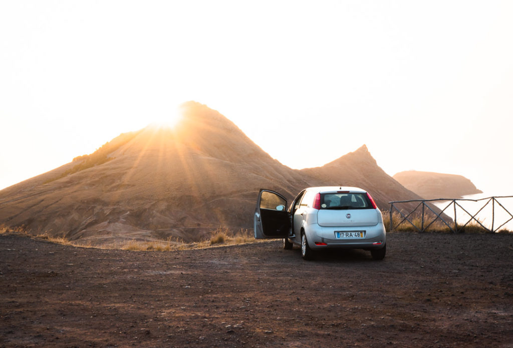
When you book your Porto Santo Rental Car online, I personally recommend and always use Discover Cars. They search for both local and international companies, so you get the best deal! MUST Read: Guide to Renting a Car on Madeira
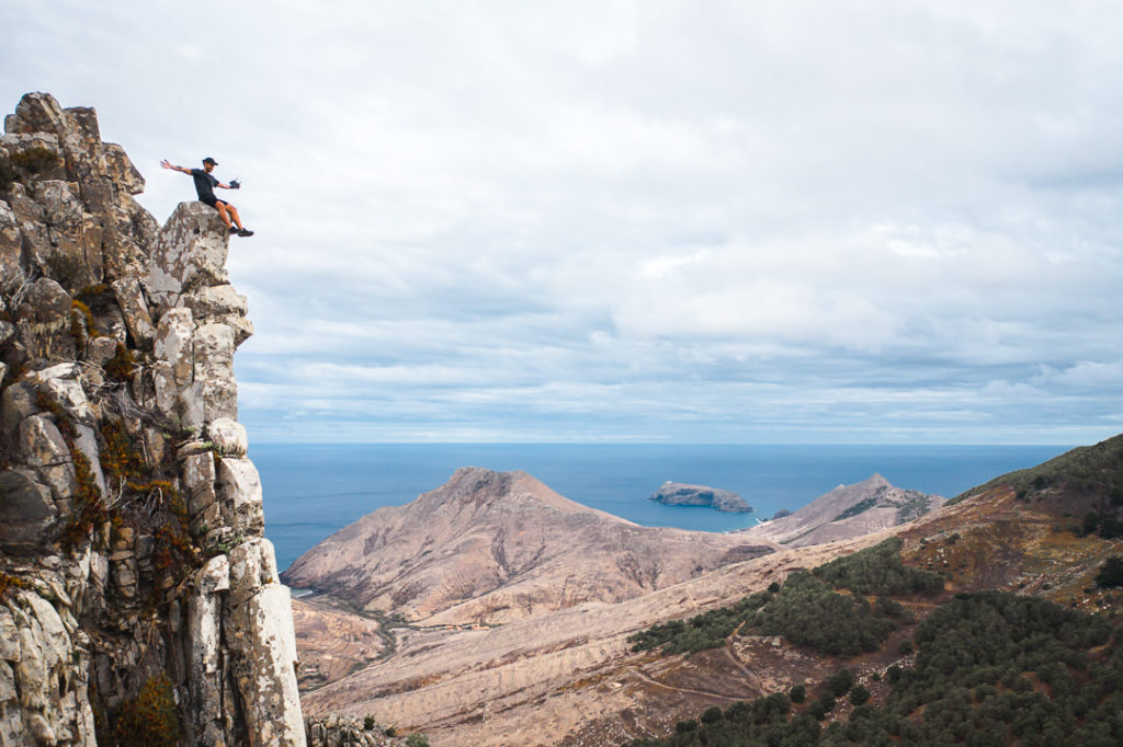
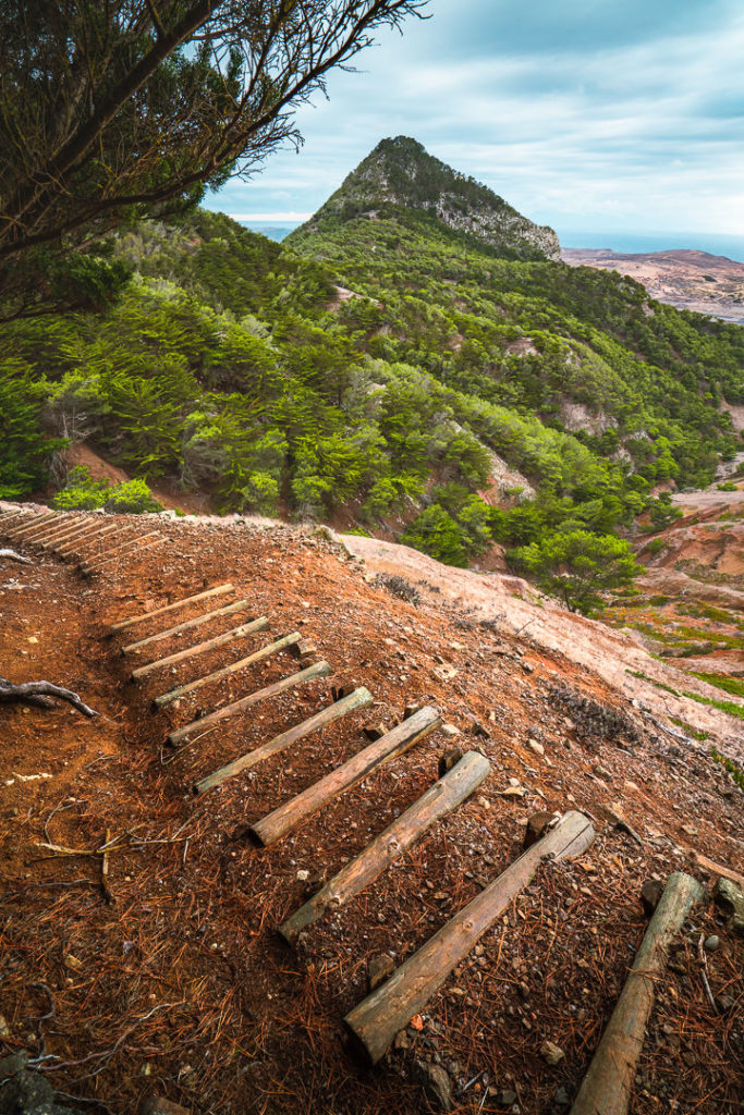
‘THREE PEAKS HIKE’ PICO CASTELO, PICO DO FACHO & PICO JULIANA HIKE ON PORTO SANTO
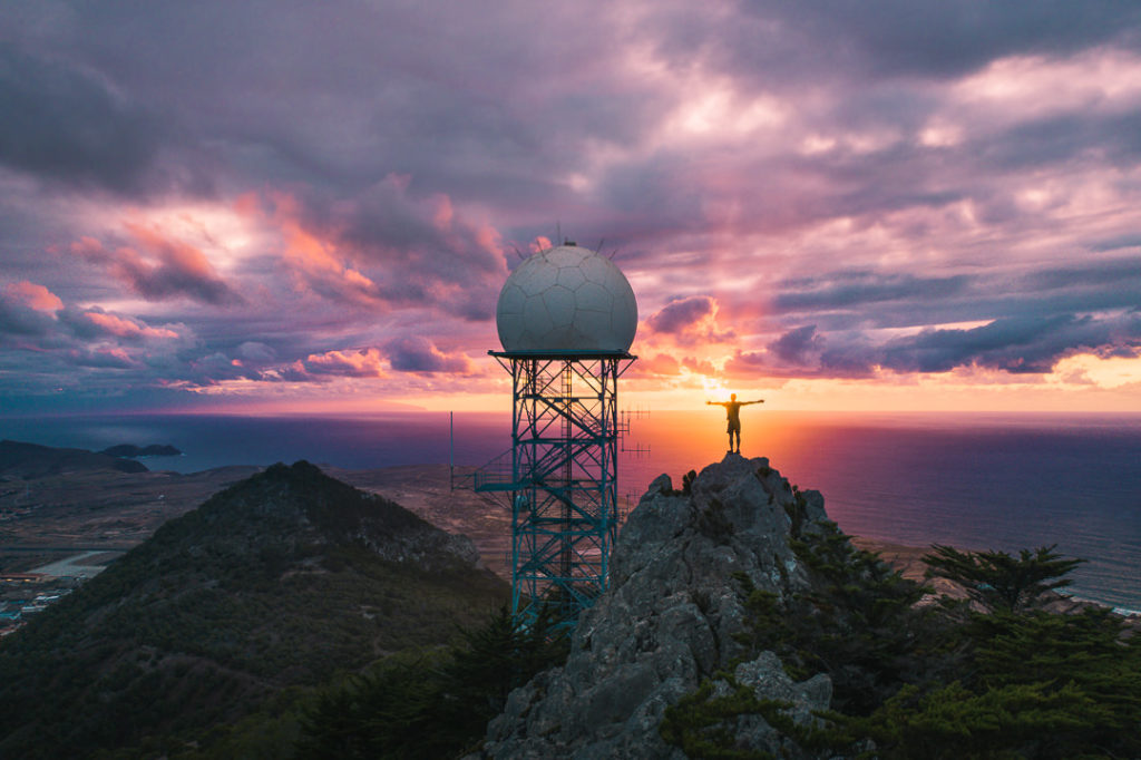
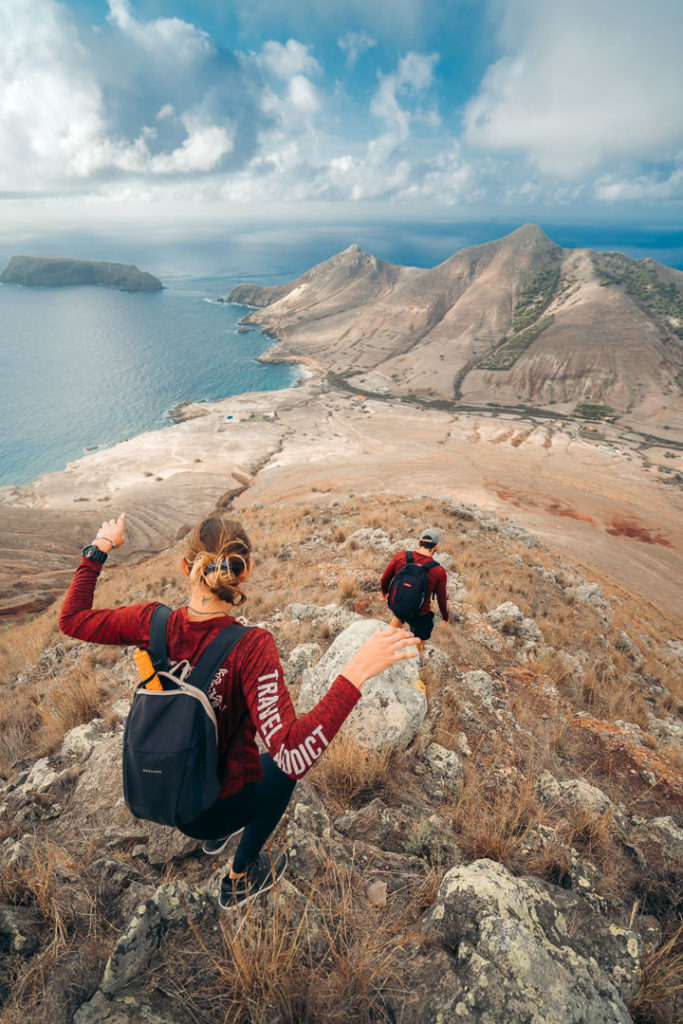
This is a hike on Porto Santo that I have named ‘The Three Peaks’ hike as it tours three of the top peaks on the island. The route takes you to Pico Juliana, Pico Castelo, and Pico do Facho on a 9-kilometer round-trip adventure. It’s a steep trail but the panoramic views from the summit of each peak are well worth the arduous journey!
- Hike Distance: The total distance of the hike was 9 kilometers on the circuit but there are a variety of options to shorten or lengthen the trail.
- Hike Duration: The hike will take you about 3 hours if you have a quick look at each viewpoint or probably 4-5 hours if you pack lunch and spend some time enjoying the view at each spot. The incline will slow you down a little also!
- Hike Difficulty: This trail isn’t too difficult with the hardest part being the incline. 666 meters of incline over just nine kilometers is quite steep and many will find that challenging. The trail itself was predominantly natural with dirt, clay, and gravel being the main surface underfoot. In several sections, you needed to scramble on the rocks a little bit but never with exposure to a drop-off and it wasn’t necessary unless you wanted to reach the very highest rock. You can enjoy the great views without scaling rocks like I was inclined to do. Overall, I’d say this trail can be done with kids who are used to a steep climb, and bringing a dog along would be reasonable.
- Hike Incline: Total incline for the hike was 666 meters.
- My Strava Map Upload: Three Peaks hike on Porto Santo
- Check out all the details and photos of this hike: The Three Peaks Hike

TOP 3 PLACES TO STAY IN PORTO SANTO
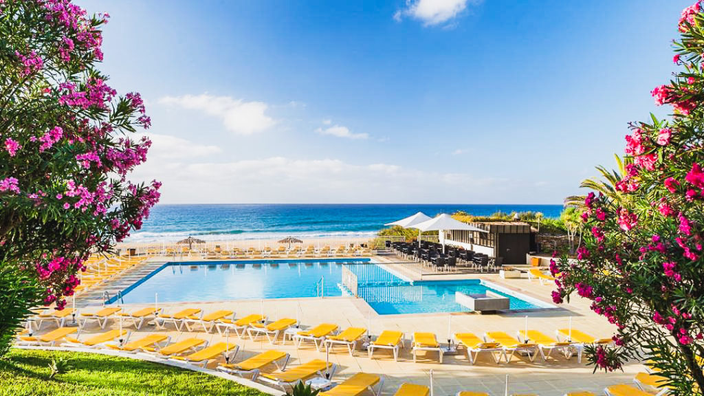
- Ultimate Luxury: Hotel Porto Santo & Spa best location, luxury and view
- Best 5-Star: Pestana Porto Santo Beach Resort & Spa Porto Santo’s top-rated resort
- Budget all-inclusive: Vila Baleira Porto Santo meals, alcohol included, private beach
PICO DE BAIXO HIKE ON PORTO SANTO
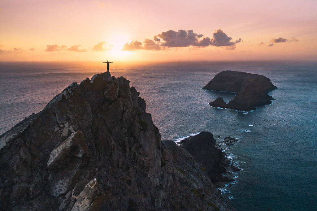
The Pico de Baixo peak is a 209-meter, steep mountain on the east side of Porto Santo Island. It’s not an official hiking route but it is one of the best sunrise views on the island and a fun climb involving some sketchy scrambling, and some sand dune sliding. This is an adventure for those willing to get a little dirty, maybe a few scrapes, and do some scrambling up the mountainside.
- Hike Distance: The total distance of the hike was 4 kilometers but you can shorten it if you don’t walk through the tunnel and just go straight up and down the peak.
- Hike Duration: The hike will take you about 2 hours if you have a break at the viewpoint to watch the sunrise. If you just go straight up and down, I’m sure it can be done in under 1.5 hours.
- Hike Difficulty: This is an unofficial trail. Very unofficial. When I arrived at Porto dos Frades, I had no idea it was possible to climb the peak. I just drove to Porto dos Frades because I knew it would face east for sunrise. However, I saw a possible route up and just went for it. If you go up and down via the sand dune side, on the eastern edge of the mountain it is much easier. I figured this out once I was at the top and it was light so I could analyze the best path. I went up from the south side in the dark and it was quite technical and involved a lot of scrambling so I would avoid that as it wasn’t super safe. You can see on the map I have linked below the route I took on the east side up the peak. This was super easy (if you are capable of scrambling and handling some incline) to get up and down with just a few slips here and there. The peak is 203 meters so you can expect to get the legs pumping as you go directly up the steep hill.
- Hike Incline: Total incline for the hike was 250 meters.
- Check out all the details and photos of this hike: Pico de Baixo Hike
- My Strava Map Upload: Pico de Baixo
VEREDA PICO BRANCO & TERRA CHÃ HIKE
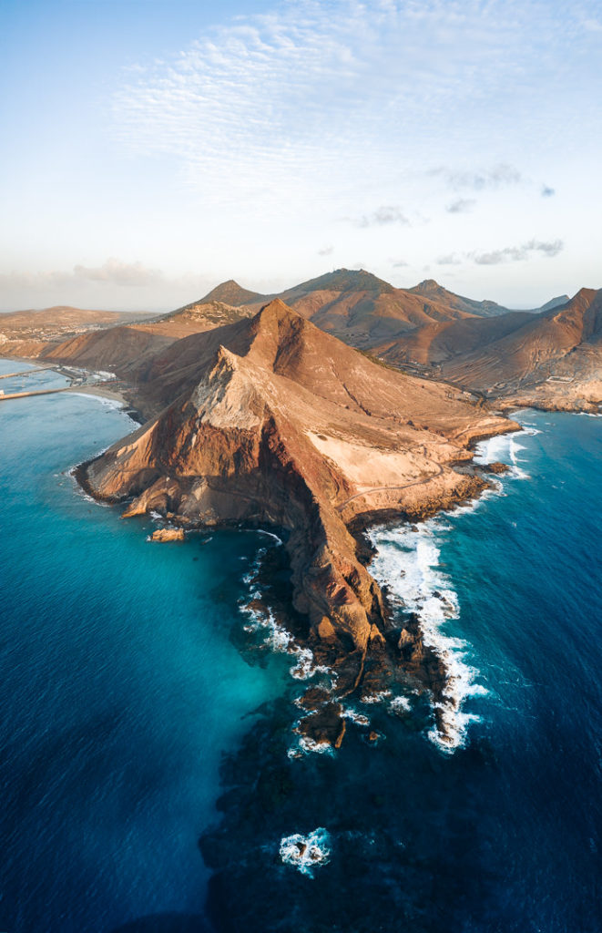
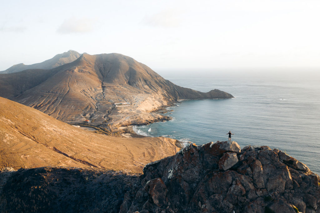
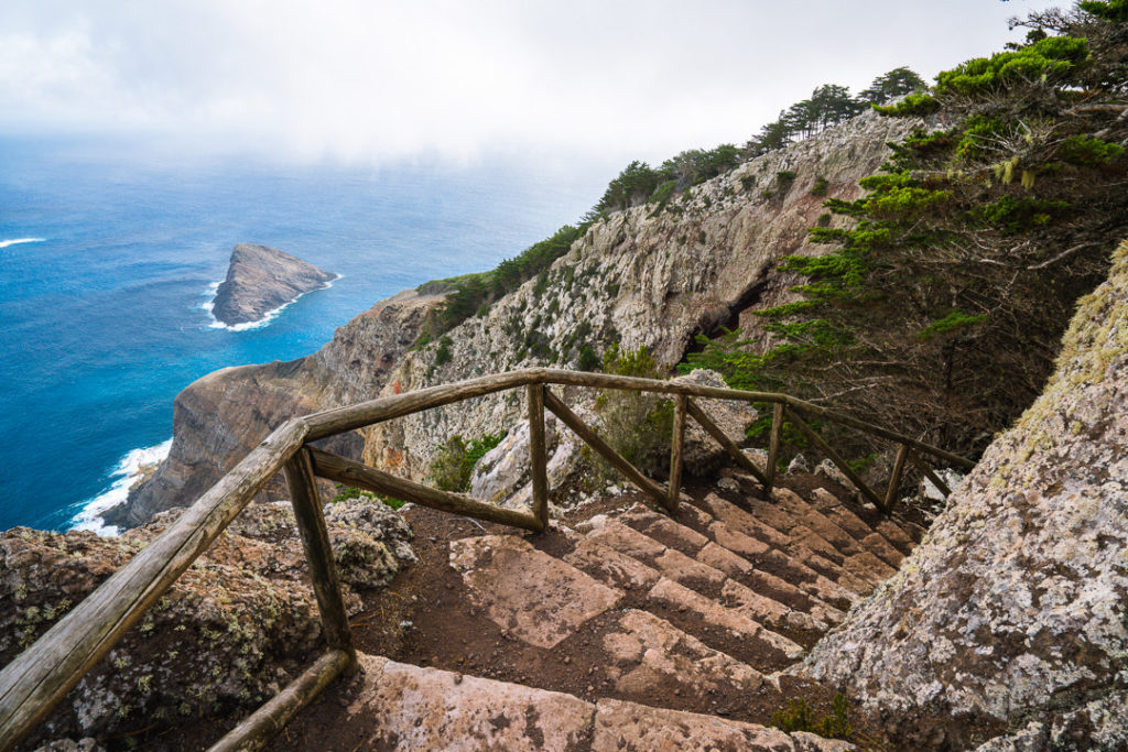
The Vereda Pico Branco and Terra Chã hike is the most popular hike on Porto Santo Island. The route leads you to the second-highest peak on the island, Pico Branco. The other viewpoint on the trail is Terra Chã, which has coastal views and is one of the greenest areas on the entire island. The hike is just 5 kilometers round-trip and is a perfect sunrise adventure. This
- Hike Distance: The total distance of the hike was 5 kilometers round-trip.
- Hike Duration: The hike will take you about 2 hours if you enjoy a few moments at each viewpoint.
- Hike Difficulty: This hike was pretty well maintained and had safety railings at most of the sections where you might find a drop-off. There was some incline but nothing to trouble you, so overall I would say this hike is suitable for children, families, and a pet dog.
- Hike Incline: Total incline for the hike was 336 meters.
- My Strava Map Upload: Vereda Pico Branco and Terra Chã hike
- Check out all the details and photos of this hike: Vereda Pico Branco and Terra Chã hike


ZIMBRALINHO BEACH AND MIRADOURO FLORES VIEWPOINT HIKE
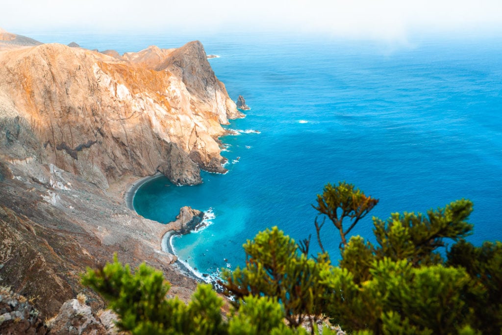
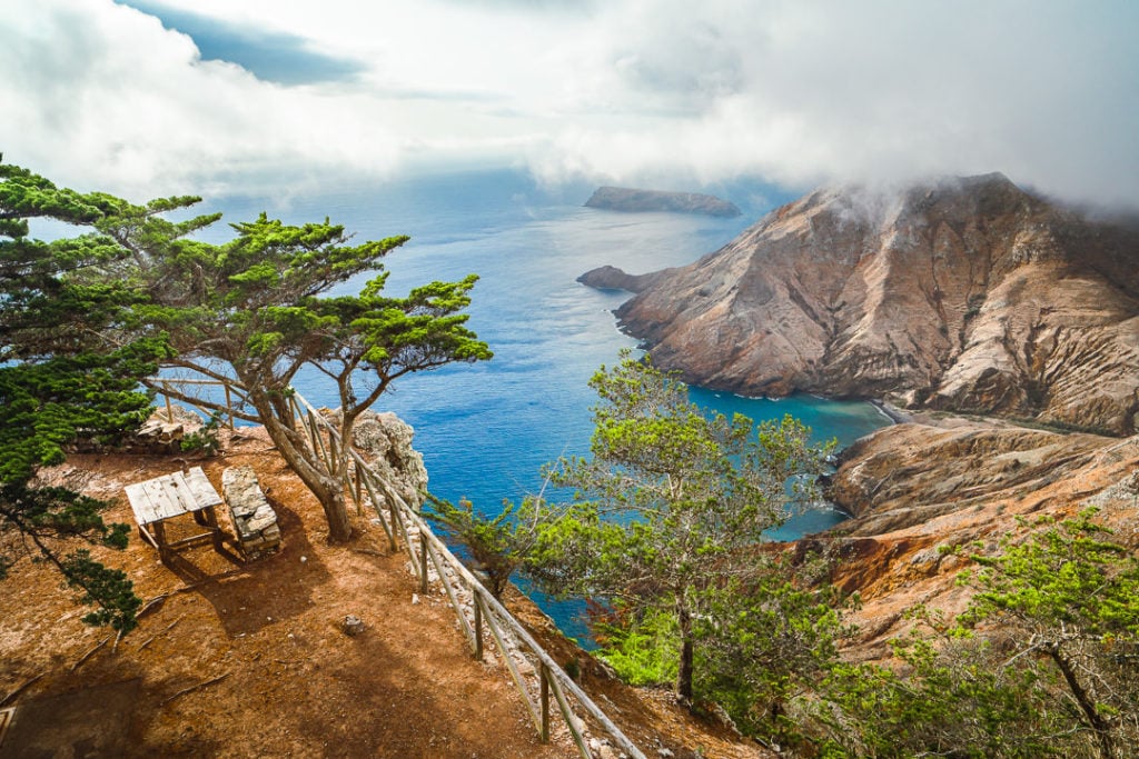
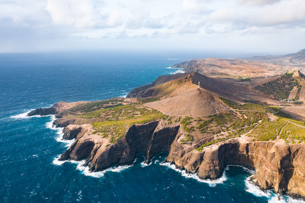
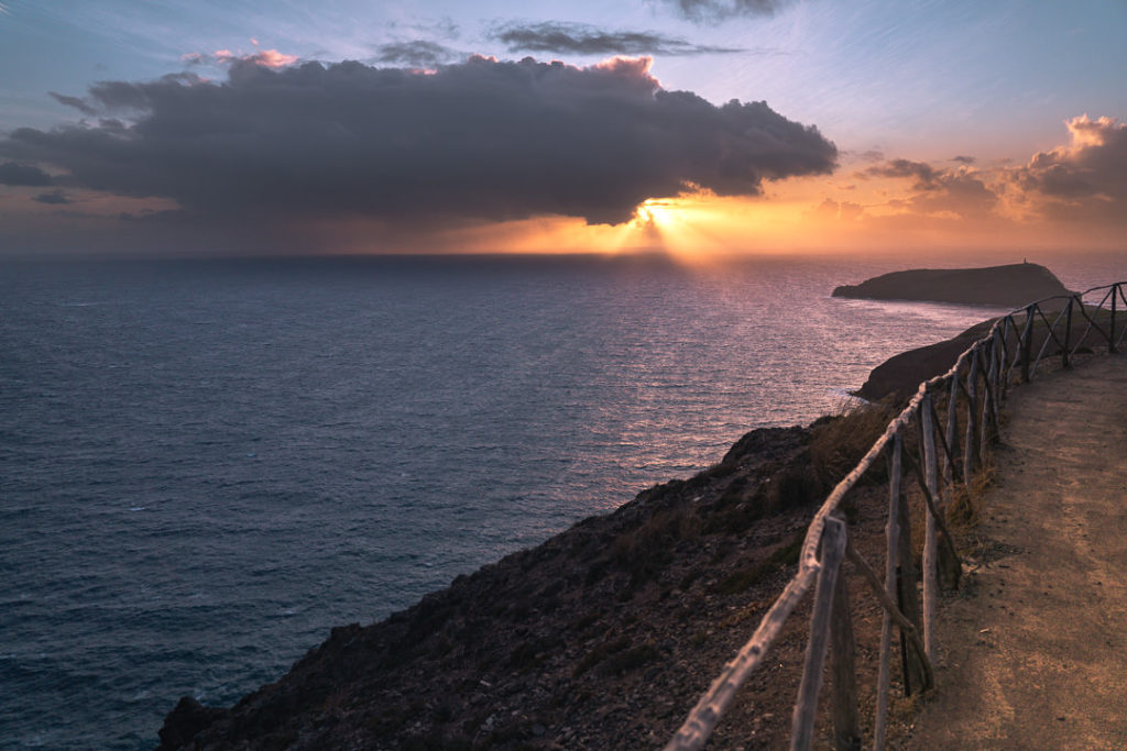
On the east coast of Porto Santo Island, the hike to Zimbralinho Beach and Miradouro Flores Viewpoint is a great coastal trail for sunset views. Most of the trail can be completed by car or motorbike along the roads but it’s a short coastal trail, which is great for hiking and enjoying the views. Because it faces east, you can expect beautiful lighting and colors in the sky at sunset! For me, this was the best coastal hike on Porto Santo Island with a number of great viewpoints.
- Hike Distance: The total distance of the hike was 6 kilometers on the out and back circuit starting from the turn off on the main road. However, most of the route can be driven by car so if you prefer to climb the hill from behind your steering wheel and avoid the 100-meter incline up the first hill, there’s nothing wrong with that.
- Hike Duration: The hike will take you about 2 hours or maybe a little longer if you stick around for sunset at Miradouro Flores Viewpoint at the end of the day.
- Hike Difficulty: This trail isn’t very difficult at all. In fact, most of the trail is on a road whether it be paved like in the beginning or like the gravel road near Zimbralinho Beach. You are on the coastal cliffs at times so take care especially when it’s windy. This hike is suitable for families, children or to walk a dog.
- Hike Incline: Total elevation was 250 meters for the entire circuit.
- Check out all the details and photos of this hike: ZIMBRALINHO BEACH AND MIRADOURO FLORES VIEWPOINT HIKE
- My Strava Map Upload: Zimbralinho Beach and Flores Viewpoint Hike
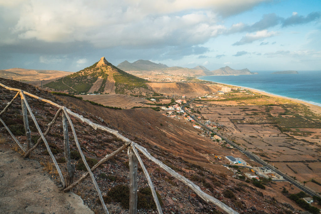
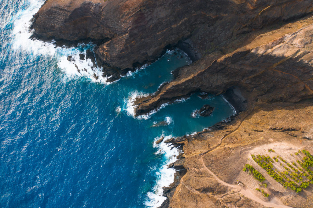
PICO DO MAÇARICO HIKE ON PORTO SANTO ISLAND
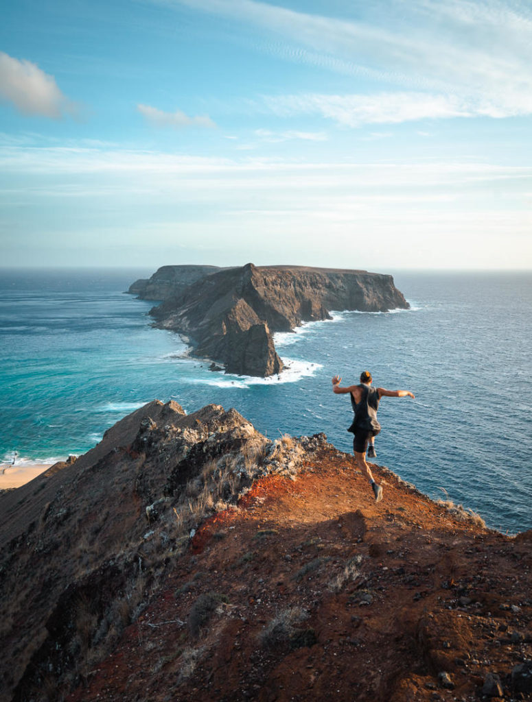
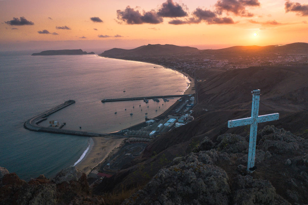
The Pico do Maçarico hike on Porto Santo Island is a great peak for either sunrise or sunset with panoramic views of the entire island. The route is short but very steep up the rough trail. There is no official path but you will find a worn trail that makes it easy to access the summit where you will find a large white cross overlooking the ocean and the whole island of Porto Santo.
- Hike Distance: The total distance of the hike was 2.5 kilometers from the main road.
- Hike Duration: The hike will take you about 1 hour, not including the time you spend at the summit.
- Hike Difficulty: This is an unofficial trail although you can see it was previously used more frequently. The incline is quite steep but short-lived. The trail begins with a march up the grassy hill and then you traverse the rocks toward the summit. You never need to clamber on the rocks with exposure to your side and can stay close to the fence, which is on the side away from the cliff edge. At the summit, you have plenty of space and I found this one quite safe. Adventurous children would enjoy this hike and I think it would be suitable to bring a dog on the trail.
- Hike Incline: Total incline for the hike was 237 meters.
- Check out all the details and photos of this hike: Pico do Maçarico hike
- My Strava Map Upload: Pico de Maçarico
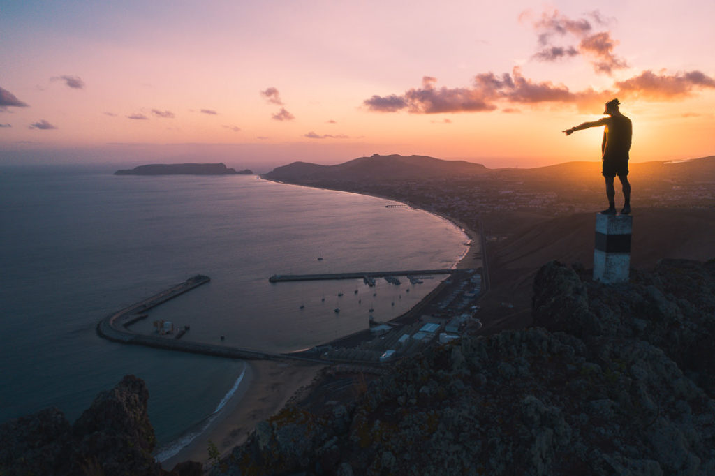
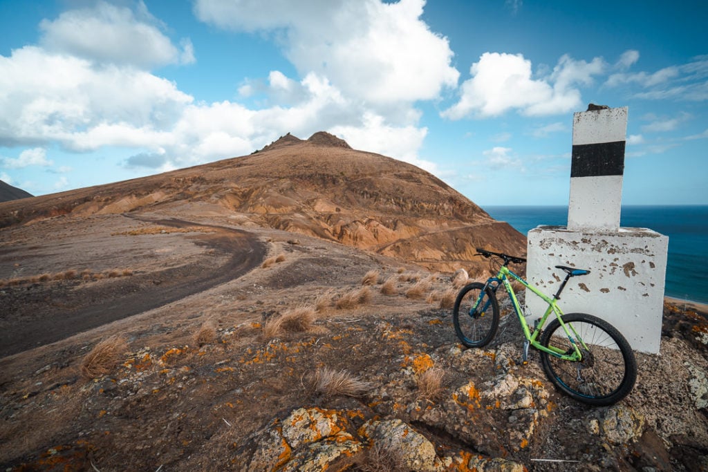
PICO DE ANA FERREIRA SUNSET HIKE AND SUNRISE CAVE
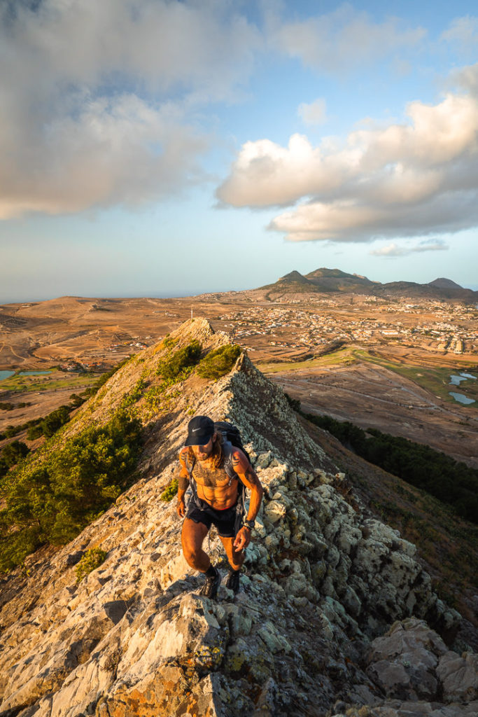
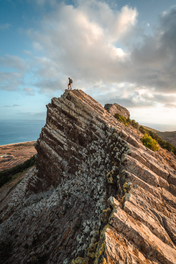
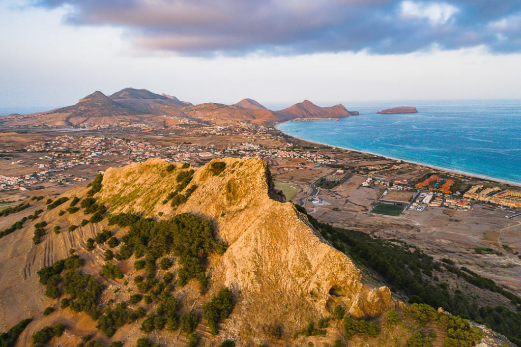
Pico de Ana Ferreira is an incredible rock formation on Porto Santo, which looks like a spine of jagged rocks running down the center of the island. There are several attractions at Pico de Ana Ferreira such as the numerous caves to explore, a hike to the summit along the jagged ridge, and the ‘Organ Pipes’ rock formation.
This hike can be done in a few different ways so it doesn’t have any set ‘details’ as such. There are three main things to do at Pico de Ana Ferreira. I combined them all into one hike, but you can definitely just do them individually.
Check out all the details and photos of this hike: Pico de Ana Ferreira hike
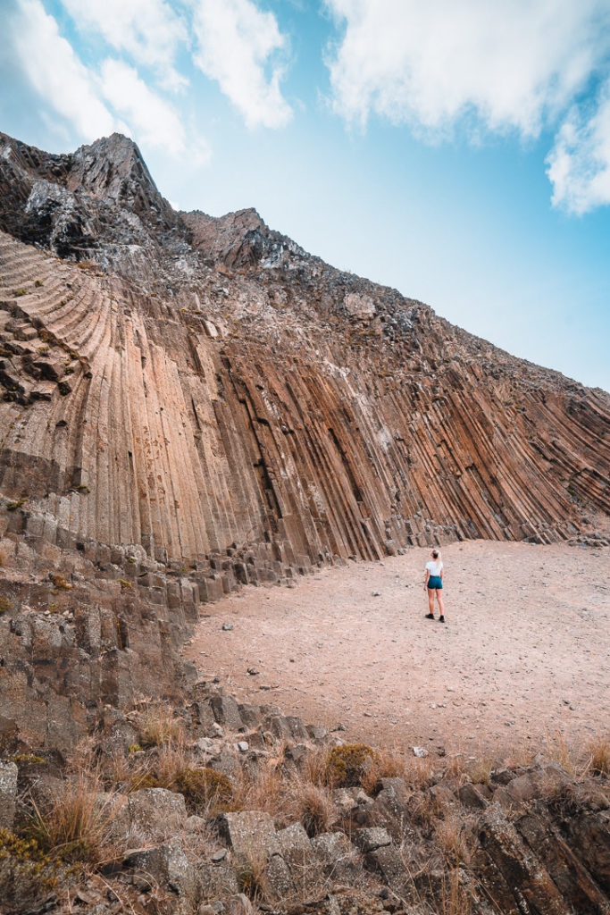
Organ Pipes: This rock formation is incredibly unique, with an organ-pipe arrangement of pentagonal rock columns, which was caused by volcanic activity millions of years ago. The crest was produced by differential erosion, which means the ‘host’ rocks were worn out exposing the more durable and resistant inner layer of mugearitic rock.
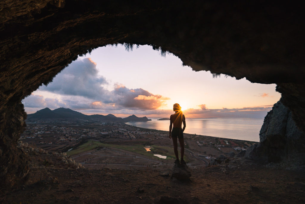
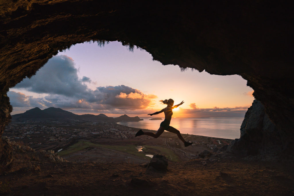
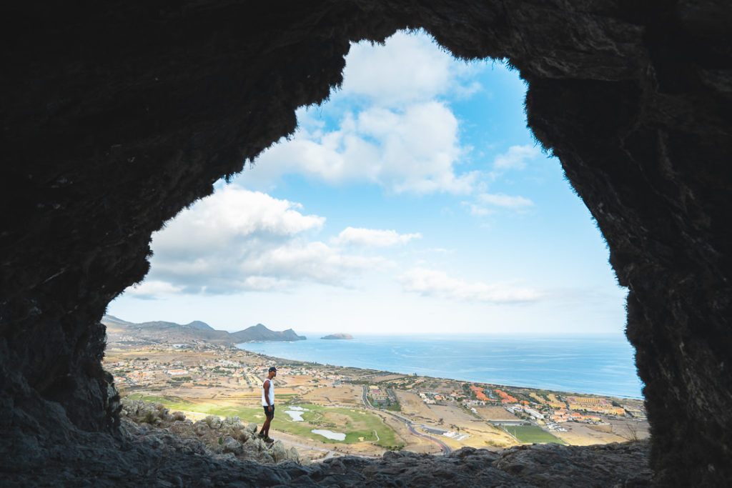
Sunrise Cave: After visiting the ‘Organ Pipes,’ you will spot a trail to the left of the rock formation. Follow this trail to the left and it will take you on a 15-minute walk around the hill. Once you reach the caves, you will see there are two separate caves about 5 meters wide. The great part about these caves is that they face directly to the east so you can sit inside the cave, hiding from any wind, while waiting for the sun to rise over the ocean in the east. I visited the caves during the day and for sunrise.

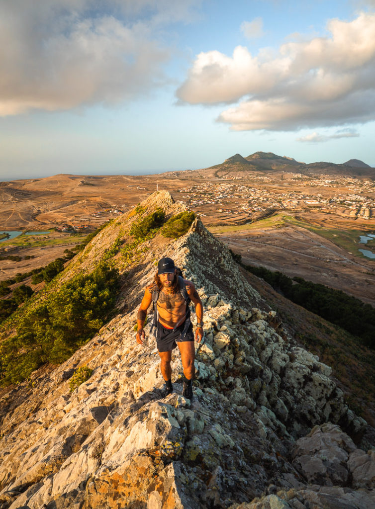
Hike to the summit: The final part of the adventure to Pico de Ana Ferreira is the hike. It’s not for everyone, but if you are adventurous, traversing the spine of the rock formation will be one of the highlights of your Porto Santo trip. After visiting the cave, you will climb around the corner and get on top of the cave. This is easier than it sounds. You then basically take a direct route to the summit along the ridge.
PICO DO CONCELHO HIKE
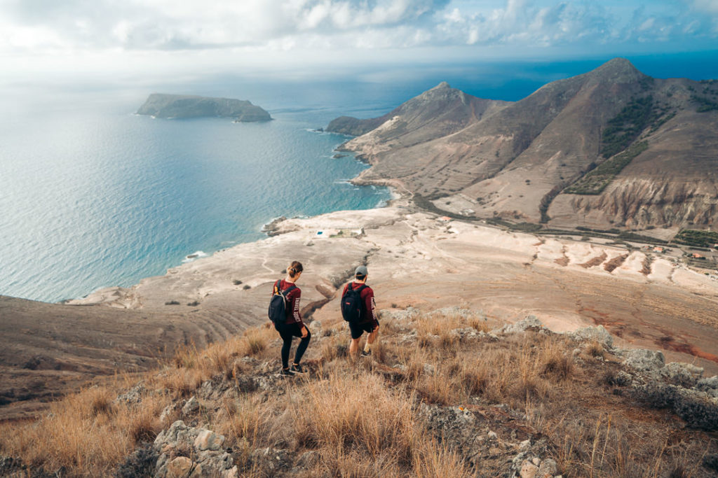
The Pico do Concelho hike on Porto Santo Island is a steep climb up an undefined trail, which rewards hikers with epic views along the east coast of the island. It’s a perfect hike for sunrise and I can all but guarantee you will be up there alone as the sun creeps over the horizon to announce a new day.
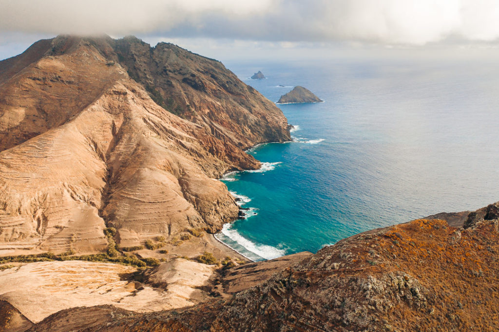
The views from the top are actually pretty epic. On the left, you look down the coast to the north and can see directly Pico Branco and Terra Chã. To the right, you can see all the way to Pico de Baixo and the small island in the distance called Ilhéu de Cima. Below, you have a great view of the incredible Porto dos Frades tidal pools, which are a great spot for snorkeling. I think the best part about the view was just how wild and free it felt. There was zero chance of another hiker coming up to join us and we felt on top of the island, all by ourselves.
- Hike Distance: The total distance of the hike was 3.2 kilometers.
- Hike Duration: The hike will take you about 1.5 hours of moving time and then of course 30-60 minutes at the summit enjoying the sunrise. Therefore I would bargain to spend 2.5-hours on this adventure.
- Hike Difficulty: This is an unofficial trail. Very unofficial. Normally once I reach the summit I can identify a better path down than when I came up but this was not the case at Pico do Concelho. We literally just scrambled straight up the side from the road and that’s how we went down. It wasn’t pretty but I felt it was fairly safe if you went slow. It’s gravel and rocky and quite slippery so can be tough to handle. This is really for those who love a bit of an adventure. It’s also straight up a brutally steep hill, which is a rough way to wake up! I found it quite safe with no big drop-offs but it was definitely an ‘off-beat’ adventure to say the least.
- Hike Incline: Total incline for the hike was 322 meters.
- Check out all the details and photos of this hike: Pico do Concelho hike
- My Strava Map Upload: Pico do Concelho Hike
PICO DO ESPIGÃO HIKE
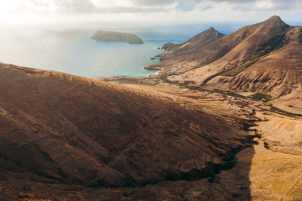
The Pico do Espigão hike is a very short but steep trail to a rocky viewpoint in the south of Porto Santo Island. With just over 200 meters of elevation in less than one kilometer, the trail up will definitely get your heart racing. At the summit, you have views of the nearby Pico de Ana Ferreira in the center of the island but you can also see all the way down to the peaks in the east of Porto Santo. The best views are out over the small island, Ilhéu de Ferro, which is right in front of you on the coast. It’s a great sunset viewpoint that you can get to quickly for a short and sharp evening hike.
- Hike Distance: The total distance of the hike was 2 kilometers from the main road near the golf course but you can access this viewpoint from several different directions and routes. I prefer the route from the golf course as you get to enjoy the rocky crescent.
- Hike Duration: The hike will take you about 30-minutes to one hour, not including the time you spend at the summit.
- Hike Difficulty: Depending on where you begin the trail will impact the difficulty. I suggest beginning at the golf course and heading up the hill. This way you have a gravel road for the majority of the trail and then once you reach the ridge, you traverse the rocks. The rocky ridge is fun and never too dangerous as you can always take the inside, which means no exposure to any drops. I came directly up the hill from beneath Pico de Ana Ferreira so it was a bit of a slippery, steep climb for me but still nothing too drastic apart from the incline. It wasn’t the best nor the toughest hike on Porto Santo Island, but it was great for a small adventure.
- Hike Incline: Total incline for the hike was 208 meters.
- Check out all the details and photos of this hike: Pico do Espigão hike
- My Strava Map Upload: Pico do Espigão hike
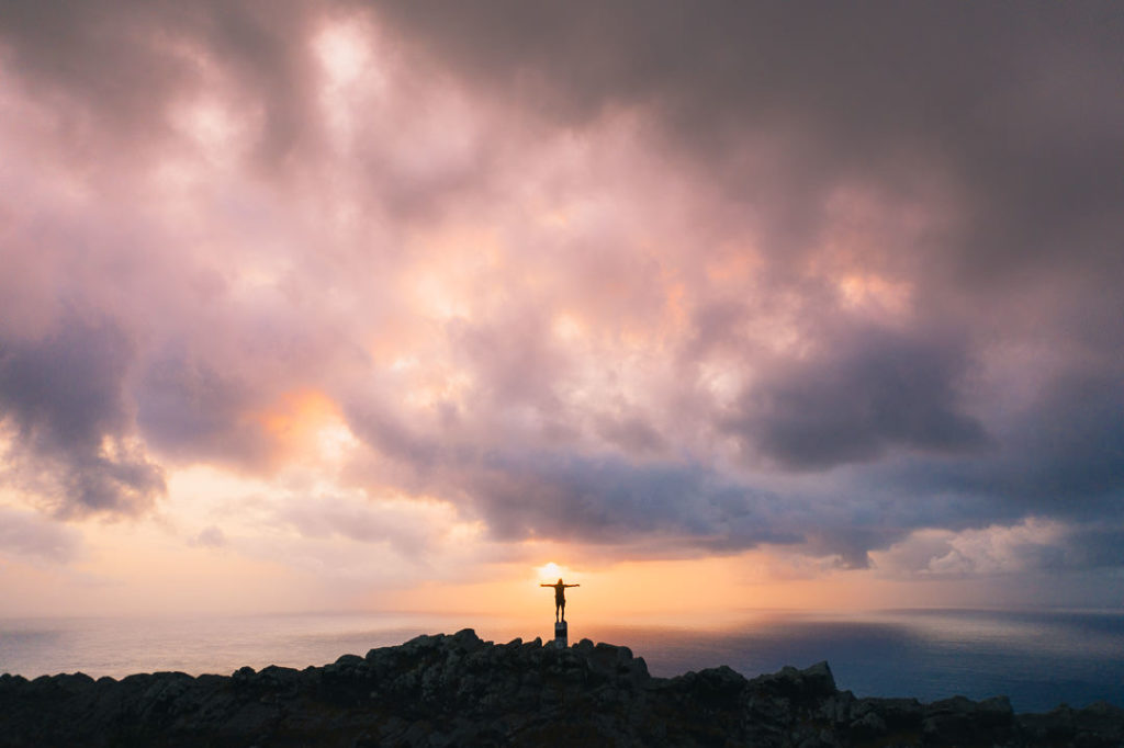

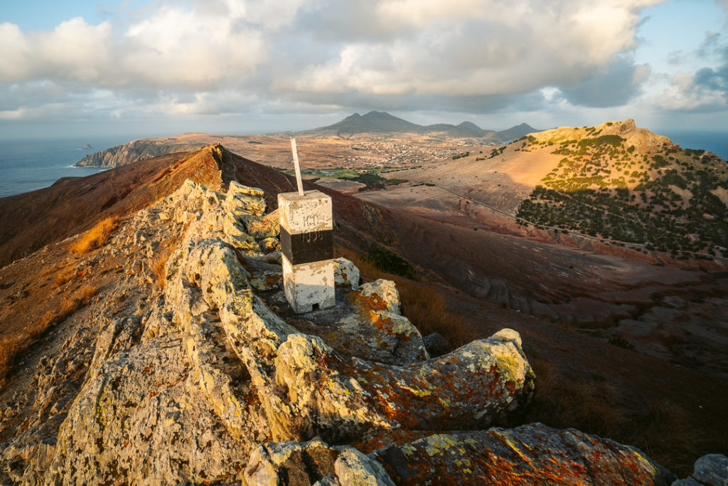
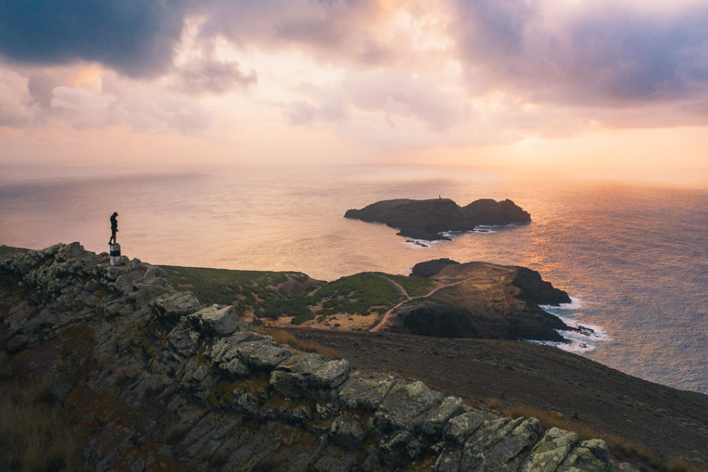
I hope you enjoyed this guide about the 8 best hikes on Porto Santo Island in Portugal. Happy hiking!
READY TO EXPLORE PORTO SANTO? HERE ARE MY TOP GUIDES
- PORTO SANTO HIKING: 8 AWESOME HIKES ON PORTO SANTO
- PORTO SANTO BEACHES: 1O BEST BEACHES ON PORTO SANTO
- WHERE TO STAY ON PORTO SANTO: BEST HOTELS AND RESORTS ON PORTO SANTO
- ULTIMATE PORTO SANTO TRAVEL GUIDE: 28 AWESOME THINGS TO DO ON PORTO SANTO
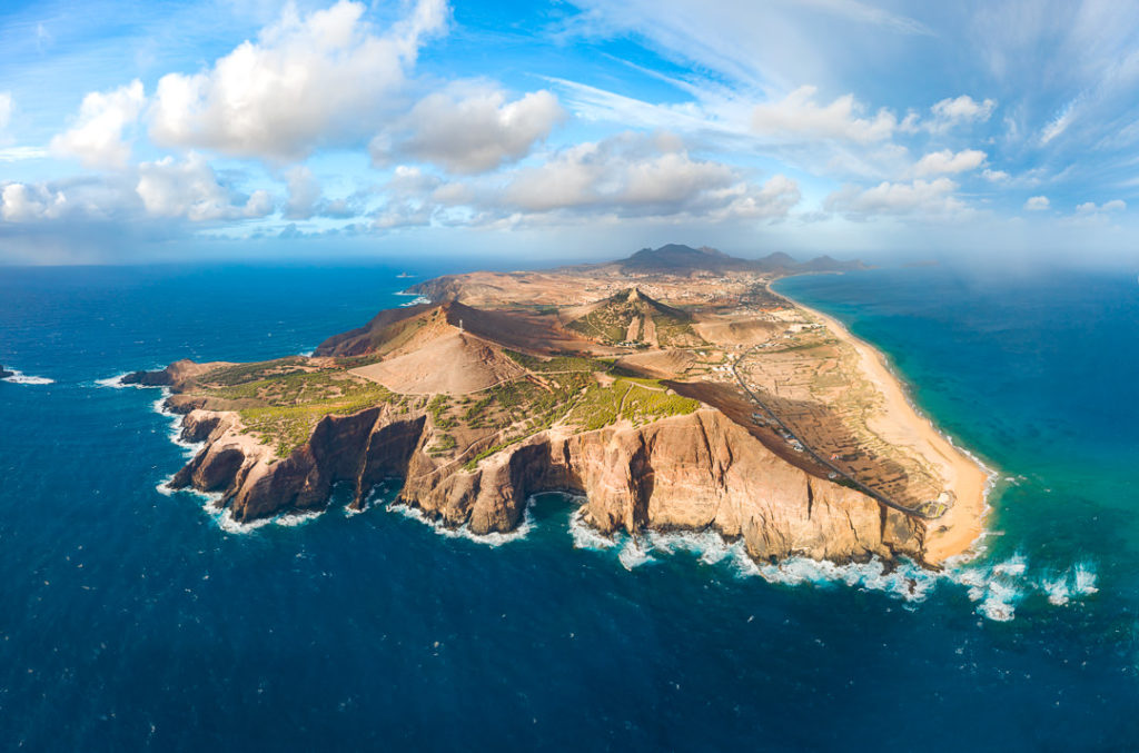
WHERE TO STAY ON PORTO SANTO
There are a lot of options on Porto Santo Island from big all-inclusive hotels to small Airbnb apartments. I’ve written a huge post about all of the best options when it comes to Porto Santo and you can check it out here: WHERE TO STAY ON PORTO SANTO ISLAND: 11 BEST RESORTS AND HOTELS
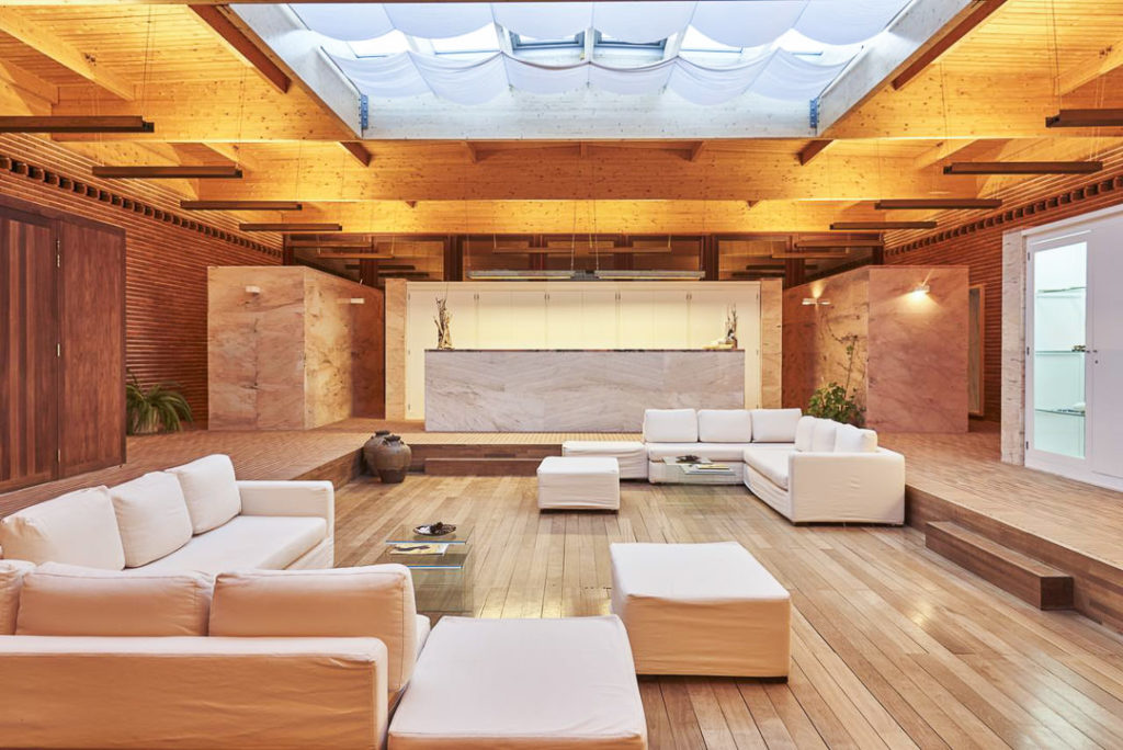
I stayed for five days at Vila Baleira Resort and five days at Hotel Porto Santo & Spa but also heard and saw great things about Pestana Porto Santo Beach Resort & Spa. Here’s a quick glimpse at those three, beautiful beachside accommodations.
VILA BALEIRA RESORT
Vila Baleira Porto Santo (Luxury & All-inclusive): THIS IS WHERE I STAYED! Vila Baleira is a 4-star resort situated right on the golden sand beach of Porto Santo. The rooms are on one side of the road and the restaurant and pool area are directly next to the beach. I had the all-inclusive package, which meant we got a wristband when we arrived and then had buffet breakfast, lunch, and dinner as well as unlimited coffee and alcohol all day, every day.
Click here to check the best current rates and availability of Vila Baleira Porto Santo.


Pestana Porto Santo Beach Resort & Spa (Luxury): This is a 5-star resort on Porto Santo Island and it is by the largest hotel group in Portugal. The moment you step in the resort you’ll be rewarded with a blissful setting and its world-class amenities. I would’ve liked to stay here and from everything, I heard while on the island, it is a pretty awesome place to stay. It’s the top pick for a hotel on Porto Santo Island if you want luxury!
Click here to check the best current rates and availability of Pestana Porto Santo Beach Resort & Spa.

Hotel Porto Santo & Spa (Luxury): THIS IS WHERE I STAYED! Another classy, 4-star resort is Hotel Porto Santo & Spa where I stayed for my second 5-day period on my 10-day trip to Porto Santo Island. I’d happily recommend this Porto Santo hotel for couples and those looking for beachfront luxury with a very relaxing atmosphere. On top of that, the spa has a Turkish bath, a heated pool, massage rooms, relaxation spots, hot sand therapy, and more. Not to mention the restaurant serves fresh local dishes.
Click here to check the best current rates and availability of Hotel Porto Santo & Spa.


David
Wednesday 2nd of August 2023
Hi Jackson, your blog about Porto Santo has been an incredible inspiration for our 1 week stay there, for hiking and finding the best swimming spots. We did about 4 picos, 2 tidal pools, some miradouros etc. based on your detailed descriptions. Just great, thank you very much!
Luis Vasconcelos
Friday 25th of September 2020
Showing Porto Santo to the world. The underrated Island
Jackson
Sunday 27th of September 2020
Cheers mate, beautiful island.